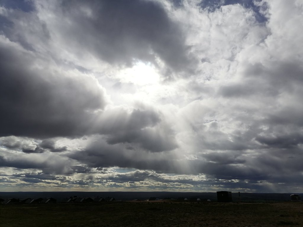
This was the greatest Aurora Borealis show in 20 years!
All pictures by Esko Koivula
In the very south parts of Finland it was cloudy so we didn’t see anything!


This was the greatest Aurora Borealis show in 20 years!
All pictures by Esko Koivula
In the very south parts of Finland it was cloudy so we didn’t see anything!
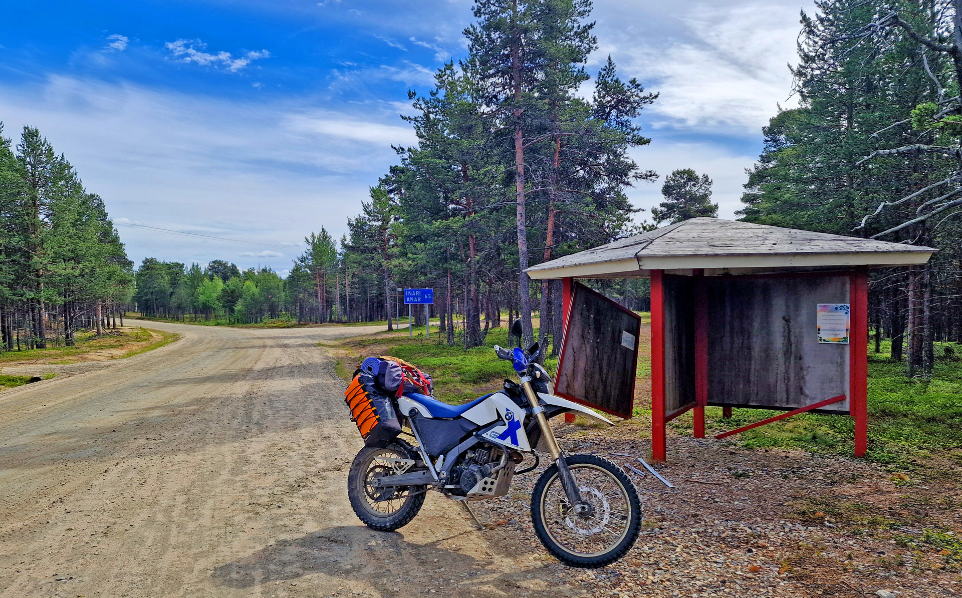
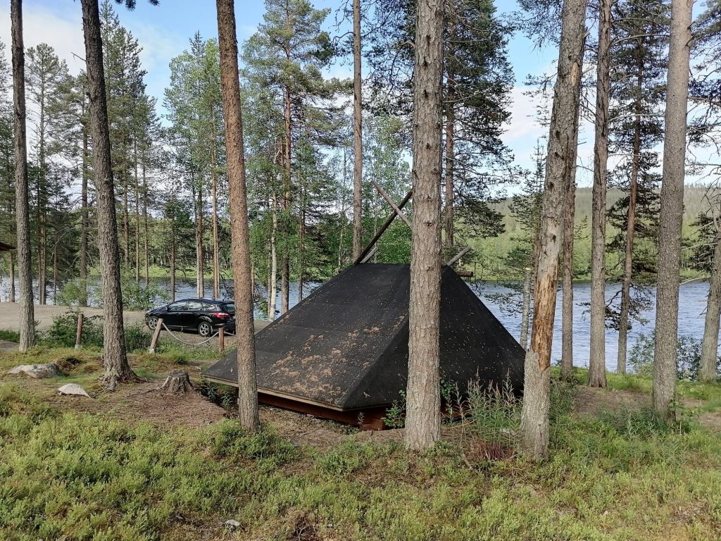
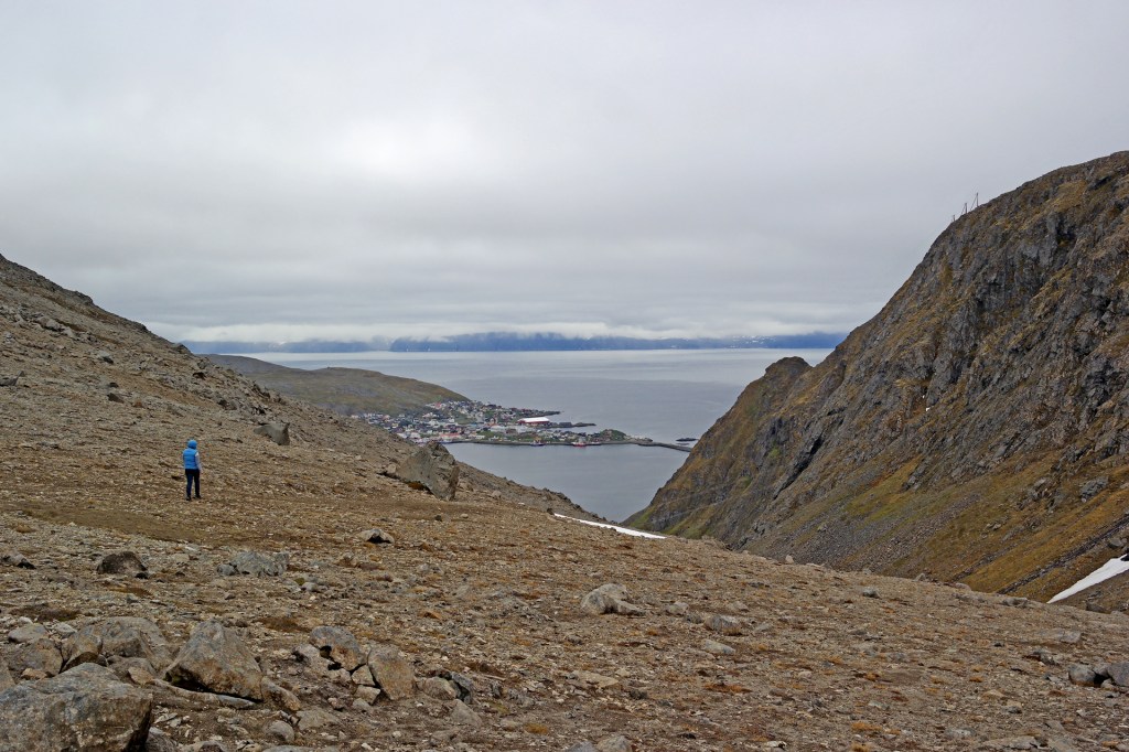
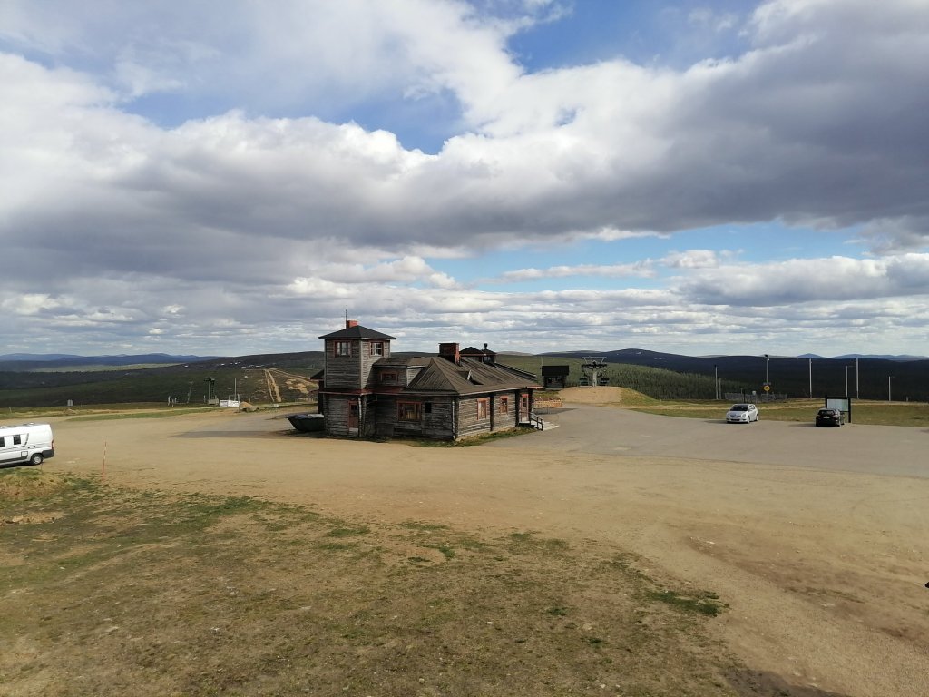
After a great night sleep in Inari Uruniemi camping (30€ only!) I was more than ready to start exploring new possible section for TransEuroTrail Finland.
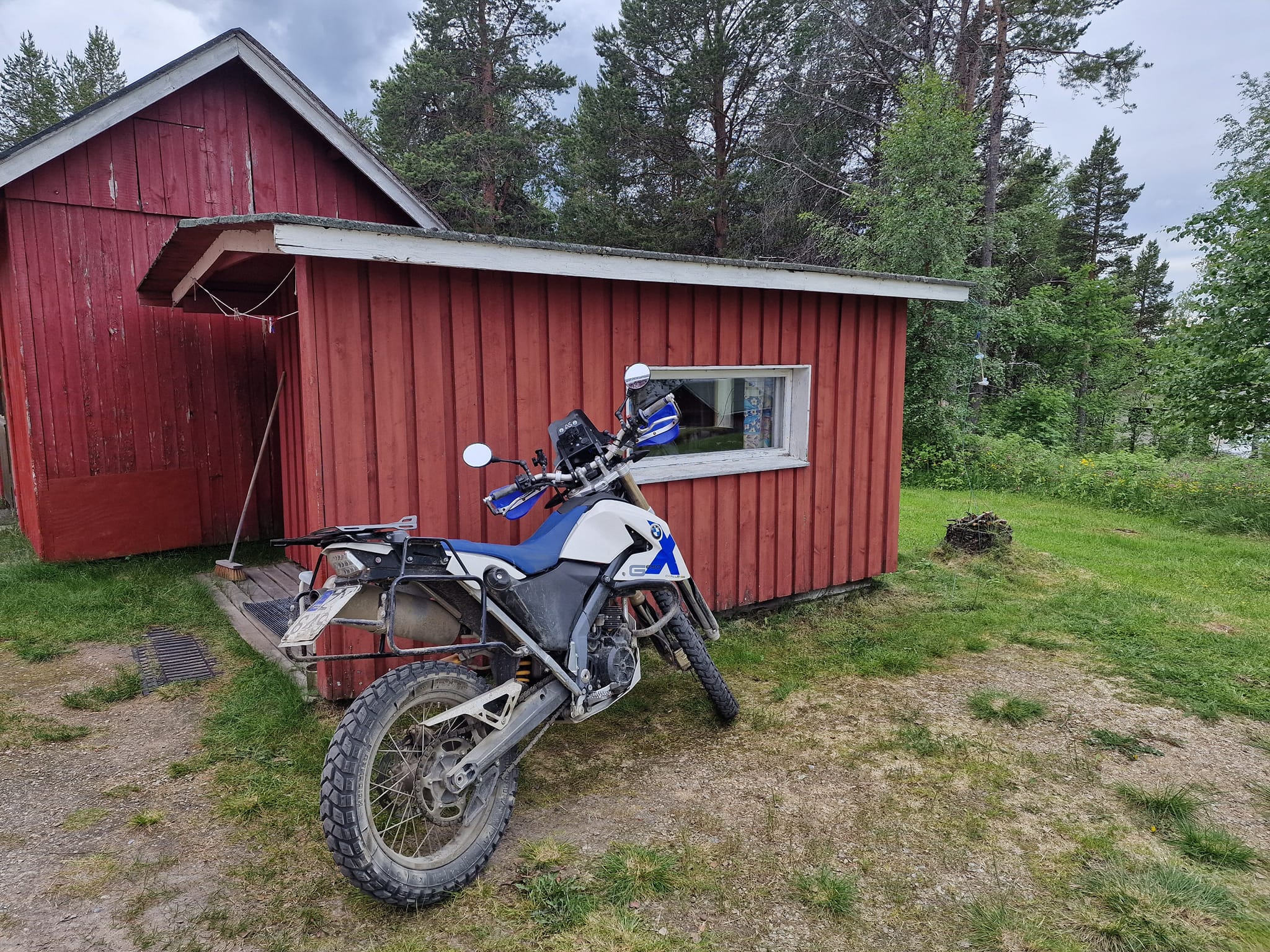
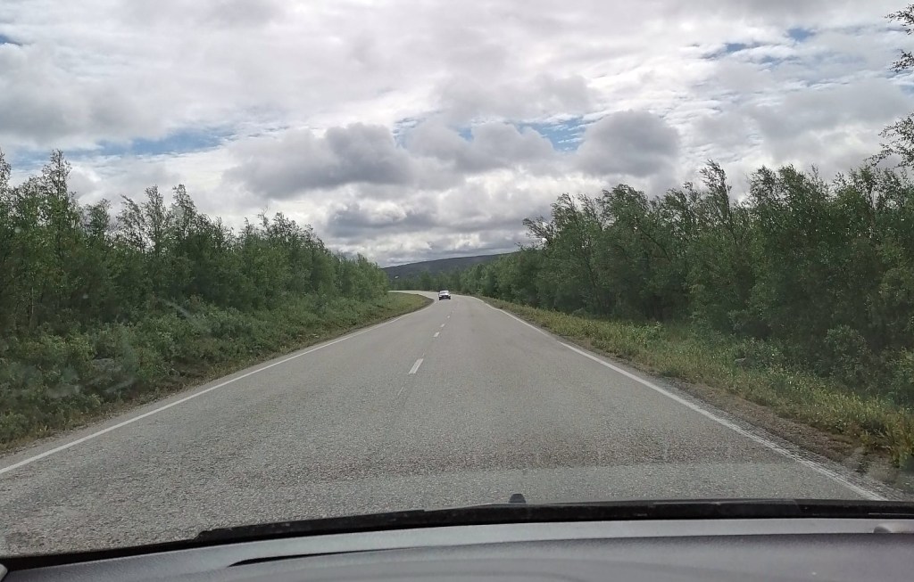
First I had to ride the section 7 until it’s starting point which was still more than 100km away behind Pokka village. And it was paved road all the way there.
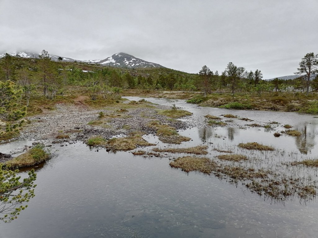
Actually before the “starting point” of section 7 I turned away from the paved road and all the fun started!
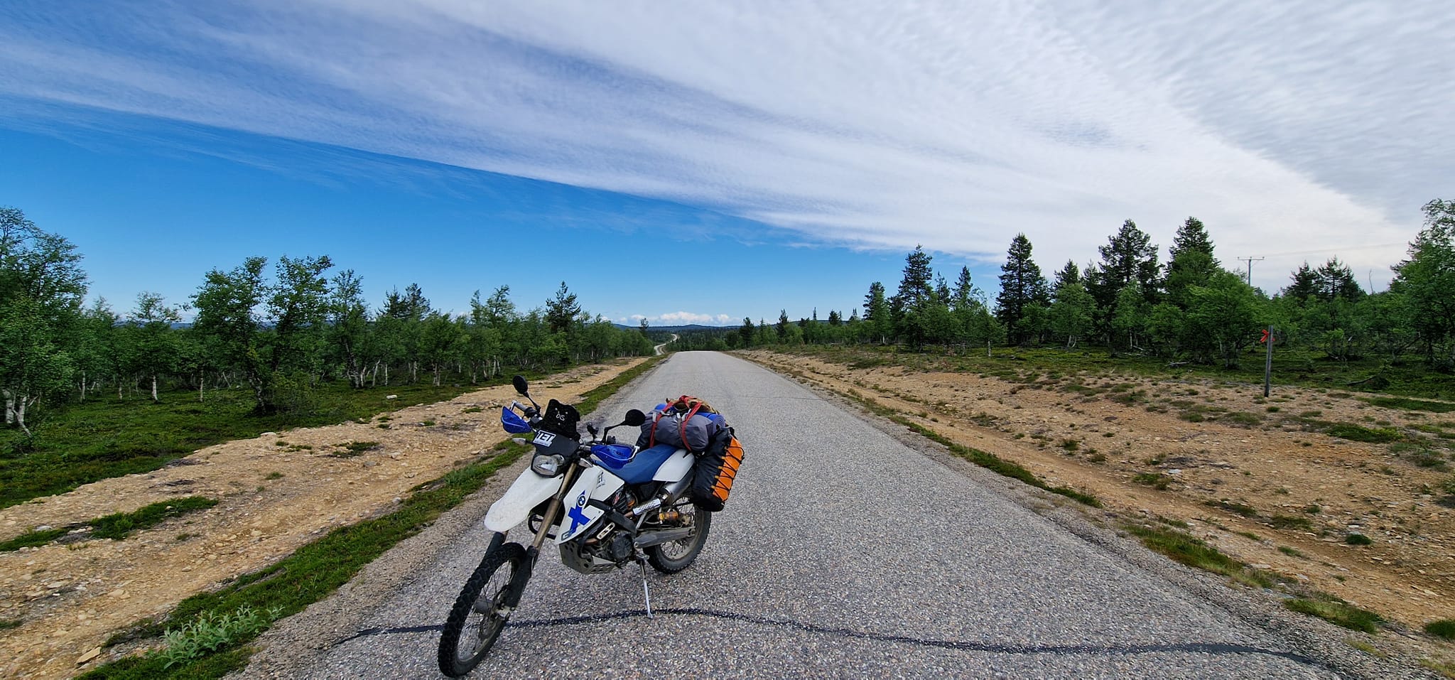
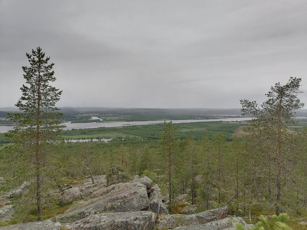
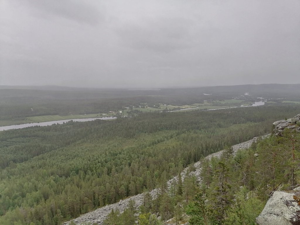
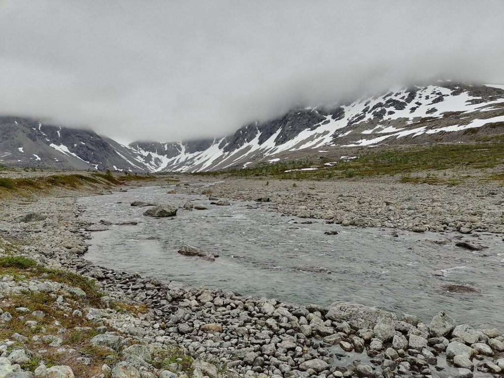
I soon joined with section 1 and was riding 27km together with the “main section”! And that was maybe the best road/ track that I had on this day!
Then I had route ahead of me that I knew nothing about. I planned the route to make it a section of it’s own but at some point I realised that it could be a continuation of an already existing section 7!
So all this new route would be just a new beginning part of that section. And after the update the section 7 is now 770km long!
So I was riding all the way down to Rovaniemi and it was almost 500km of riding!
Here’s the video of that day:
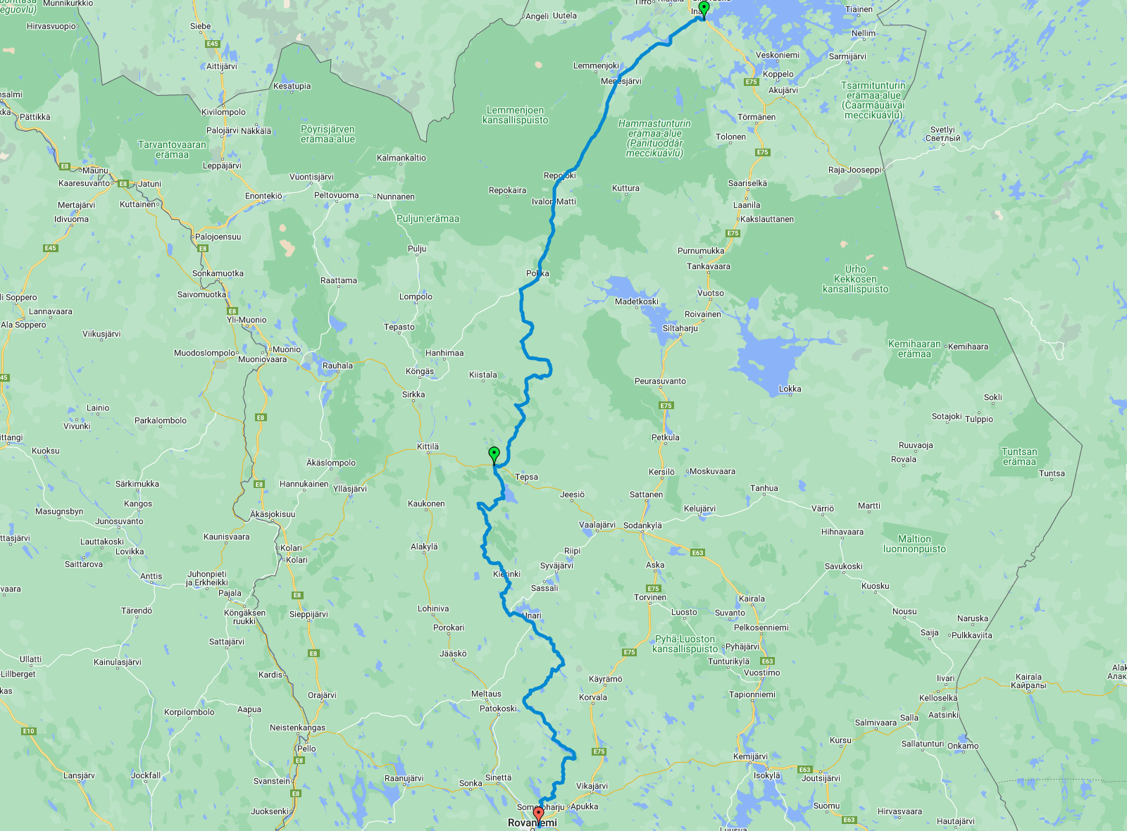
The route for the day 5 looks like this:
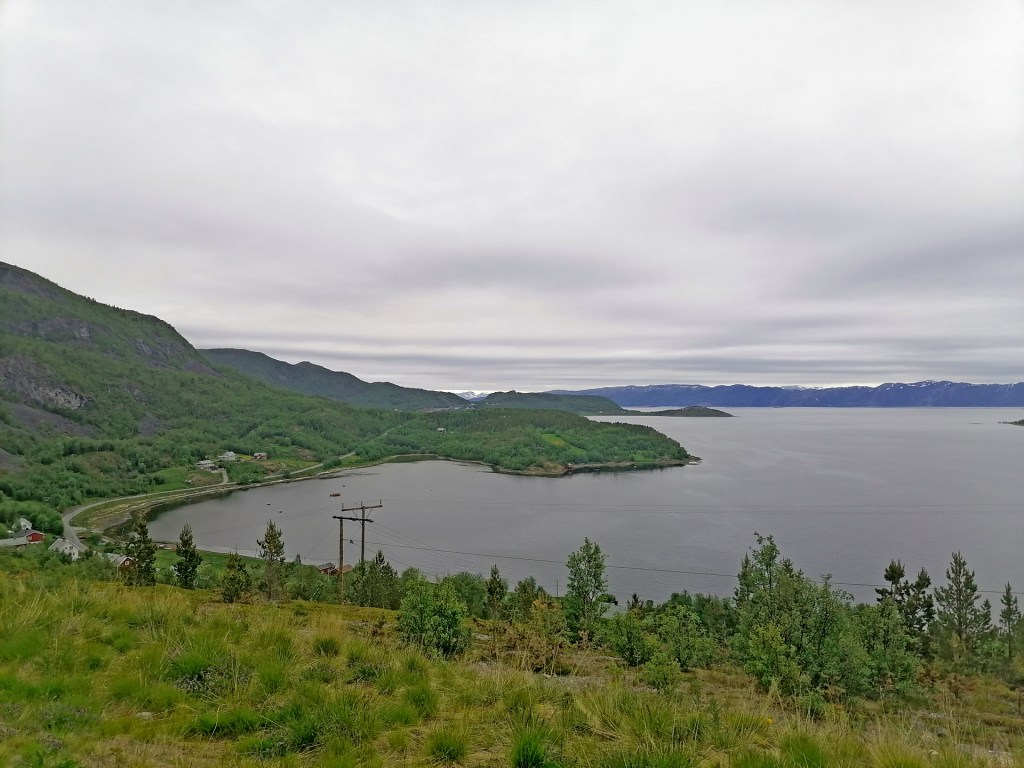
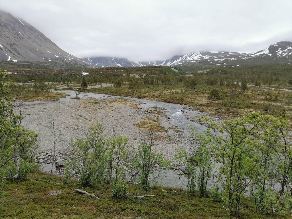
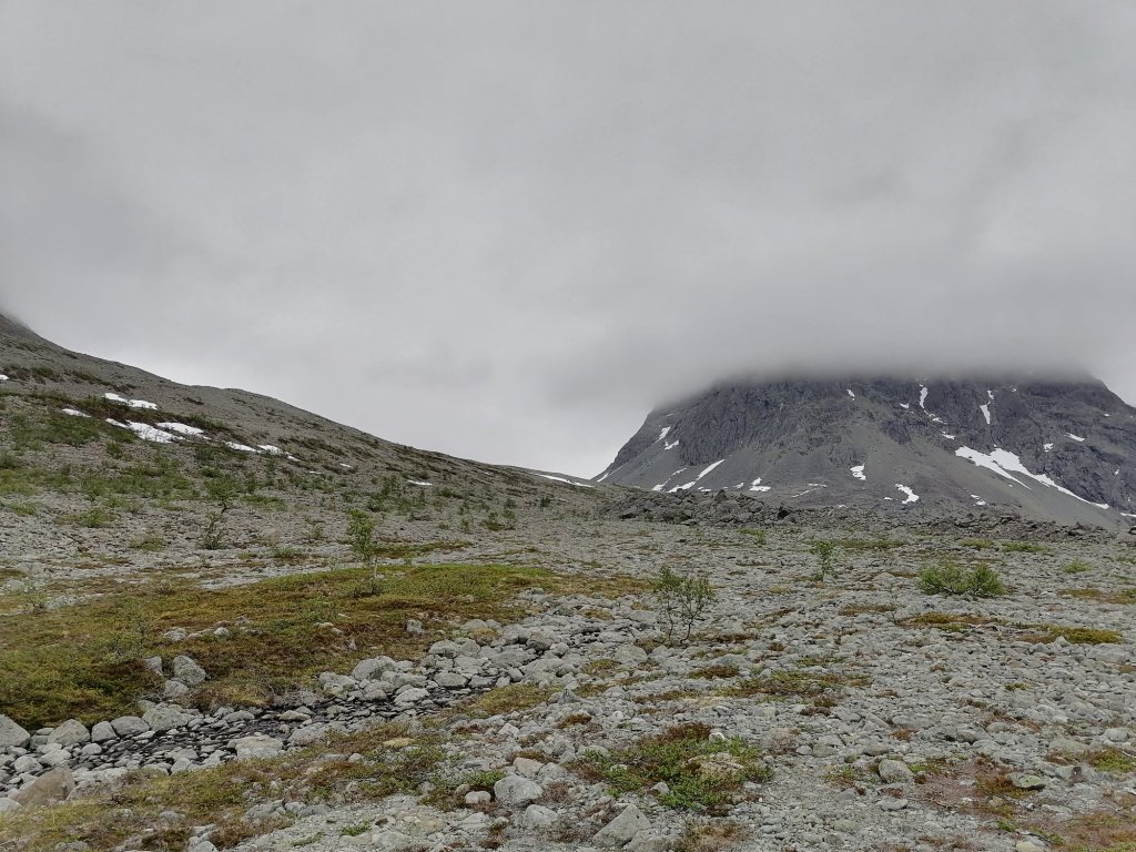
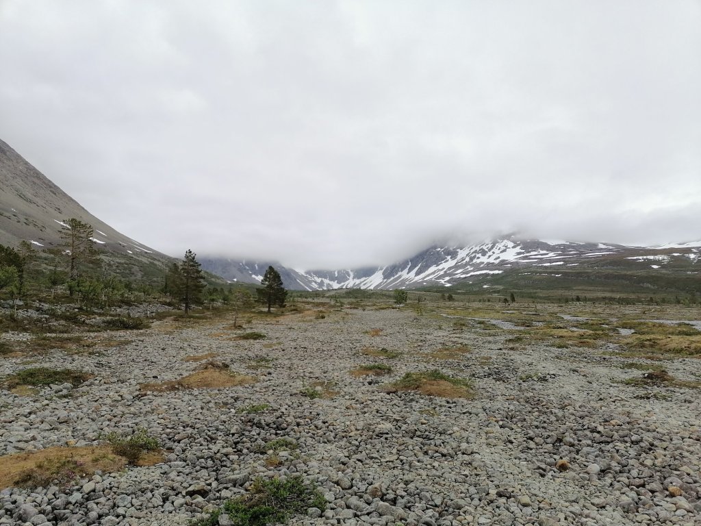
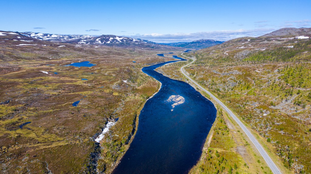
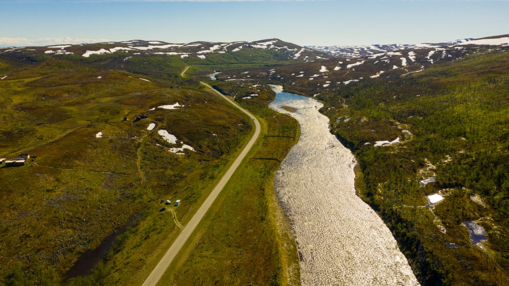
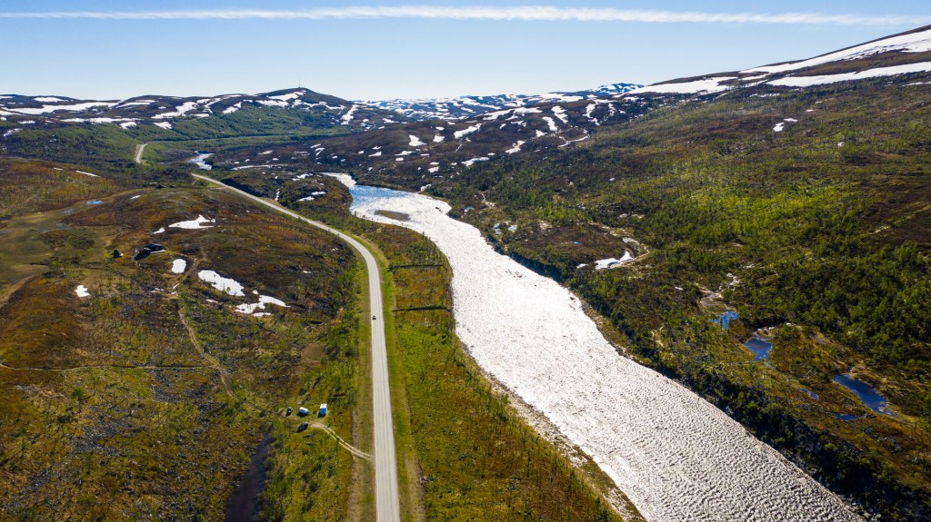
My friends Eero & Lauri decided to continue west towards Kilpisjärvi. I had other plans so I started riding east. I was riding a big road all day. First it was paved road until I was in Finland and then from Karigasniemi to Angeli and Inari it was big gravel road.
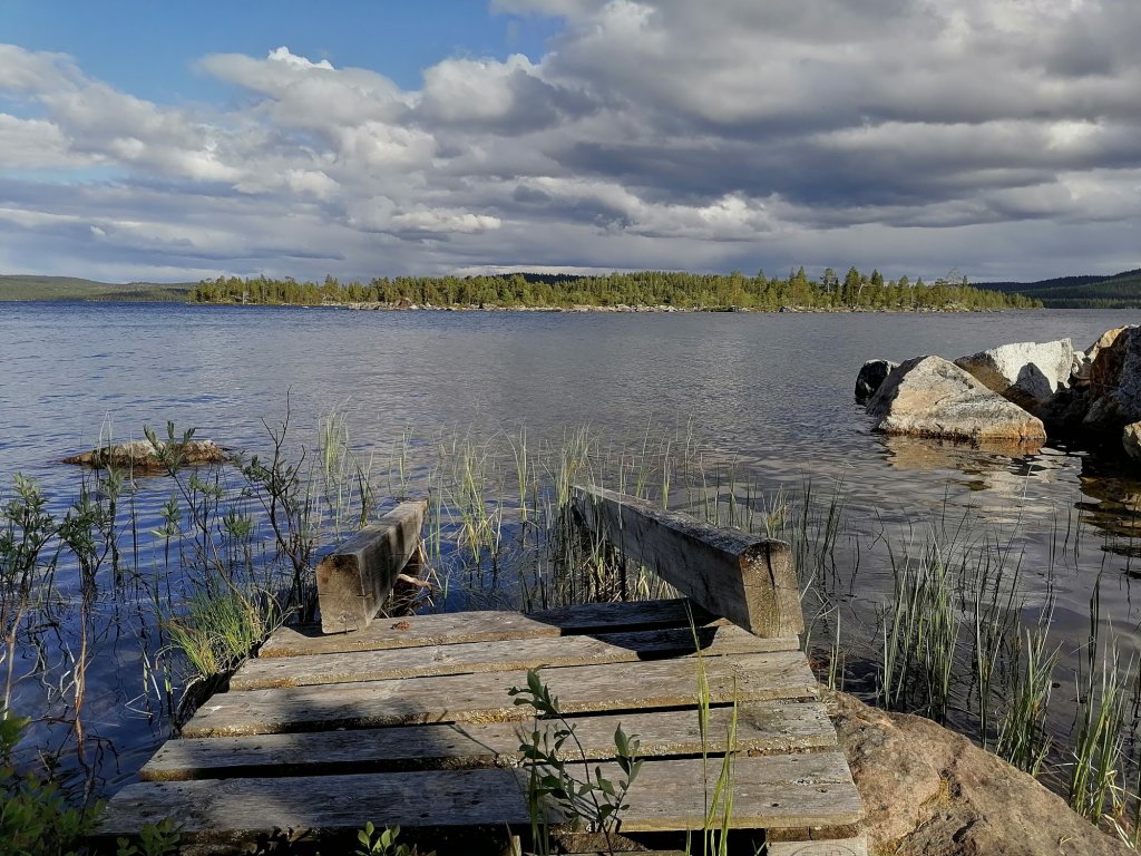
In Vuottašjávri I took a short break and checked the place beside the lake. But there was too many mosquitos and black flies. So I continued riding.
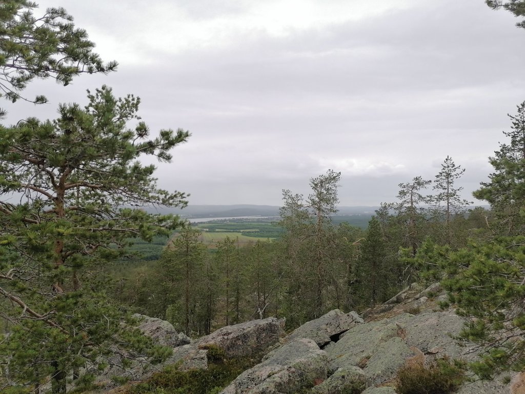
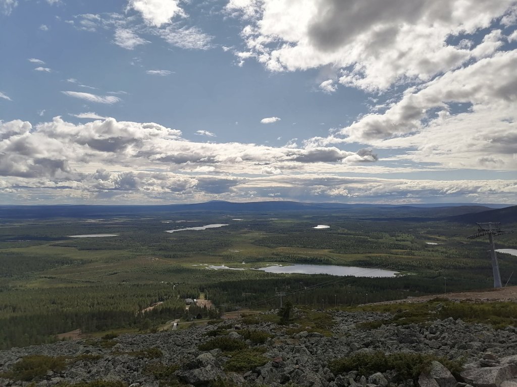
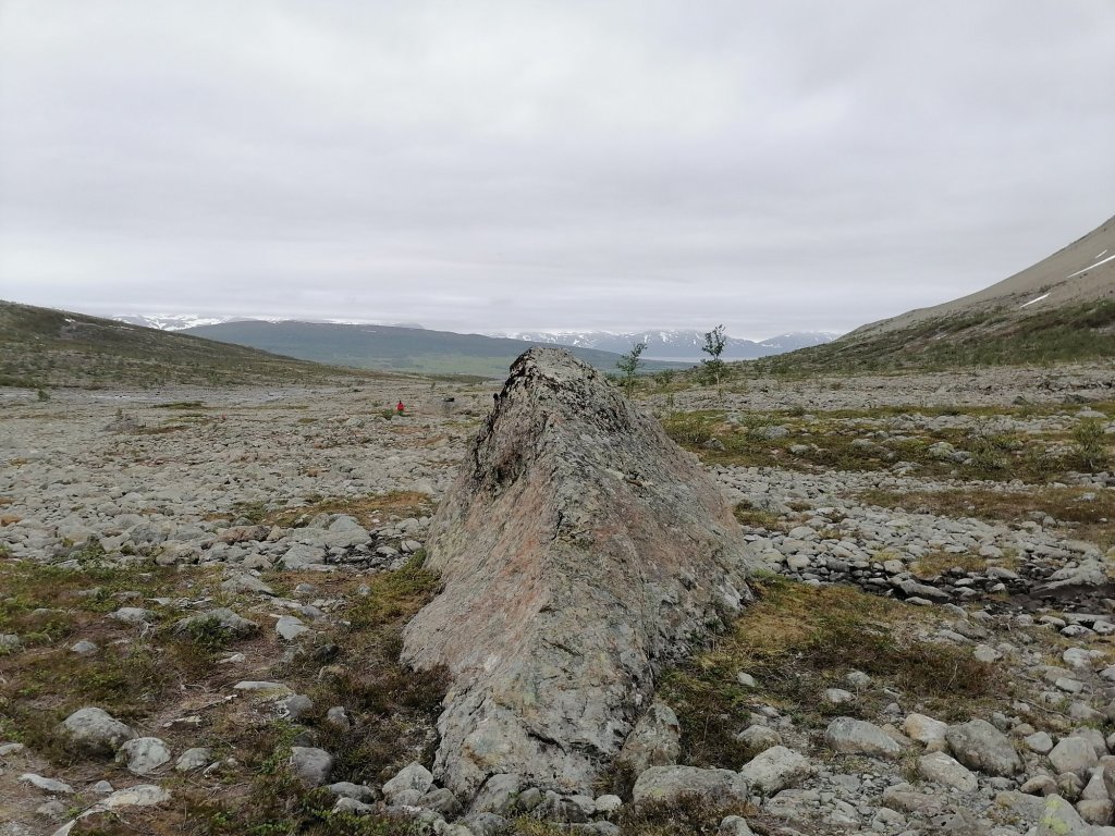
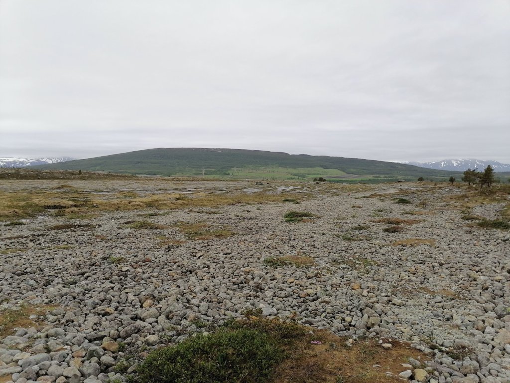
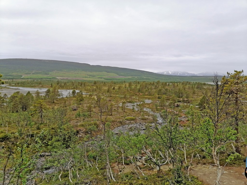
The landscape and views are incredible in this area! So I can say that I did enjoy my ride. It was 370km all together!
The village of Angeli I have never visited before. I had to search the result for a quite a long time about how many people lives in this village. It’s less than 100!
The road from Karigasniemi south to Angeli and then east to Inari is also part of TransEuroTrail Finland section 7.
Here’s the video of this day. It’s the road up and away from Alta, so called Alta Canyon road.
Day 2 started with a light rain but it was over before I started packing my bike. Second time packing was already much faster and easier (& better). First I was riding back to Muonio and from there I called my friends Eero & Lauri who I knew were staying somewhere close in a cabin. I also had a place there for the next 1 or 2 nights.
We wanted to explore the area and make a warm up for the next day. And it ended up being such an amazing riding day! First to Pakasaivo lake and then some smaller tracks/ roads to Äkäslompolo village where we filled the tanks and enjoyed some great lunch in Ravintola Rouhe. Then we continued to the Rautuvaara mining area and we spent maybe 2 hours exploring the tracks there. That was such an amazing area! After the mining area we still checked some smaller tracks in the forest of Kolari and Muonio. For me it was first 70km to the cabin and then 200km with my friends. The route was like this:

The video of the day is here:
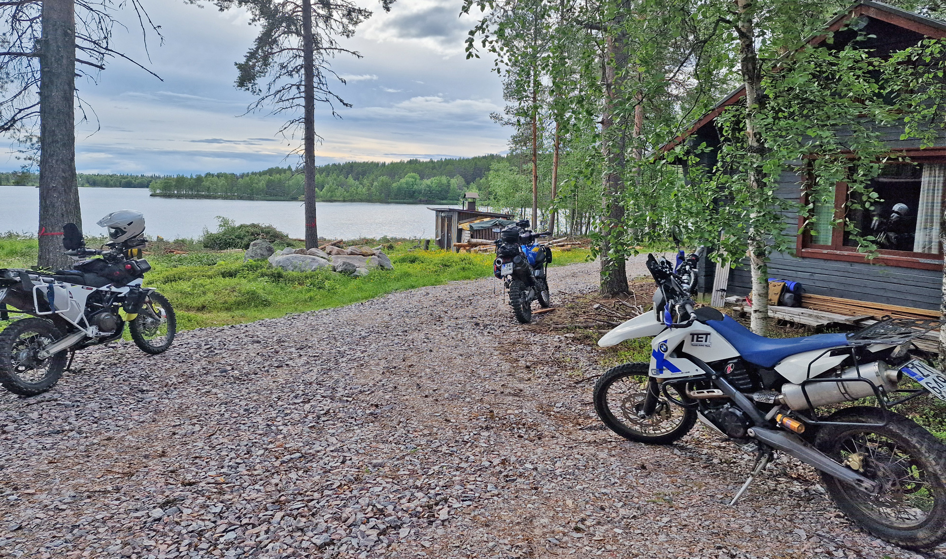
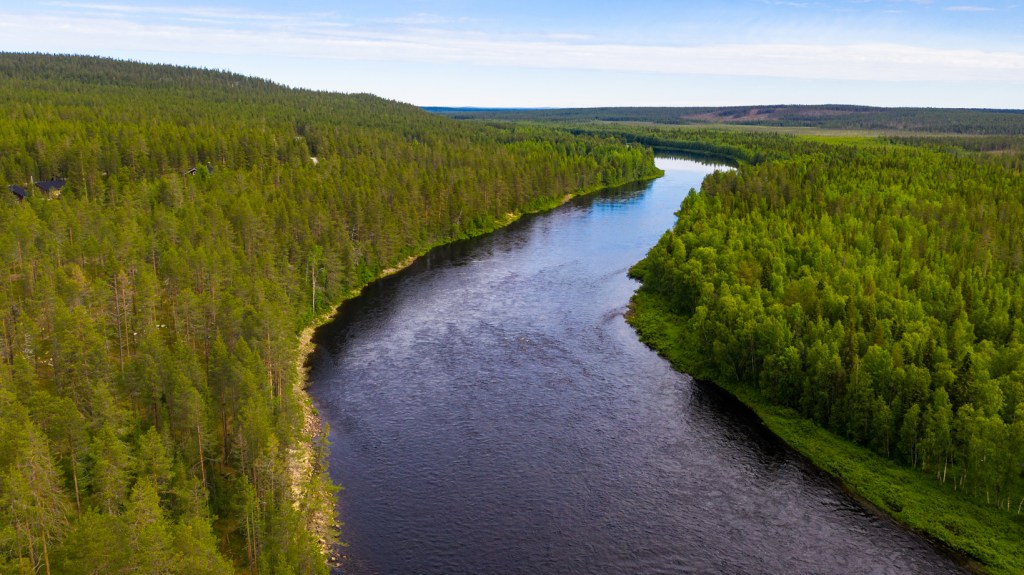
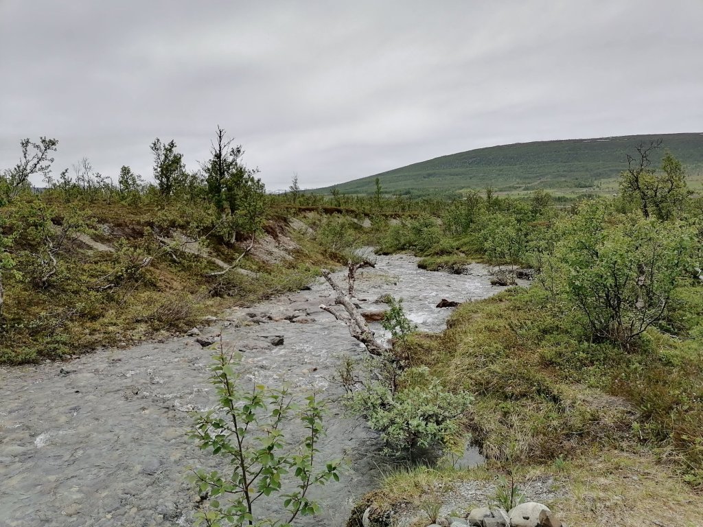
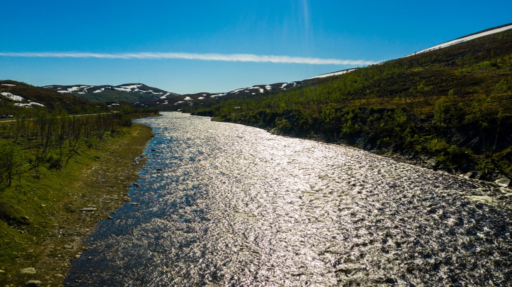
Waking up beside the river in Lapland is quite nice. I took my drone up even it was max 50m.

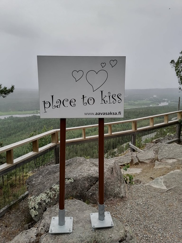
Later the weather was not very nice in Finland either. But there was a chance that it wouldn’t rain so we decided to go up to Aavasaksa -after we crossed the Arctic circle…
Aavasaksa is one of the first “Tourist attractions” in Lapland. There was visitors from other countries already in 18th century. In 1881 they built “Emperor’s Hut” for possible Russian Emperor visit but it never happened!
Aavasaksa is 242 meters high “mountain” just beside border of Sweden and Torniojoki -river. On the top of the hill is also one of the Struve Geodetic Arc -points. We took a walk around 2,5km path on the top of the hill. We had to take our raincoats because it was raining a little bit.
We also checked little bit of the city of Tornio -I was very interested how they had arranged the check in points on the border? But it was just a border patrol car beside the road before Sweden.
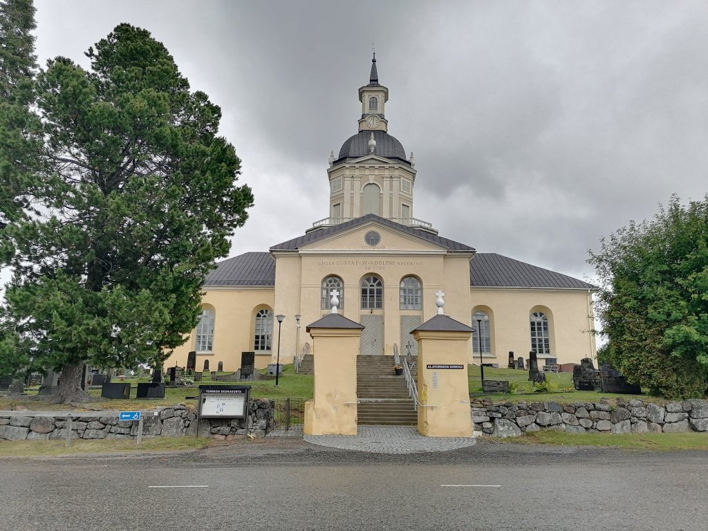
There is an old church in Alatornio. This was built (1797) only 11 years before Sweden lost a war against Russia. And the church was built honoring the King of Sweden -I would say quite bad luck for him!
Then we drove all the way south of Oulu to the island of Hailuoto! Because weather forecast was quite nice for the evening and for next morning! Yes, the evening was nice but there was also quite strong wind!
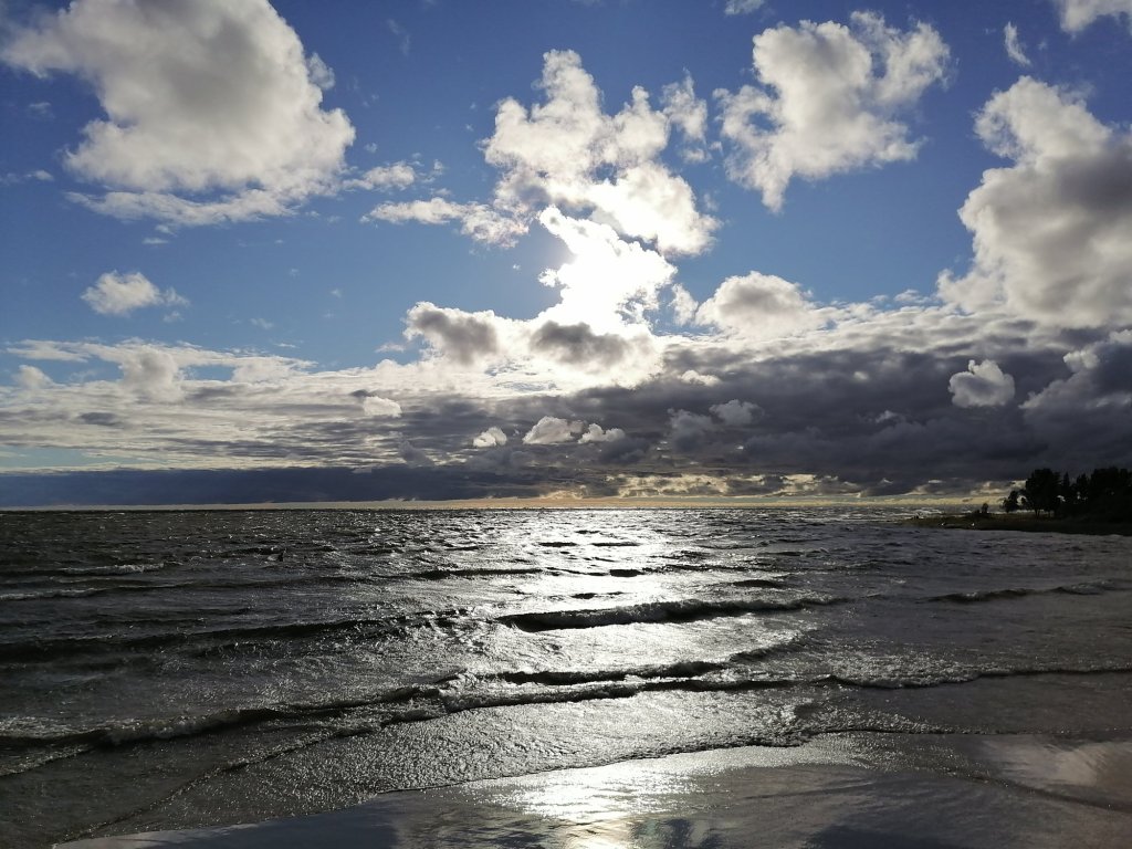
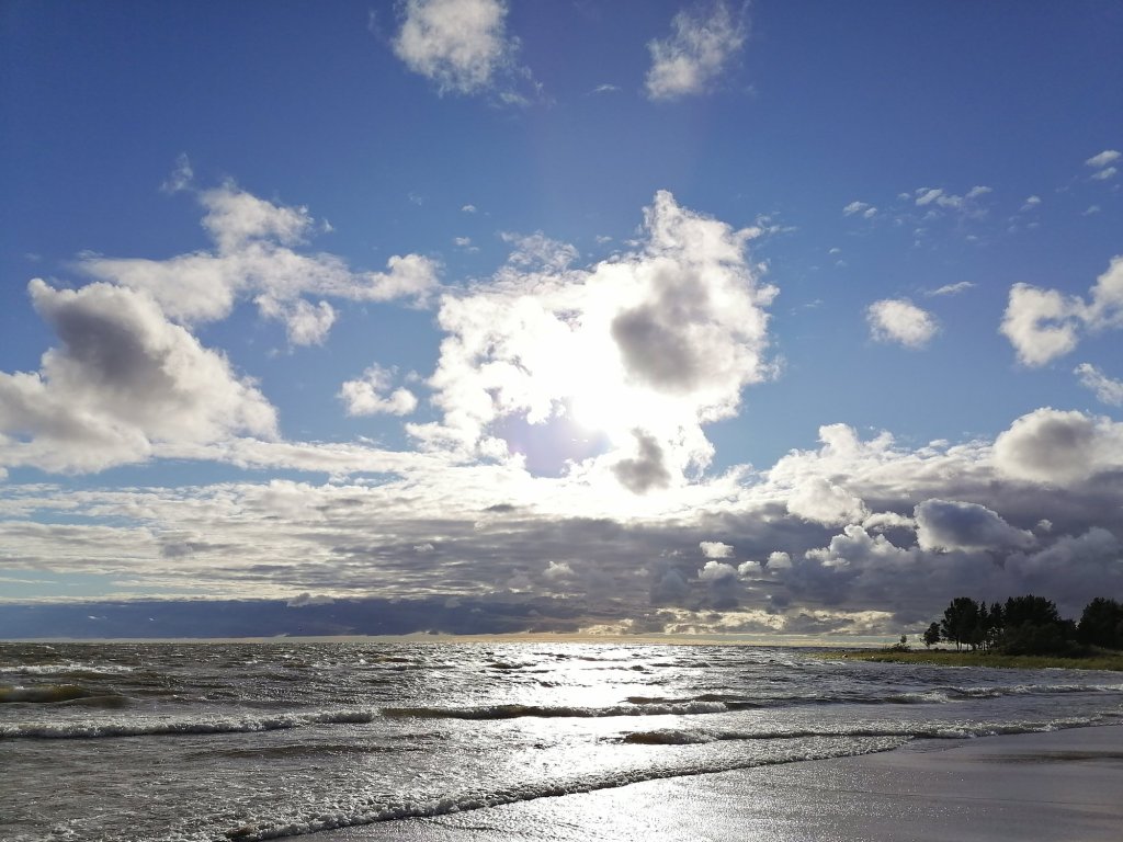

Trying to make a dinner in this kind of wind was interesting. Ok the food was great but there was some sand and small stones as a spice!
Route for the Day 11 was like this:
Escaping the rainy Norway…
This was second day with rain and the weather forecast didn’t look nice at all… So we decided to drive back to Finland. In Norway we spent 2 nights in a car, 1 night in a camping area cabin and 2 nights in a hotel. Temperatures were mostly about 10-13 degrees celsius and it was cloudy.

After 2 hours and 150 km’s we reached our homecountry Finland. It was still raining! But only about 50km’s later the rain had stopped and we saw blue sky!
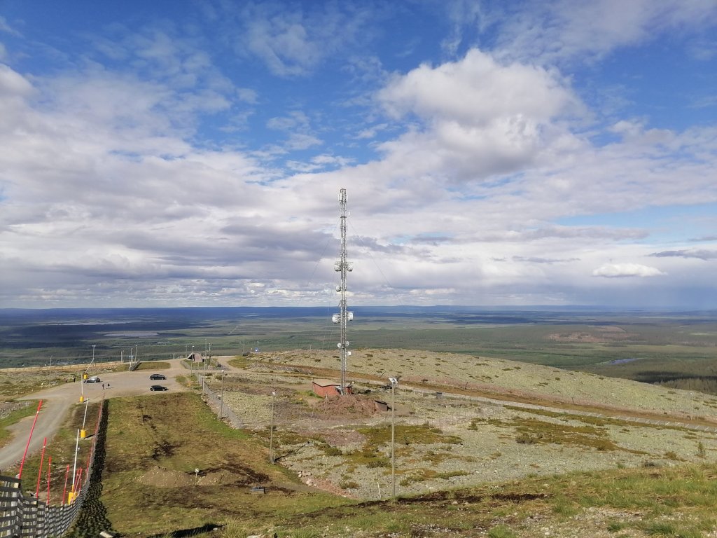
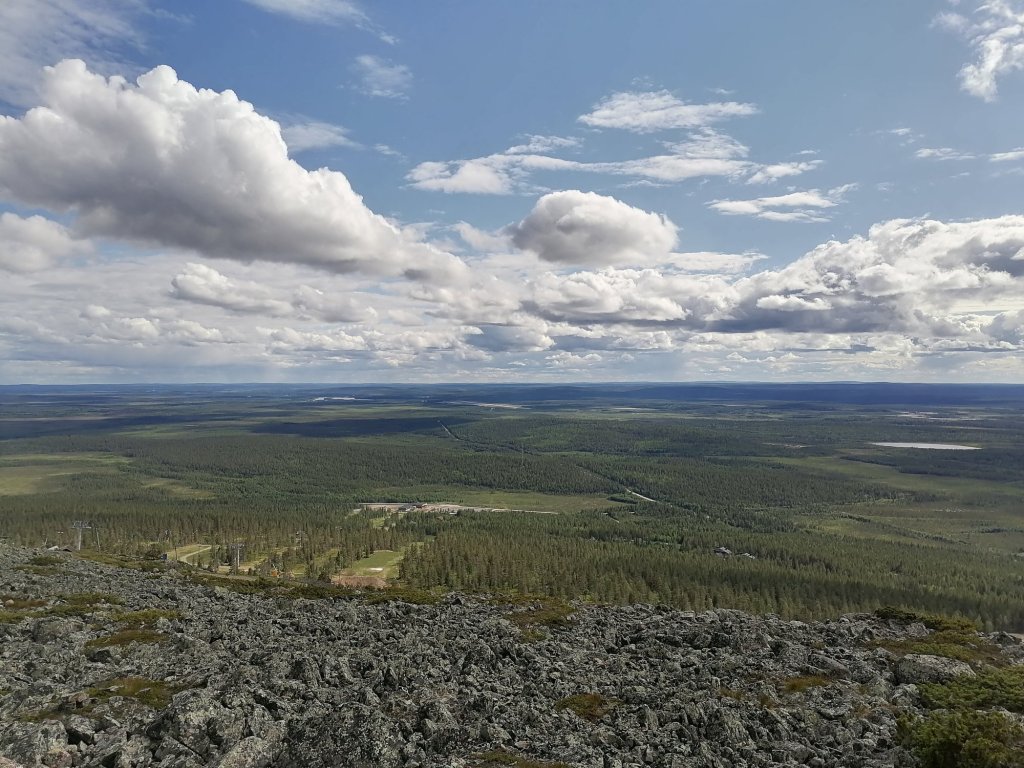
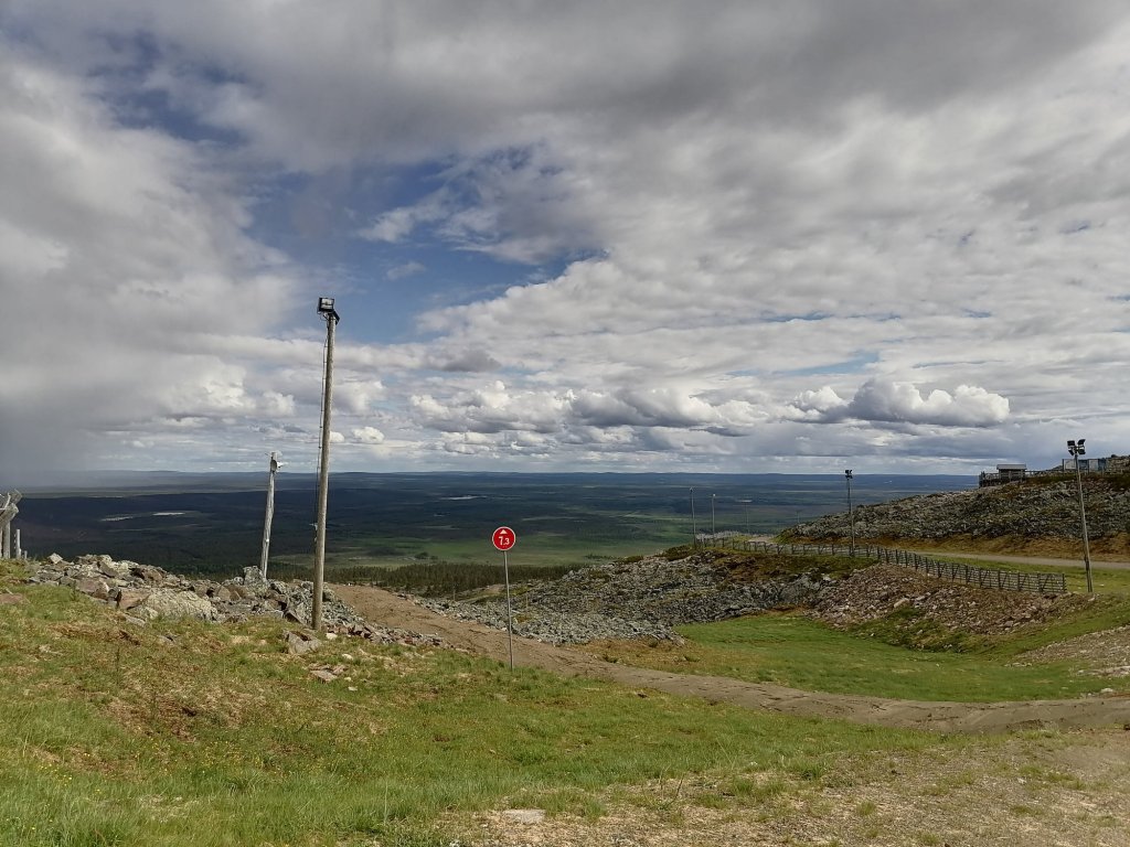
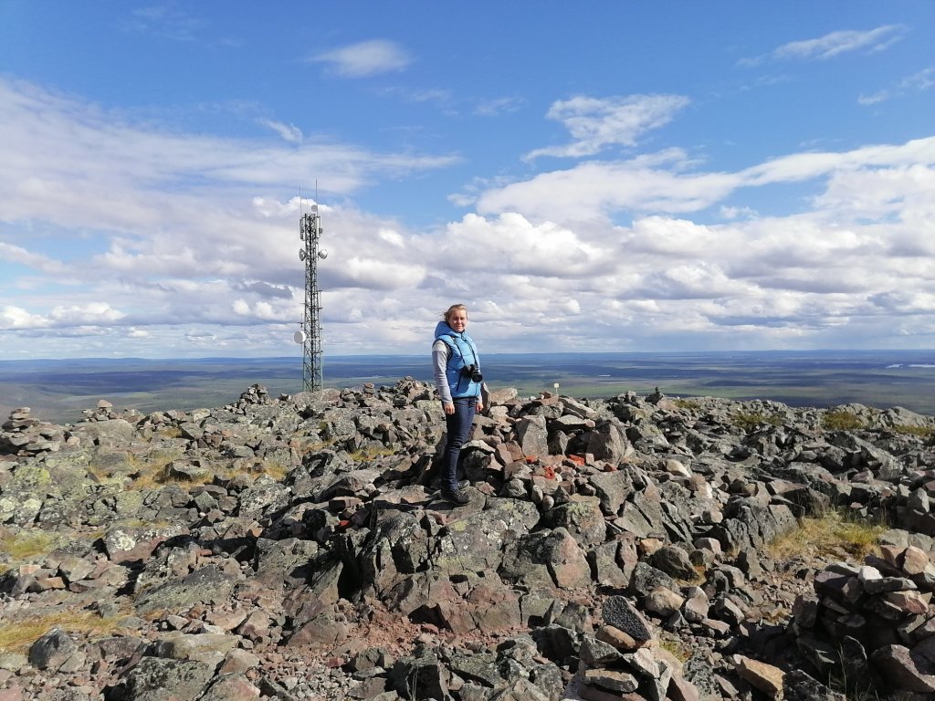
In Muonio we decided to buy new camping cooking system (Trangia). And it was a good decision! From Muonio we took Levi as our goal! And there we drove straight to the top… Or not quite, you still have to climb about 100 meters higher from the parking area. The top of Levi is 530 meters.
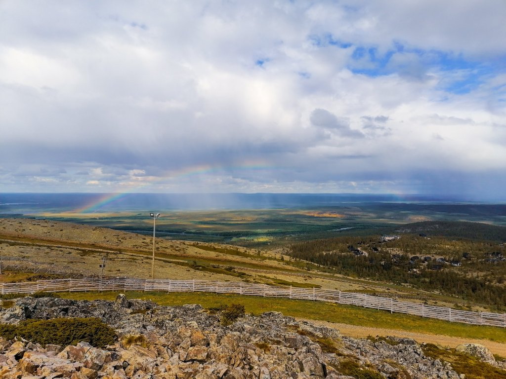
There is nice wooden path to walk around in the top of this “mountain”. It’s only 700 meters but the views are quite amazing to all directions.
We had even a rainbow in the beginning of our walk!


Then it was time to find a place for sleeping in a car. There was nice lean-to just beside Ounasjoki -river. A perfect place to get to know better all of those mosquitos…


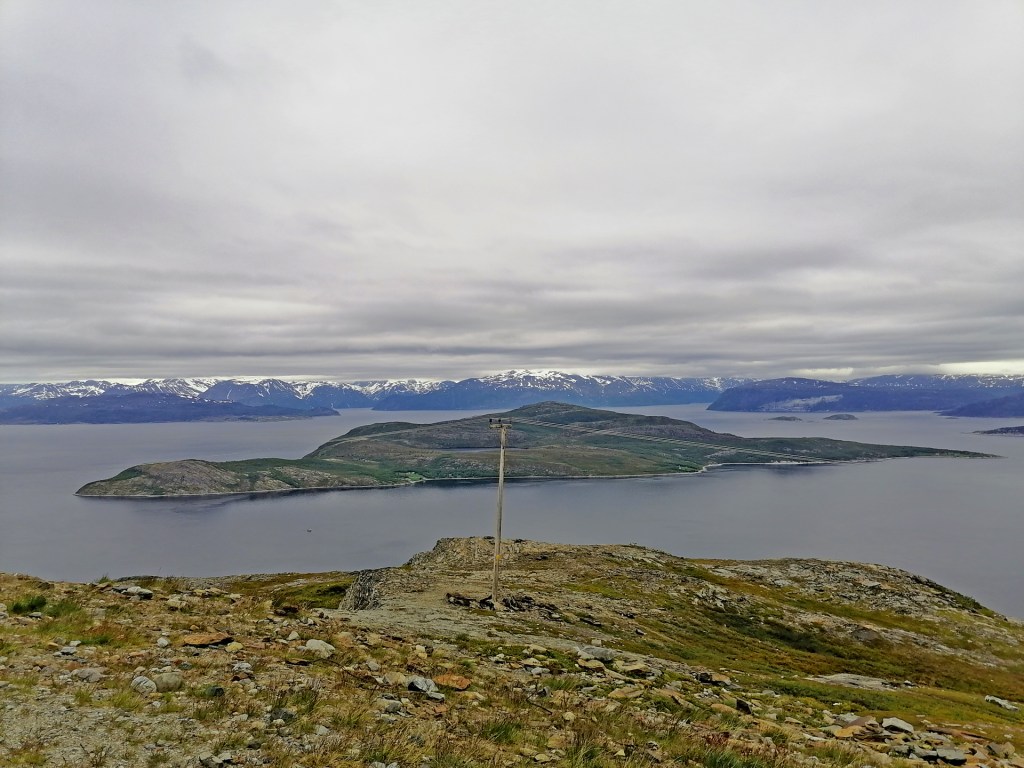
Day 7 was about driving west in quite cloudy and grey weather. It was a big pitty because there is many places to admire the landscape and the view to the sea.
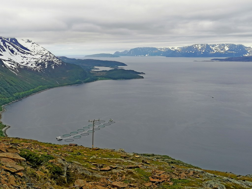
We took also 1 ferry from Olderdalen to Lyngen. It was about 17€ and took about 50 minutes. But soon after this ferry we arrived to our destination!
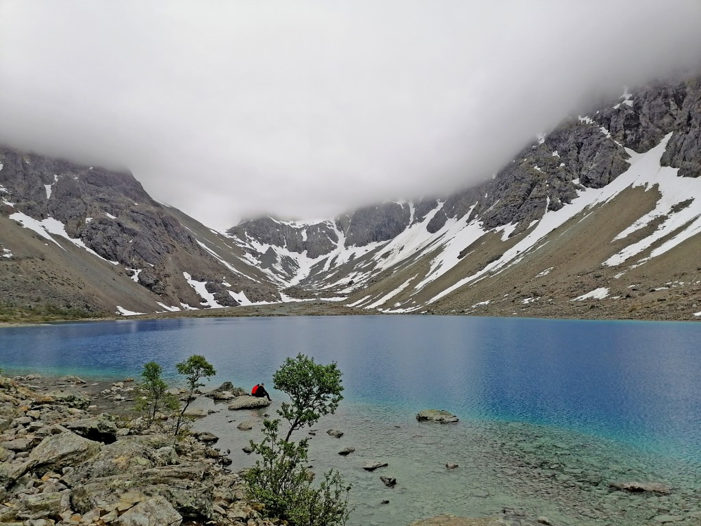
Blåvatnet
This is a small lake located in Lyngen municipality in northern Norway. Area is also famous about Lyngen Alps where the shape of the mountains is more steep than ordinary fjells or mountains in Norway. The highest peak is Jiekkevarre with 1833 meters.
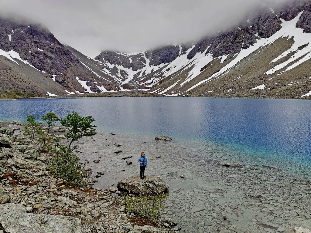
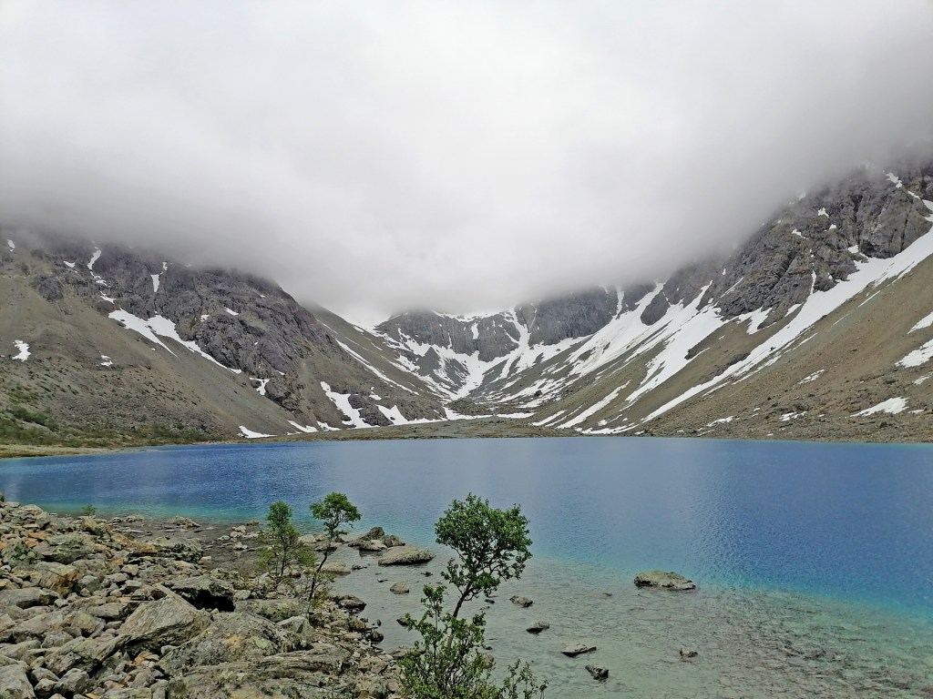
Blåvatnet is one of the most famous hiking places in northern Norway. The lake is about 200 meters higher than the parking area and it’s about 4km’s walk. The landscape is rugged with lots of stones and small rivers to cross. Luckily for us it looked like it would not start raining. We started the walk up to the lake about 3.40 pm.


I was little bit afraid when the weather is so grey that we will not see the amazing crystal clear blue colour of the lake. But there was no reason!
The water of the lake comes straight from the glaciers in the mountains and it stays very very crystal clear all the time!
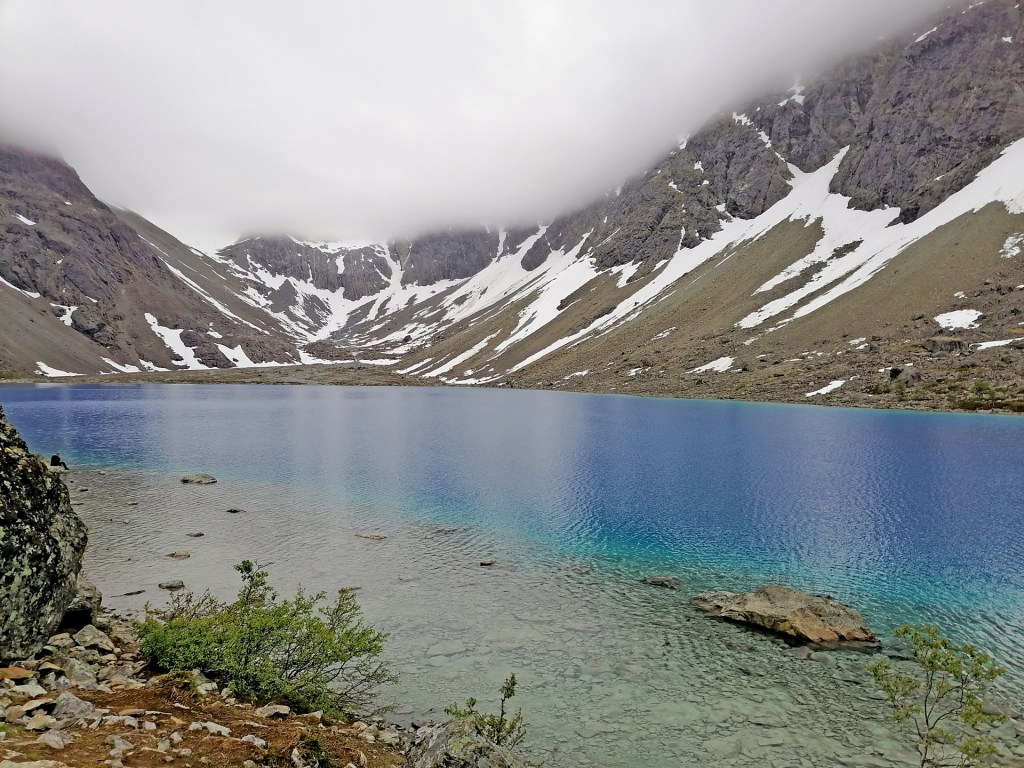
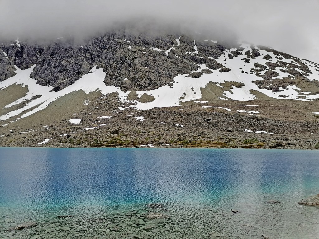
The last 200 meters hike to the lake is quite difficult! The stones are big and sharp and there’s many chances to step wrong and twist your ankle or even worse. The consentration and physical struggle made me sweat quite a lot. Now I understood why quite many said to take your swimming pants so you can swim in the lake! I didn’t have them with me (So stupid!) so I just took off my jacket and t-shirt and flushed my upper body in the lake!
On the way back I took only 3 pictures -Here’s one of them:
When you search the pictures of Blåvatnet you will ofcourse find those ones first that was taken in sunny weather and with clear blue sky. But when you come here you can’t choose your conditions and weather. We are very happy that we saw the lake at least without rain!
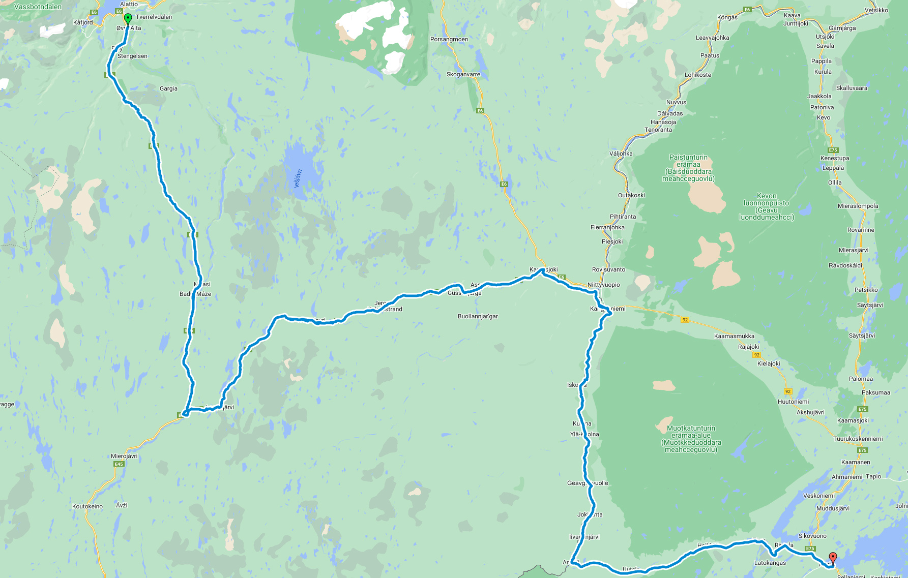
The route for the Day 7 was like this:
It was beautiful morning beside Barents/ Arctic Sea. We started driving first to south towards Lakselv city and then to north towards Nordkapp. Even it was quite nice weather I knew it wouldn’t be like this in the North Cape -ofcourse I was hoping that there would be sunshine!
We made the test cooking with our camping cooking system and I even called to Minna Jakosuo.
I knew she would know the answer and she did!!
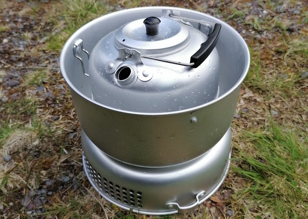
If you keep “The Heart” of this cooking system in the same package with all the pots, the steam from the burning fuel will catch the pots! And it is almost impossible to wash the taste away.
Even this Alcohol Stove has a lid with seal the steam of alcohol is still going outside the heart!
So we didn’t have a proper cooking system anymore… All the pots were ruined by the taste of burning alcohol. Luckily we had quite a lot of food with us that you can eat if it is cold so we didn’t care too much about this.
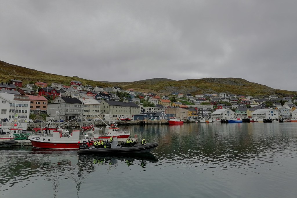
After very nice road from Lakselv to Honningsvåg (about 160km) we at least could check a little bit of this village and the views from the “Viewing point” from the military above this village.
So we didn’t visit the North Cape. It was my second time on this island and again I didn’t go to Nordkapp… (Shame on ME!)
We had to drive the same beautiful road back to the mainland. The more south we were driving the more beautiful the weather was coming! On the southside of Skaidi we made a stop beside the road. It was amazing place with very nice landscape. I made even a drone flight.
We took a cabin from the camping area in Lakselv for the night so we could make proper food!
The route for the day 6 was like this:
Morning beside the Lake Inari was amazing!
We started driving towards Norway. We shortly visited in the last shop to buy something sweet…

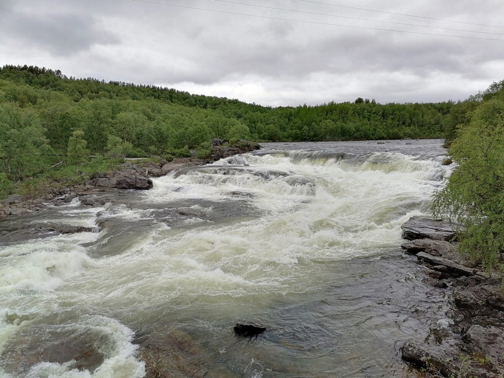
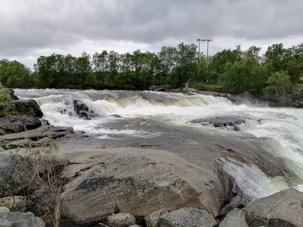
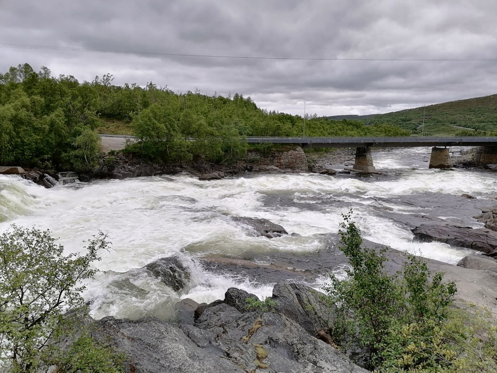
And very soon in Norway there is very nice rapids/ waterfall called Skoltefossen. We stopped to take pictures.

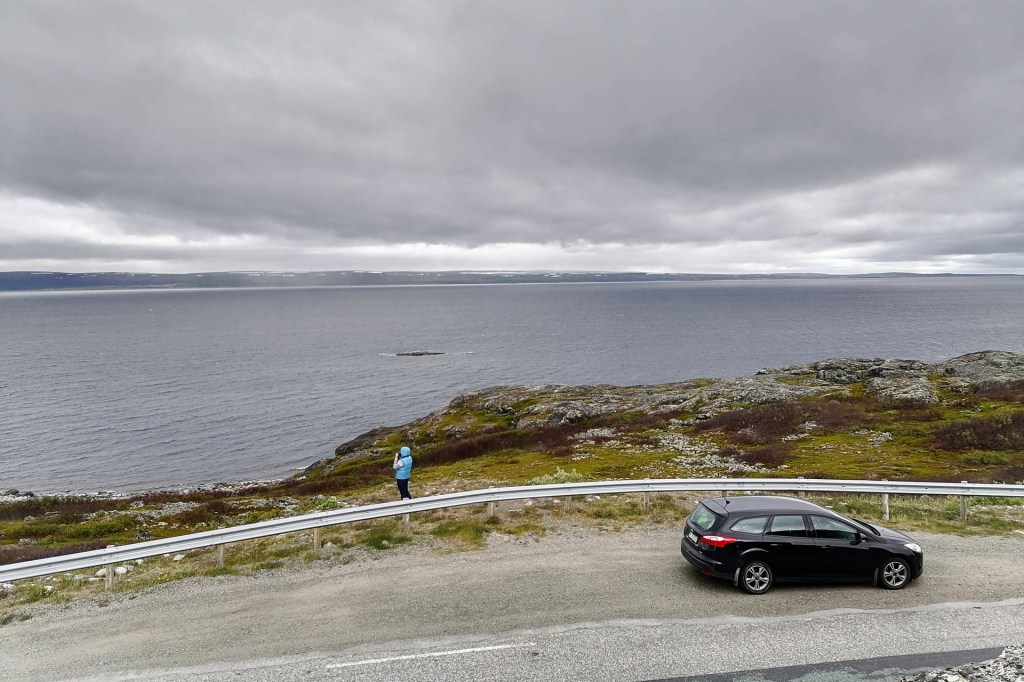
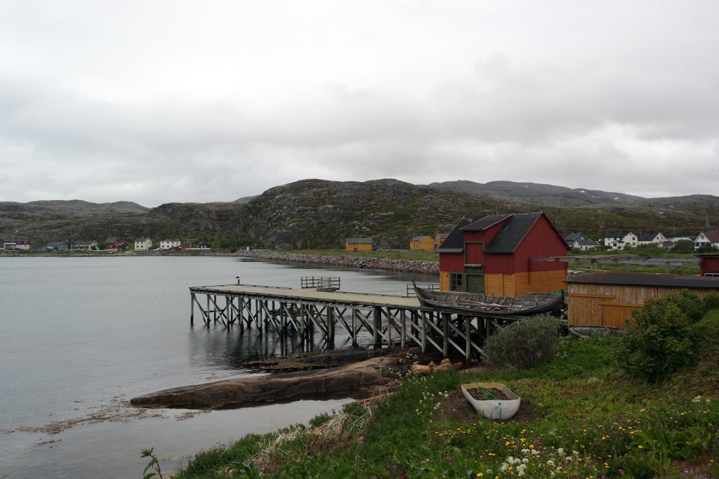
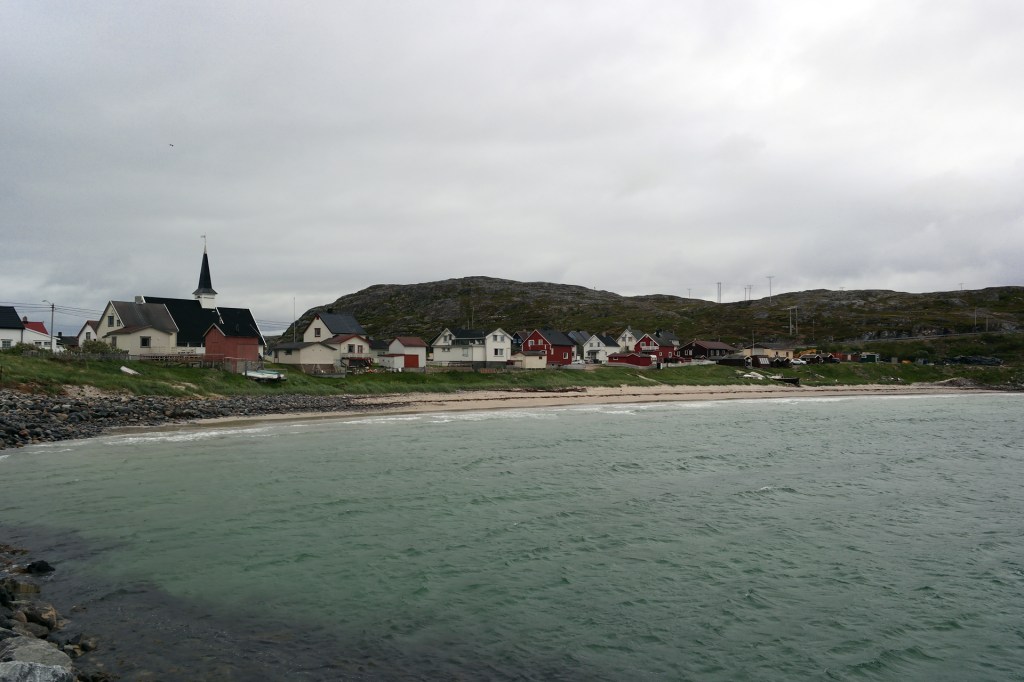
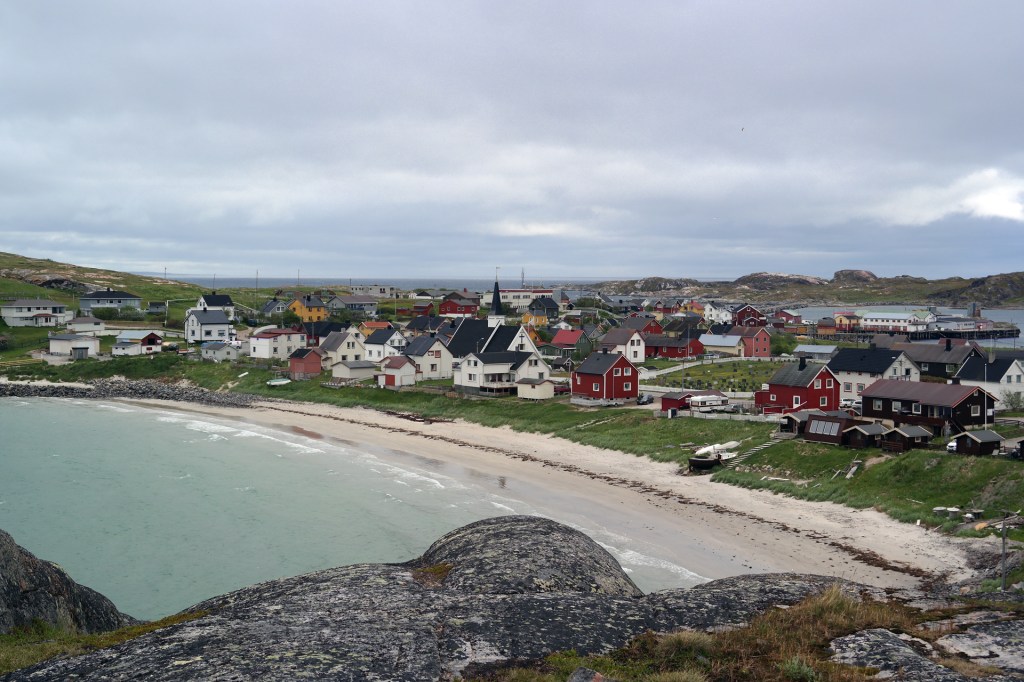
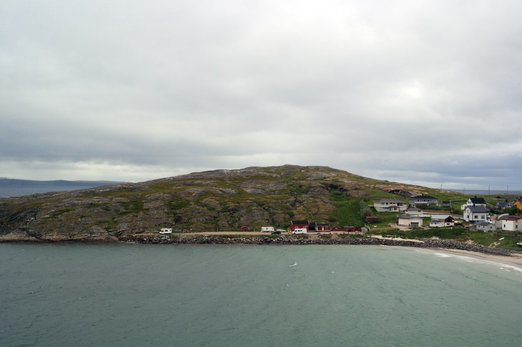
Our route was following the Varangerfjord and the views to this part of Barents Sea are beautiful. It was only few days earlier when one my friend visited Pykeija (Bugøynes) village so I was thinking I need to see this too!
So even our weather wasn’t too nice we checked this small fishing village!
Our driving continued over Tana bridge. This is the only possible route from the “Western part of Norway” to the “Eastern Part of Norway” where this country has border with Russia.
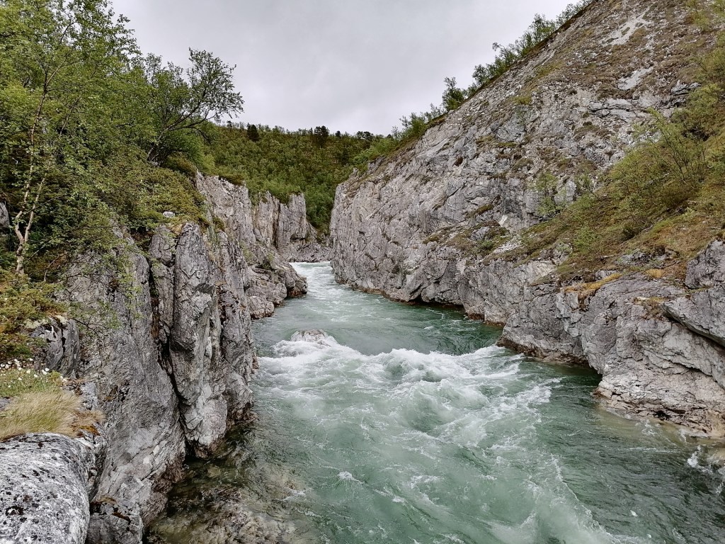
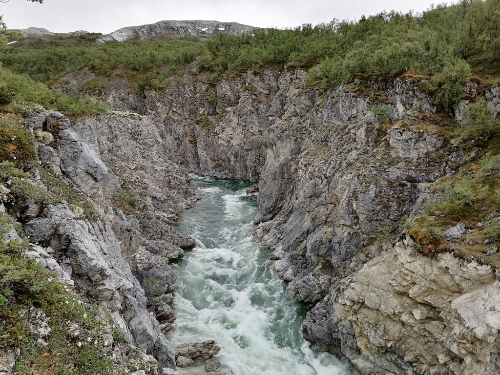
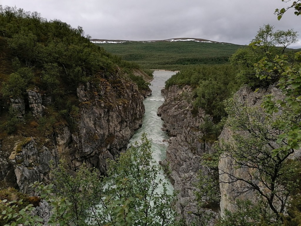
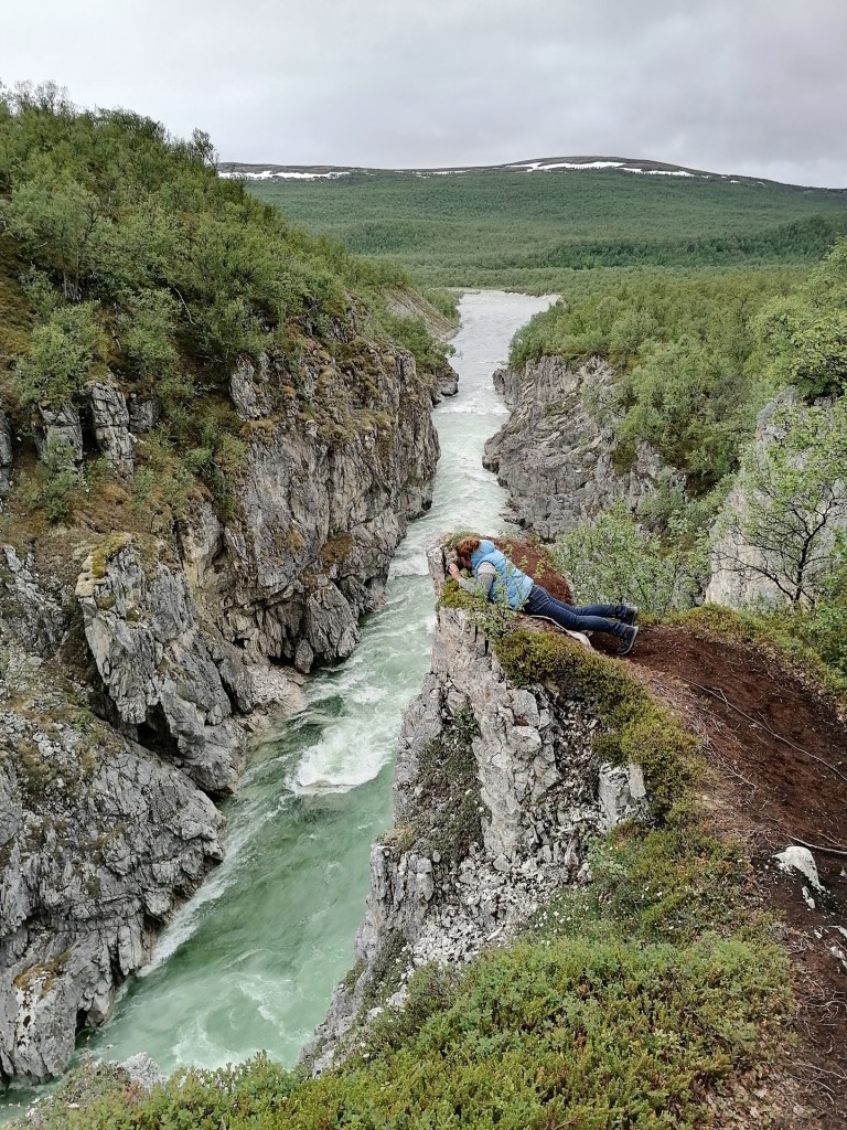
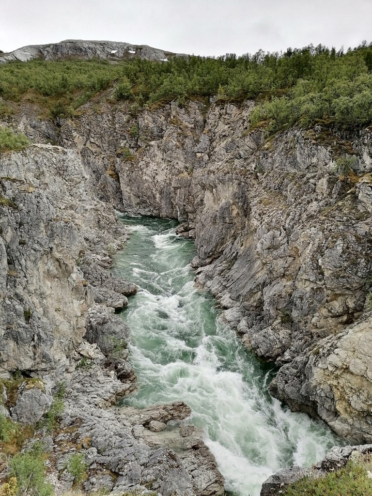
After Tana we were still driving quite a lot before we entered the Silfar Canyon and ofcourse we stopped to take pictures!

We found a nice place for sleeping in the car beside the mainroad and we slept well!
The route for Day 5 was like this:
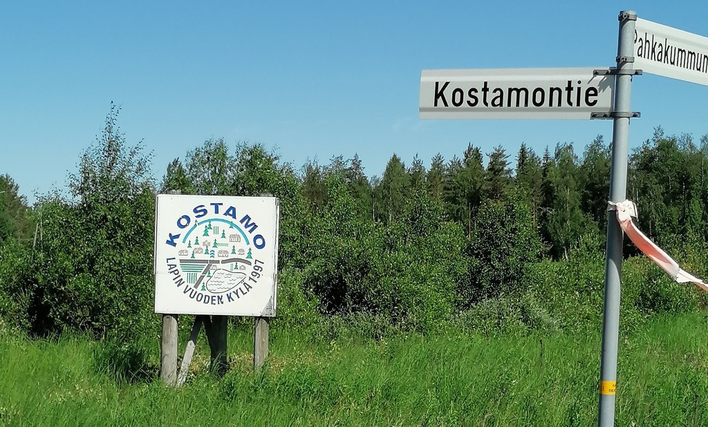
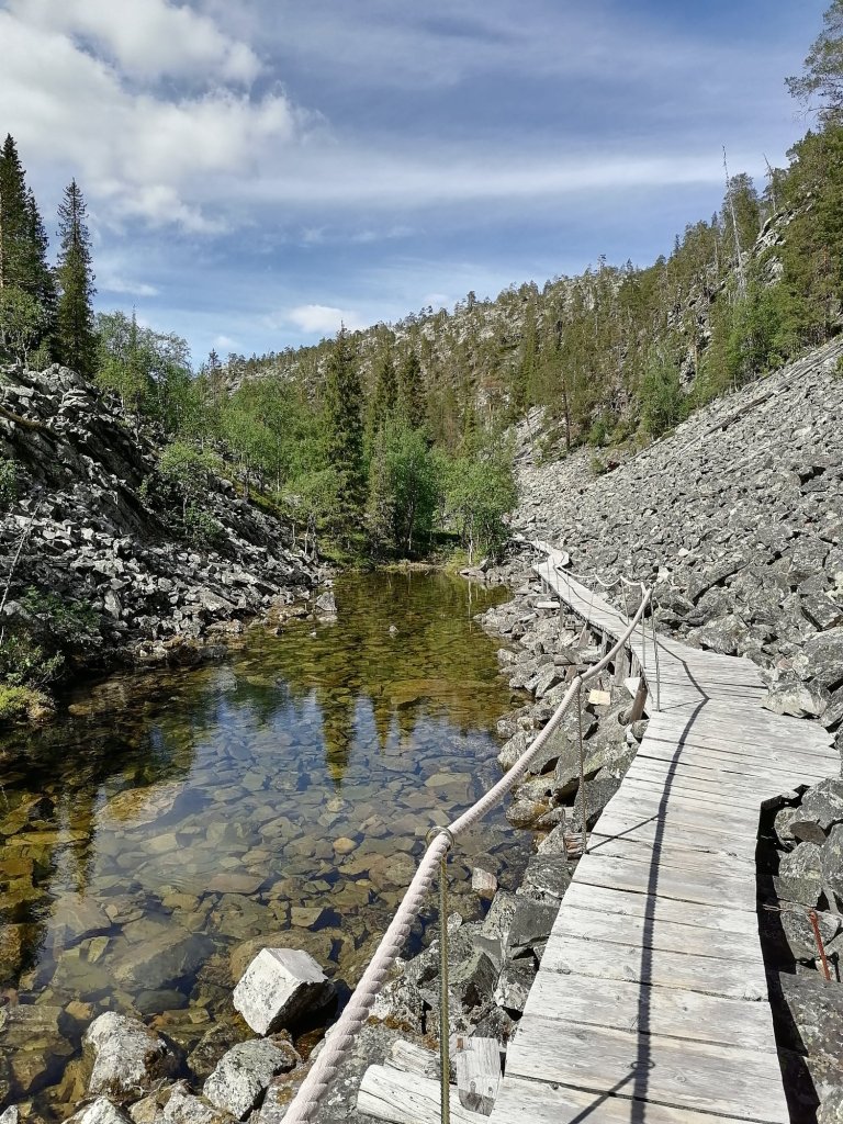
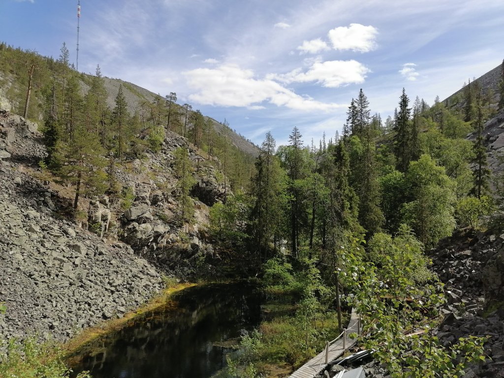
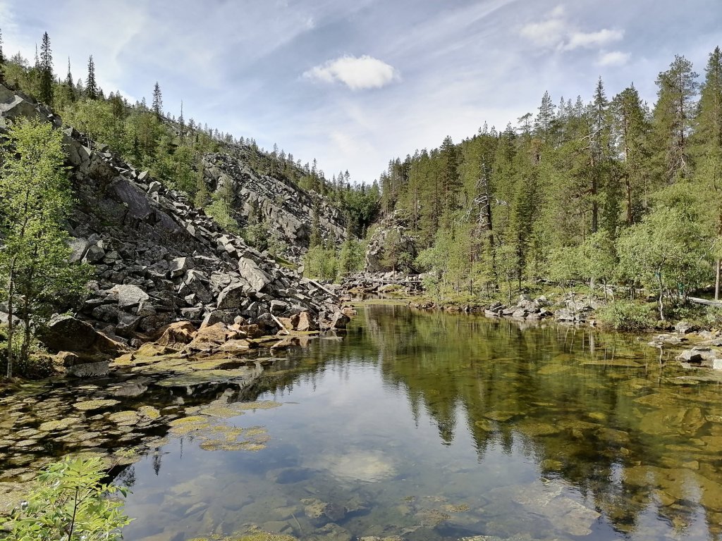
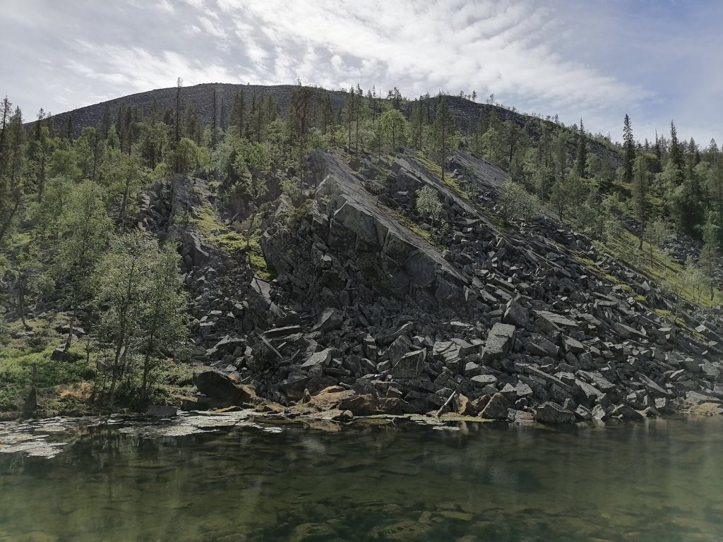
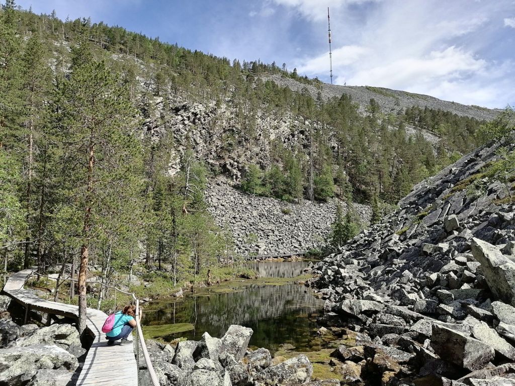
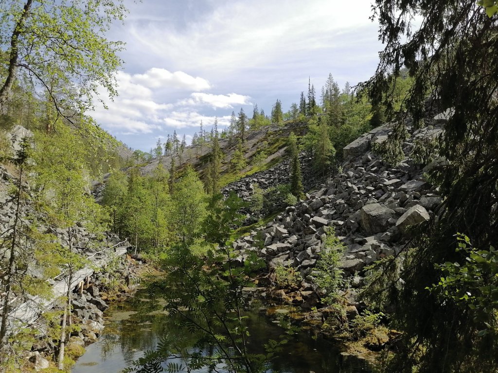
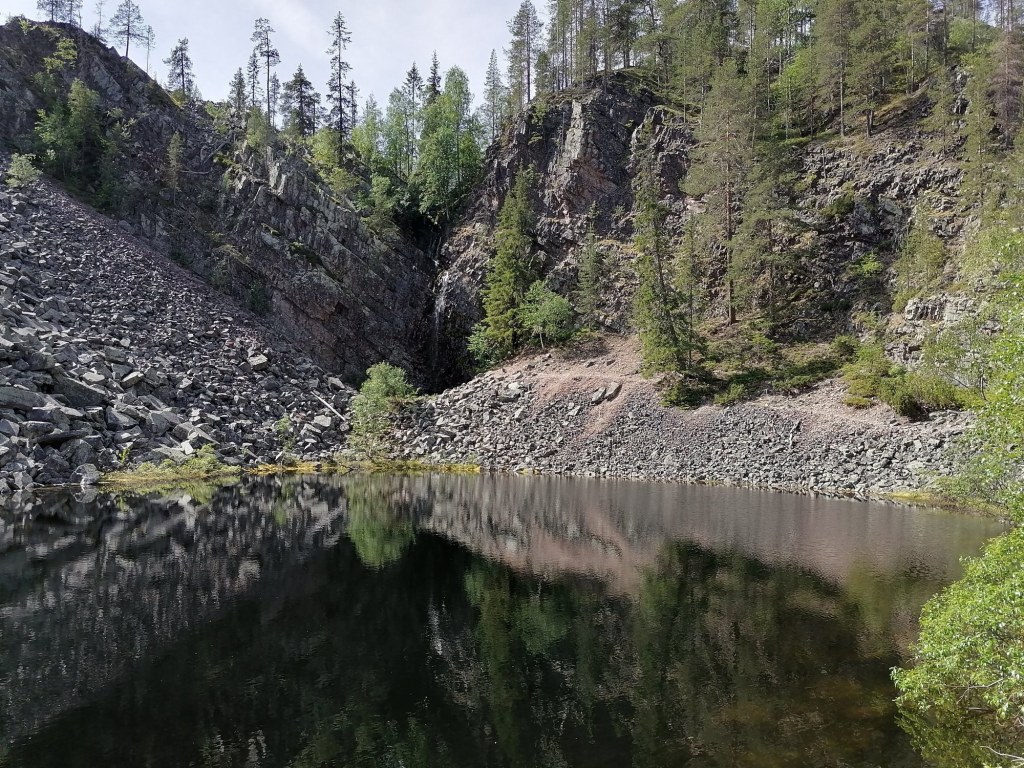
We woke up in Ruka and cleaned the appartment. Started driving to Pyhätunturi (The Holy mountain). There was one stop on the way in the northside of Kemijärvi, there is a small village called Kostamo. Why is this village interesting?? It just happens to be the same name than my Family name…
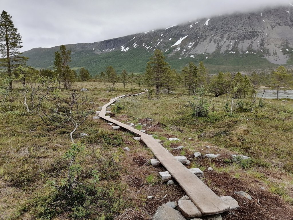
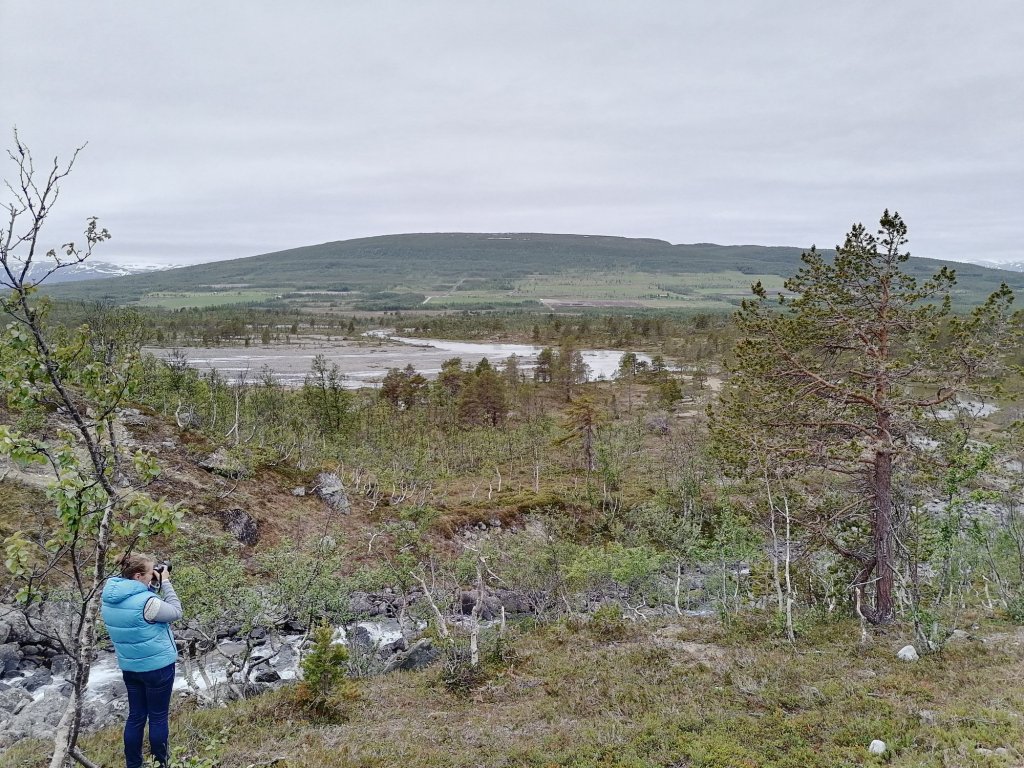
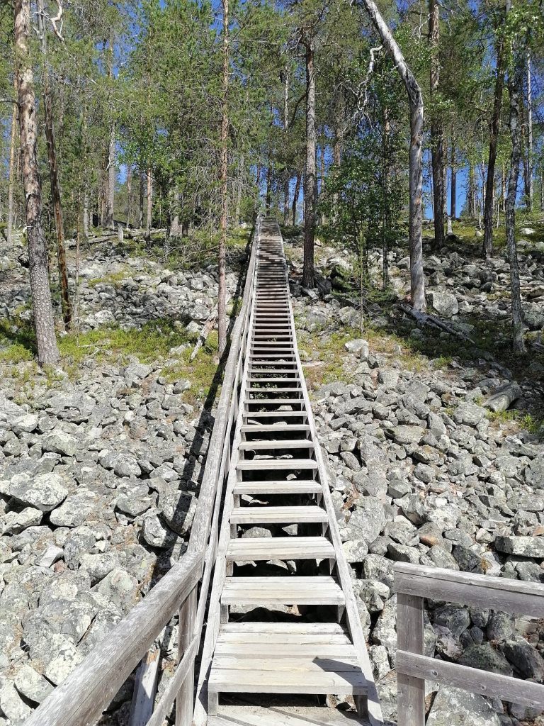
From Kemijärvi to Pyhätunturi it’s not too far anymore. The path to the Pyhäkasteen lampi & vesiputous (pond in the end of canyon and the waterfall) had been closed for the whole summer until this day. So we were about the first ones to see these amazing views!


After this very nice hike we continued driving north. We were shopping first time in Sodankylä and then again in Inari. The second visit to shop was because we realized that we will be in Norway next day and there everything is much more expensive!
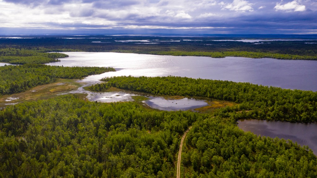
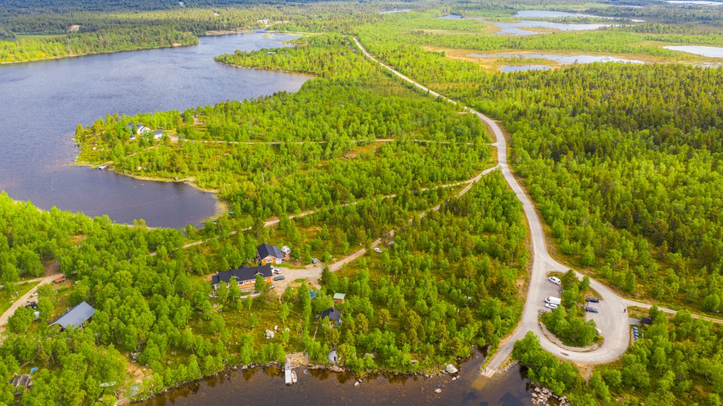
We made a short stop in the top of Saariselkä and beside the Lake Inari.
We also found the place for sleep beside the Lake Inari.
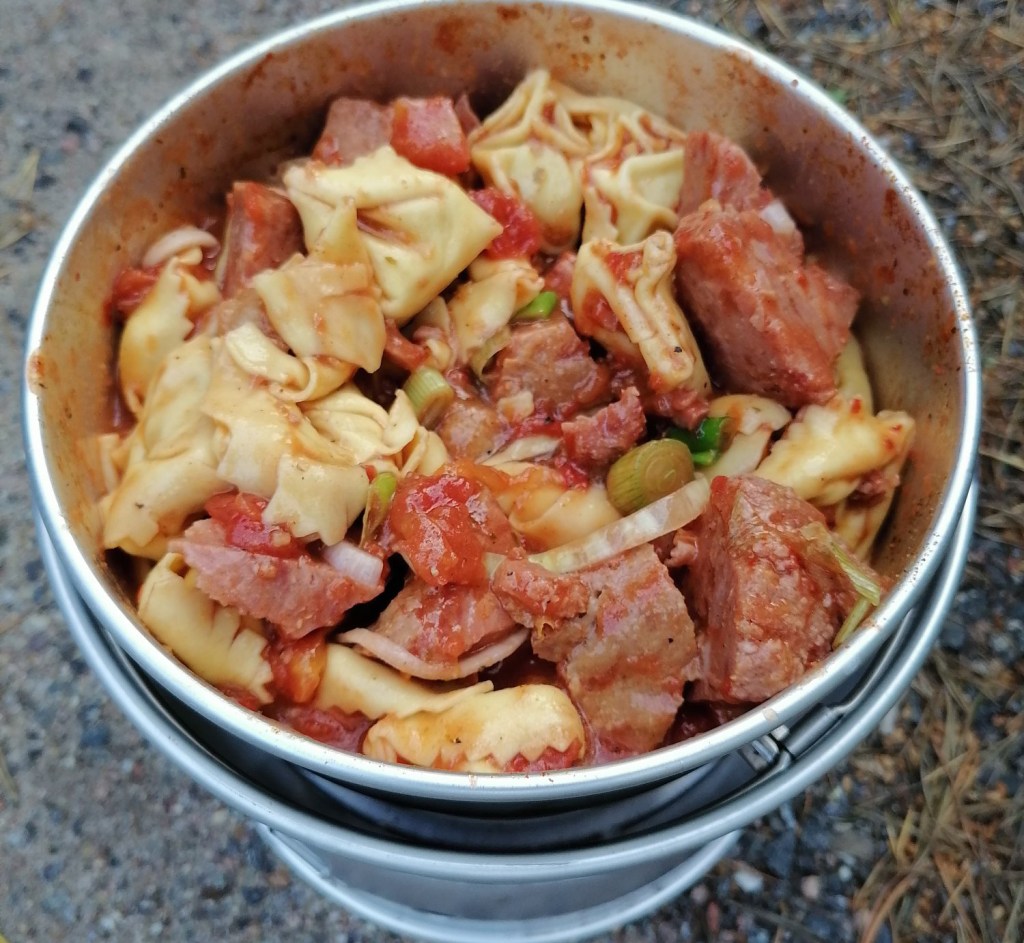
In the evening we were making food with our Trangia cooking system. The taste of food was terrible!
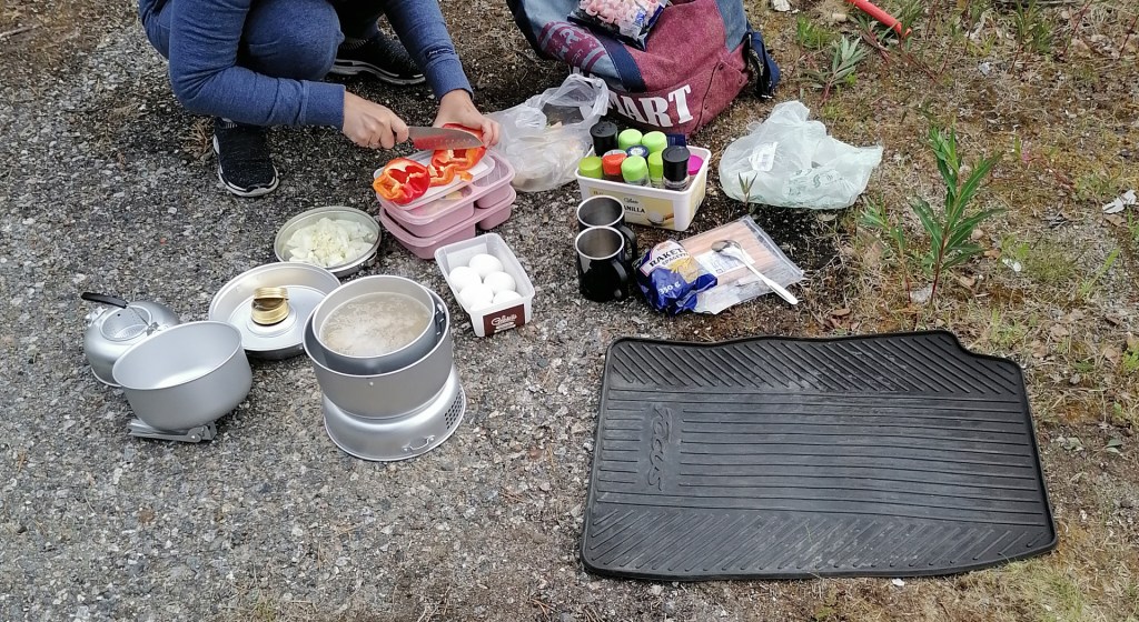
We realized that there was some taste of the fuel that we were using to make the fire in the cooking system. We put the question to Facebook to ask from other users did they have the same? Few days later we found out the reason.
The route for the day 4 was like this:
