Tag: Lapland

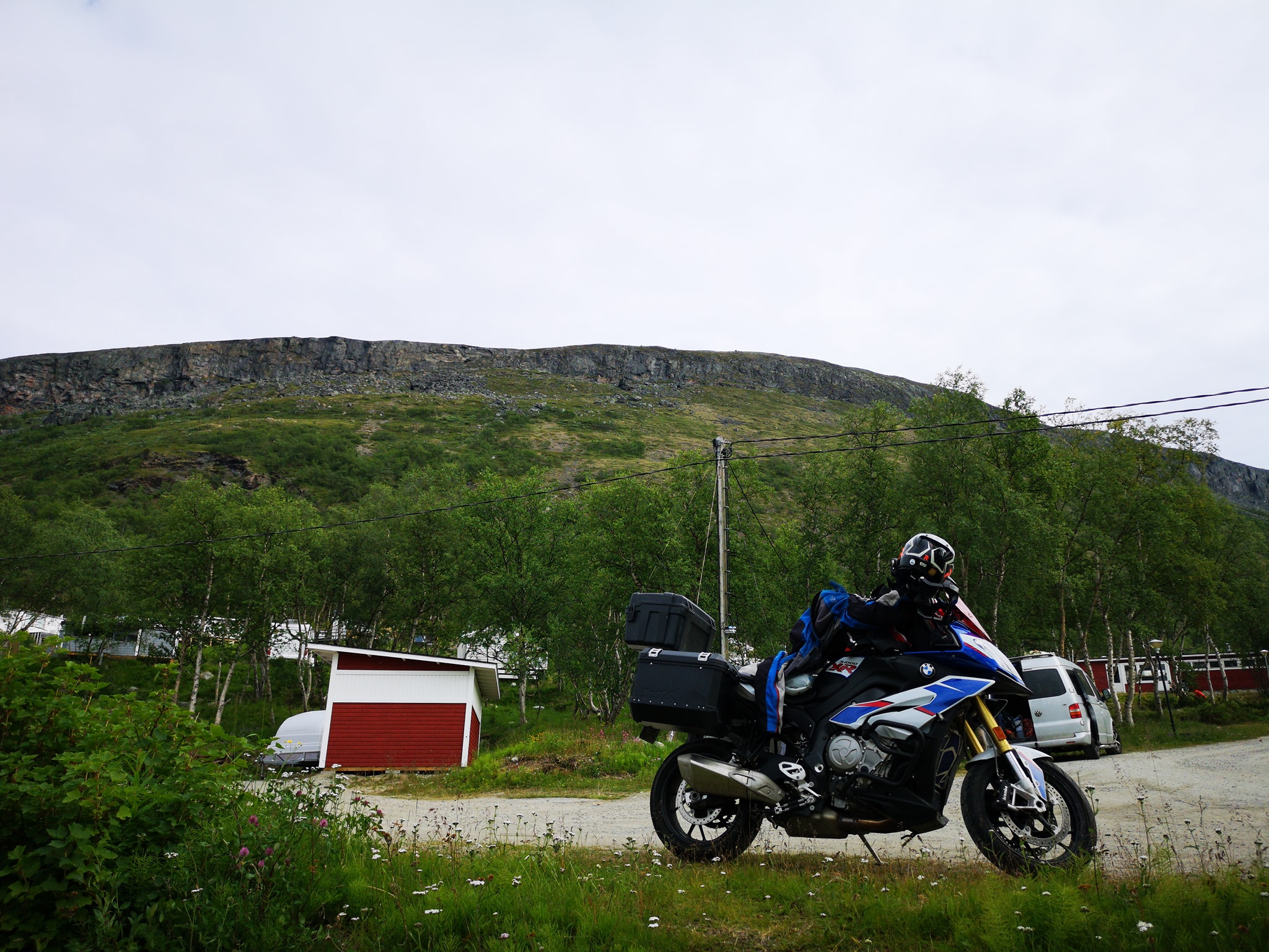
  • After a great night sleep in Inari Uruniemi camping (30€ only!) I was more than ready to start exploring new possible section for TransEuroTrail Finland.

    First I had to ride the section 7 until it’s starting point which was still more than 100km away behind Pokka village. And it was paved road all the way there.

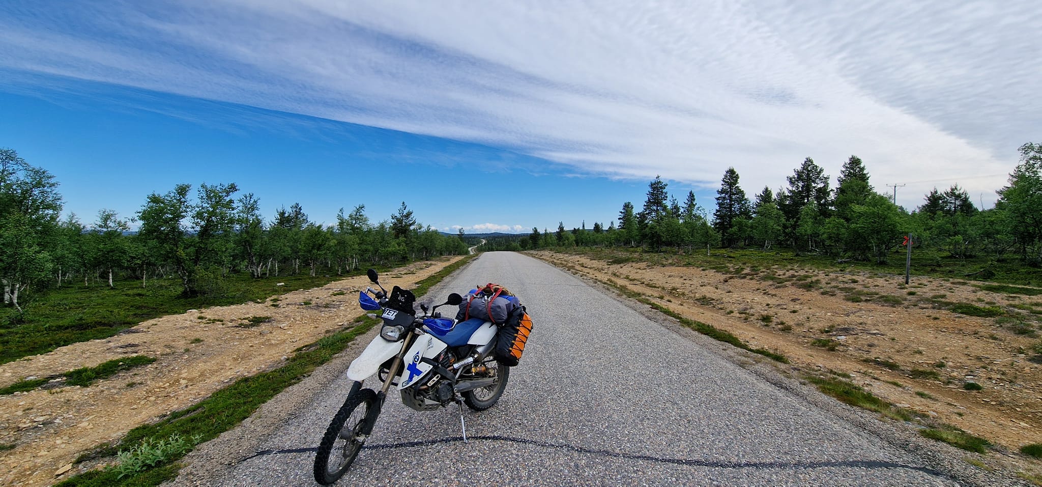
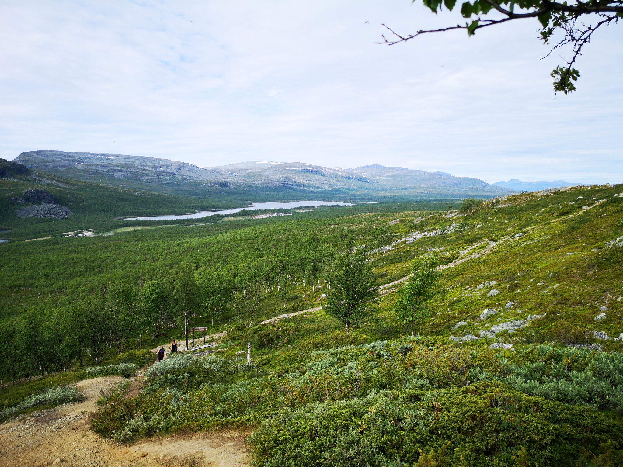
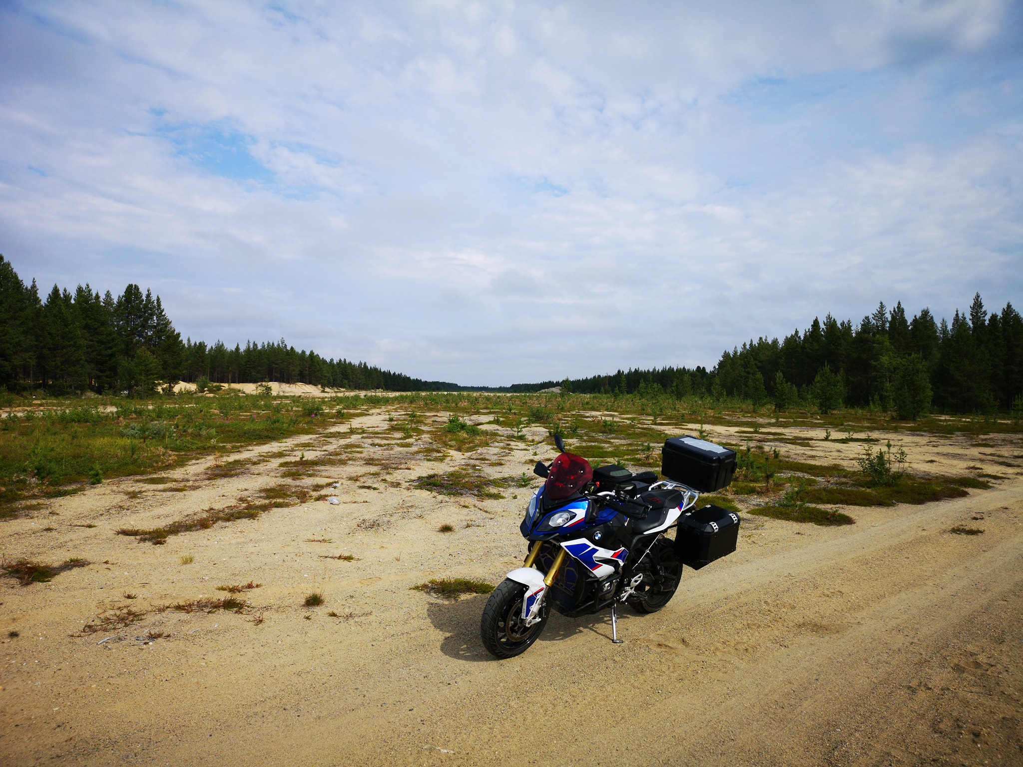
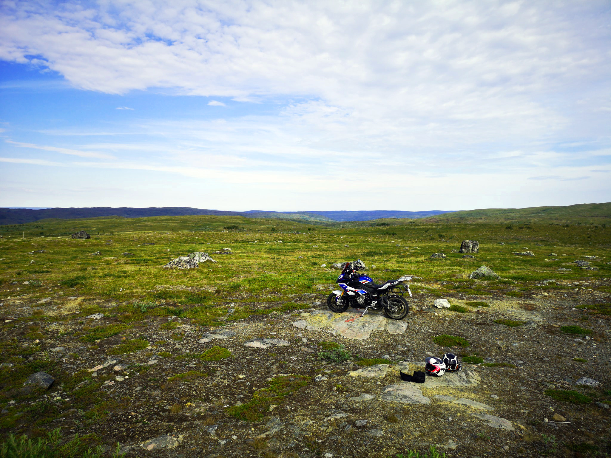
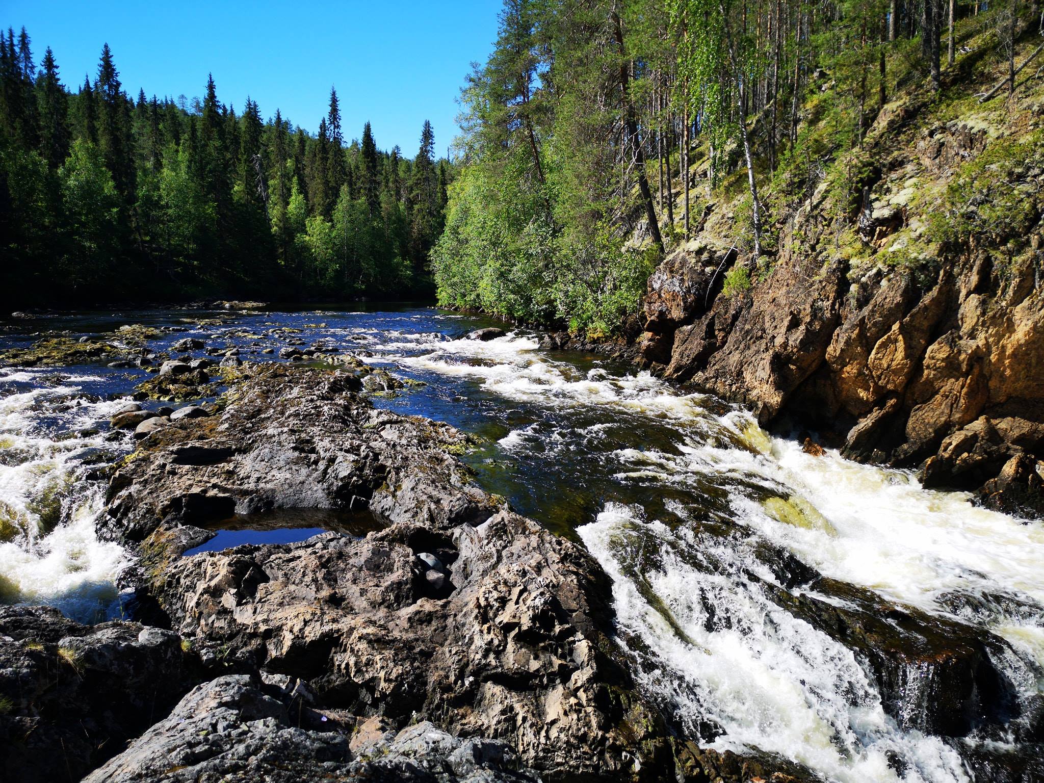
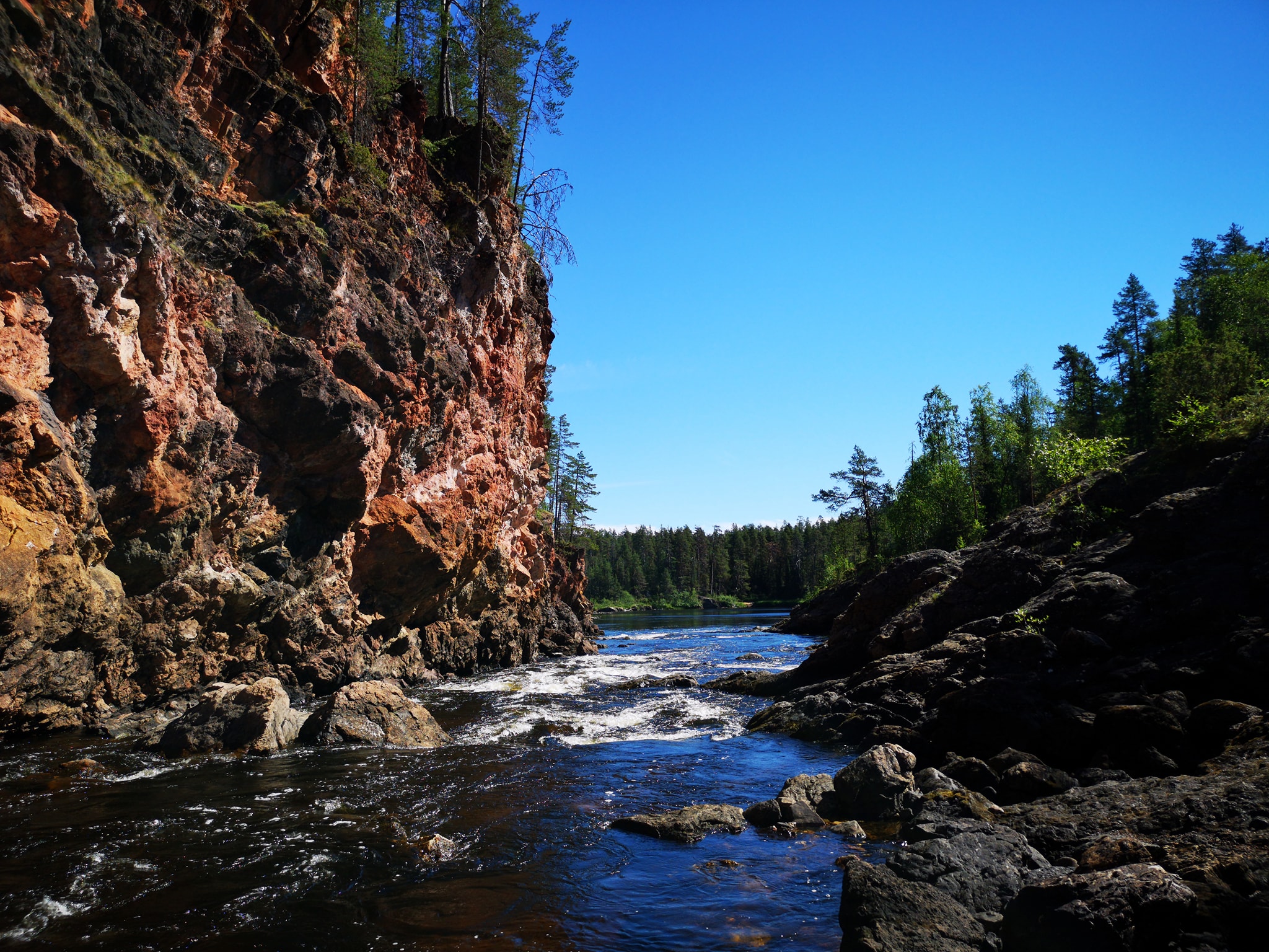
    Actually before the “starting point” of section 7 I turned away from the paved road and all the fun started!
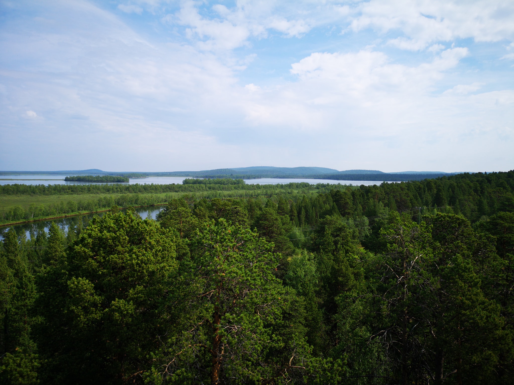
    I soon joined with section 1 and was riding 27km together with the “main section”! And that was maybe the best road/ track that I had on this day!
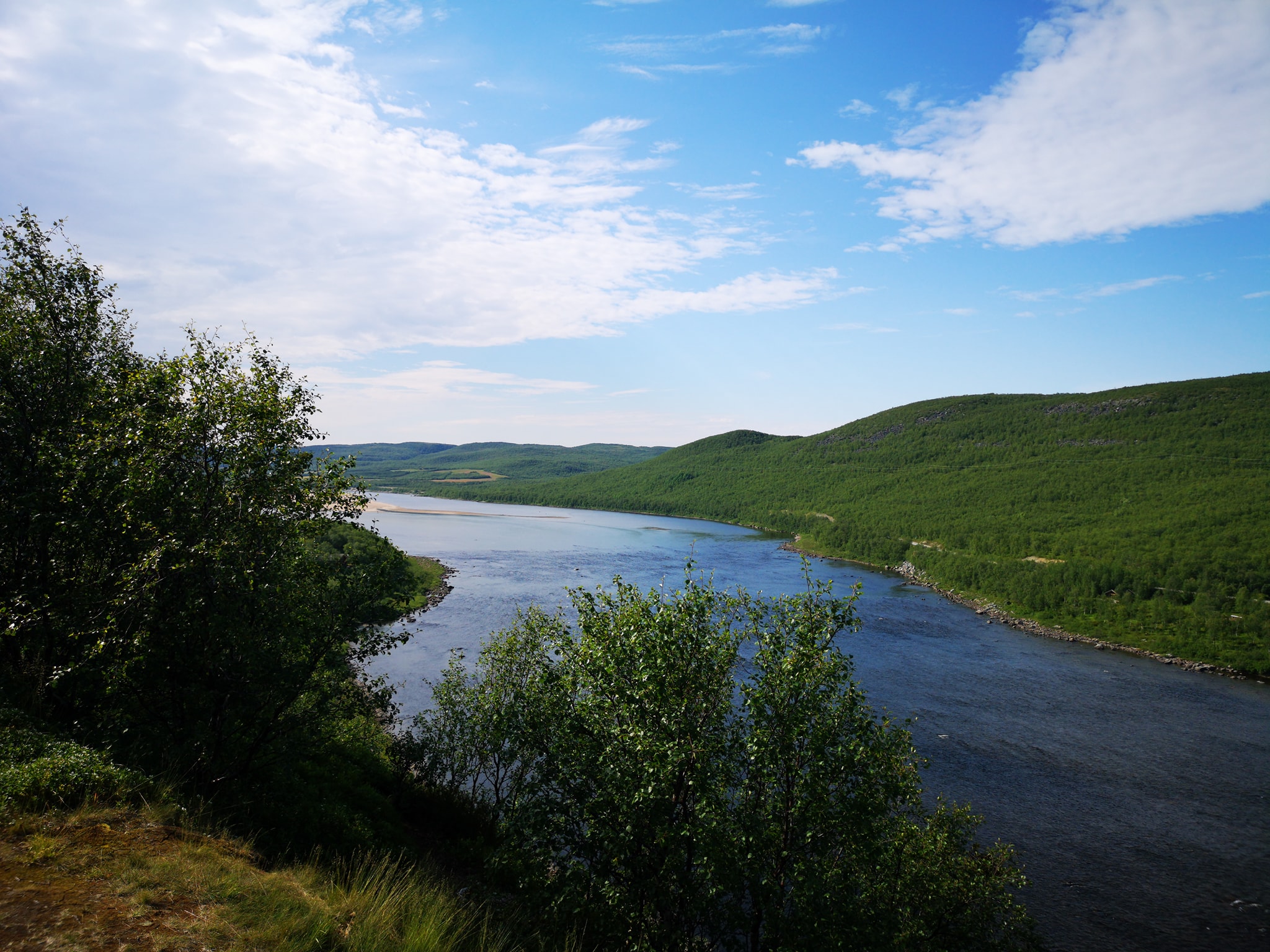
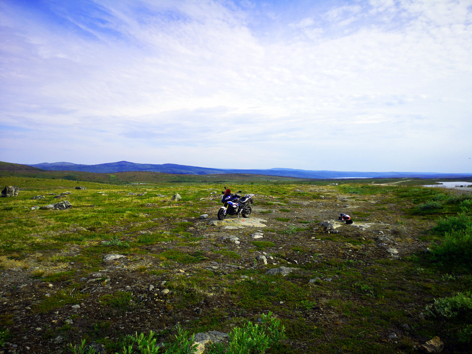
    Then I had route ahead of me that I knew nothing about. I planned the route to make it a section of it’s own but at some point I realised that it could be a continuation of an already existing section 7!
    So all this new route would be just a new beginning part of that section. And after the update the section 7 is now 770km long!
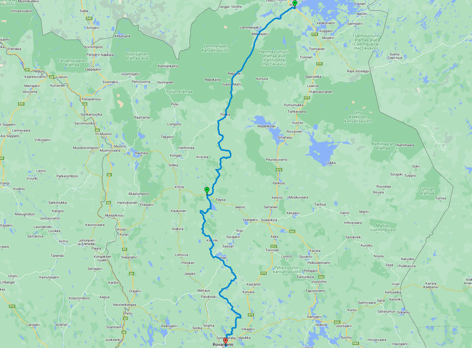
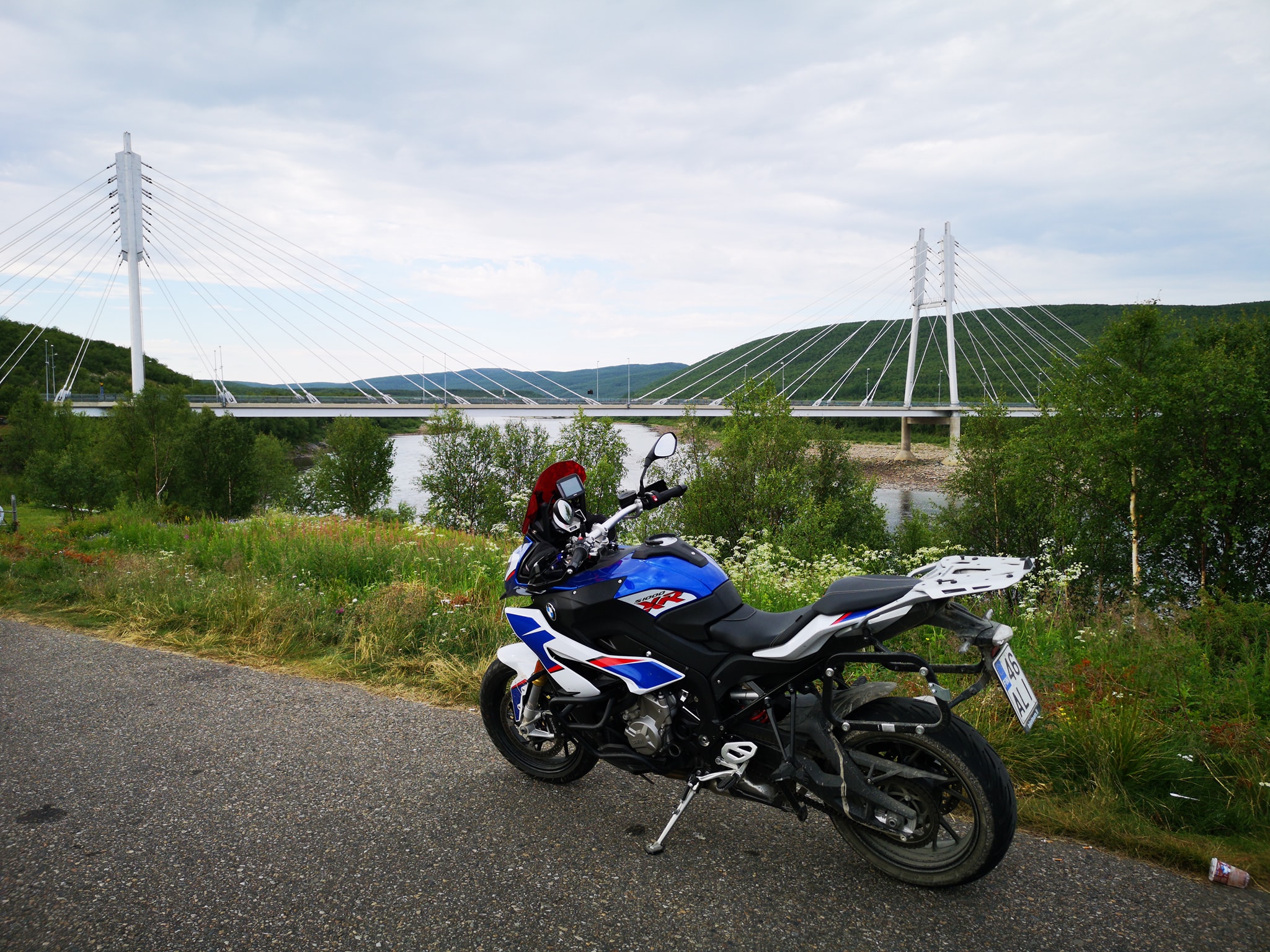
    So I was riding all the way down to Rovaniemi and it was almost 500km of riding!
    Here’s the video of that day:

    The route for the day 5 looks like this:

  • We had an idea to do some hiking today. But first we needed to ride to the place where we wanted to hike… So we started quite early, we rode only about 190 kilometers to reach out destionation in Kilpisjärvi. On this ride we only made short stop at Enontekiö/ Hetta to fill the tank and in Muotkatakka which is the highest point of the road in Finland.
    After midday we were already changing clothes and shoes and starting our Hike up to the Saana mountain. The motorcycle was parked behind Kilpisjärvi hotel, the elevation was about 500 meters there.
    777856_o
    And we had about 4 kilometers walk up to the mountain where the maximum elevation is 1029 meters. So at the same time when we were walking 4 kilometers to the top we also had to climb about 530 meters up!
    9957120_o
    After first kilometer the trees are gone. This was the easiest part. The path was very rocky and we had to use also hands few times when the hill was very steep.
    11360_o
    The landscape was simply incredible! It was difficult to concentrate to climbing when you have these amazing views all around you!
    4510336_o
    Can you see my bike?? It’s waiting there…
    79232_o
    After 2 hours and 10 minutes we were at the top! 1029 meters above sea level and 550 meters above the lake Kilpisjärvi!
    37472_o
    On our way down the weather was even better and more clear. We got some amazing pictures!
    0598400_o
    We had a nice apartment with sauna to spend the night. This was maybe the most amazing day of our holiday trip!
    My wife made a video about this day:

    The route of the day was like this:

  • The morning started with the visit up to the “mountain” Kaunispää. We took few pictures there and continued to the next mountain (Urupää) and there we chose the “old road” which is called “The magnetic hill”. Long time ago it was difficult for bigger cars to climb up to the hill (especially in the winter) and somebody made up the story that there was strong magnet keeping them down!

    We checked The airport in Ivalo but we only met one reindeer:
    60448_o
    The road between Ivalo and Inari is very enjoyable ride but usually you will meet many rendeers here! We were lucky since we didn’t see any! We also stopped at “Karhunpesäkivi” which is a big boulder with kind of giant’s kettle inside the stone… And you can go there! There are few strange holes in the inside walls of the stone and this made it possible to make up many different stories about what happened and why…
    But it is known that there was a bear in winter hibernation many times long long time ago…
    3408_o
    These stairs lead you to the stone and the stone looks like this (PicBy Puppe100 – Oma teos, CC BY-SA 4.0, https://commons.wikimedia.org/w/index.php?curid=71268537) :
    1200px-Karhunpesäkivi_1
    Next time we stopped at the viewing tower of Toivoniemi. It is actually named as a bird watching tower but anyway there’s quite nice view from the tower to the Lapland nature around!
    56768_o
    78784_o
    The actual “Toivoniemi lintutorni” looks like this:
    9664_o
    This you can find near Kaamanen village and there’s also an old airport that was built by German soldiers… or actually their prisoners of war. So still after 70 years there’s nothing but “empty land” in the place where was supposed to be the speedlane:
    486720_o
    From Utsjoki we found our cabin to stay for the next night. We took the luggage away from the bike and continued “naked” to the north…
    There is one museumroad between Utsjoki and Nuorgam. It’s a gravelroad that climbs quite high above the river of Teno and you will have very nice views from there!
    12032_o
    30848_o
    Only few kilometers more north and we were here:
    153728_o
    And because the idea of this tour was to stay in Finland we turned around!!
    Very close there is the road called “Pulmankijärventie“. If you choose this road you will find amazing place without any trees and open landscape everywhere around you!
    57568_o
    rrem
    This might be the only place in Finland where you can find this kind of view!
    I also had to take a picture of my bike with this bridge (Sami Bridge between Finland and Norway):
    0336_o
    Plus some pictures with the Drone:
    DCIM100MEDIADJI_0047.JPG
    DCIM100MEDIADJI_0050.JPG
    And video:

    Our Cabin at Camping Lapinkylä was like this:
    90048_o
    Once again my wife made a video about this day:

    The route for the day 8 was like this:

  • We started the morning wit a short walk around the Ruka “city-area”. The streets were empty and weather was already very warm! There is a small pond just in the front of the hotels and skiing area.
    09184_o
    After breakfast we packed tha bike once again and started the ride from Ruka to Kiutaköngäs. Even this is not a long way there is still one very nice road (and rare in northern Finland) with low bending corners. This Juumantie is very nice ride in this area and I recommend to ride it even if you are not going to the rapids.
    To see the rapids it is maybe wiser to change your riding gear to hiking gear. There is about 1km walk to the rapids… but after you find them you will probably walk quite a lot more to see everything and you might even climb or at least take the more difficult paths!
    32704_o
    7744_o
    1798656_o
    It’s vey rare that the water level is so low here! Normally you wouldn’t see any rocks in the middle of the rapids.
    It took maybe about 2 hours for us to check the Kiutaköngäs -rapids.
    We continued riding north… and went over the Polar Circle! (In Hautajärvi) Here they don’t make so big number about the Polar Circle even it is quite remarkable “line in the map” when you think about the nights and the sun (summer or winter).
    3952_o
    In Salla -village we stopped for a little while to check the nice church (built in 1950).
    831360_o
    And from further north we found our place to stay… We chose the “lappish style” hut from Loma Joosula. We really enjoyed the place!
    65888_o
    We walked to a hotel nearby to enjoy the “real Lappish food” -The reindeer stew.
    And in the evening when I was making a flight with my drone the host of this place recommended that he would like to have photos and video from this area and his place and if I would do it I could have my stay for free! And ofcourse I said “Yes!”
    Here are few of the photos I took from this area: Google Album
    My wife made a video about this day:

    The route for the day 6 was like this: