I’ve been bicycling quite a long time with my Montana MTB… I would say it was almost 30 years! Now I started to feel that I want a new one and from the small local shop I found this Madison Grizzly 29.
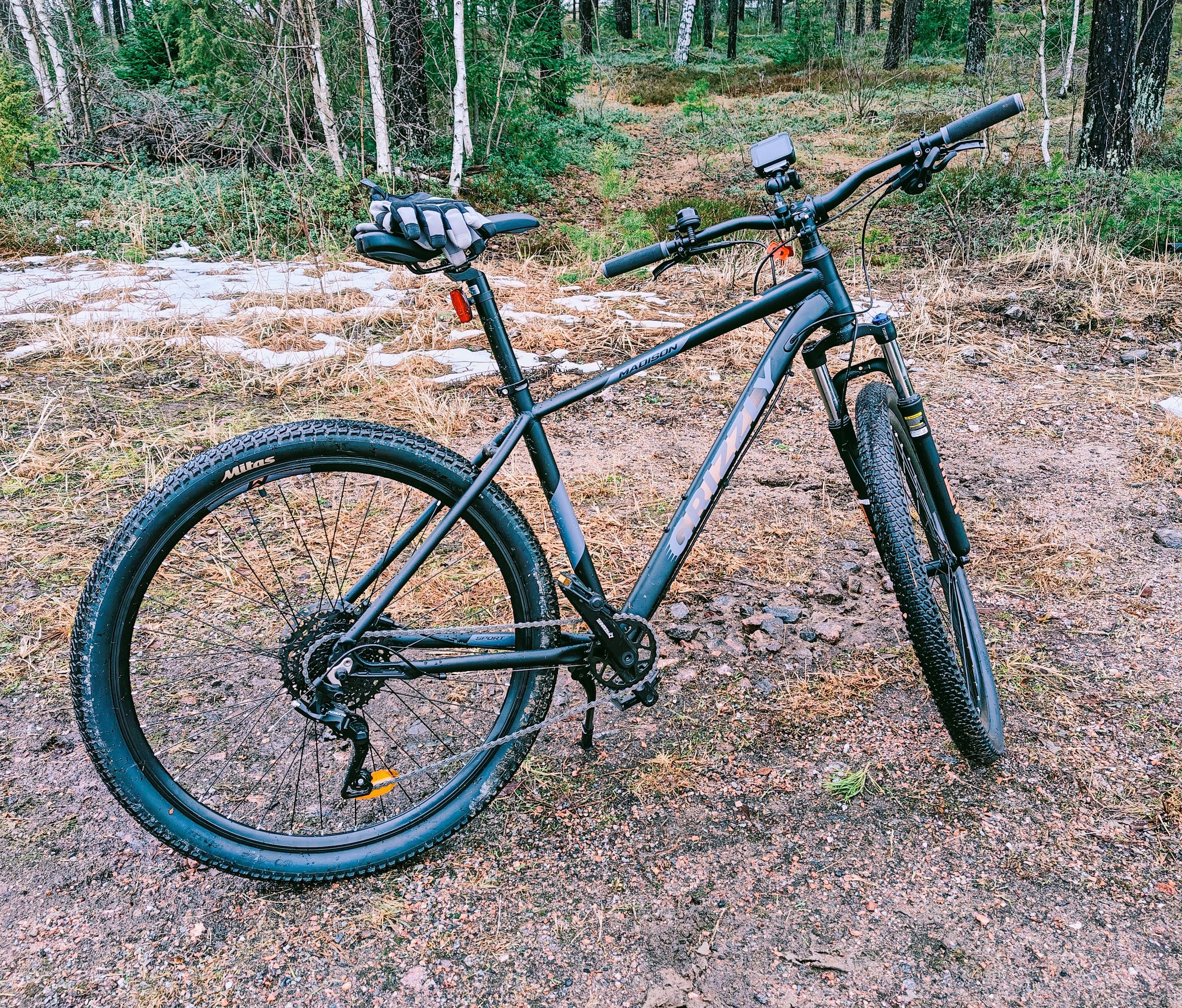
I’ve now done some bicycling with it 4 times and I’m very happy with it!
Here’s a video of my first ride:
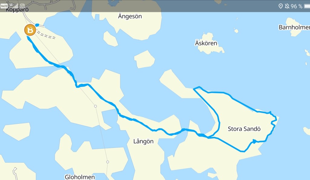
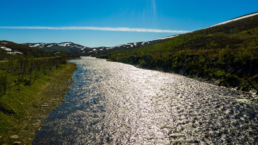
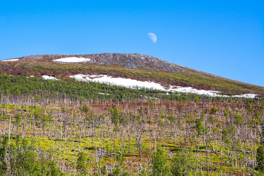
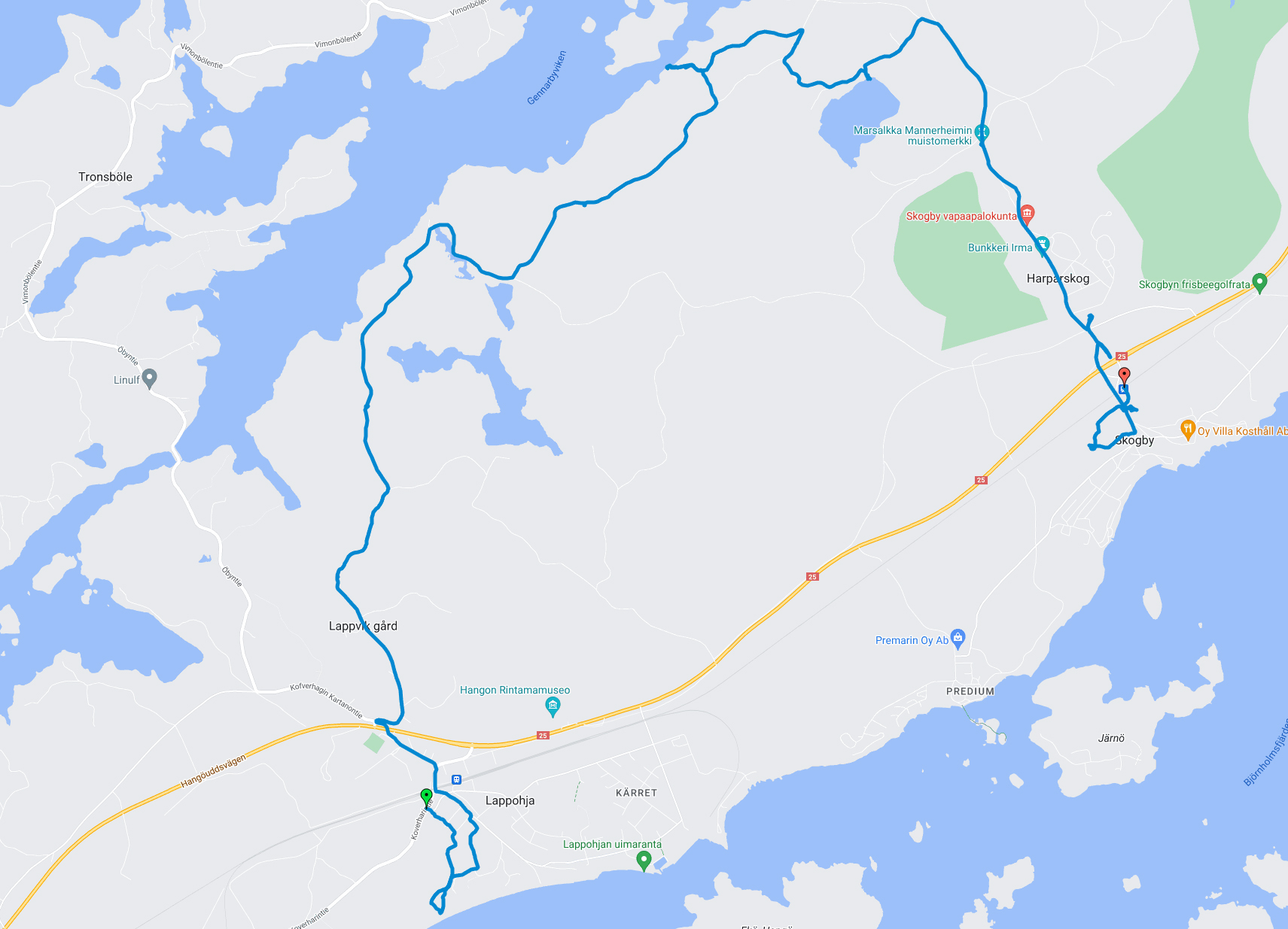
And my 4th time I took already the train towards Hanko… but I didn’t go to the final station!
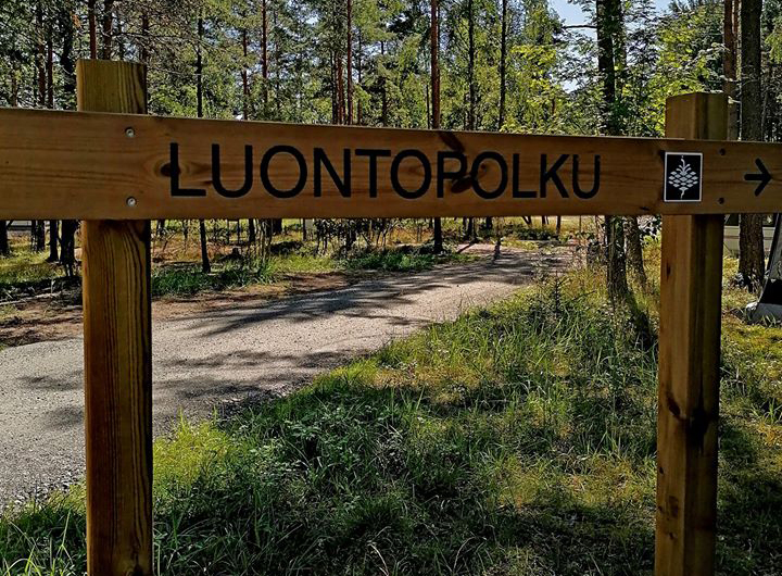
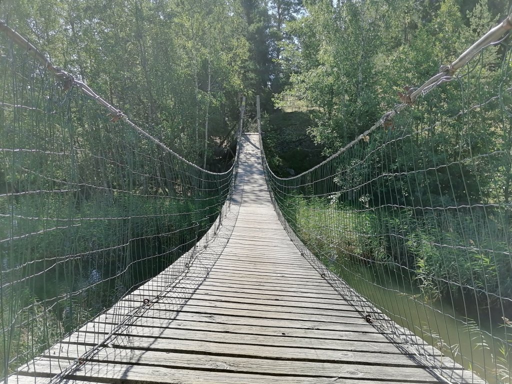
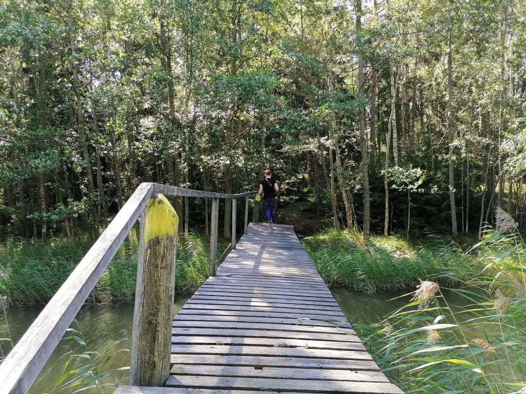
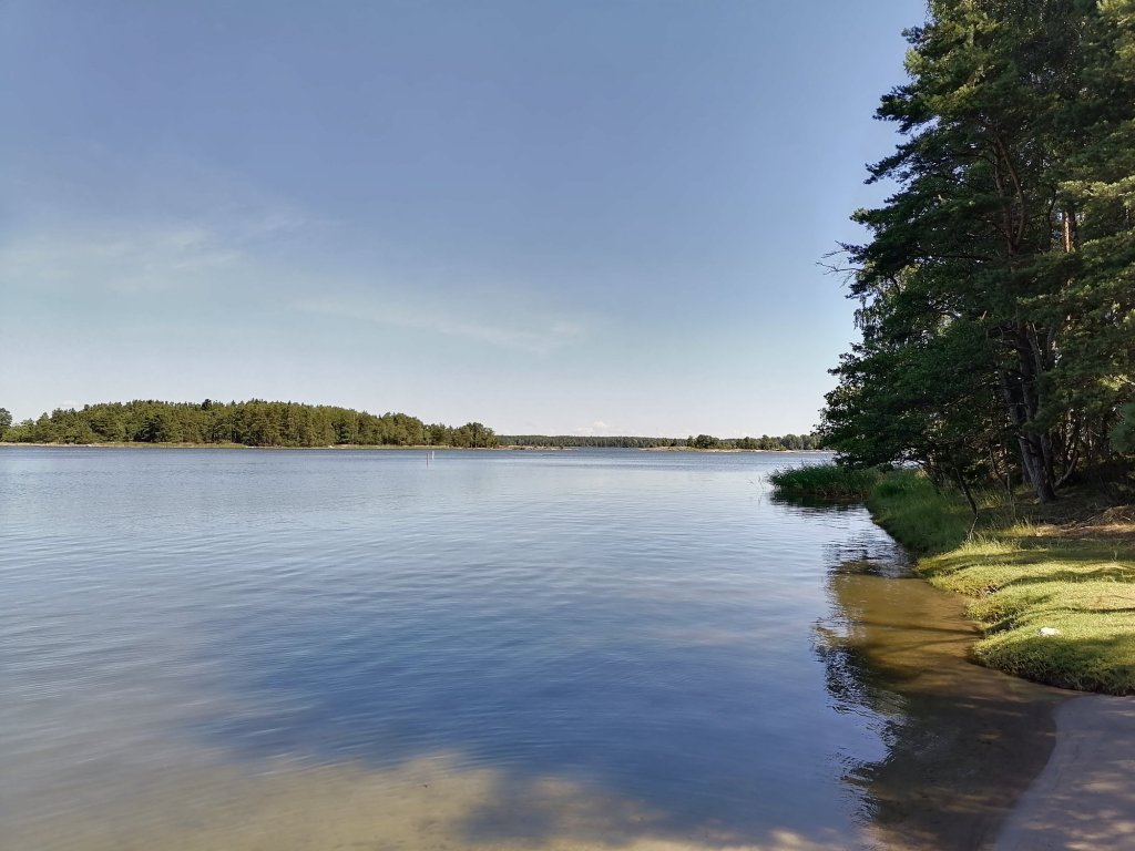
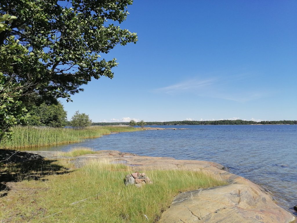
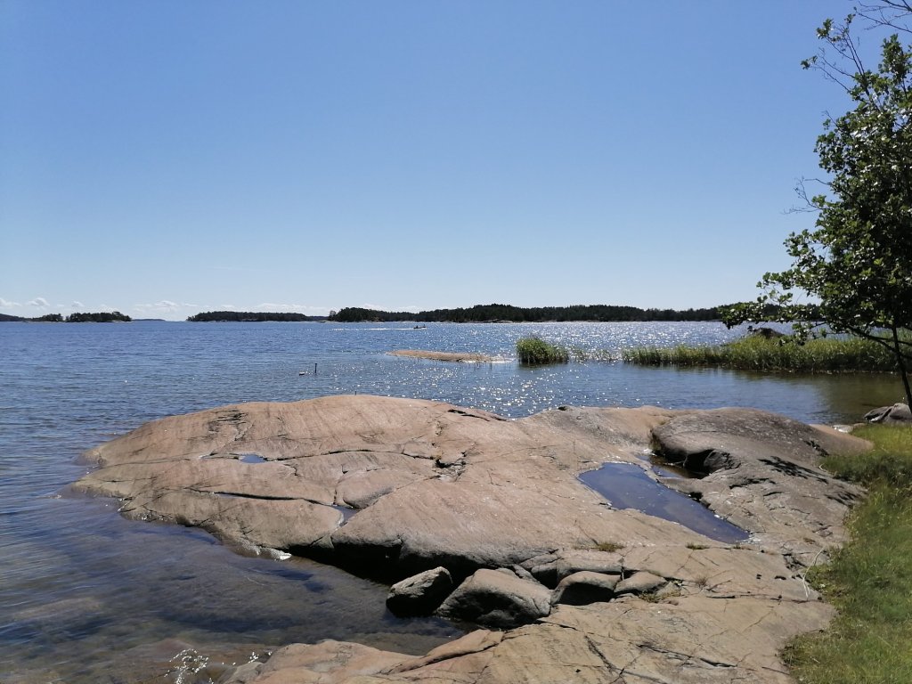
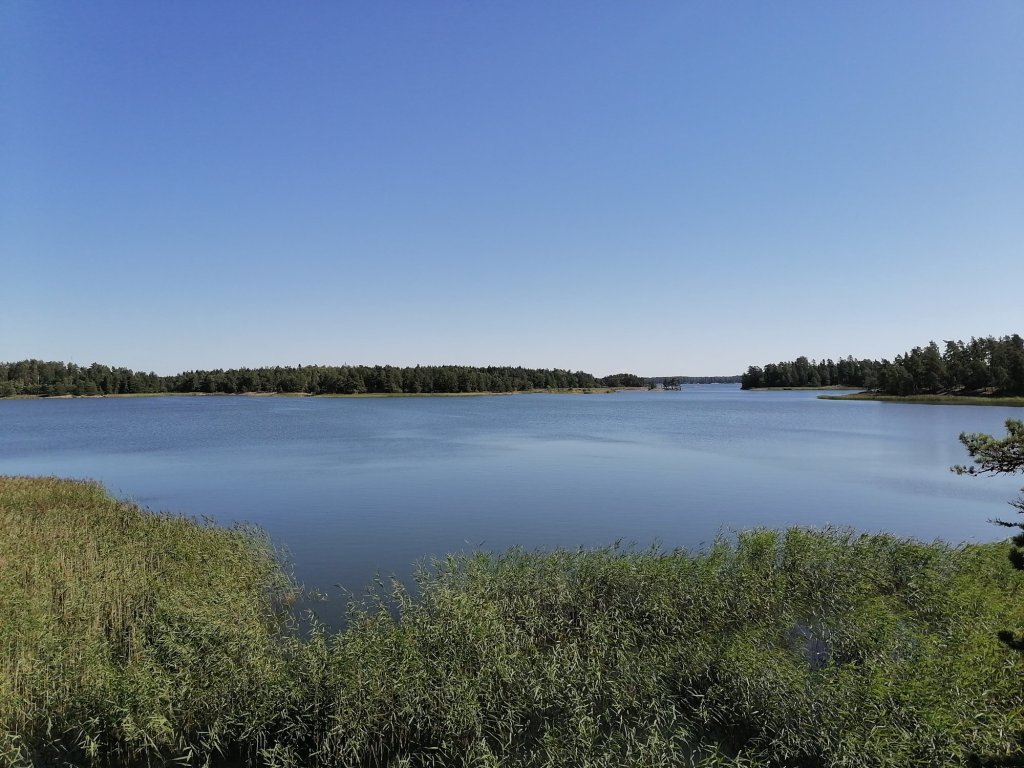
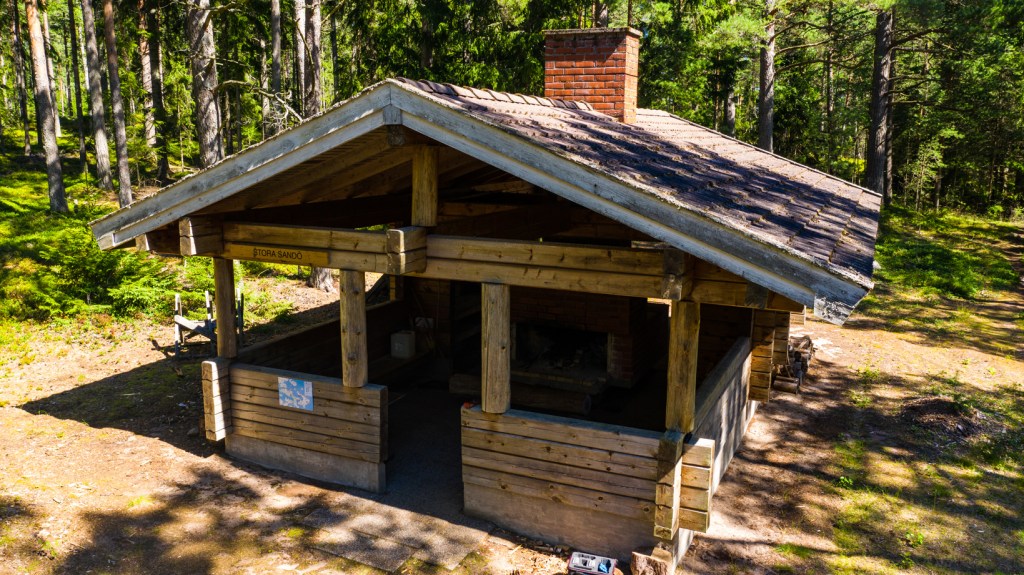
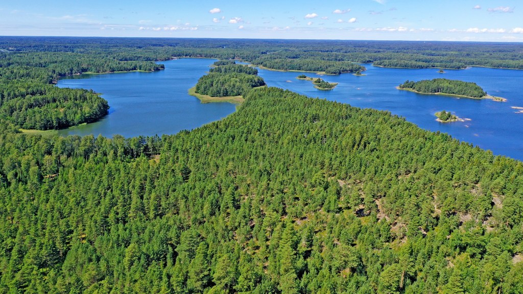
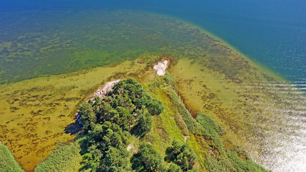
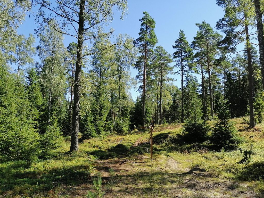
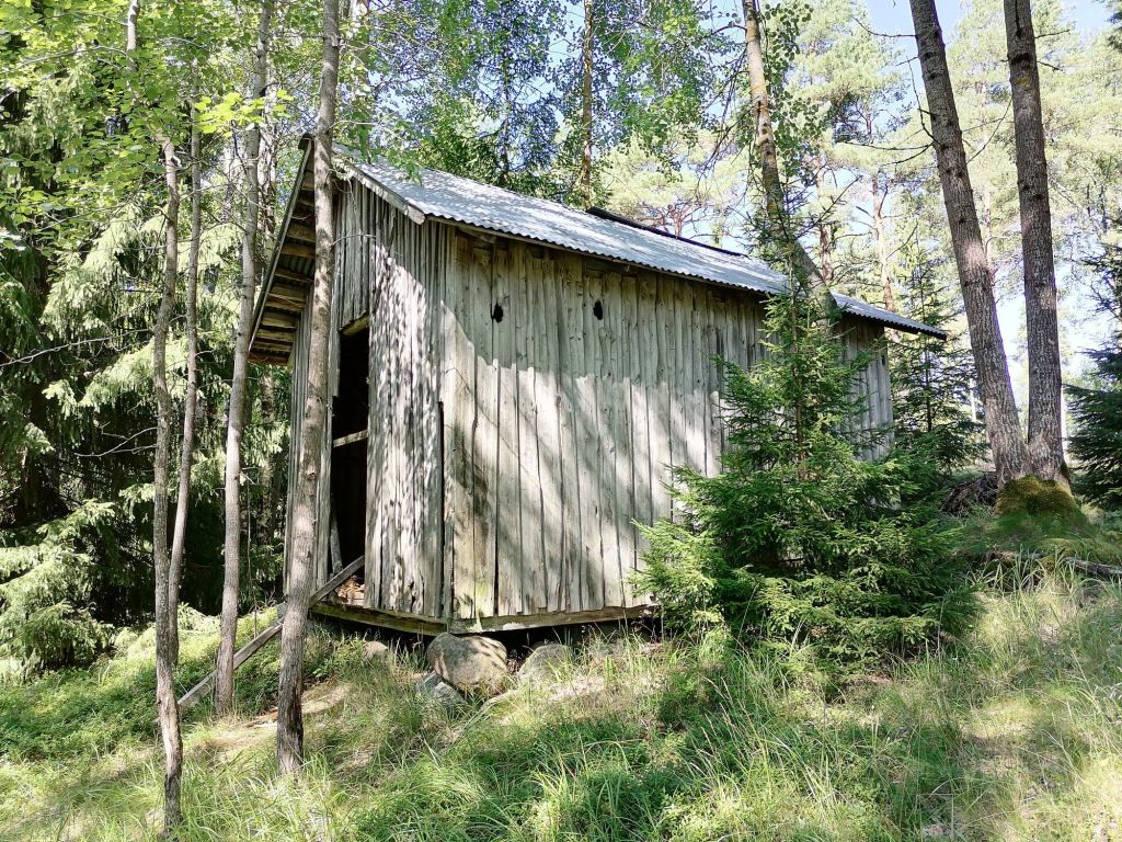
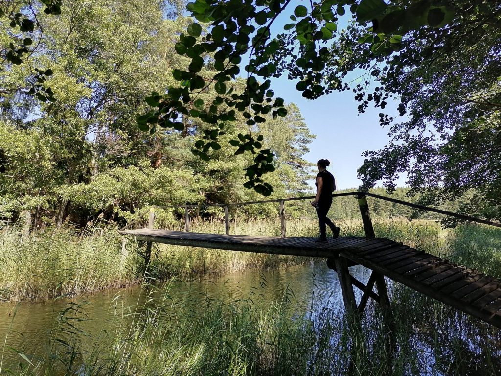
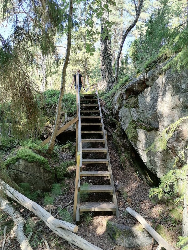
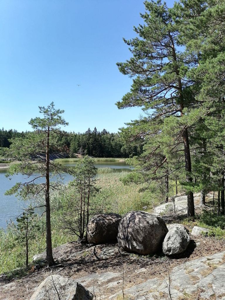
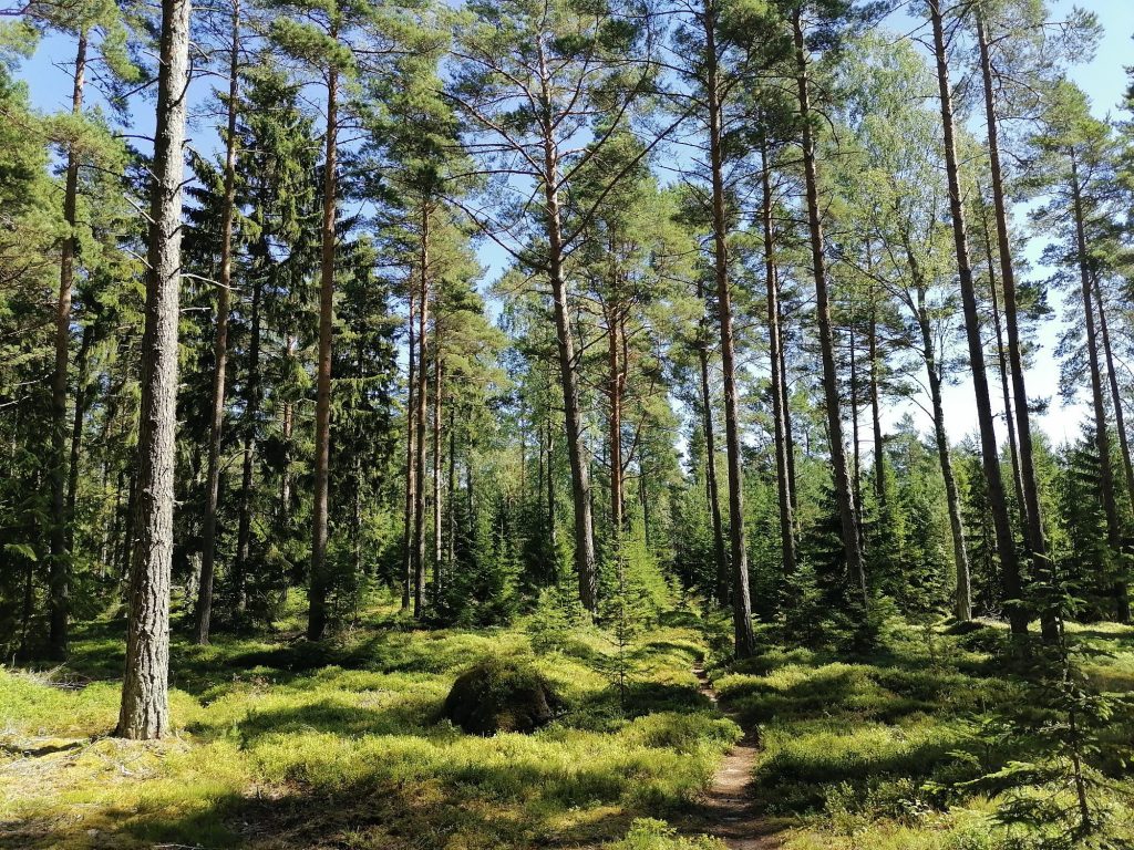
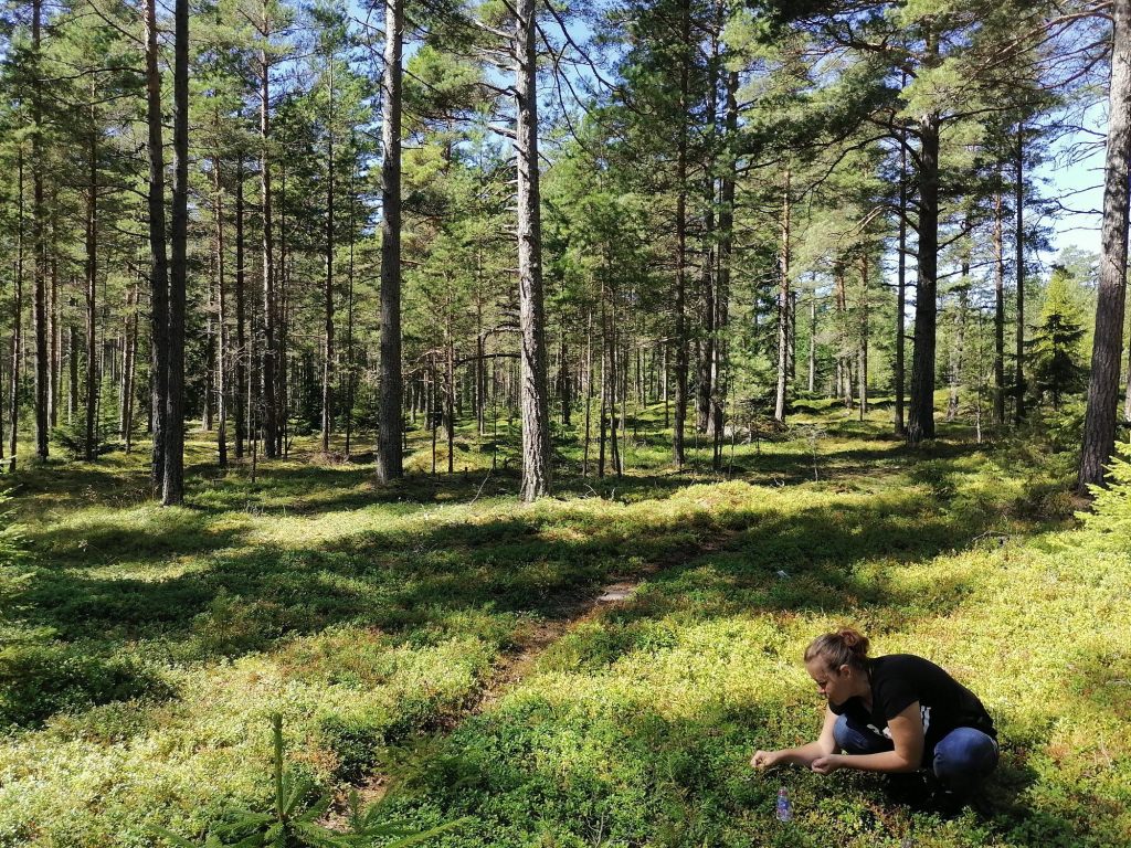
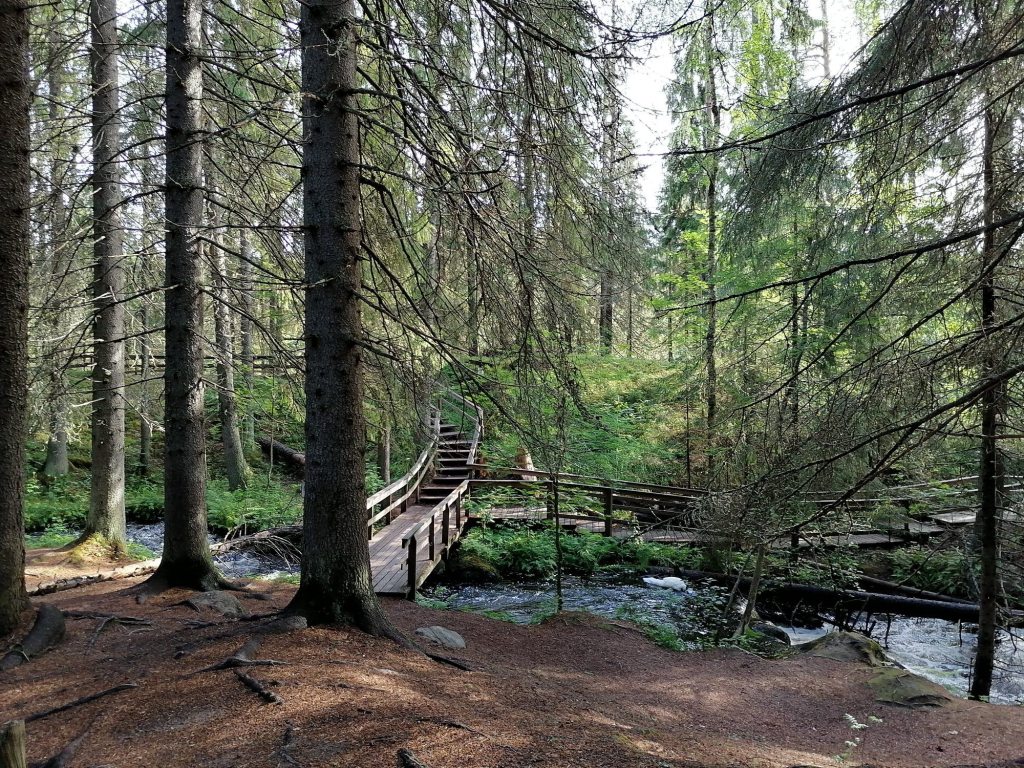
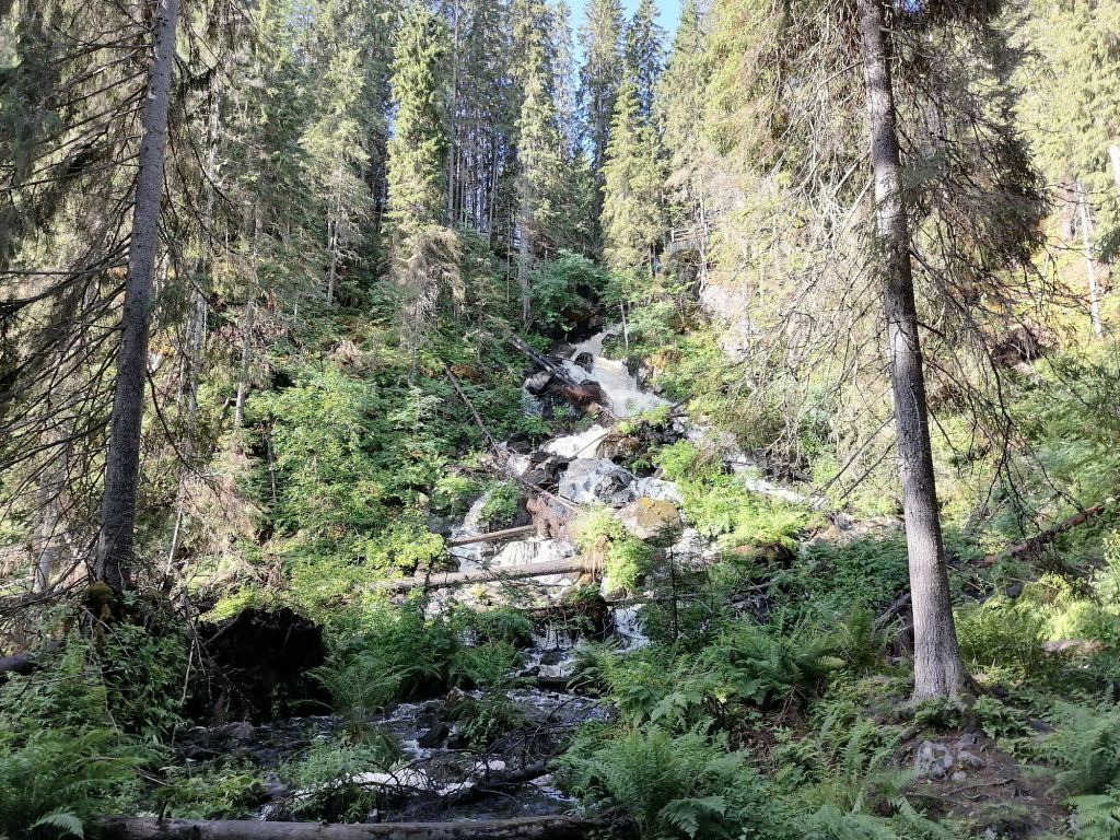
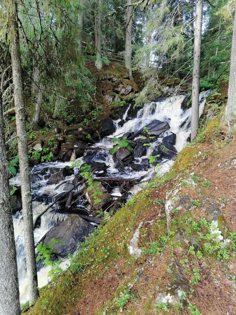
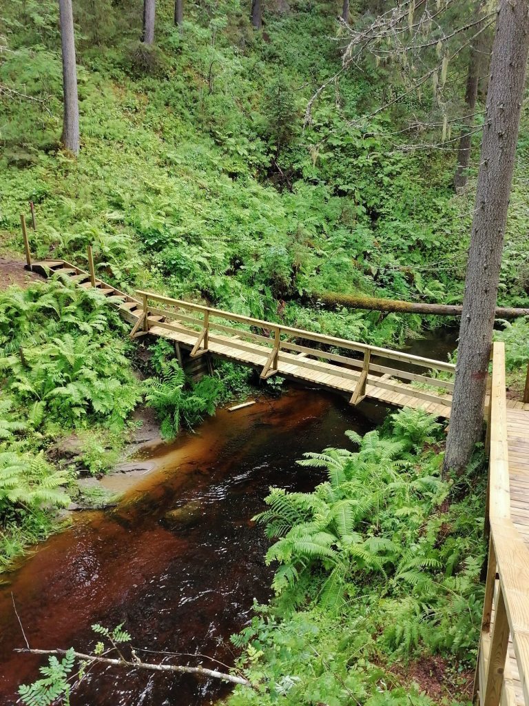
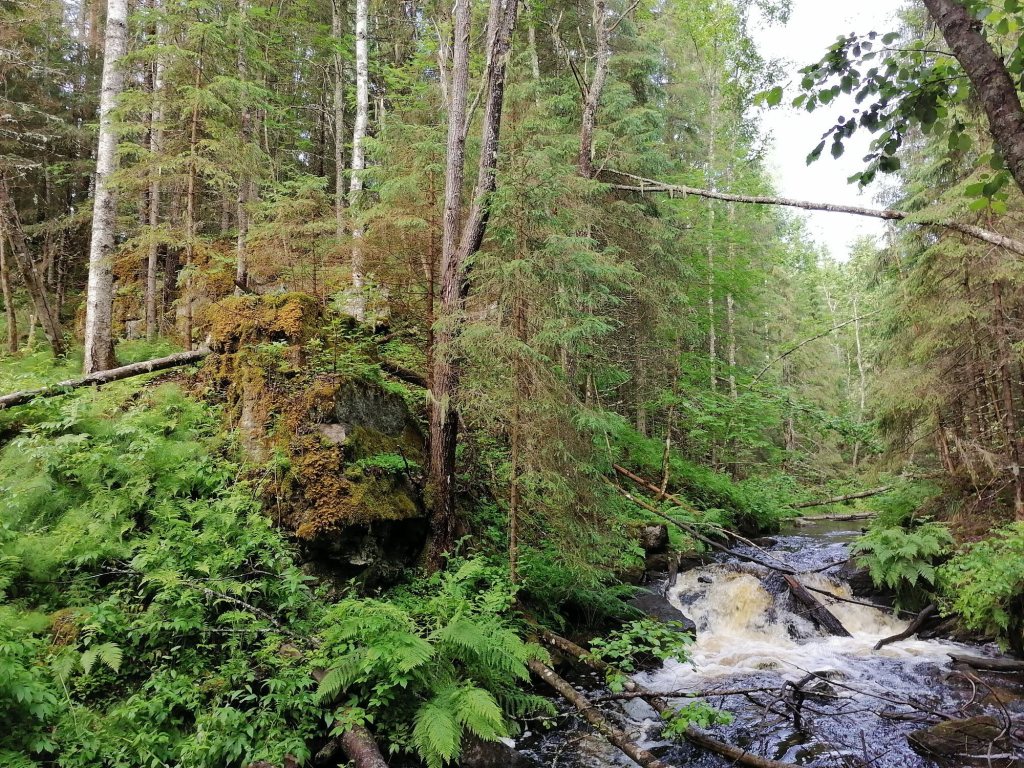
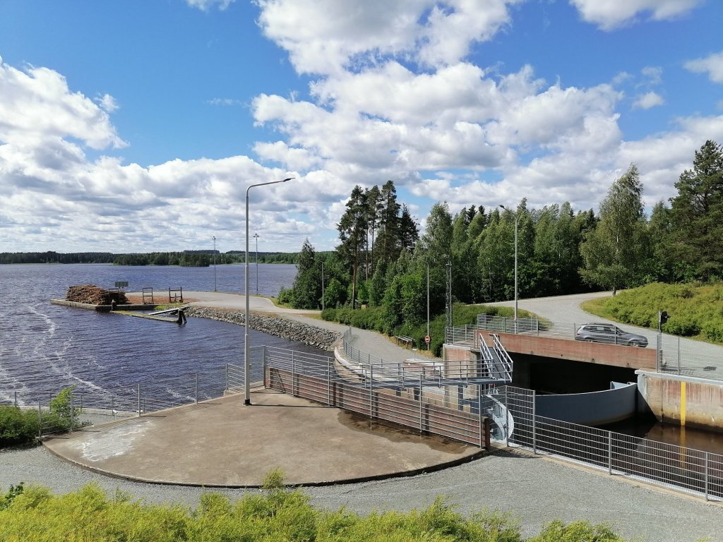
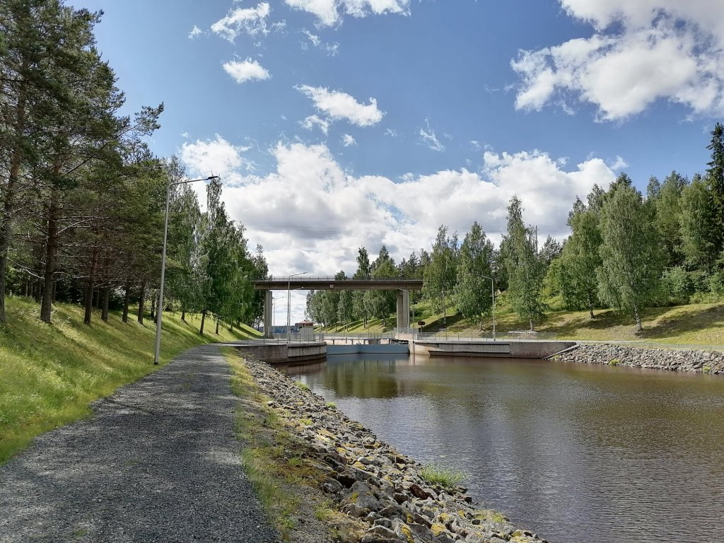
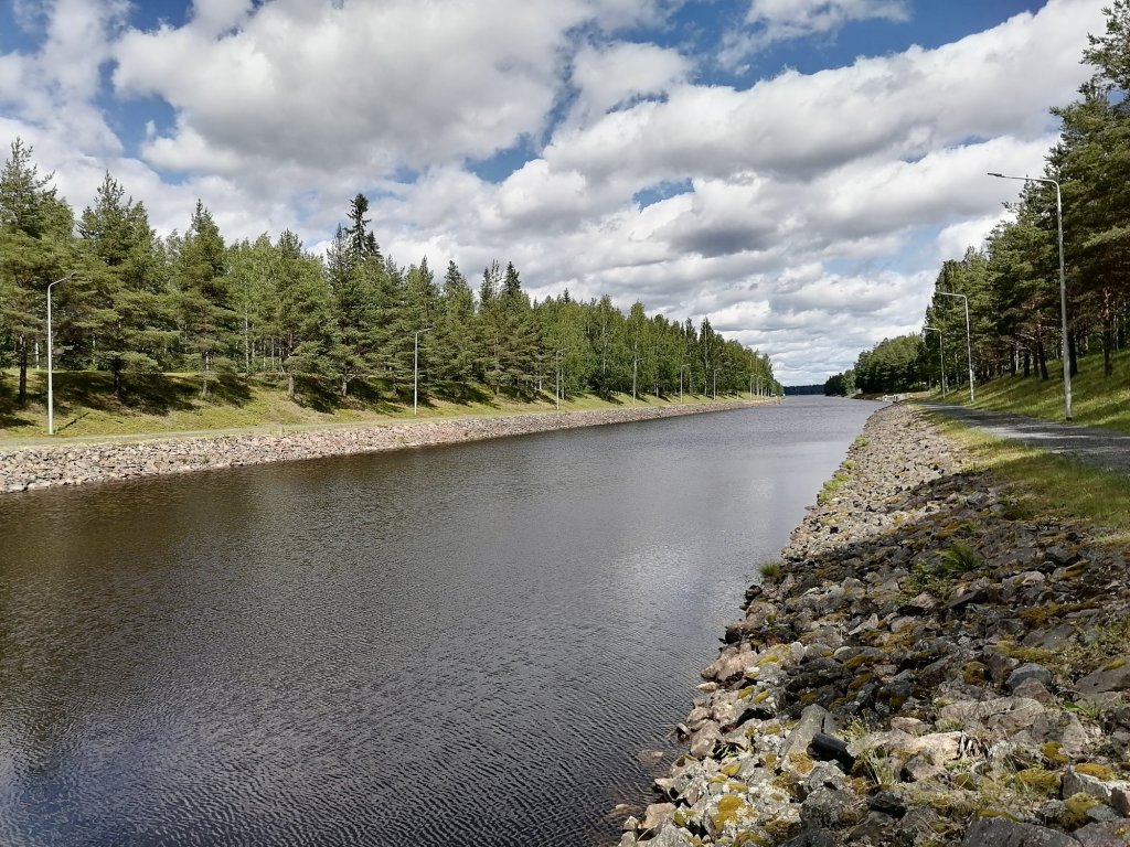
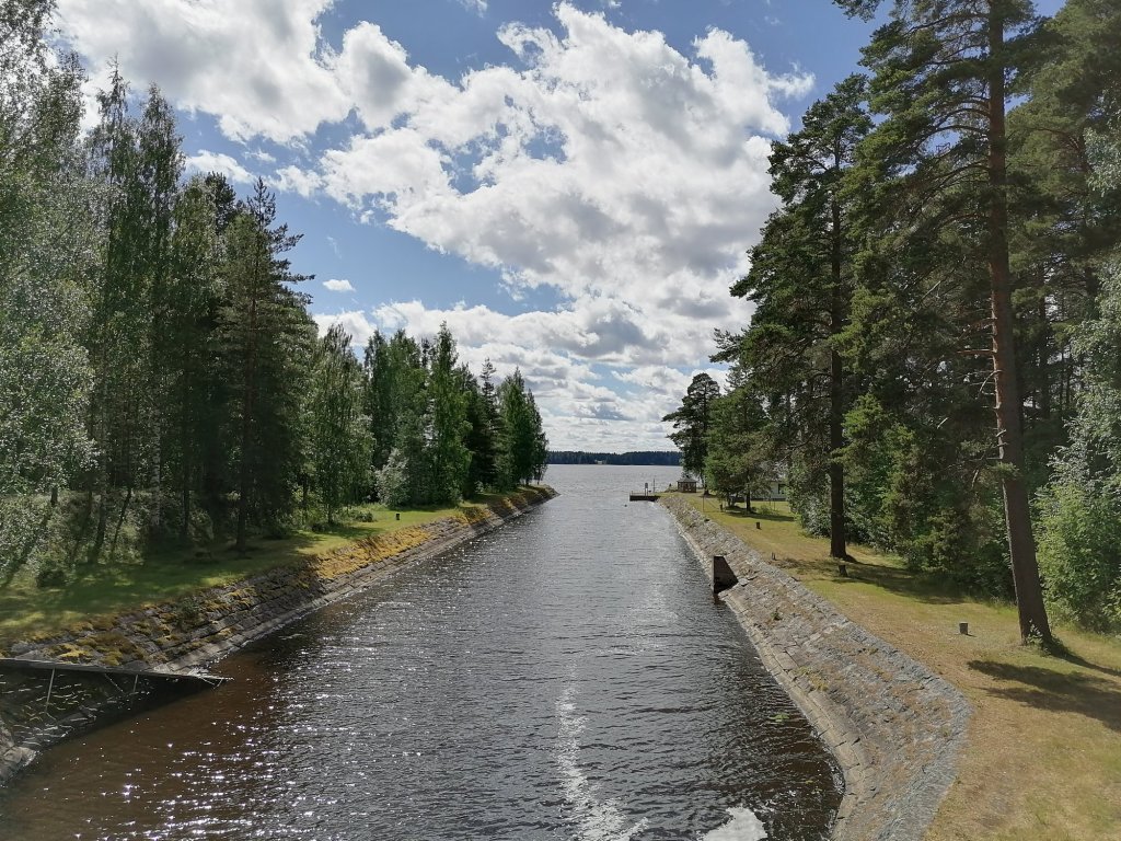
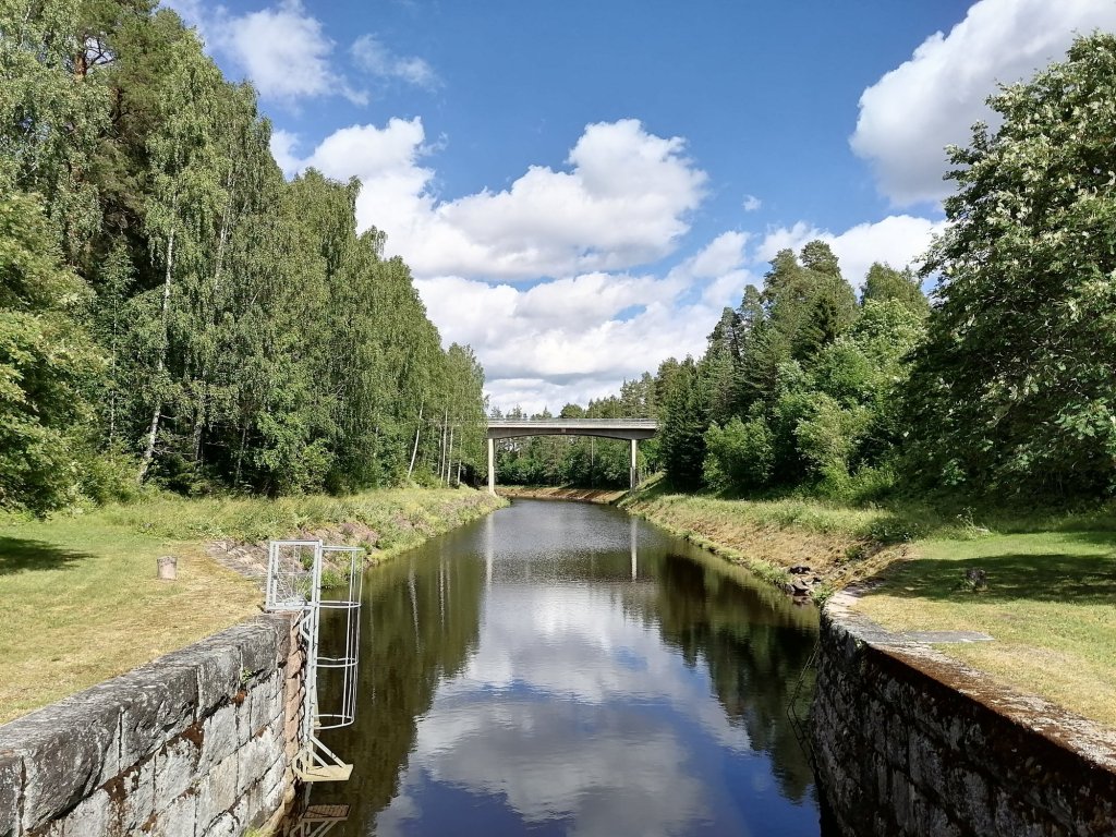
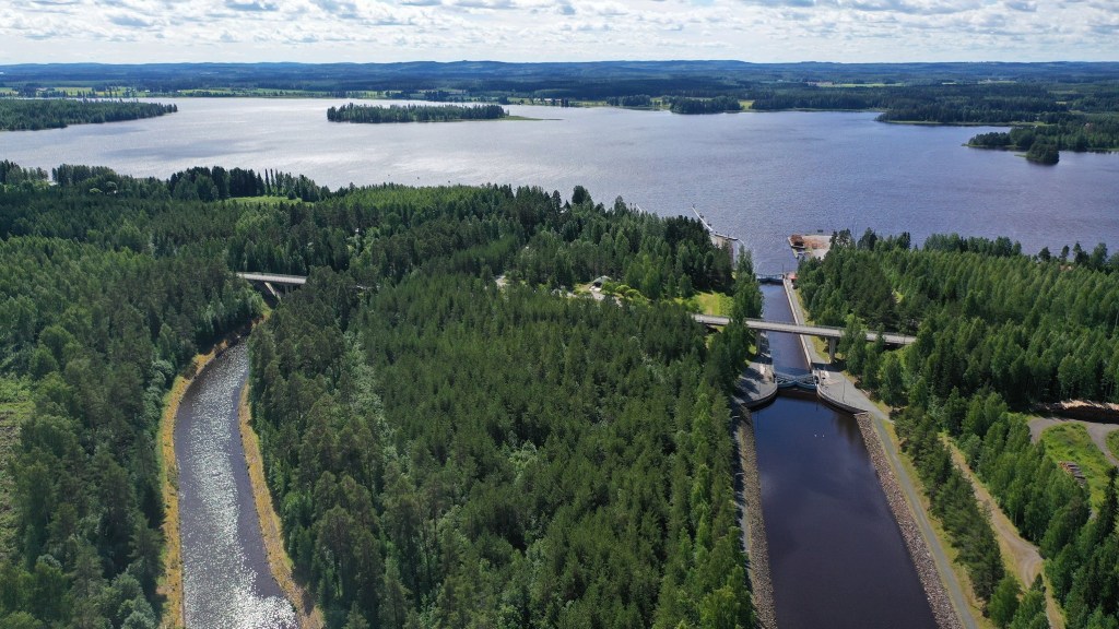
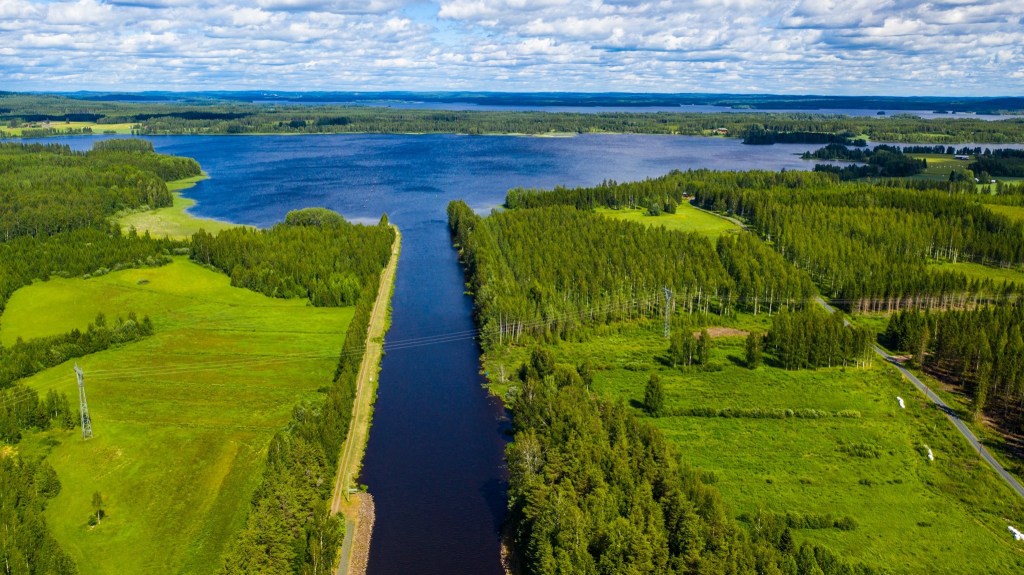
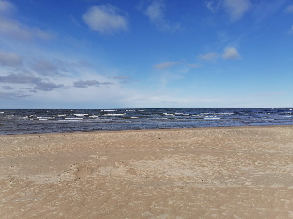
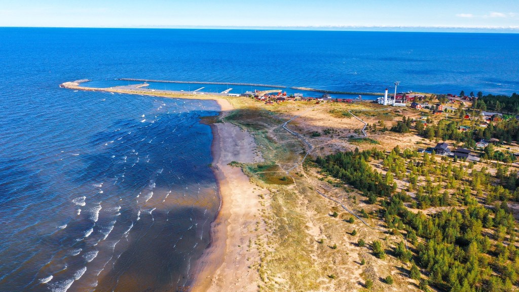
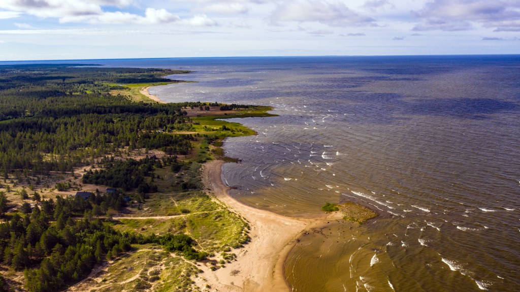
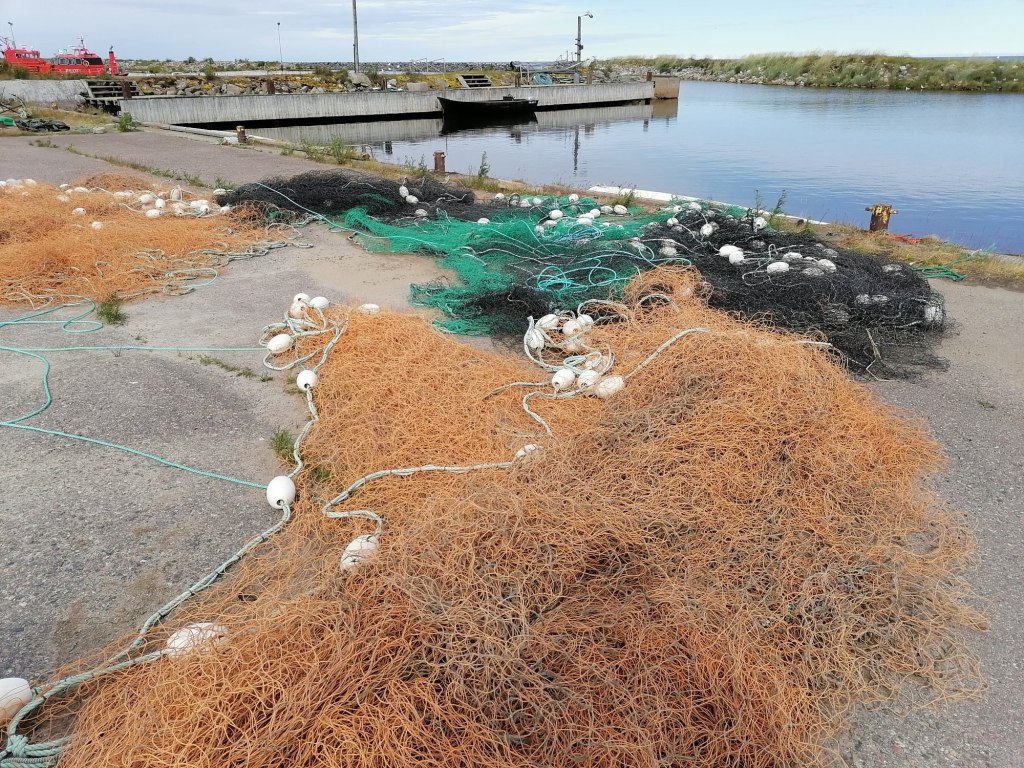
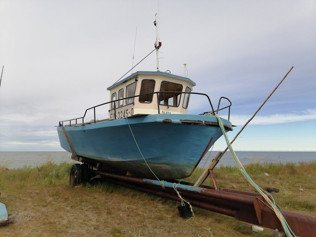
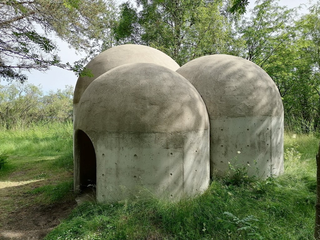
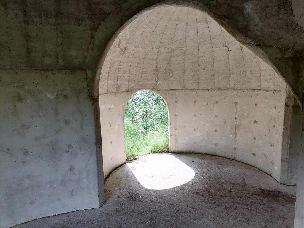
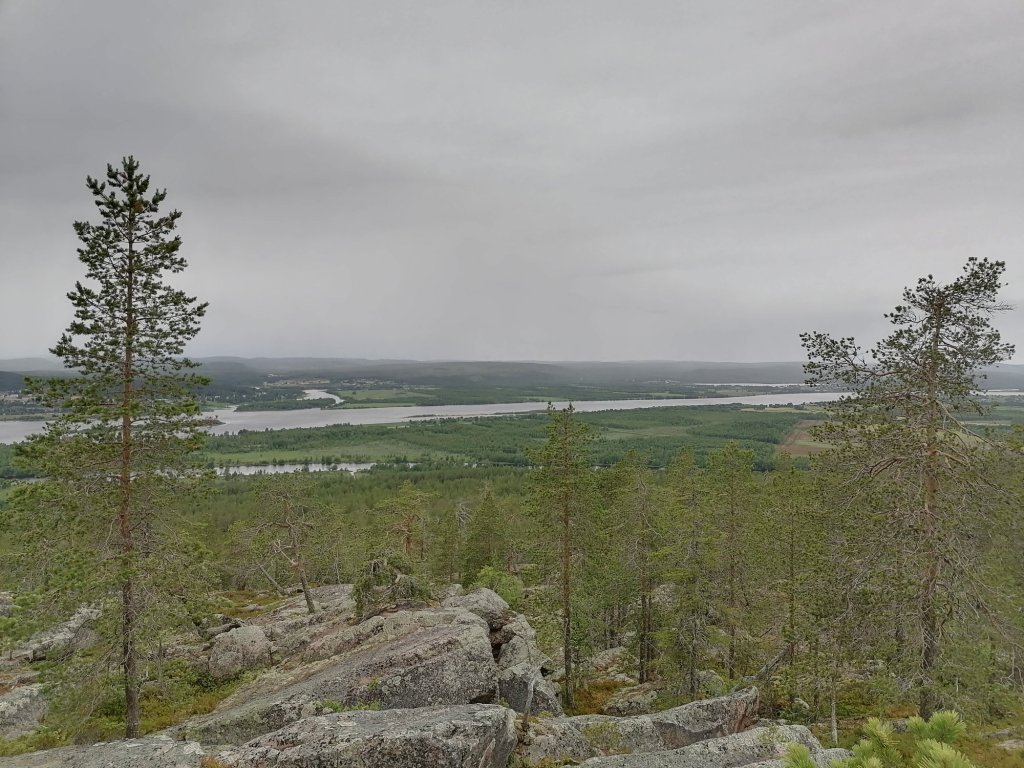
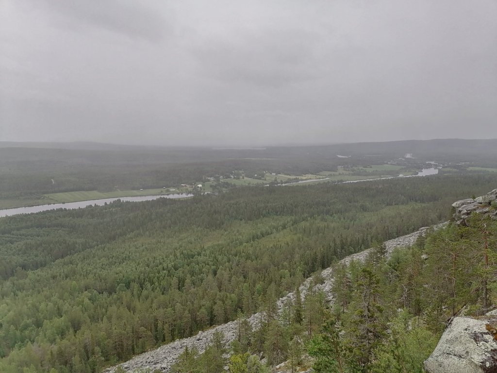
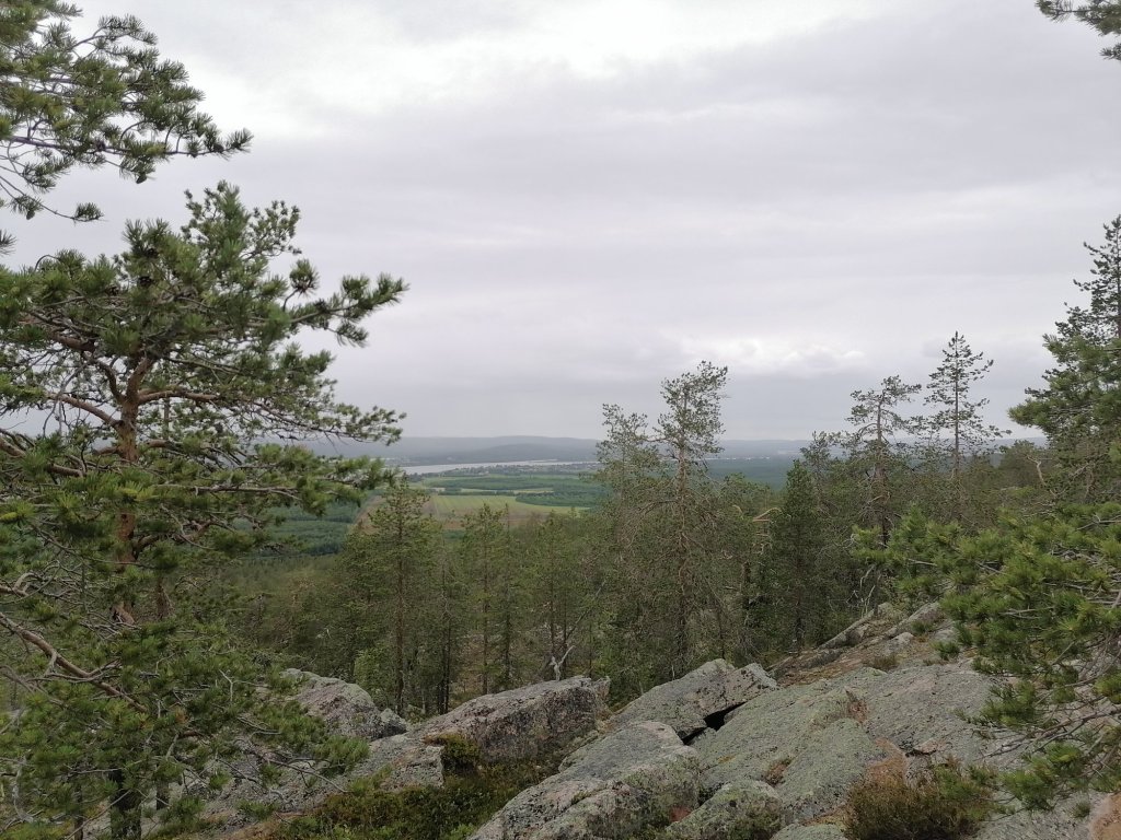
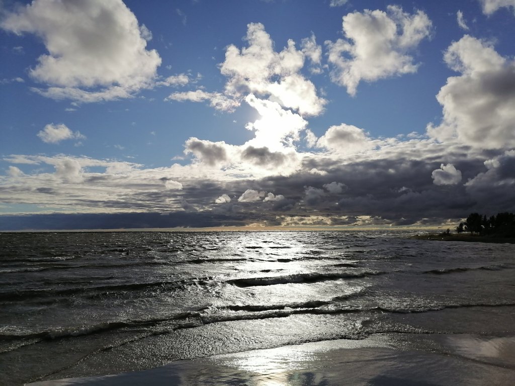
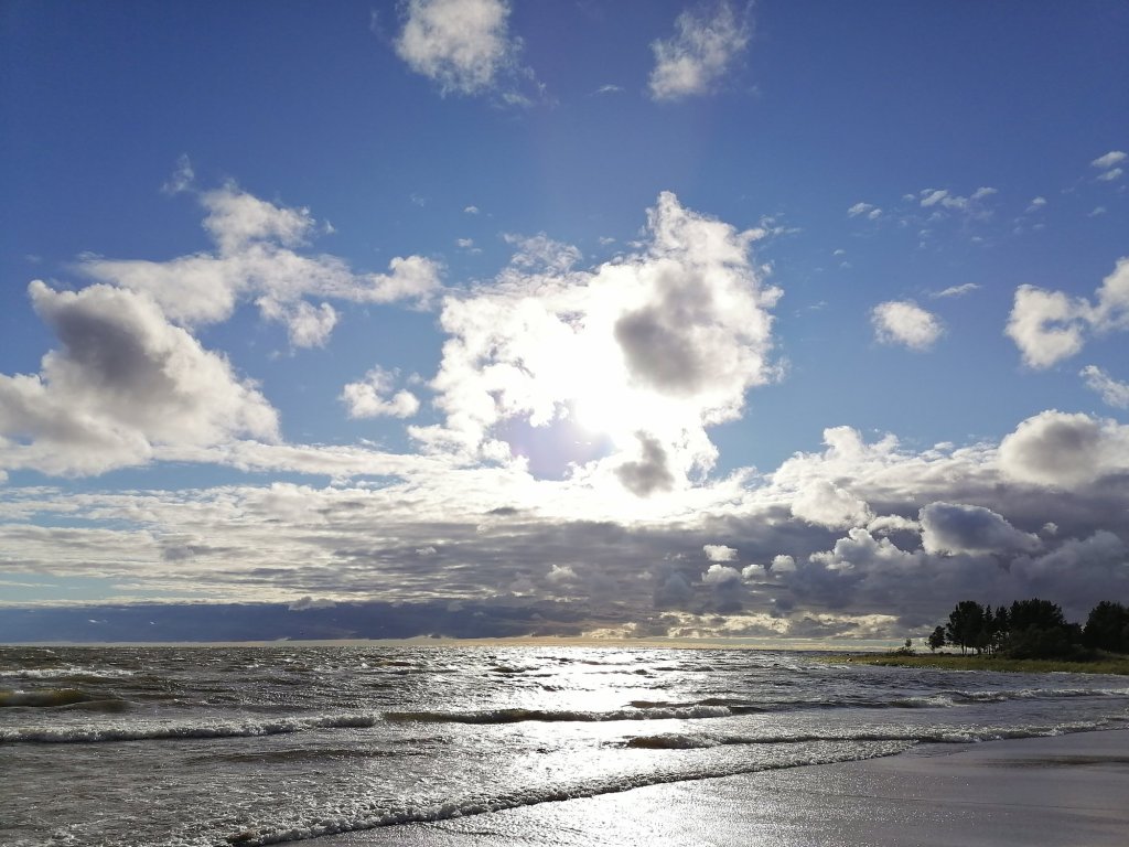
I jumped off the train in Lappohja (Lappvik) and first I wanted to ride to the beach and then continue to Harparskog line area. There is a lot of forest roads that are blocked with the gate so I can’t go riding there with my motorcycle. Bicycle is a perfect choice!
Here is the route:
This bicycle ride was so much fun!! I’m thinking to do something very similar also this weekend!
For this bike it’s a good idea to buy also the winter tires (I don’t need them now) and maybe in the future there’s going to be a lot more of bicycling content in this blog?!