It’s almost Christmas! Last weekend there was (new) Christmas Market in Salo and I decided to make a visit. I had also my drone there with me.
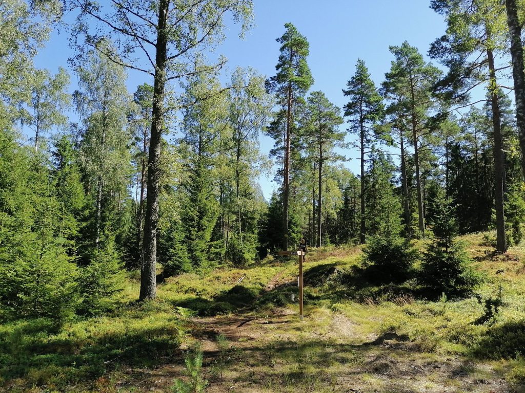
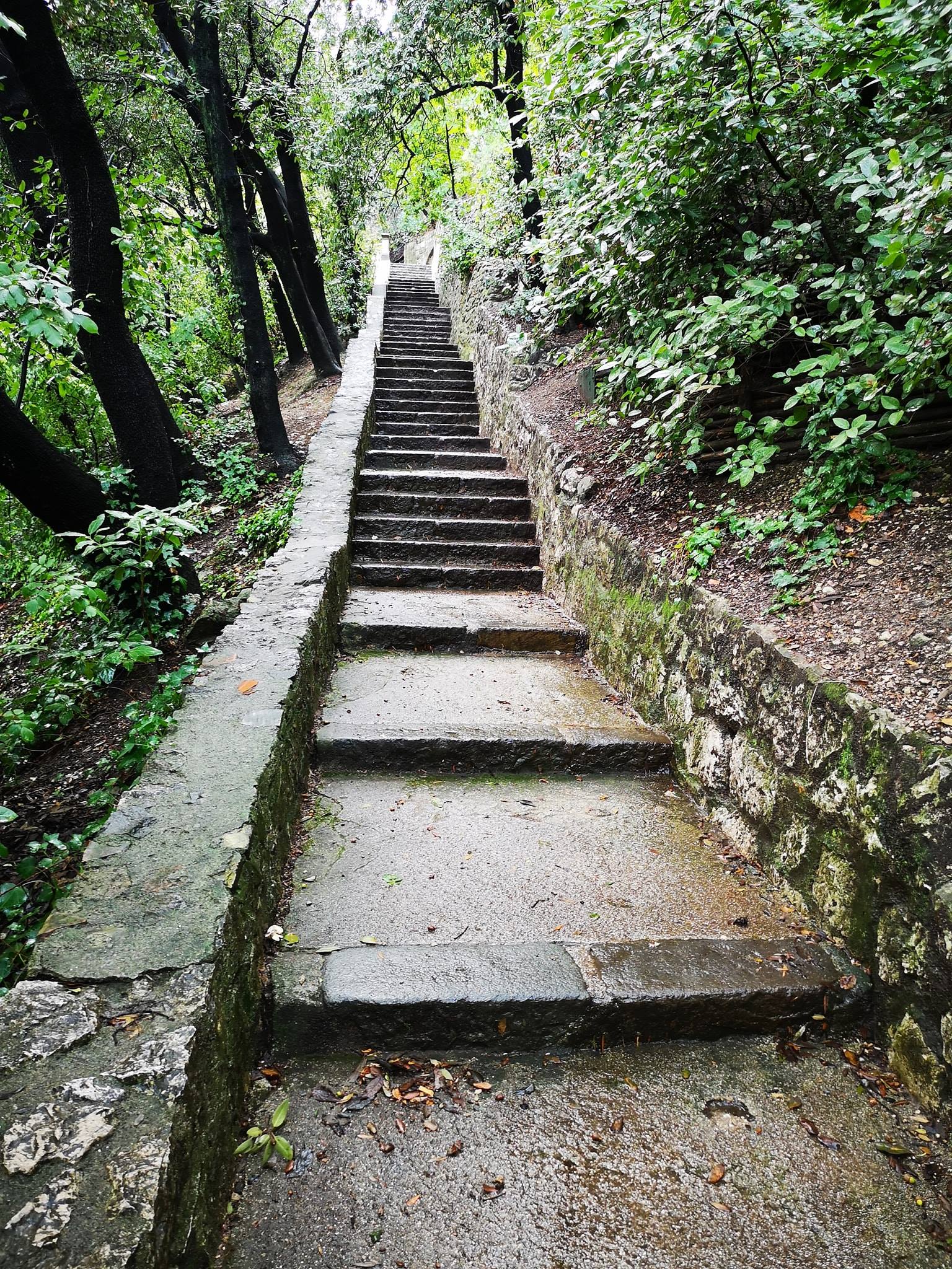
Then on sunday we had sunshine! I made a short walk in Fiskars village and here is the result:
If you decide to buy this amazing Insta360 Ace Pro camera please use this link: https://www.insta360.com/sal/ace-pro?utm_term=INRKCO8
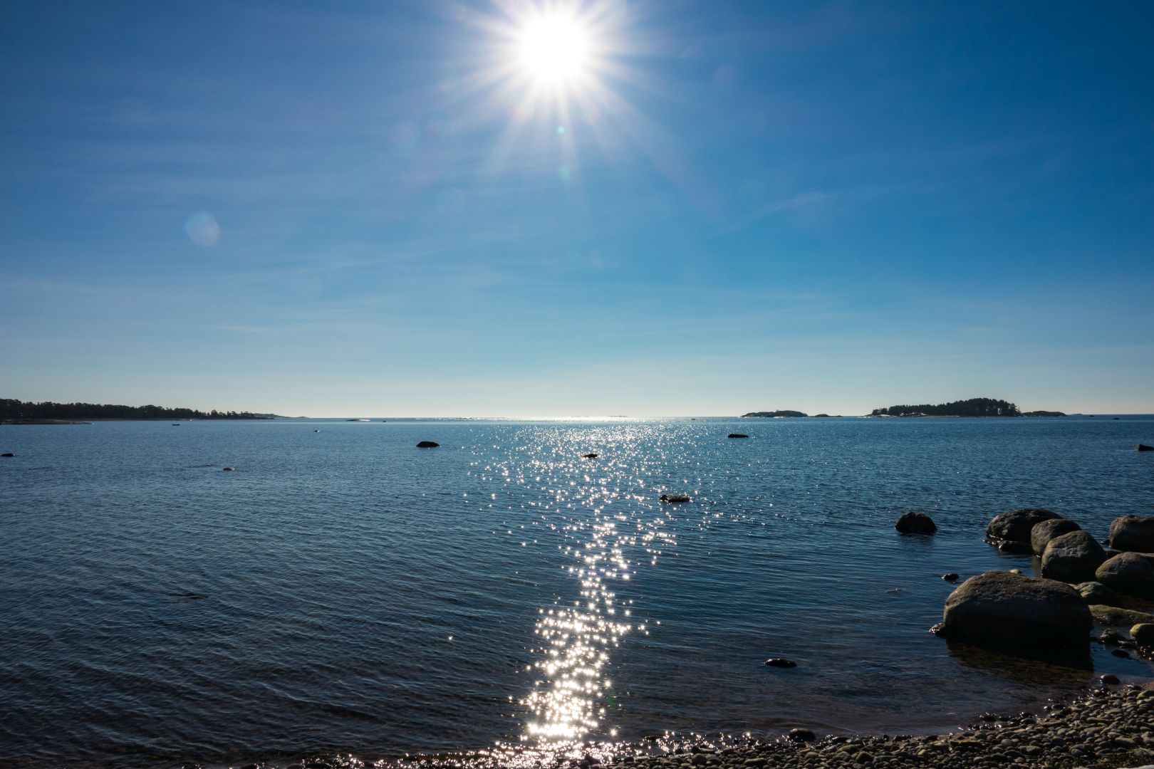

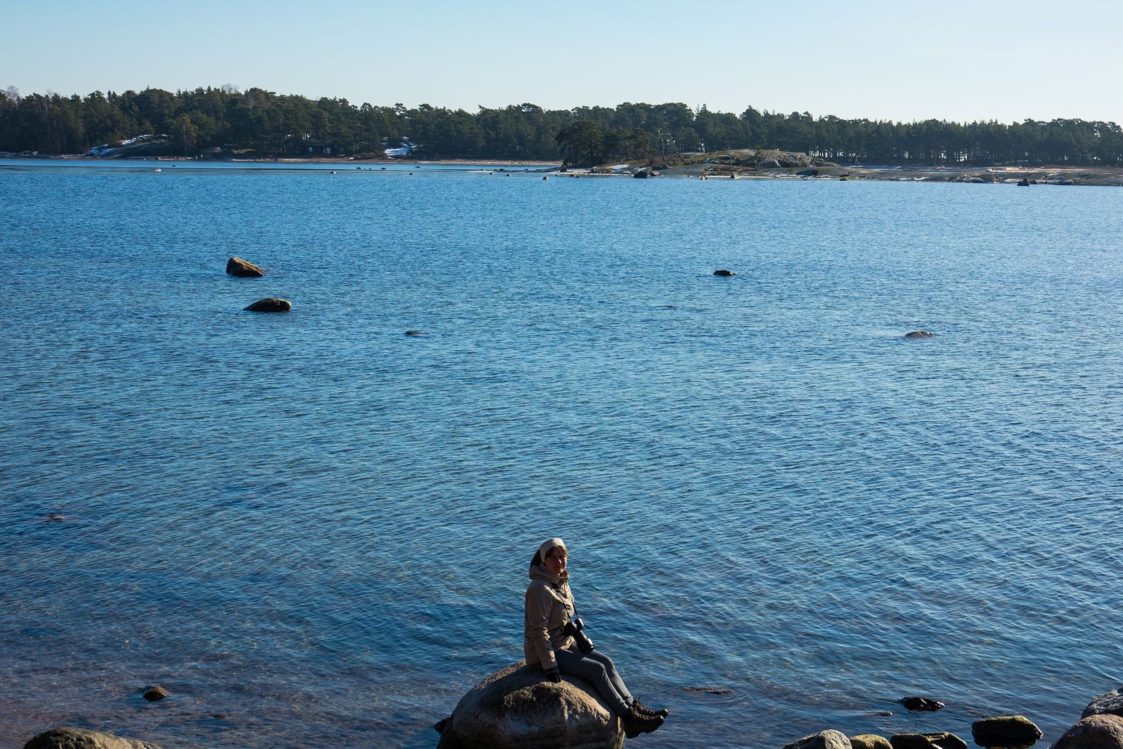
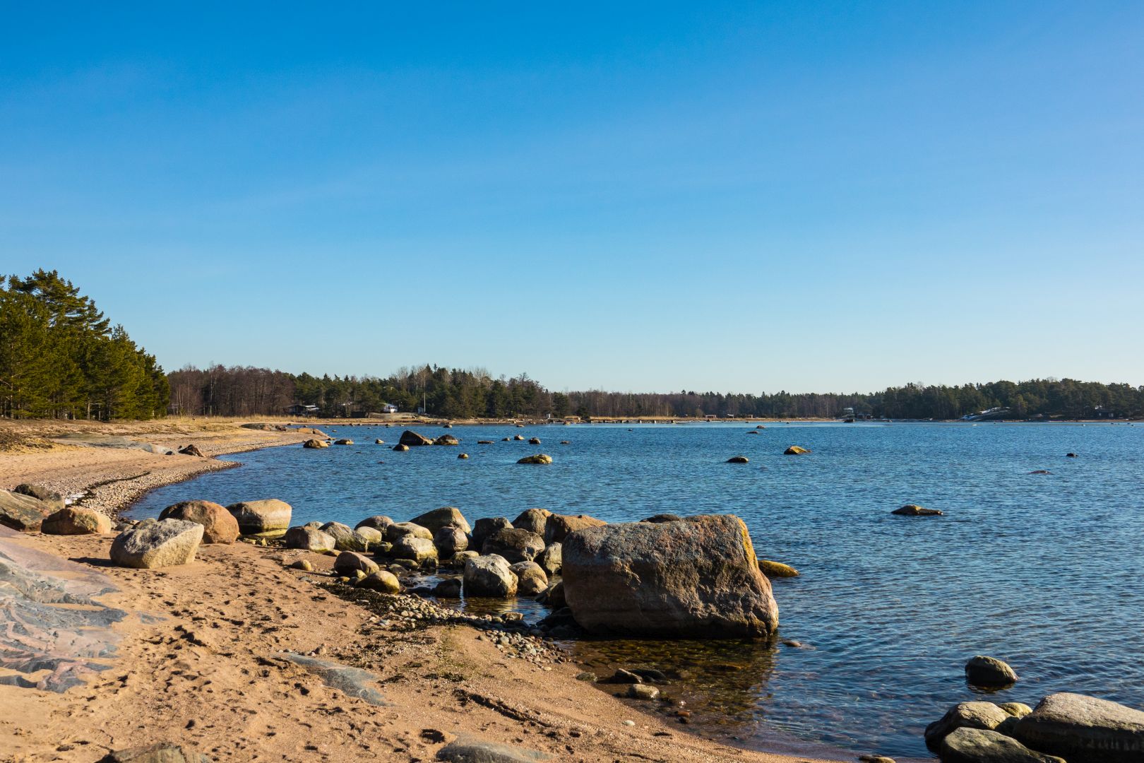


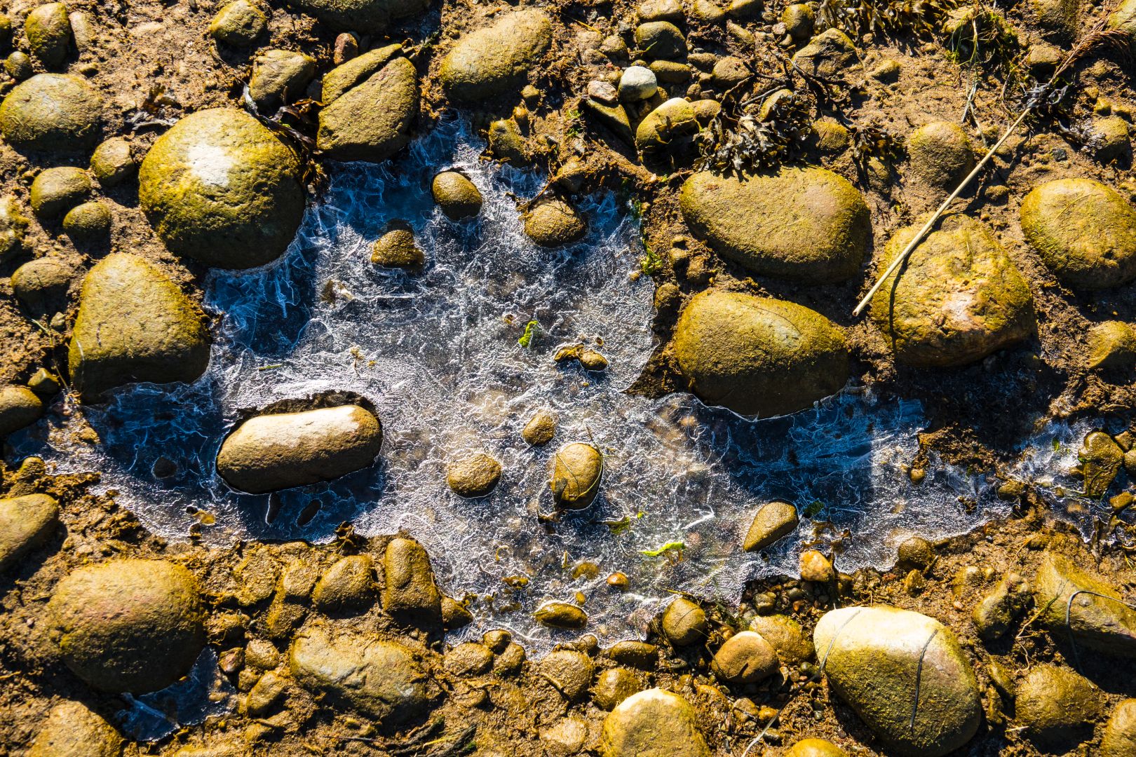
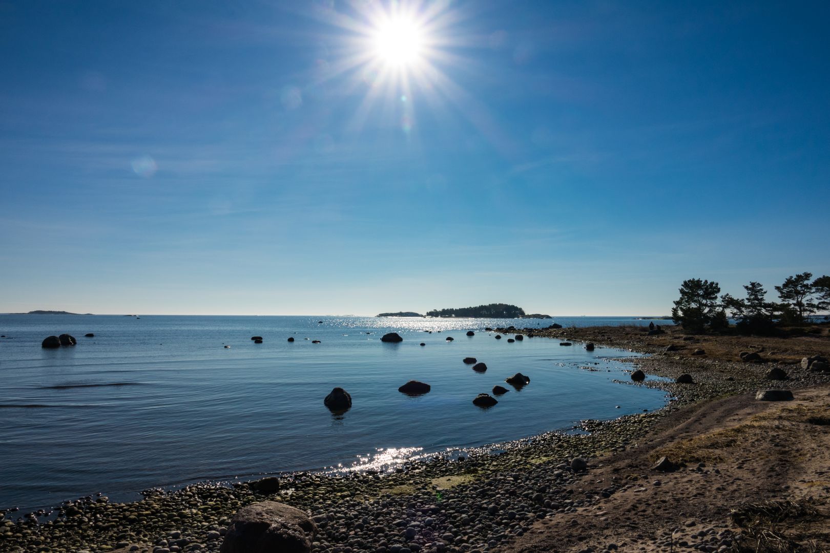

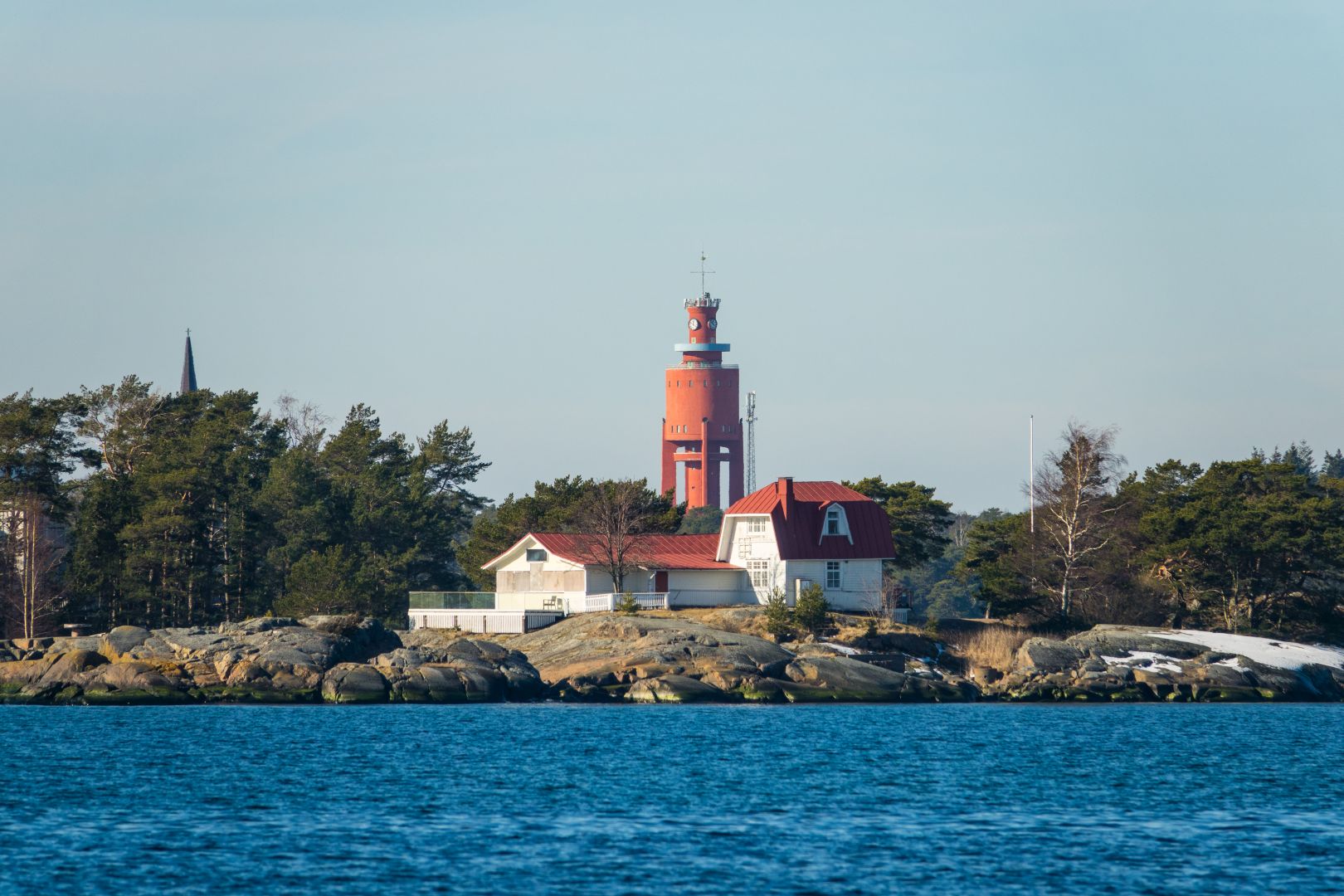
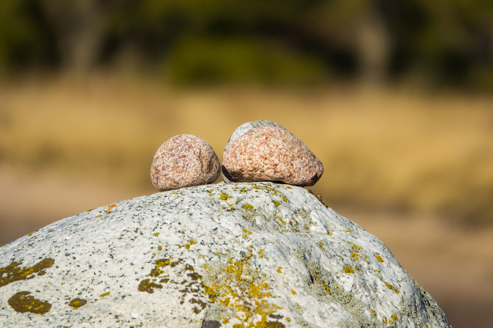
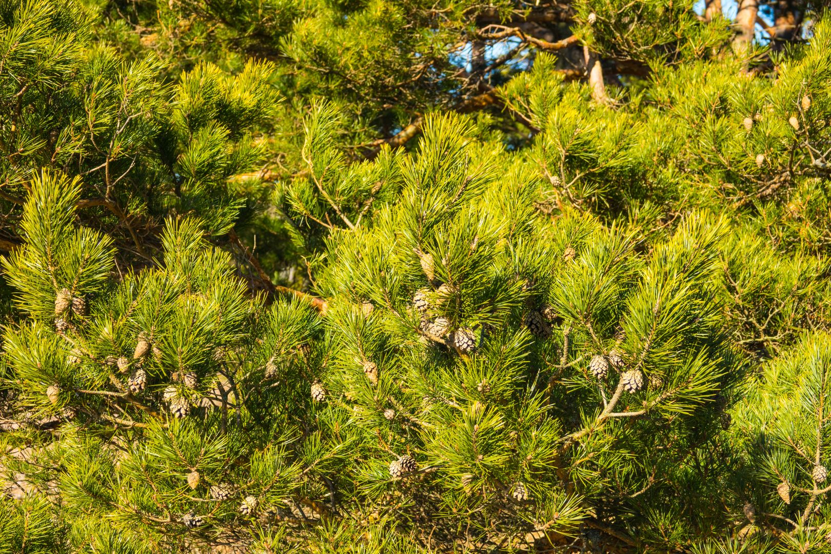
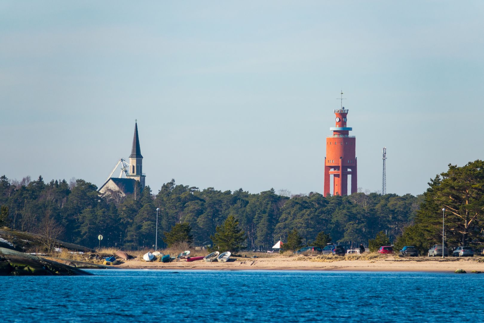
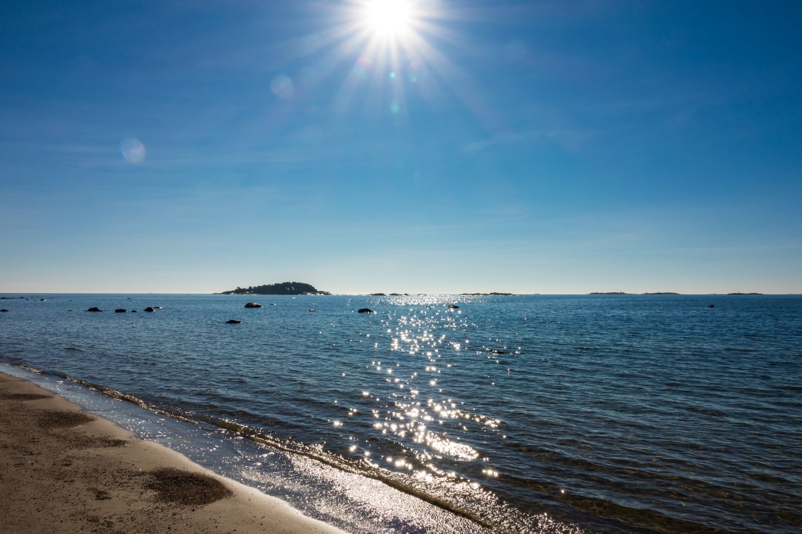
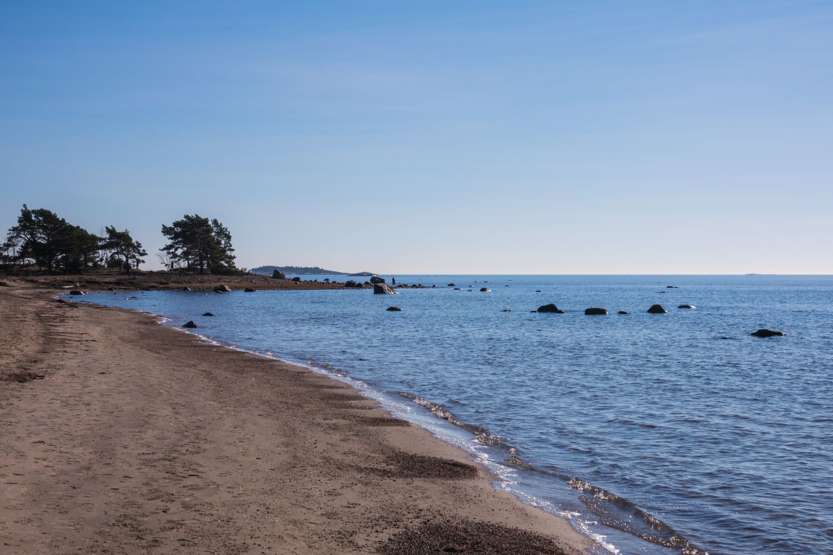

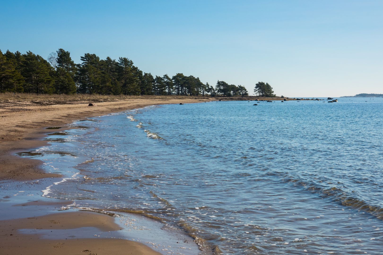
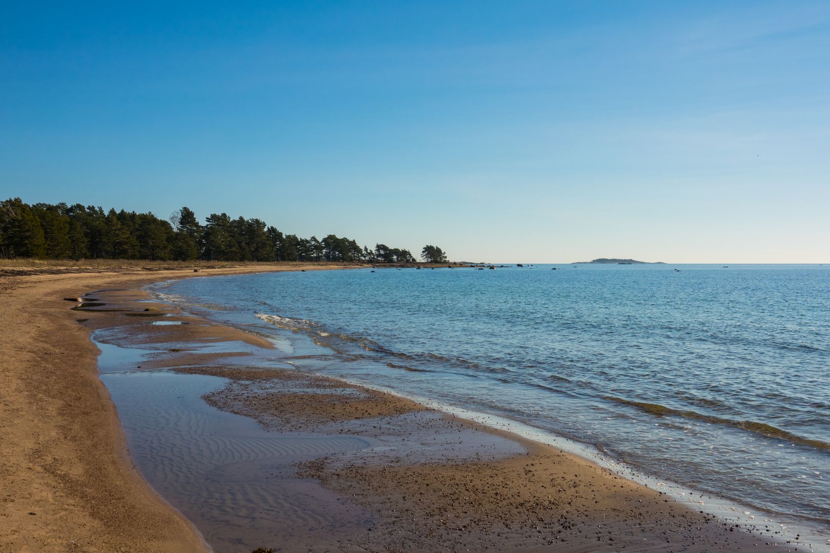
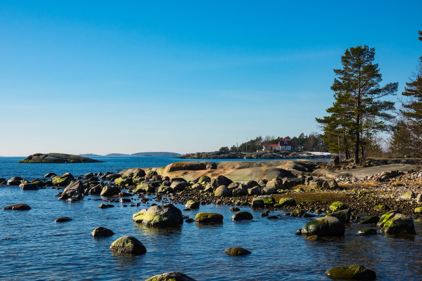
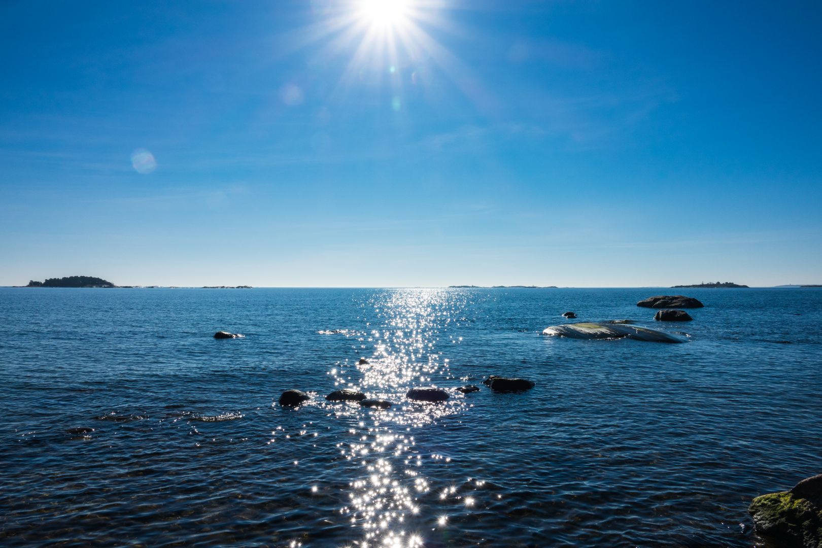
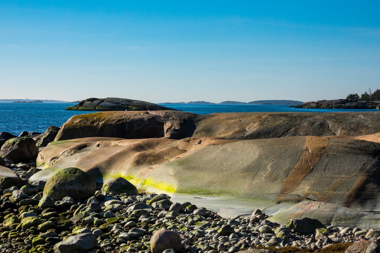
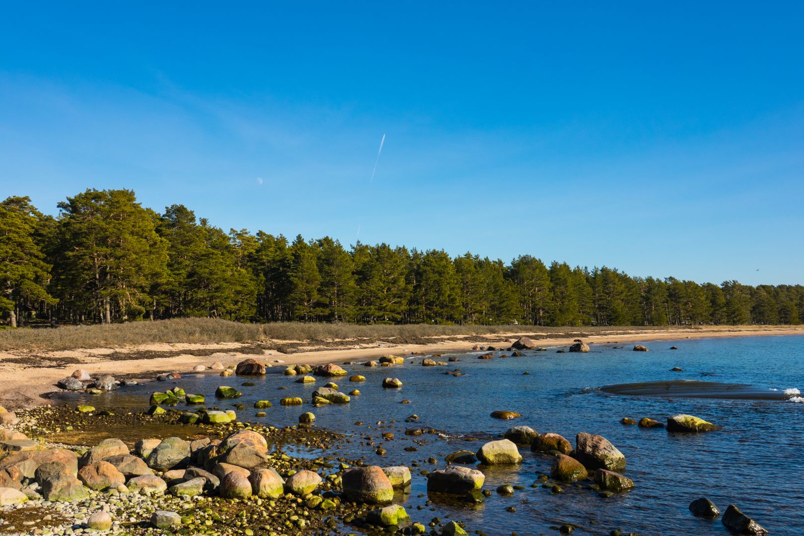

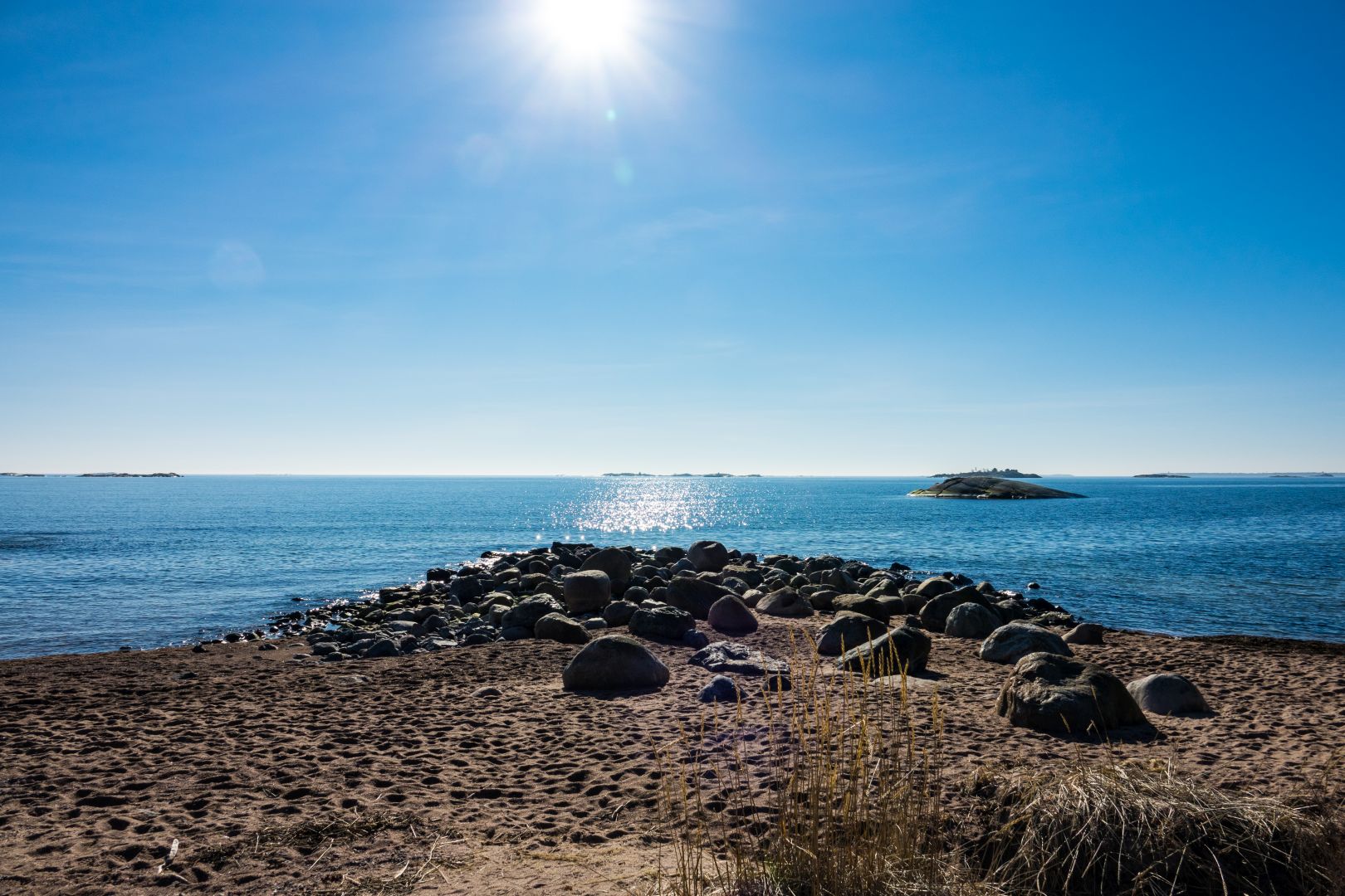
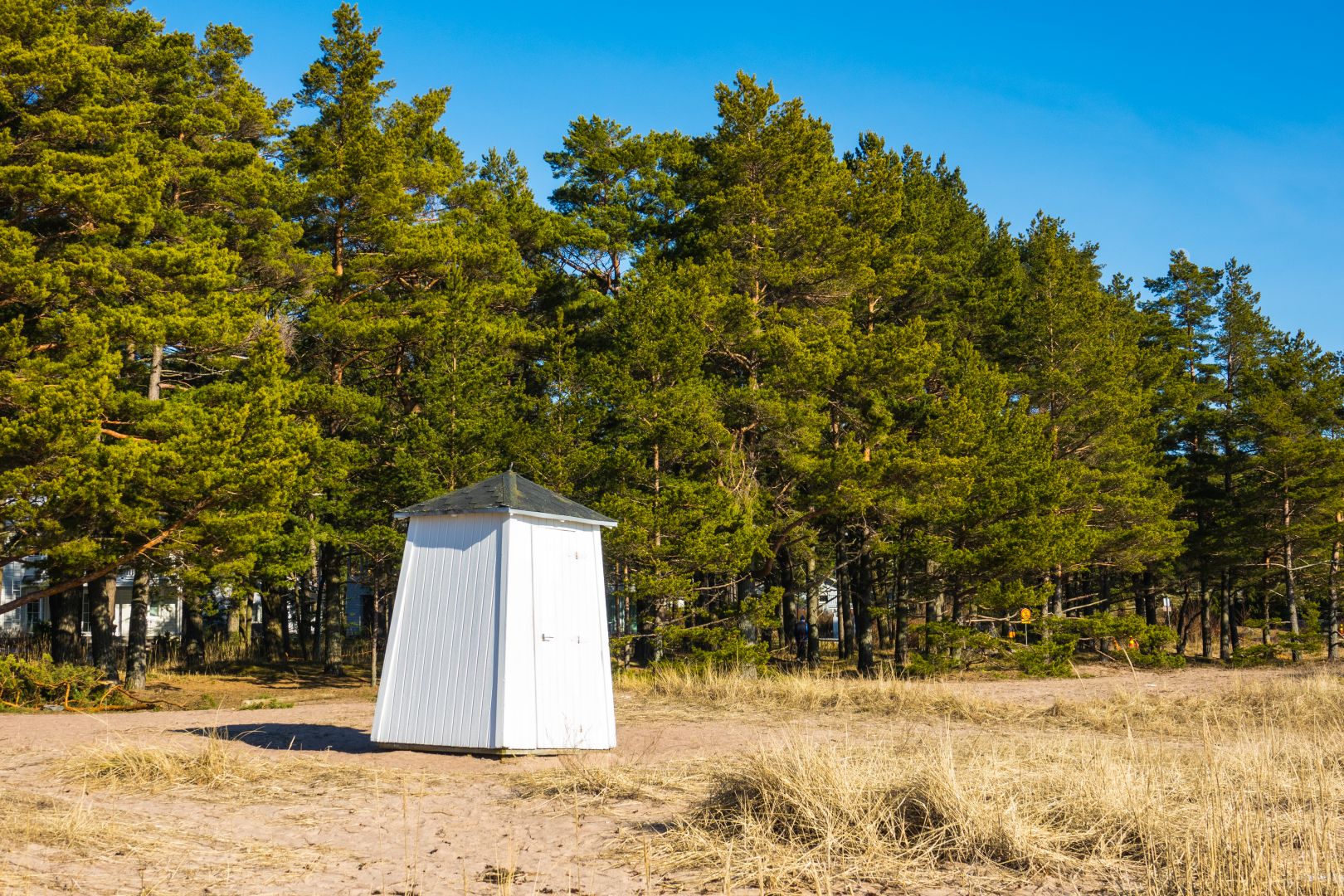
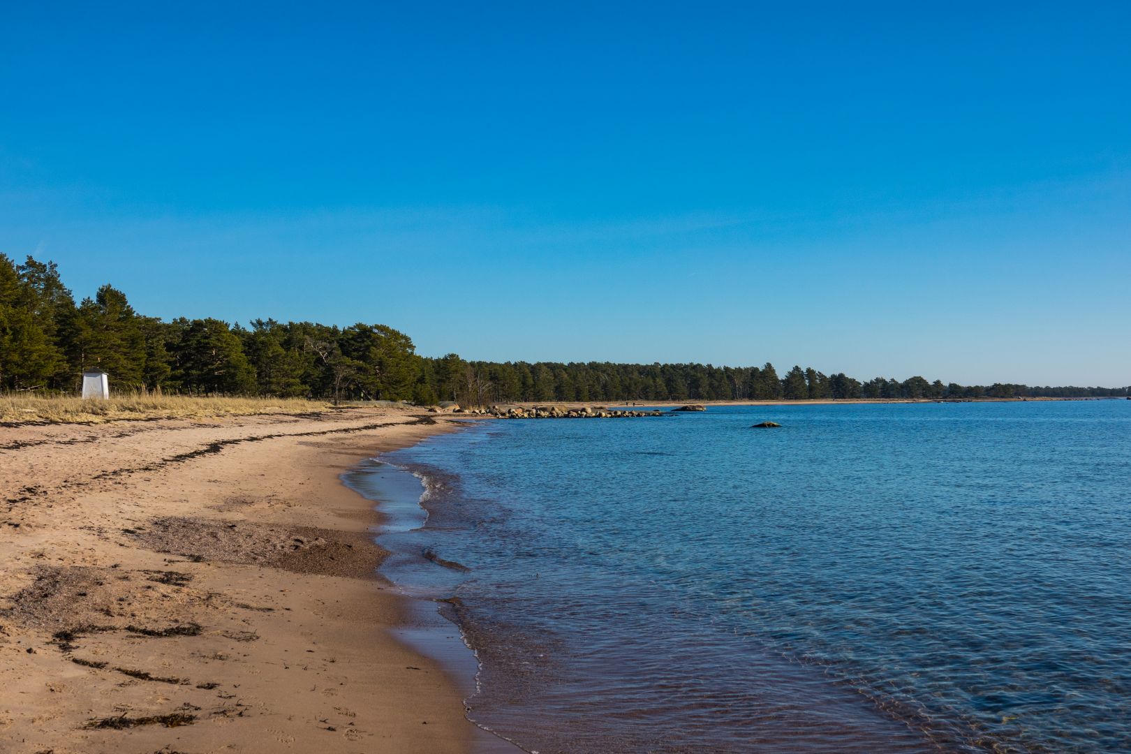
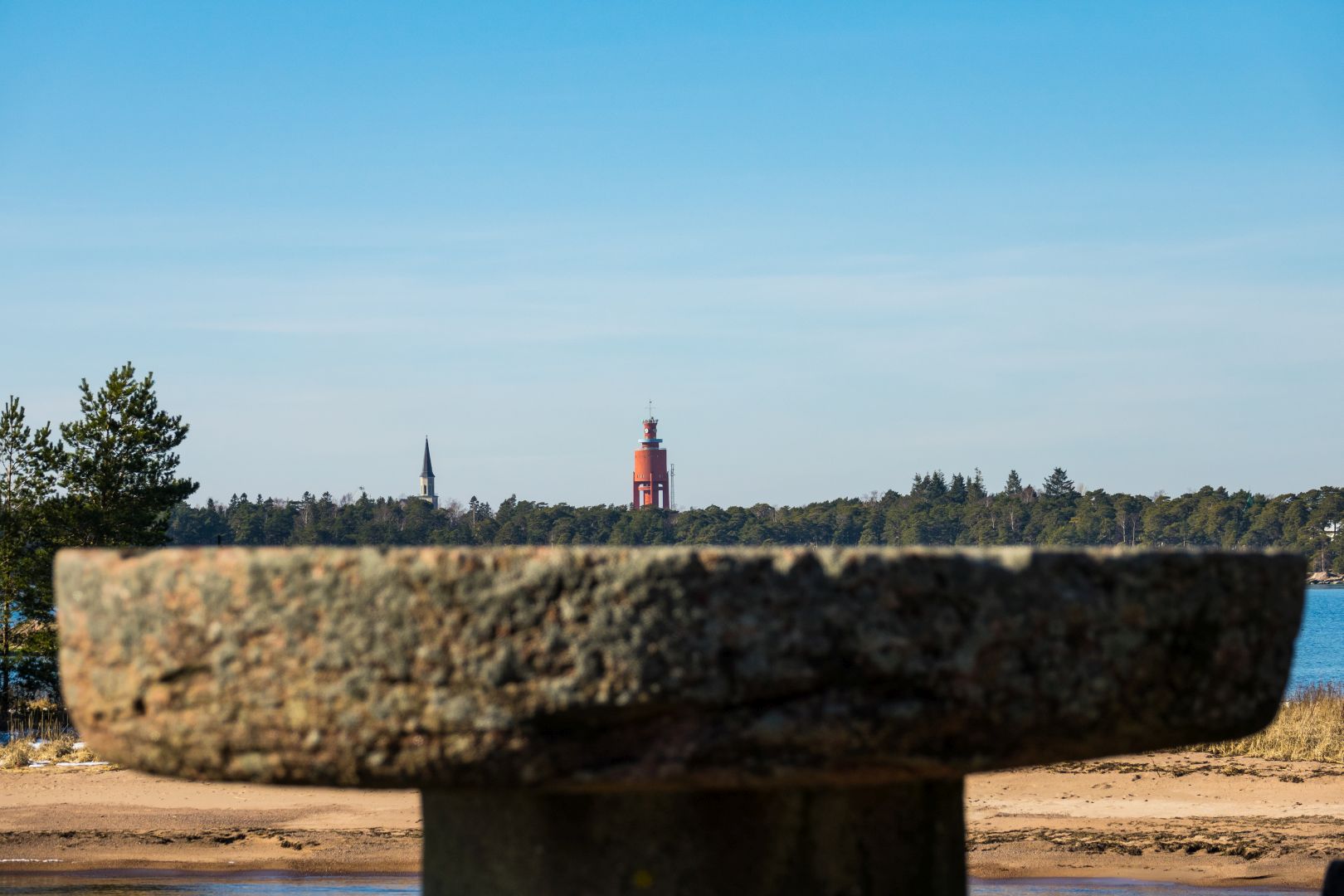
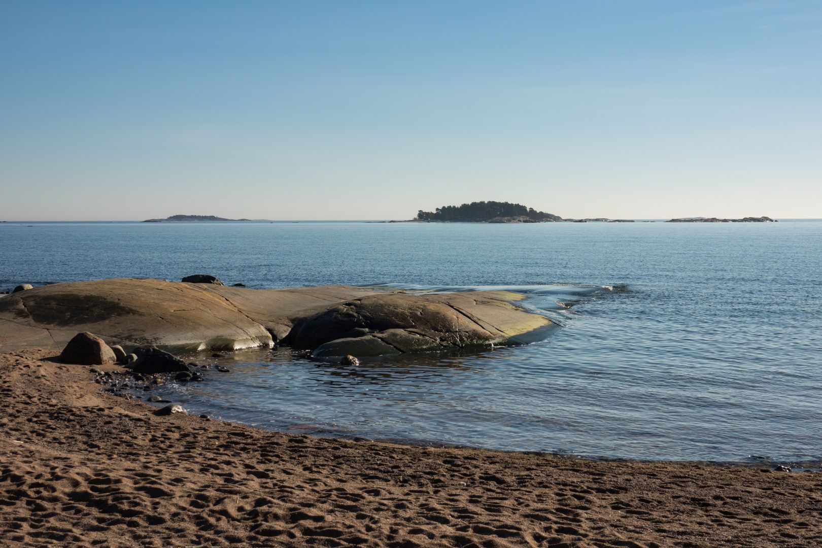
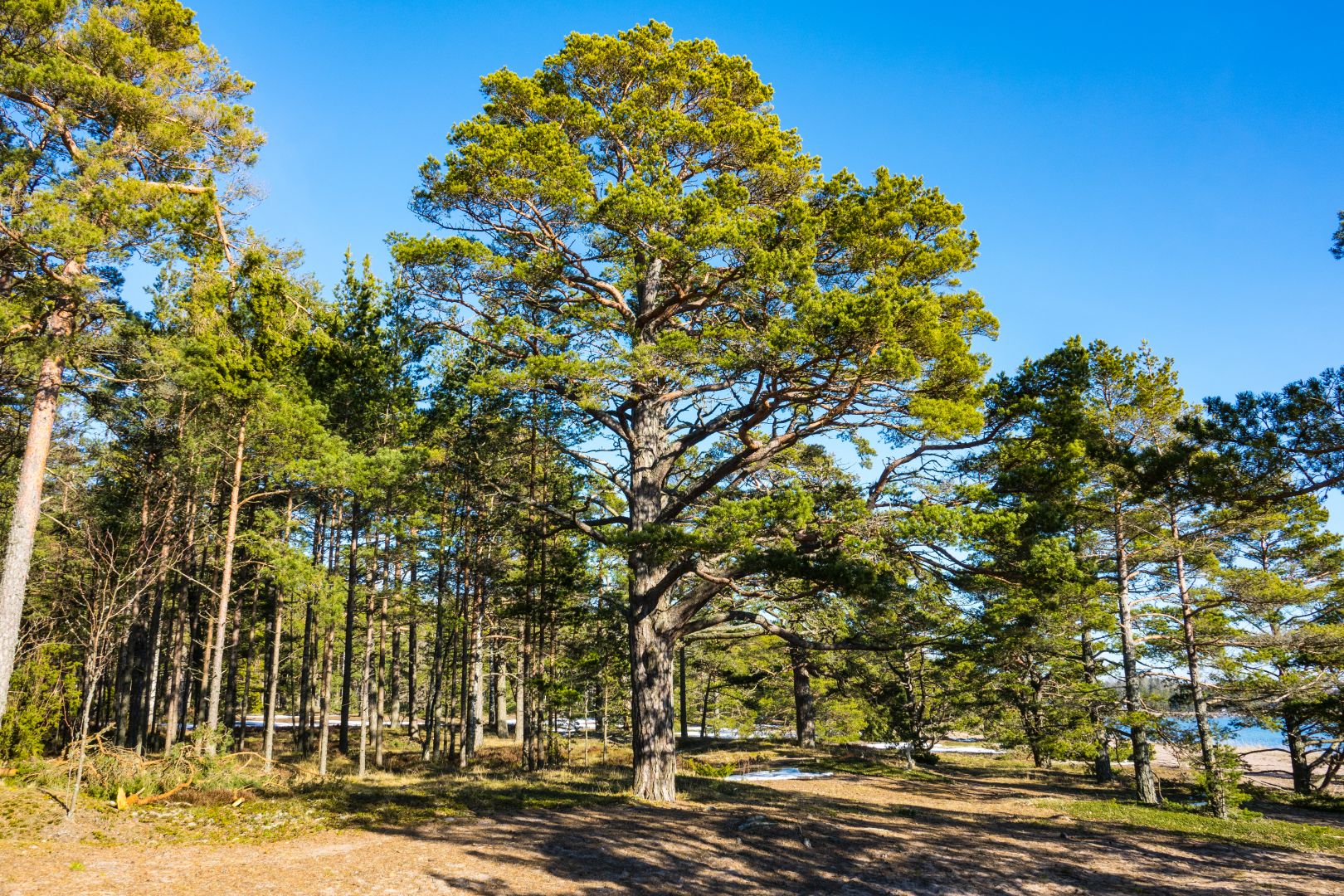
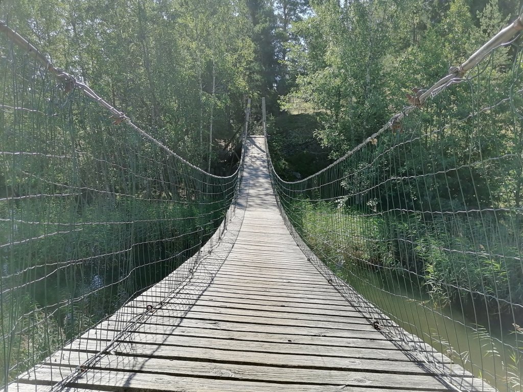
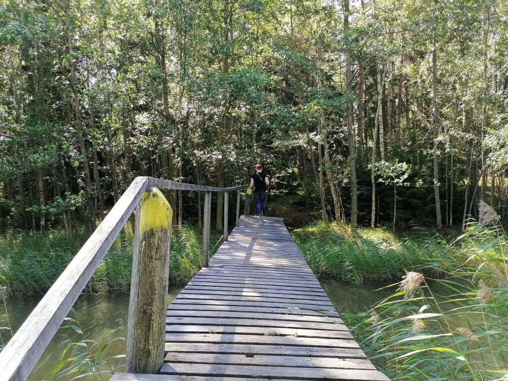
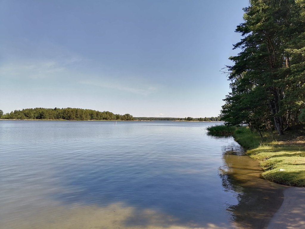
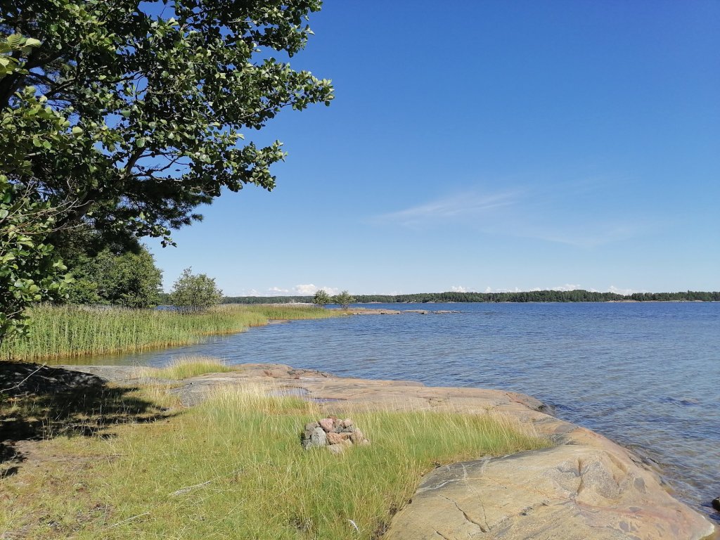
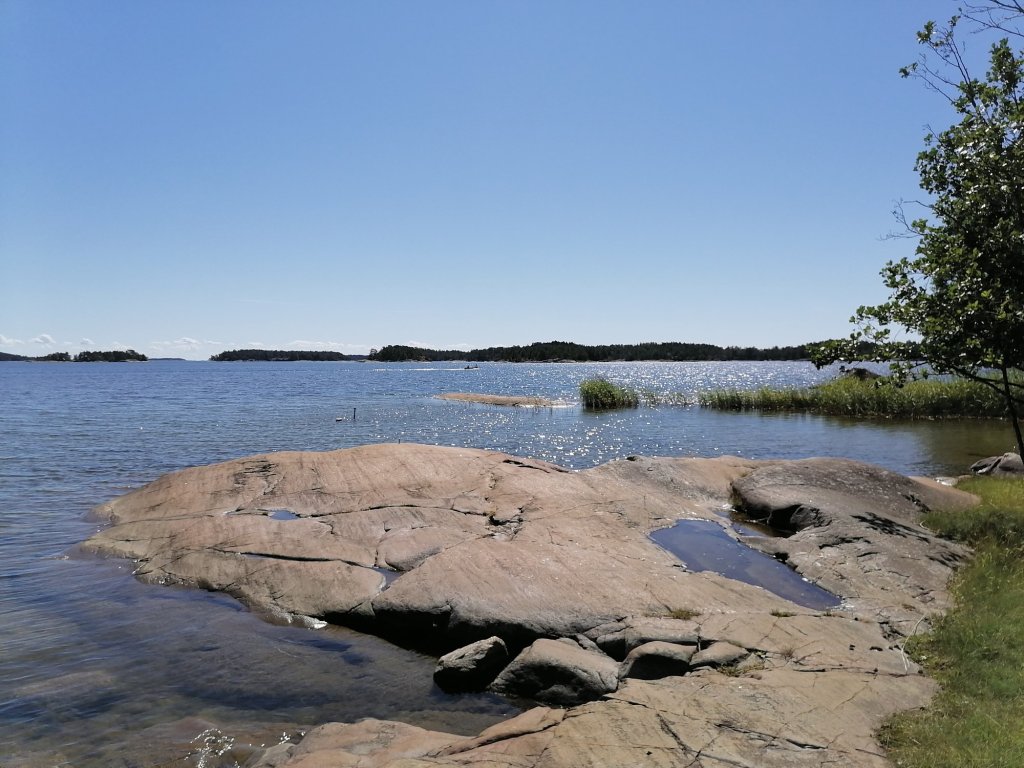
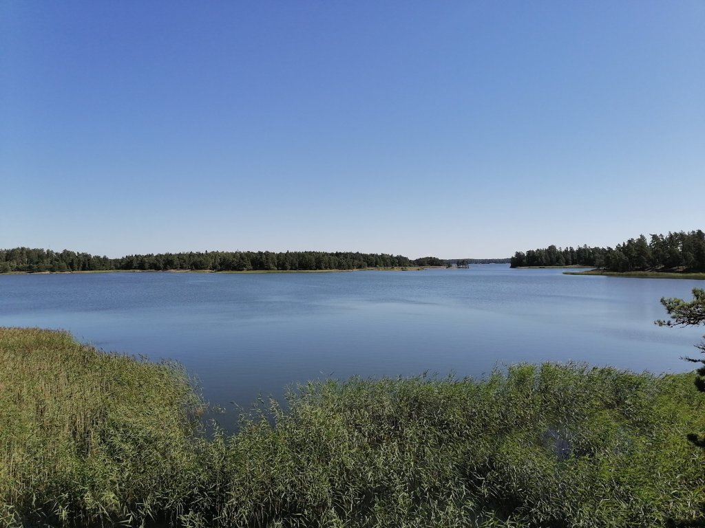
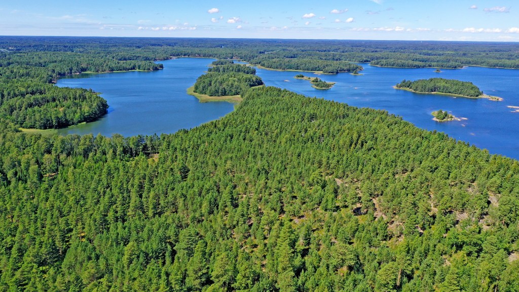
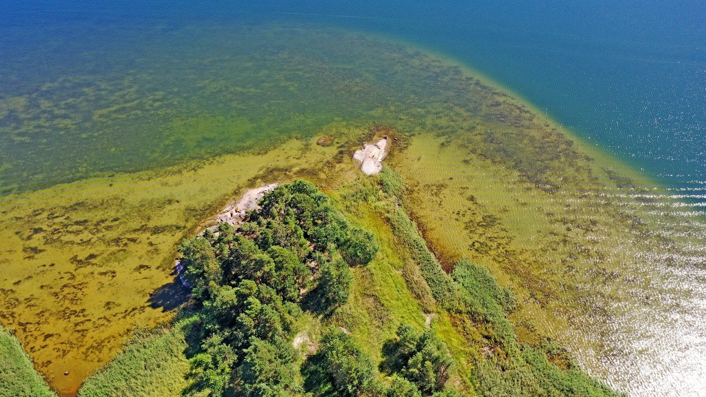

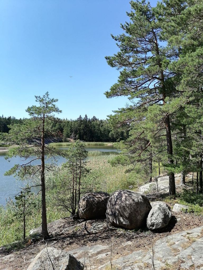
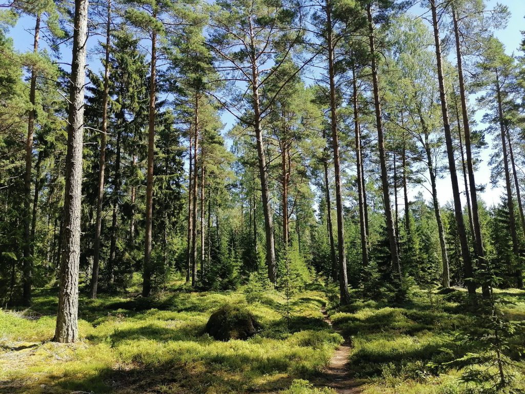
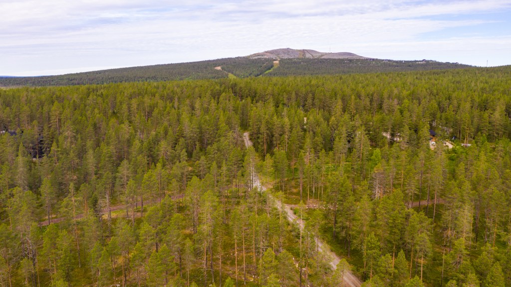

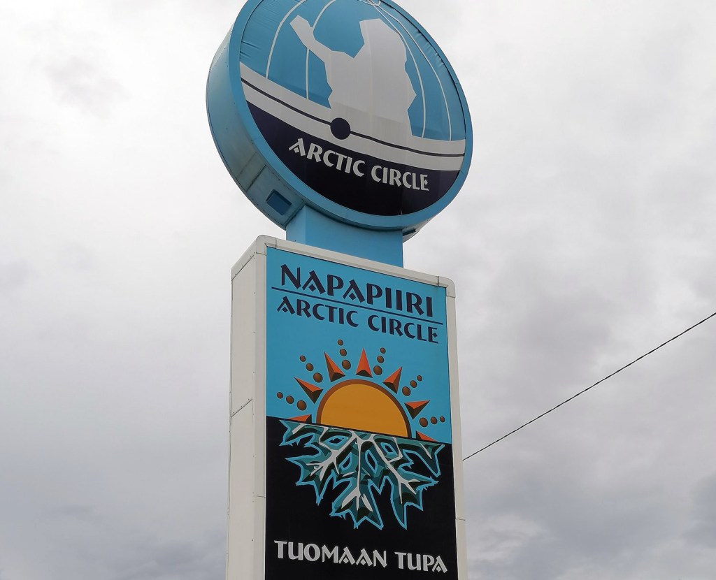
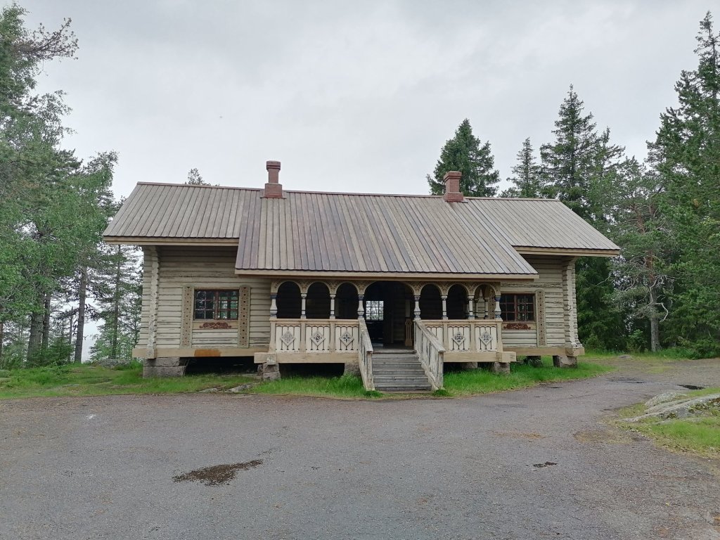
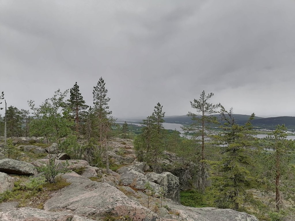
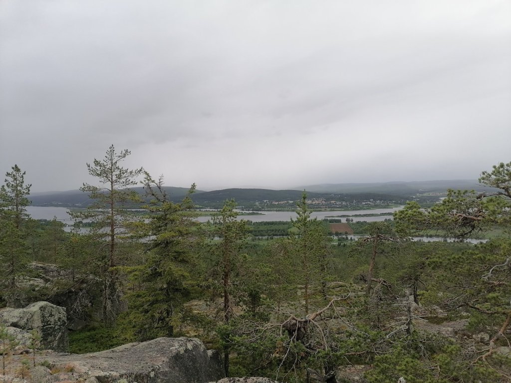
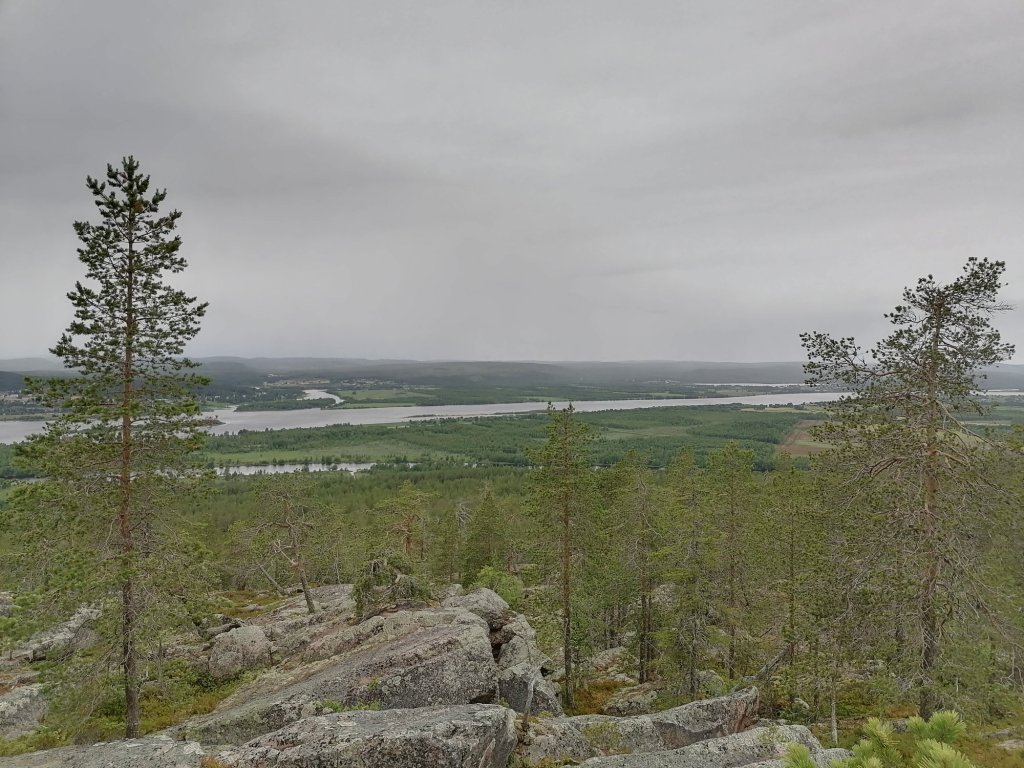
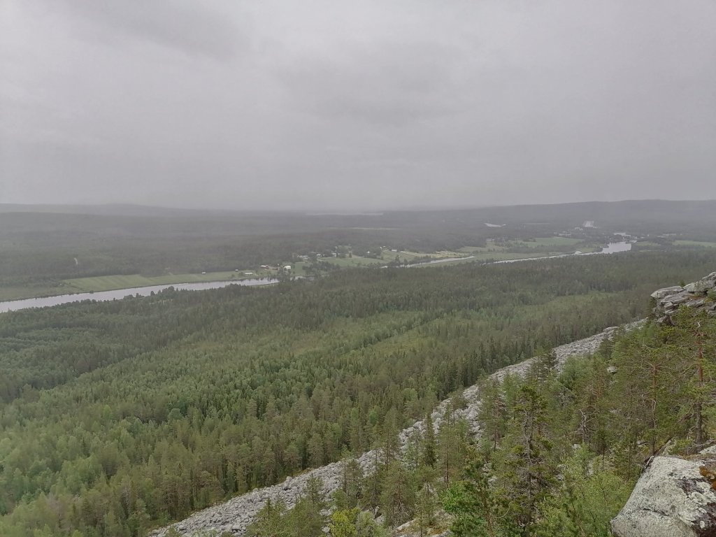
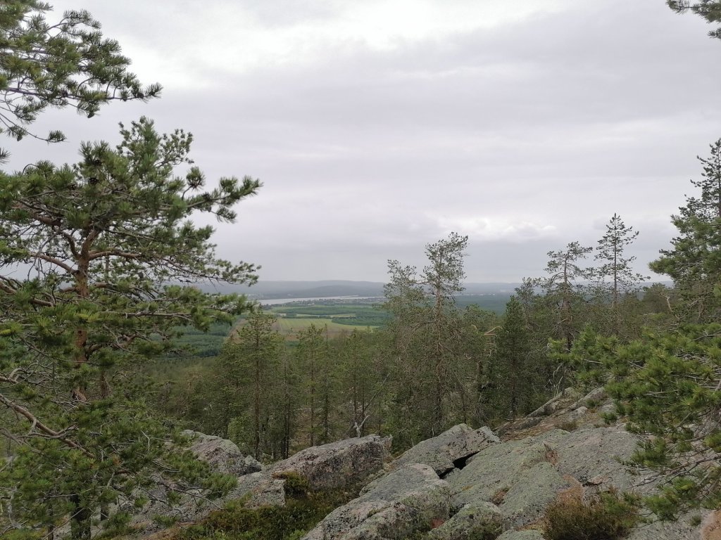
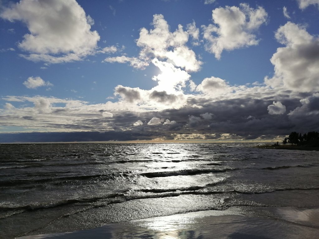
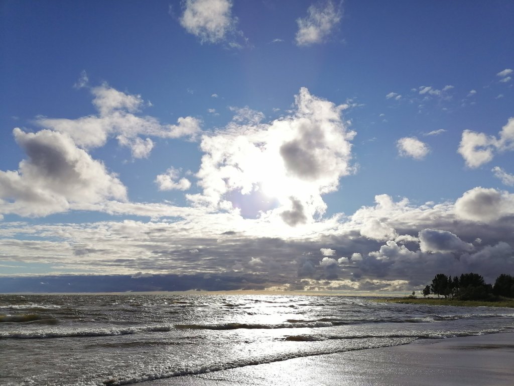


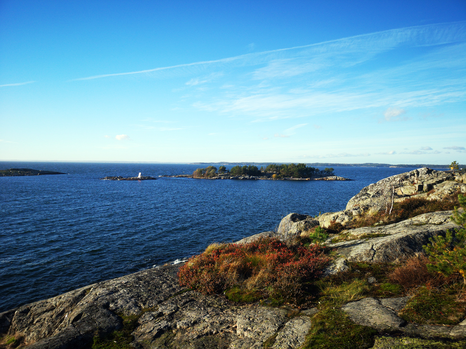
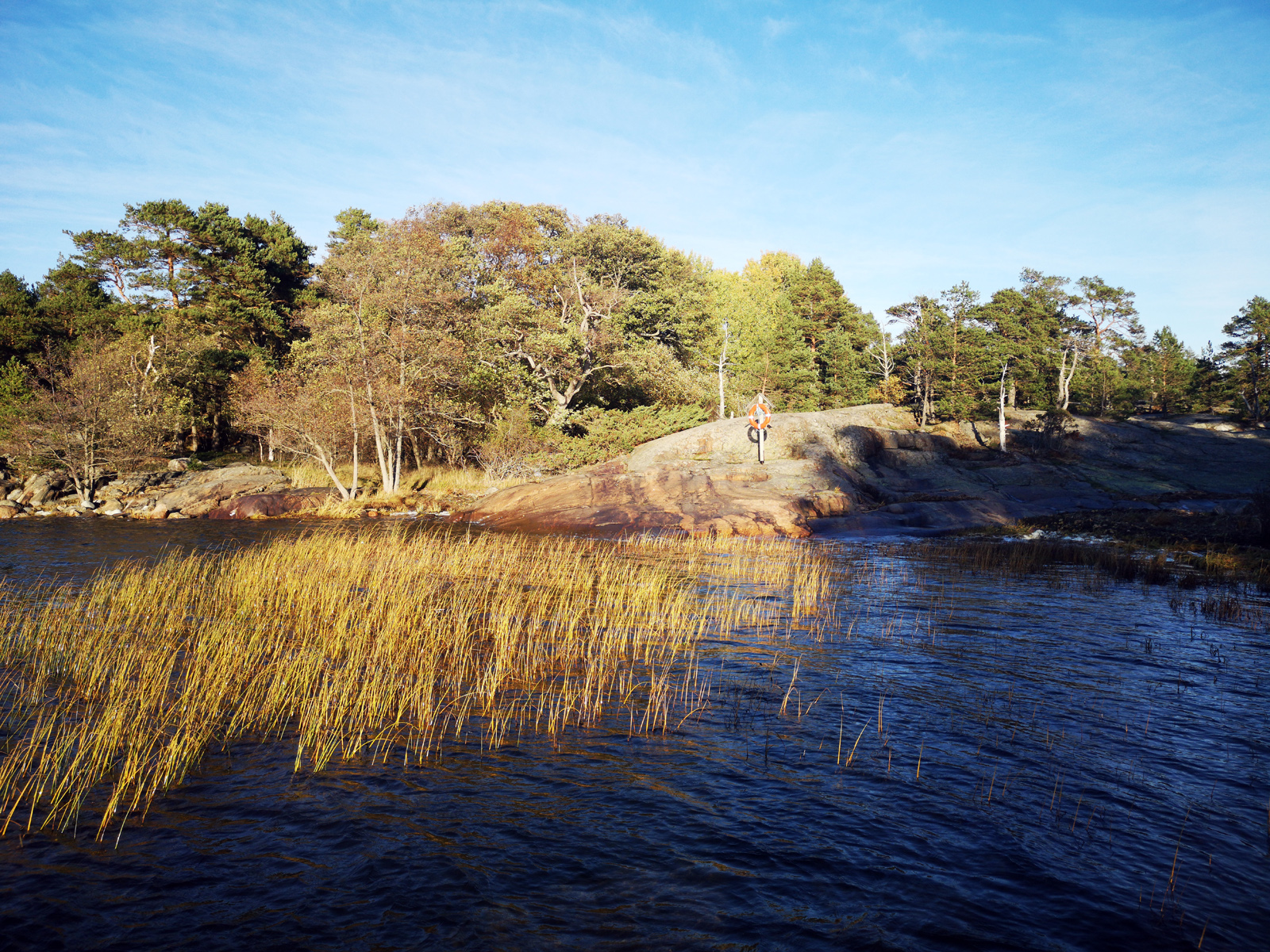
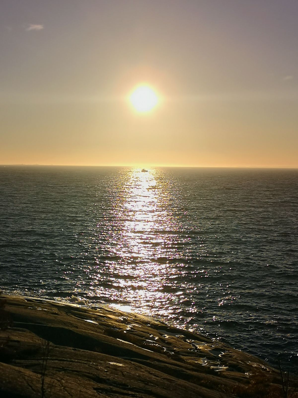
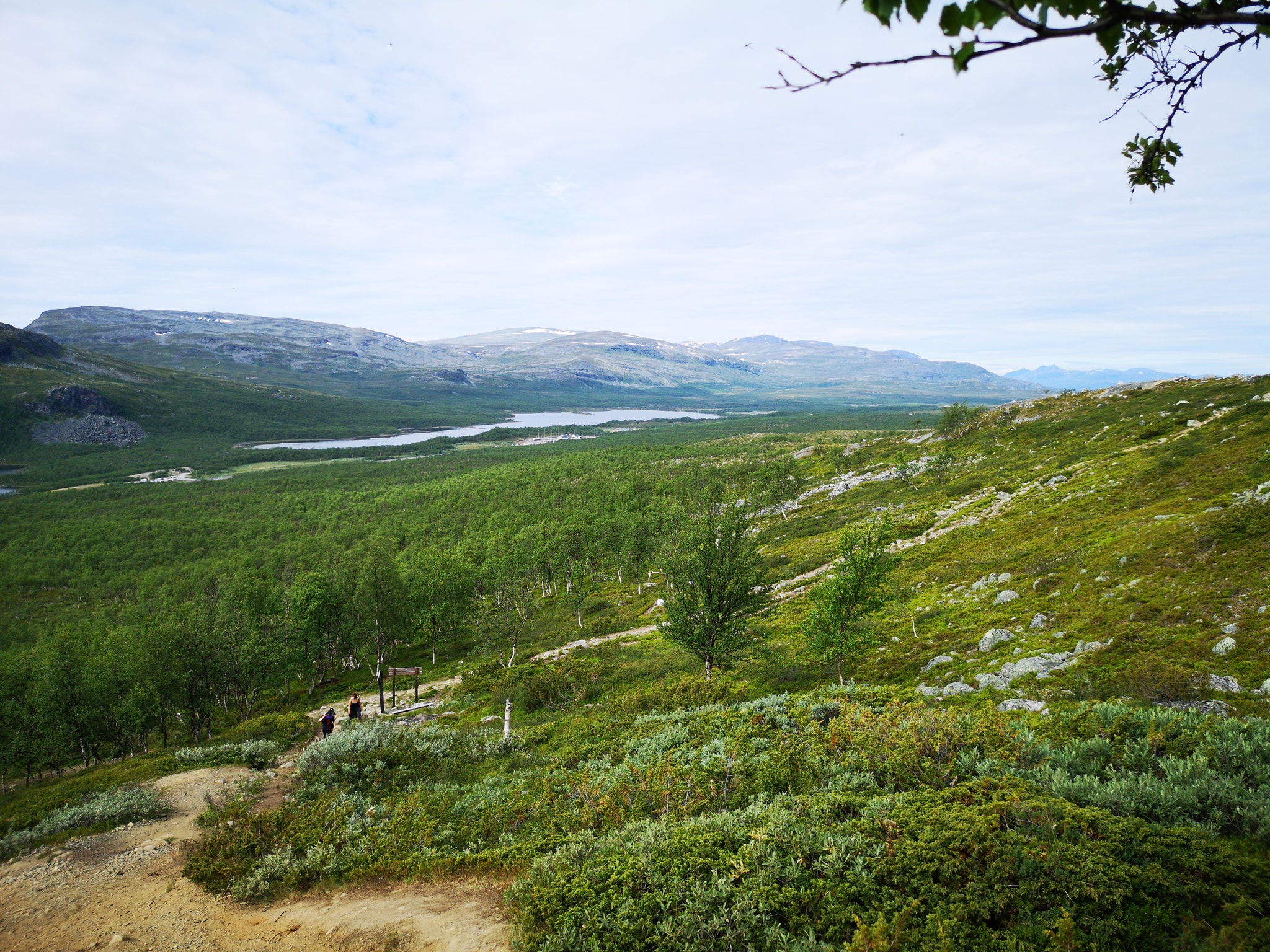

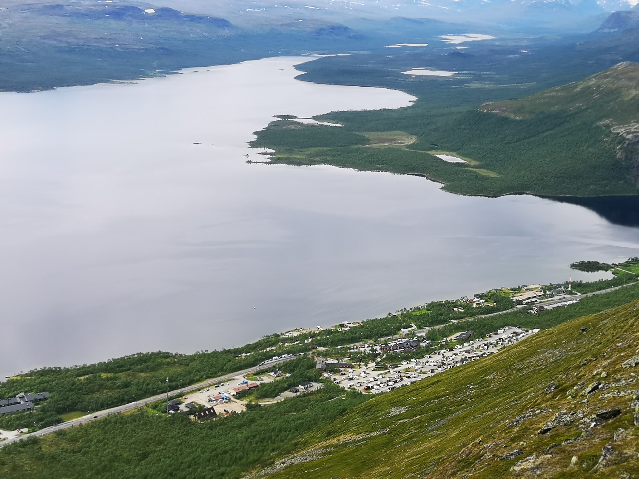


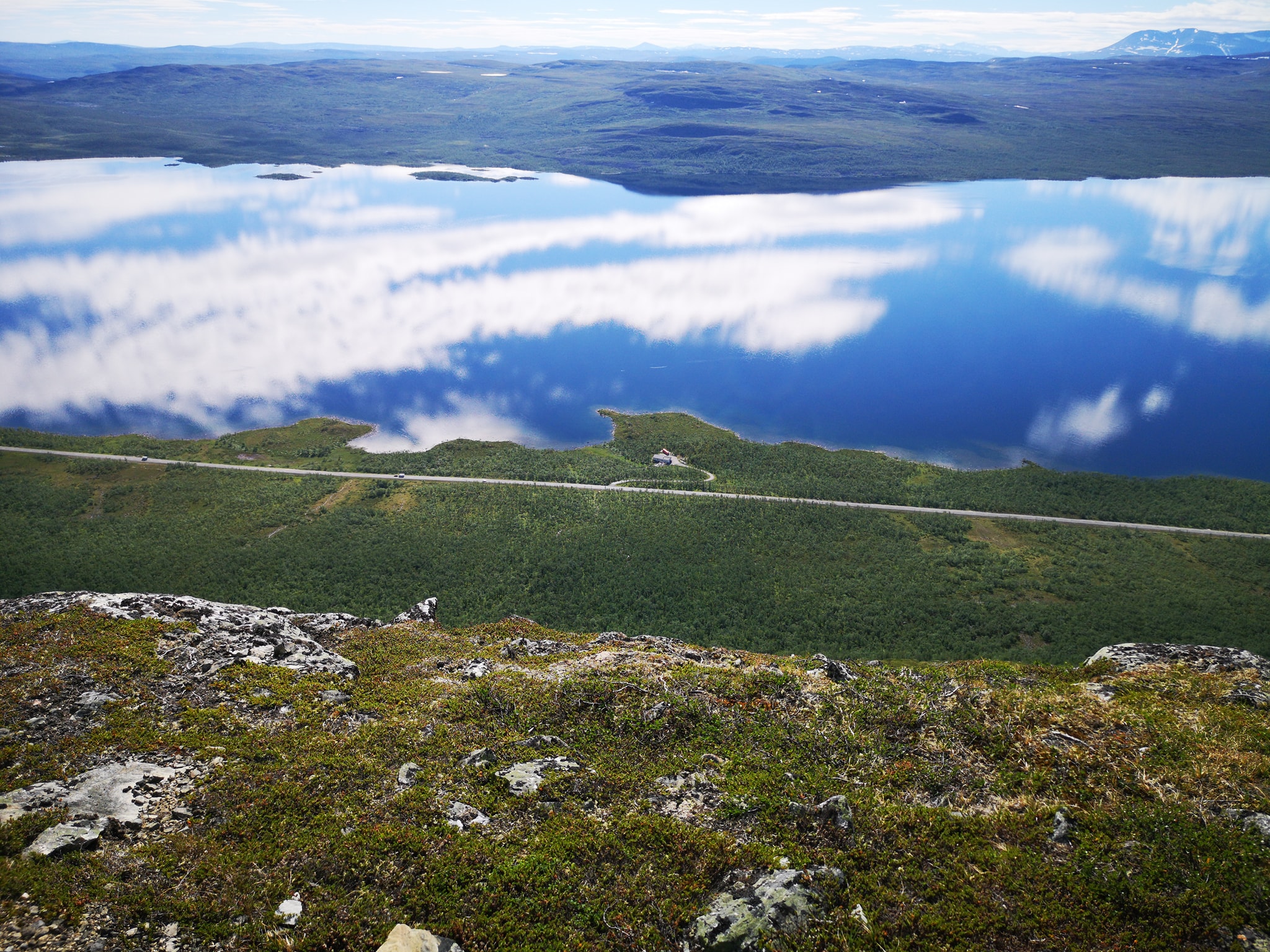
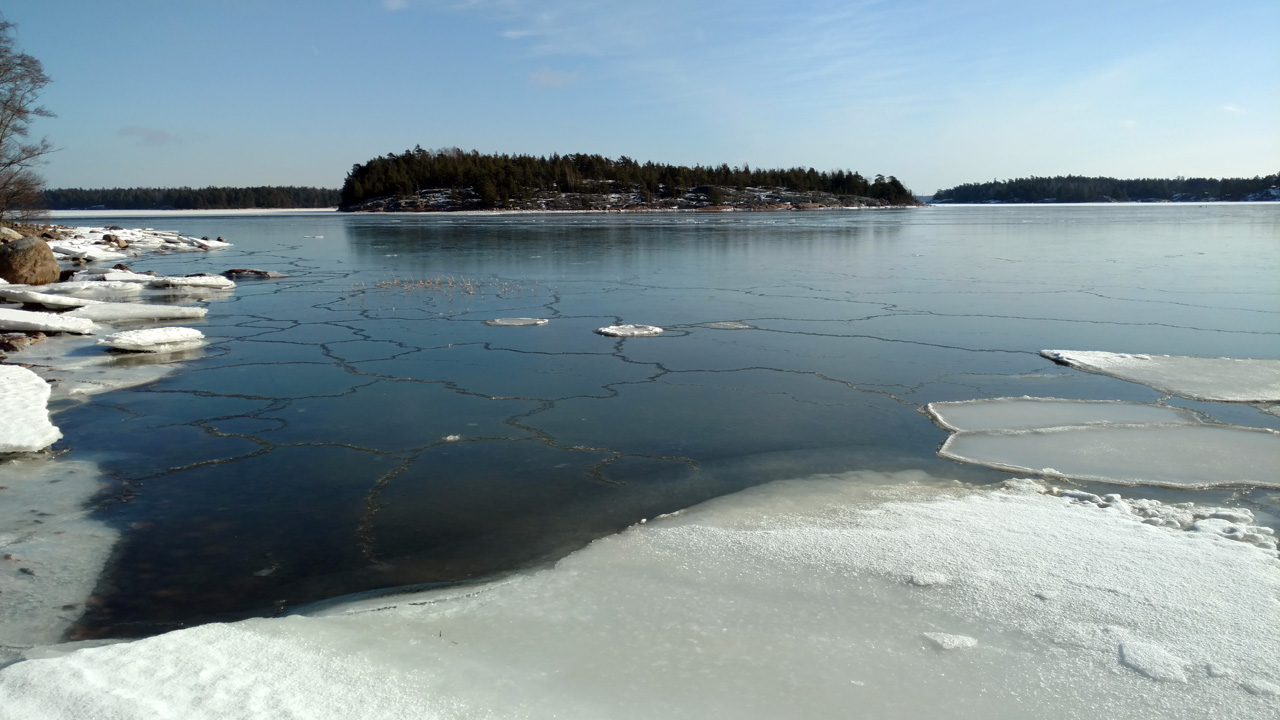
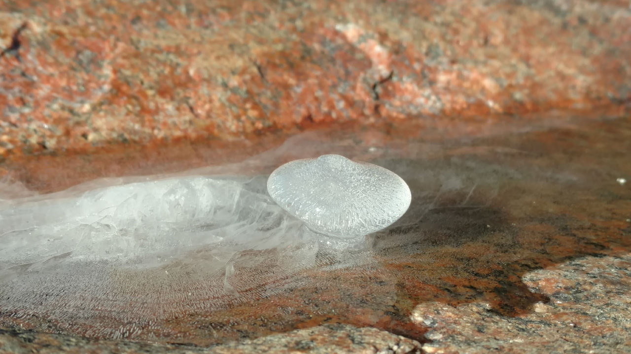
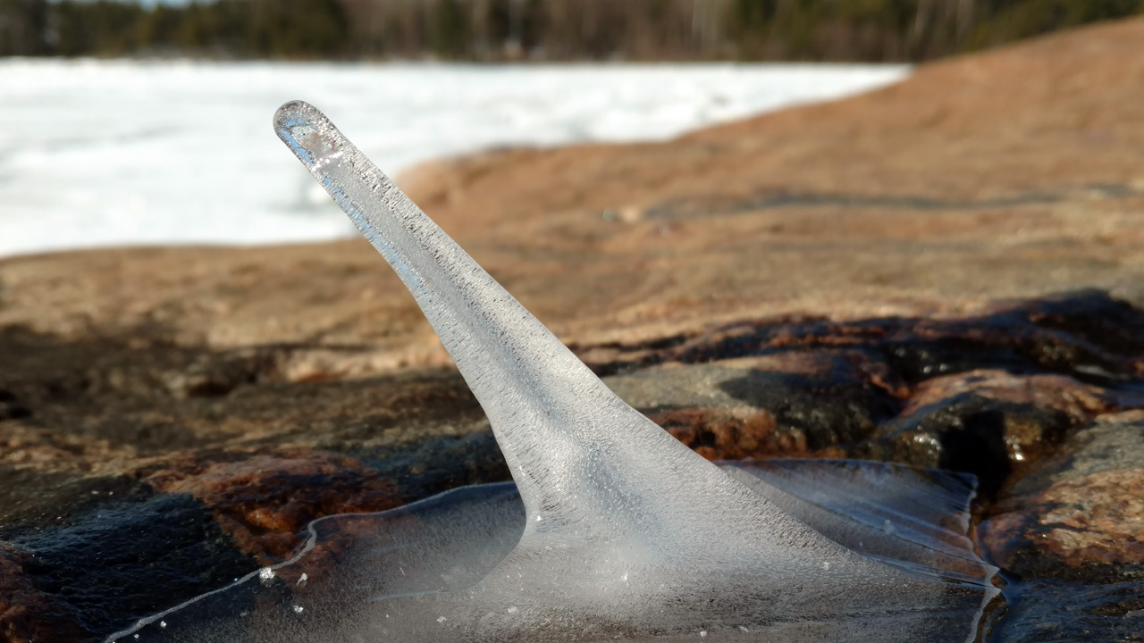
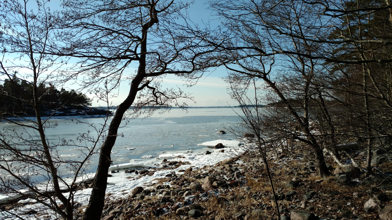 The weather was getting better and better and the views also were greater all the time!
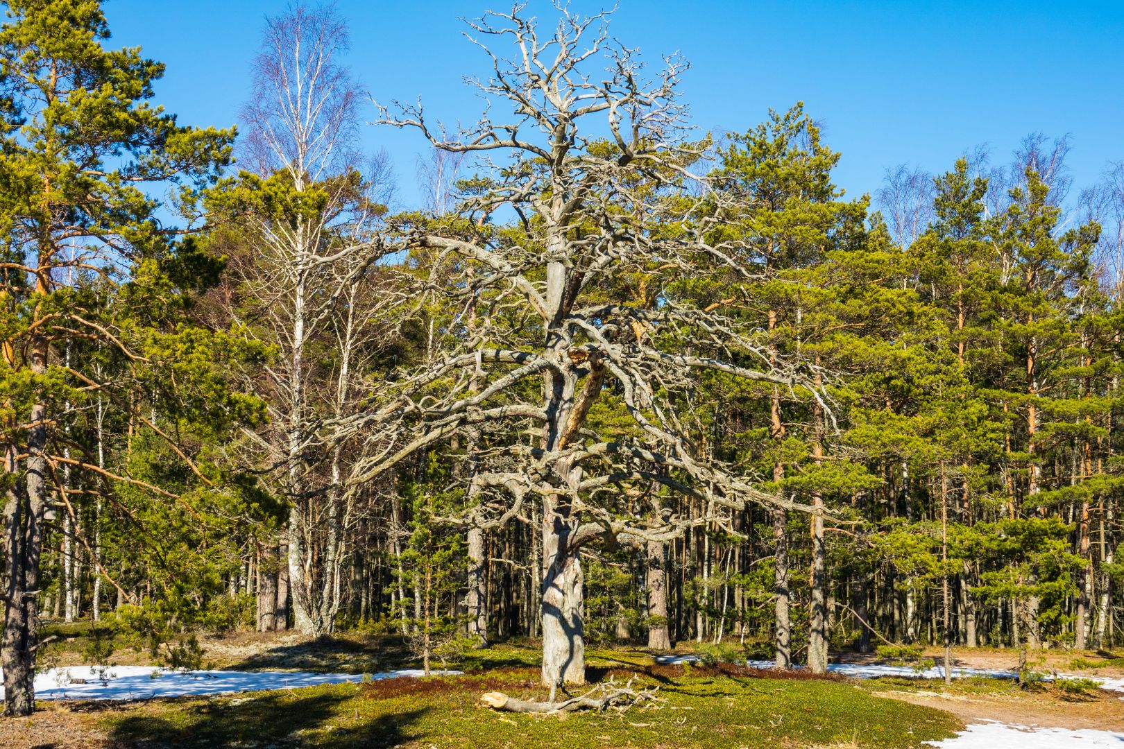
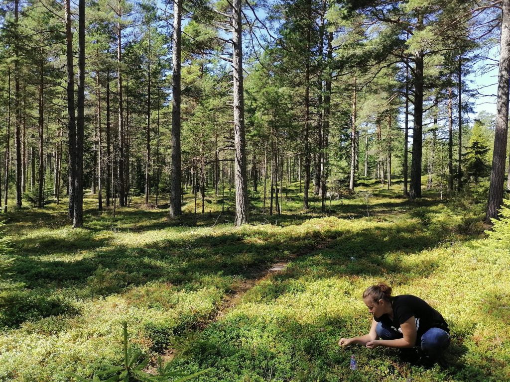