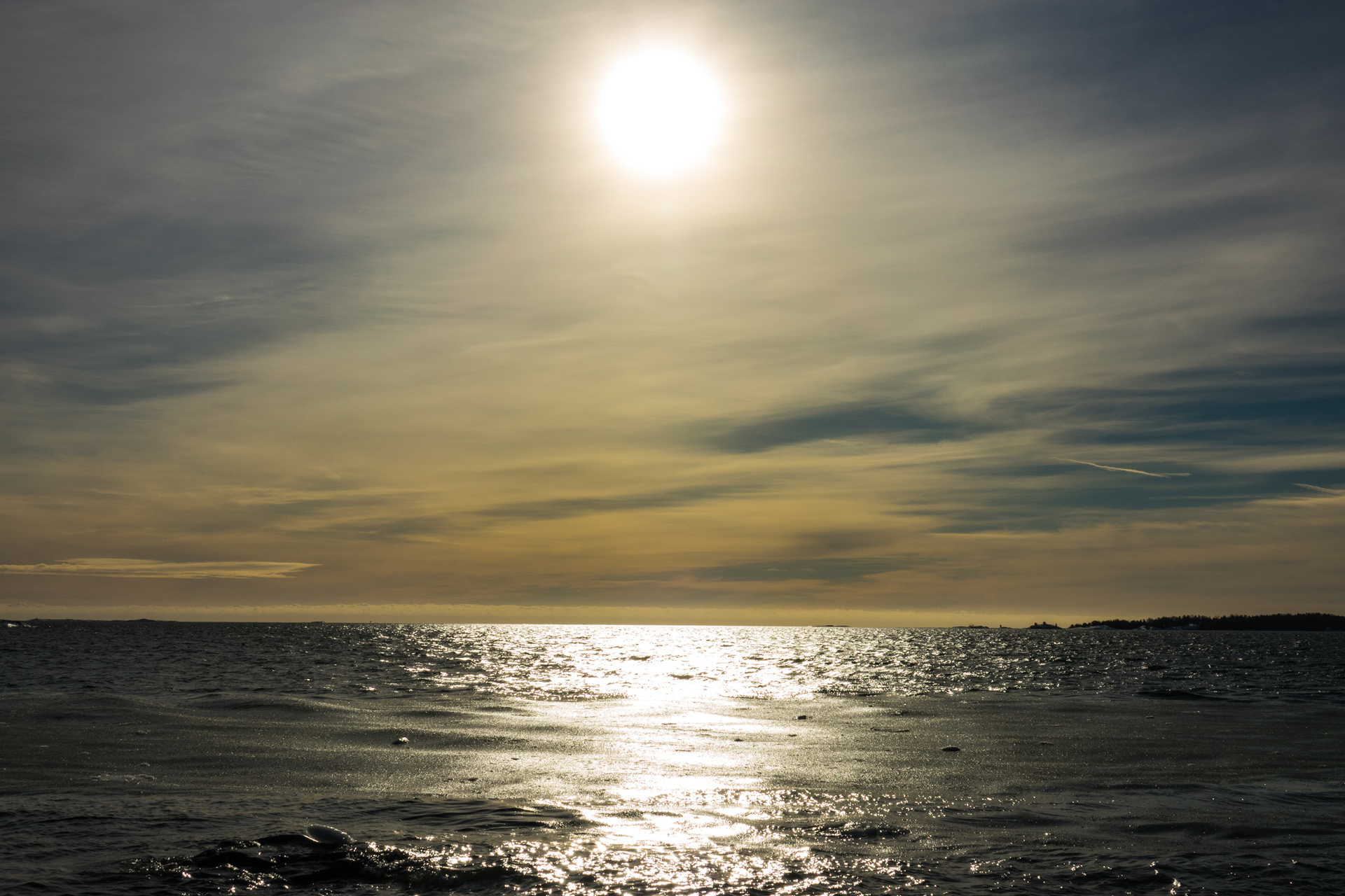
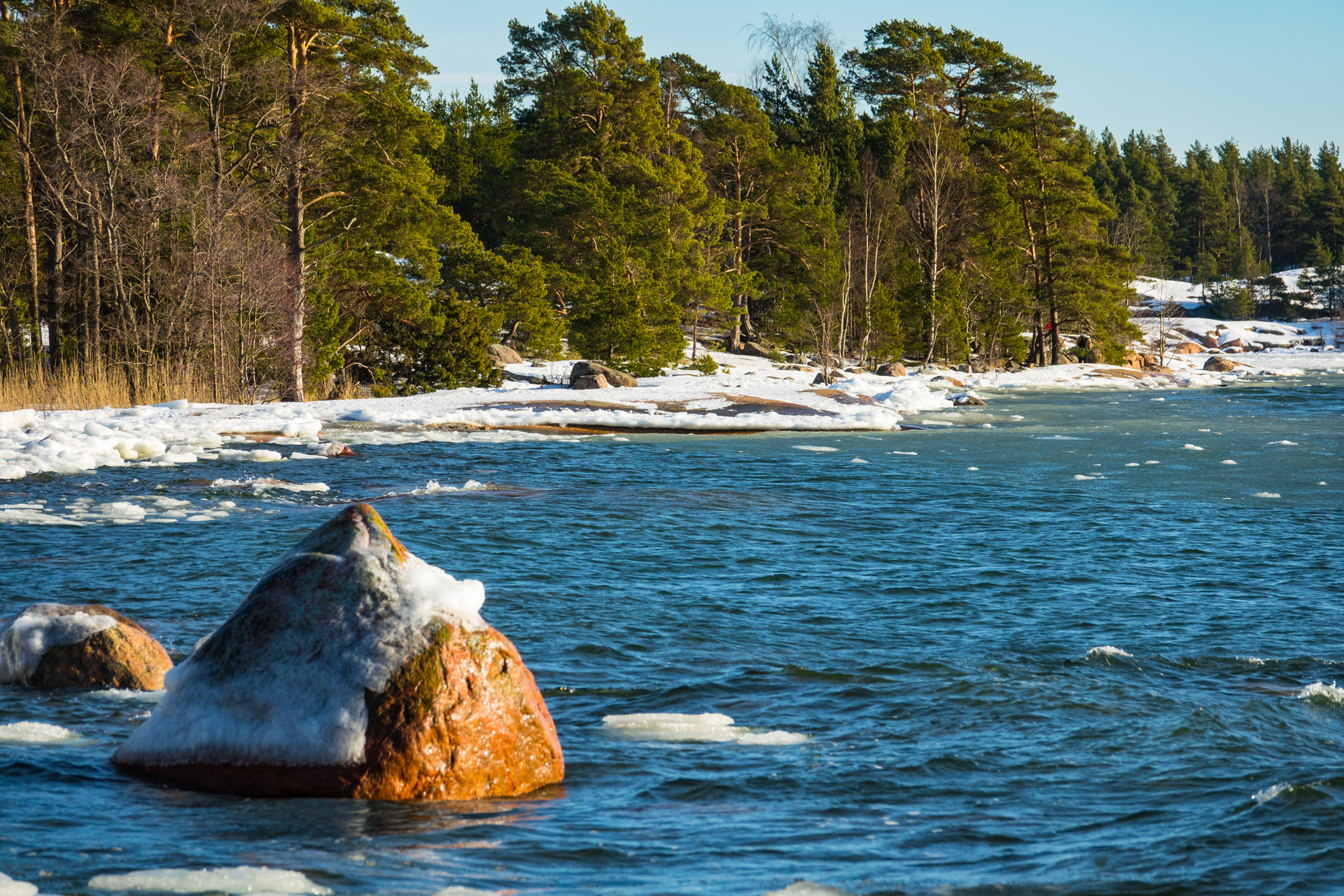
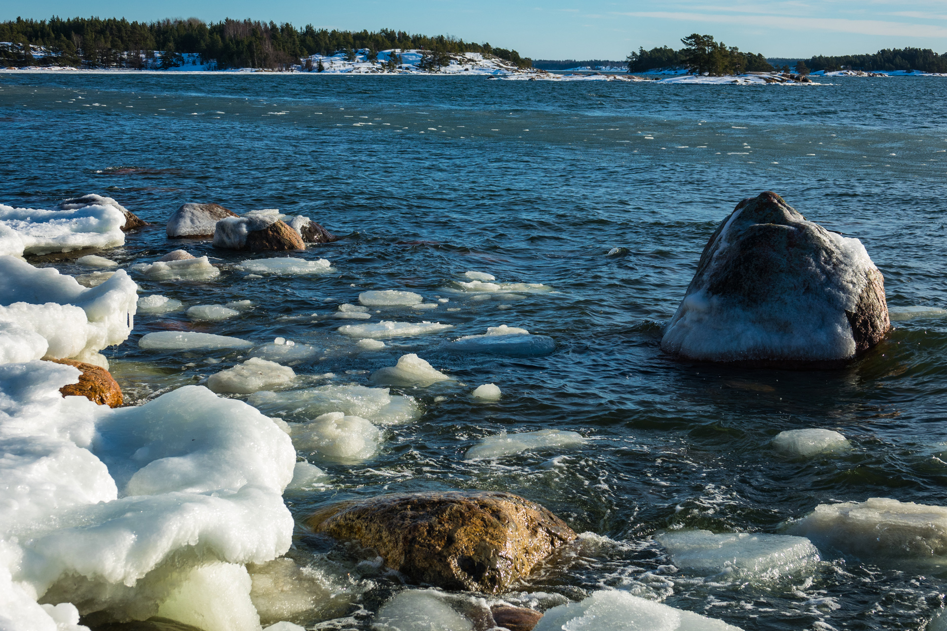
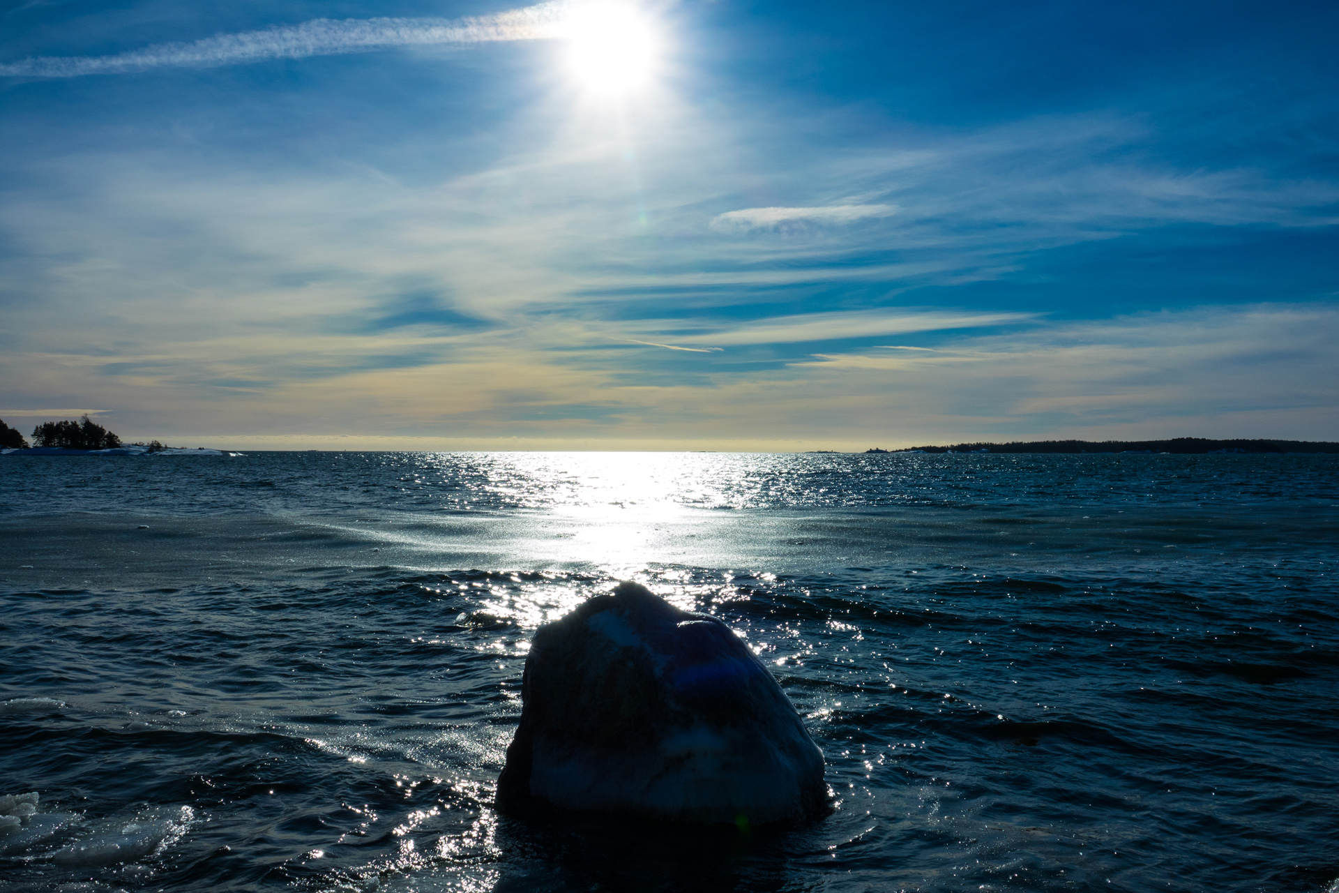
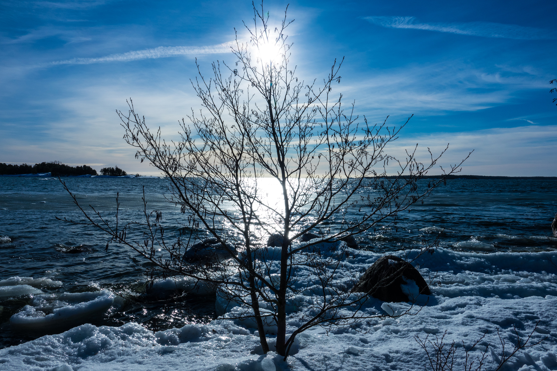
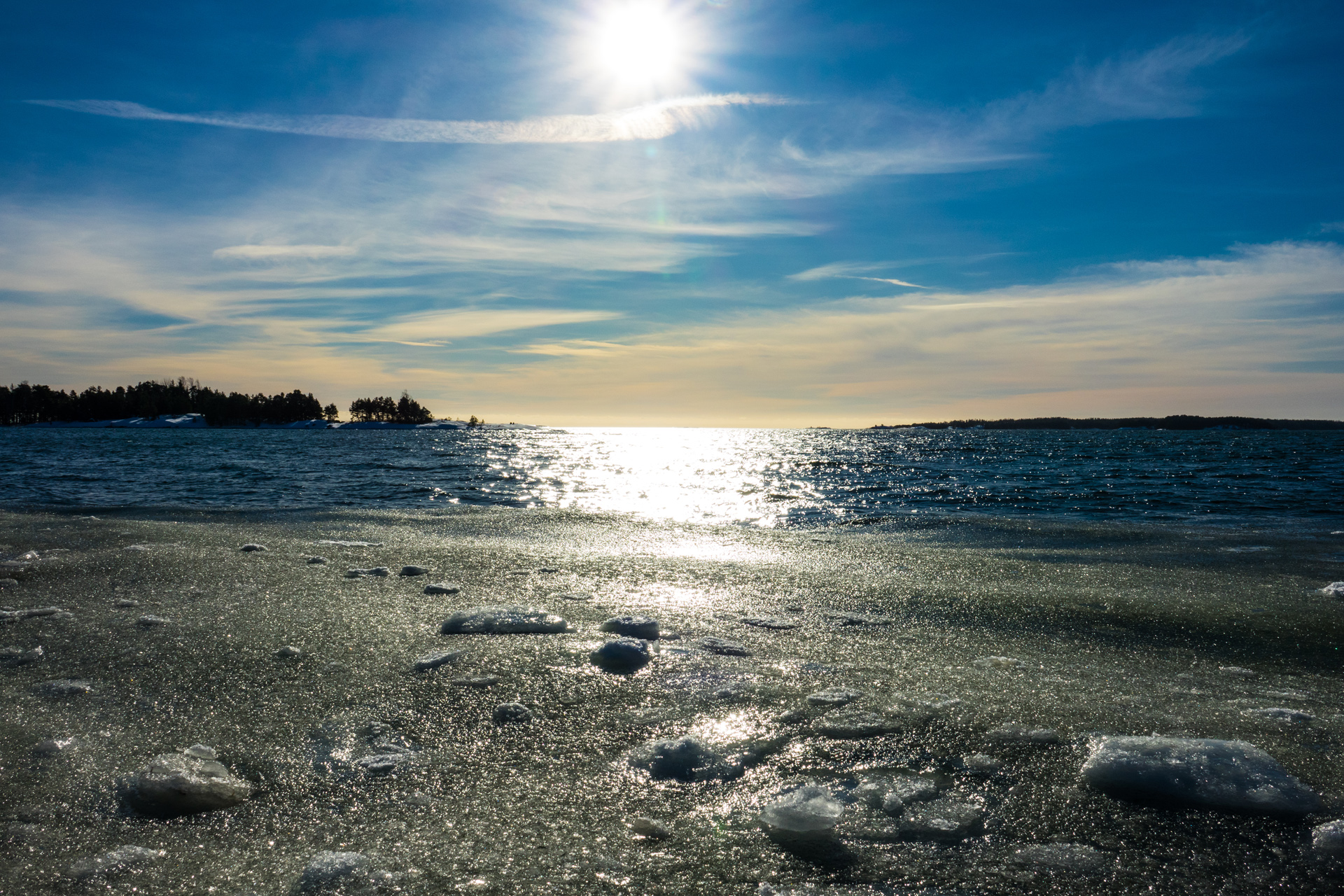
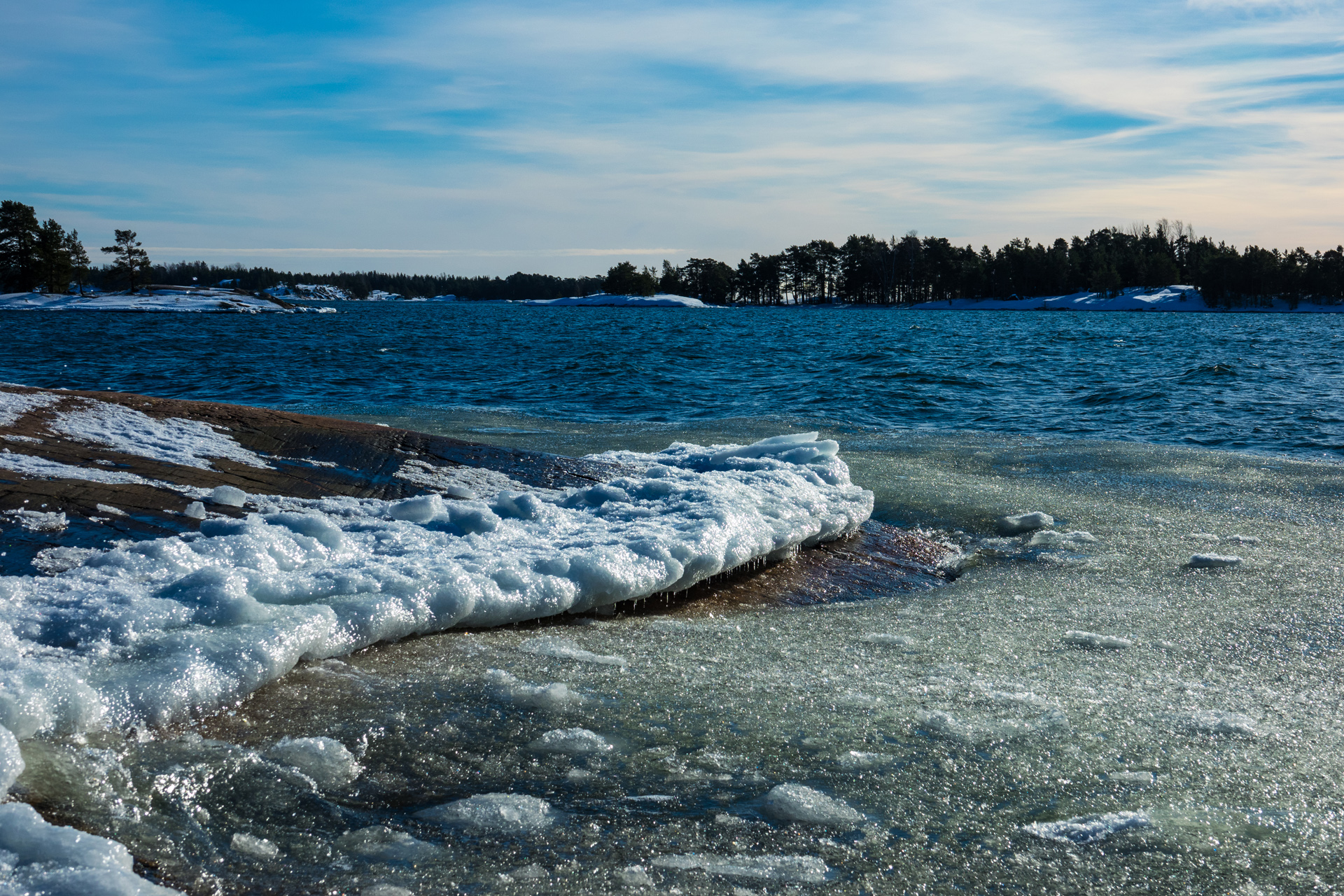
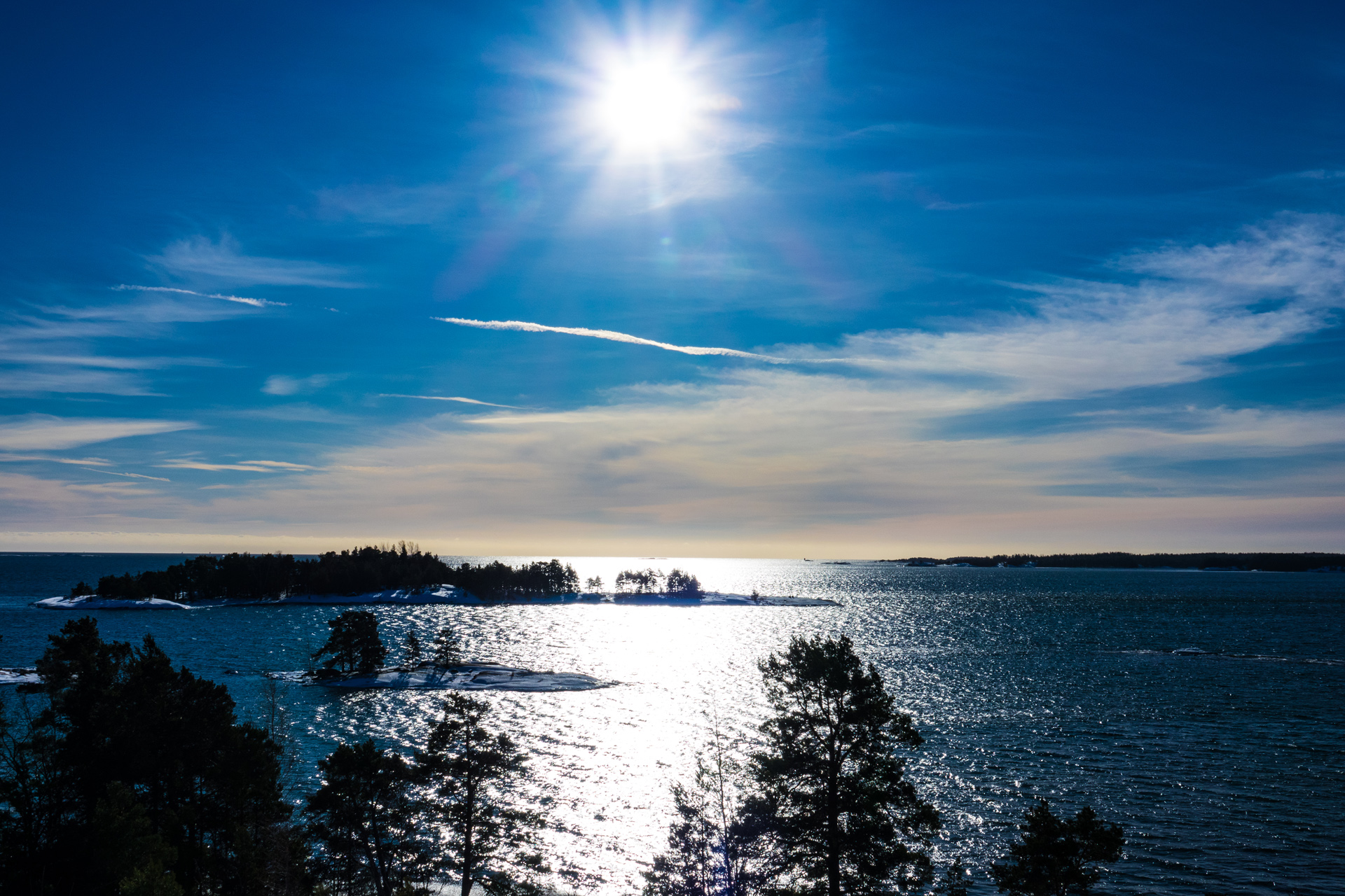
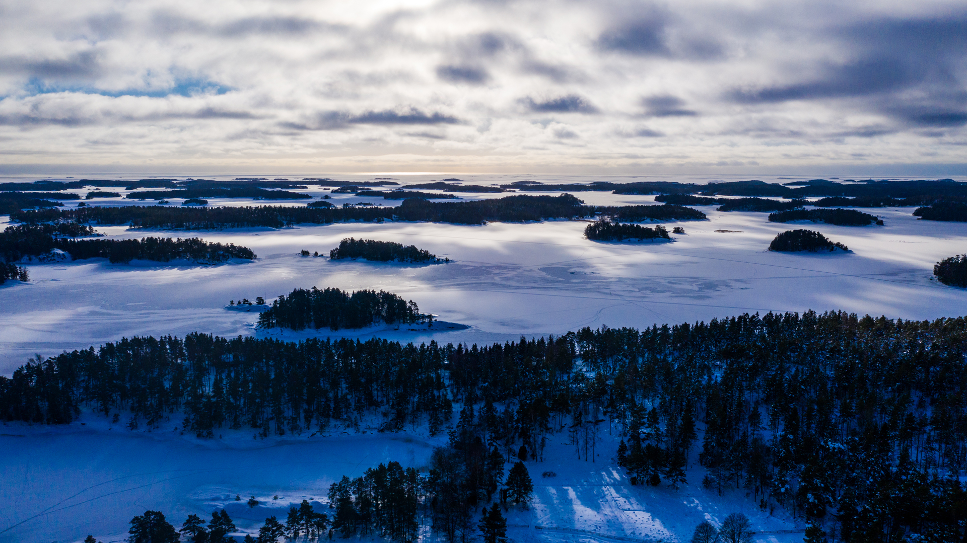
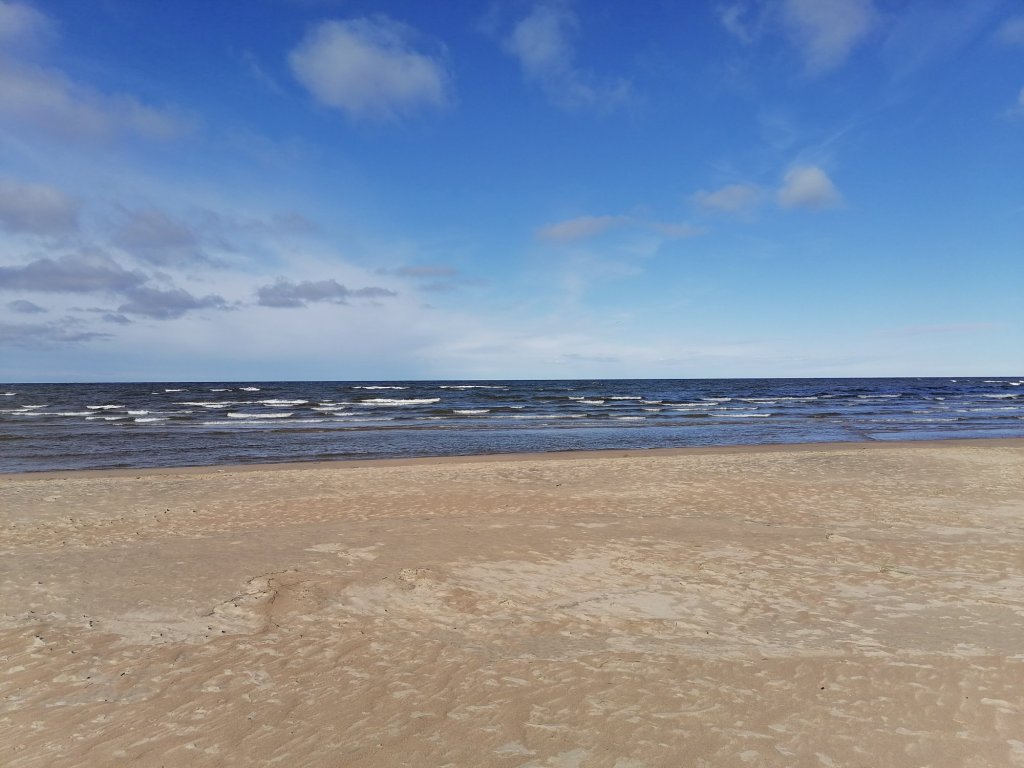
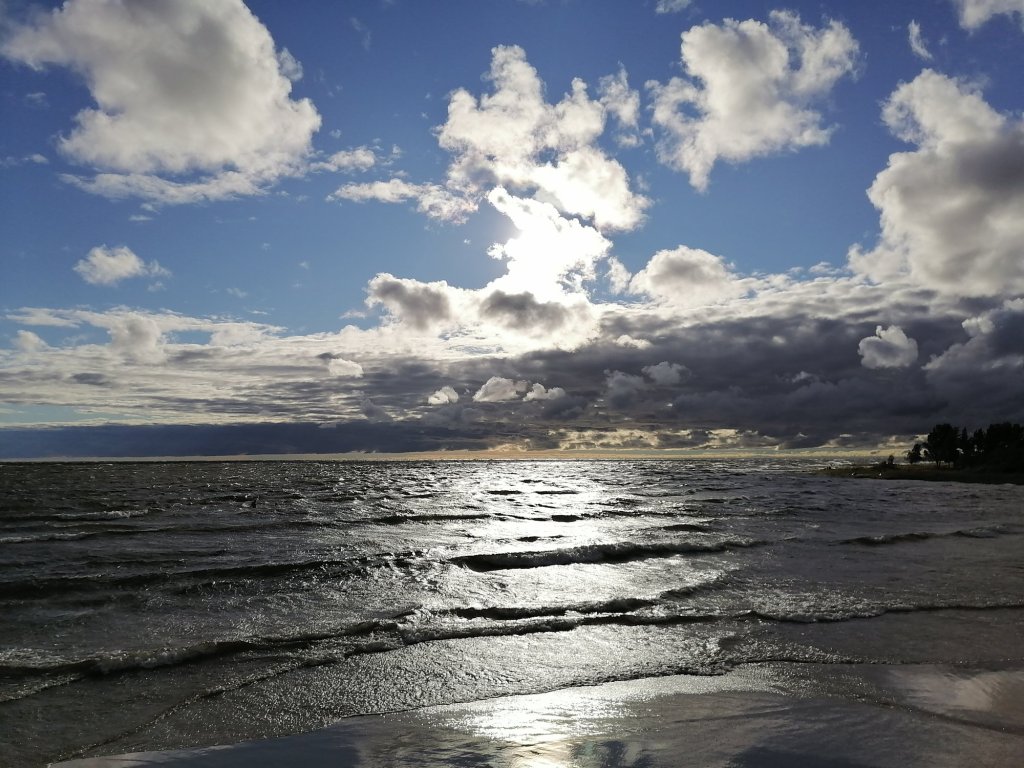
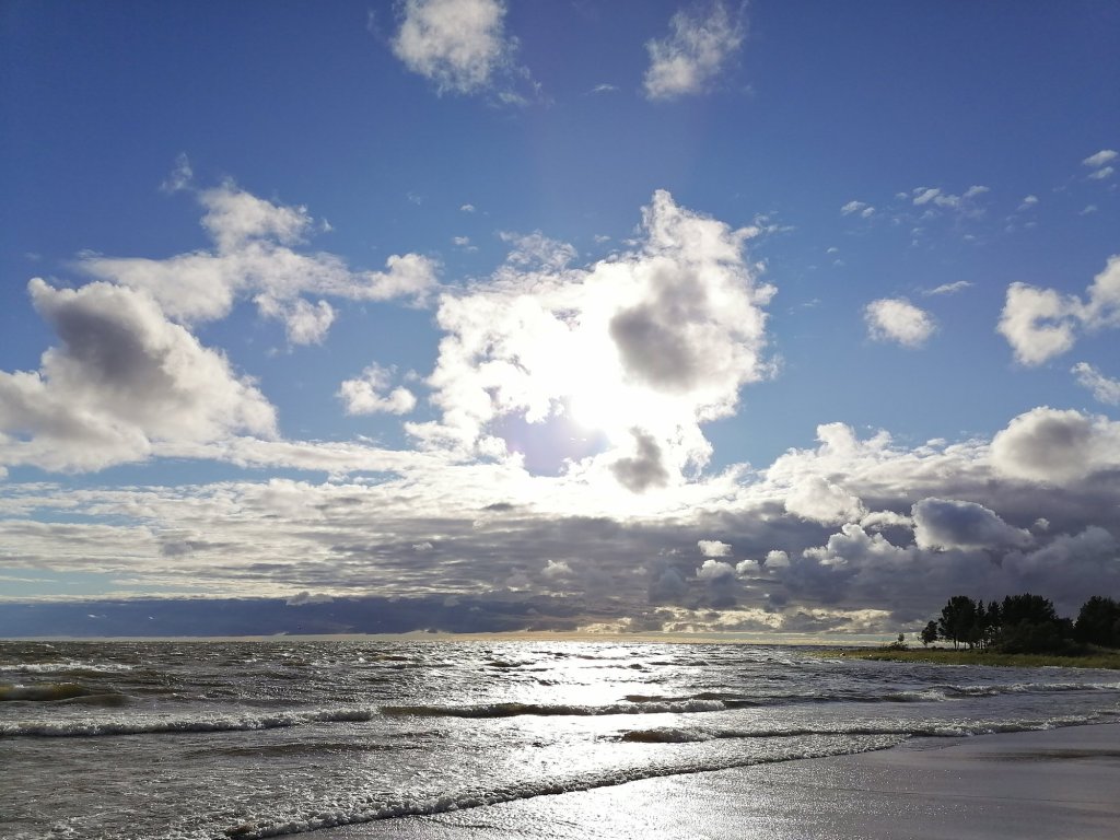
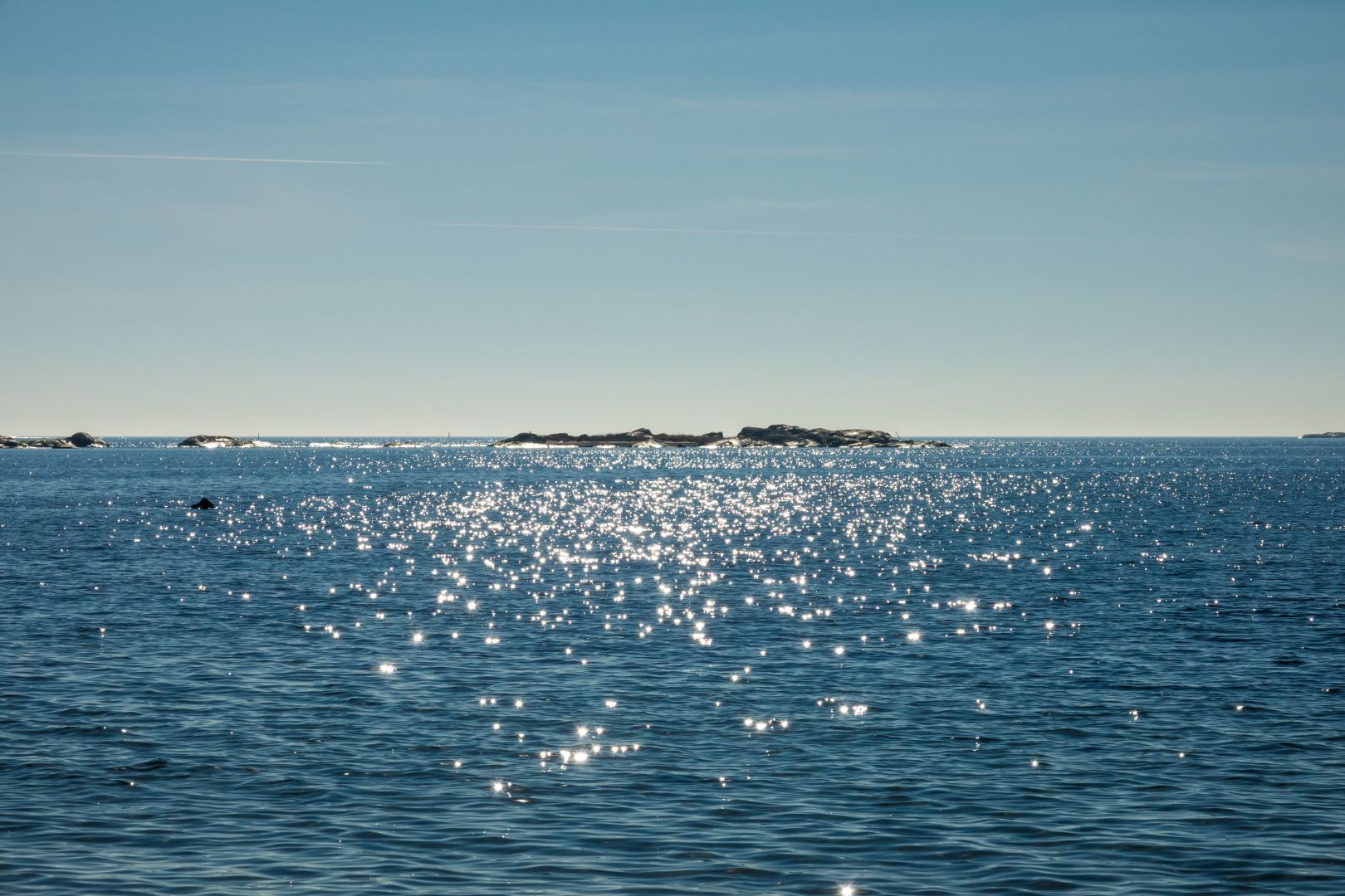
Yes! We’ve had so many nice sunny days so far and we really have been enjoying the spring.
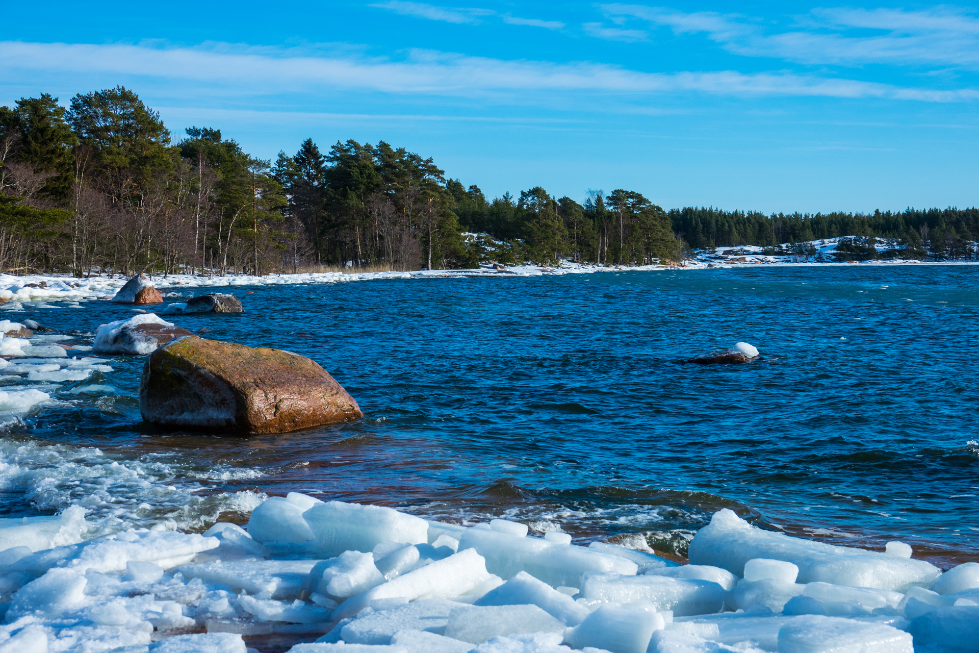
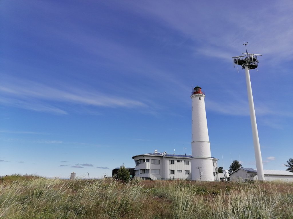
And it’s been coming fast. In Hanko (The most southern town of Finland) there’s almost no snow anymore!
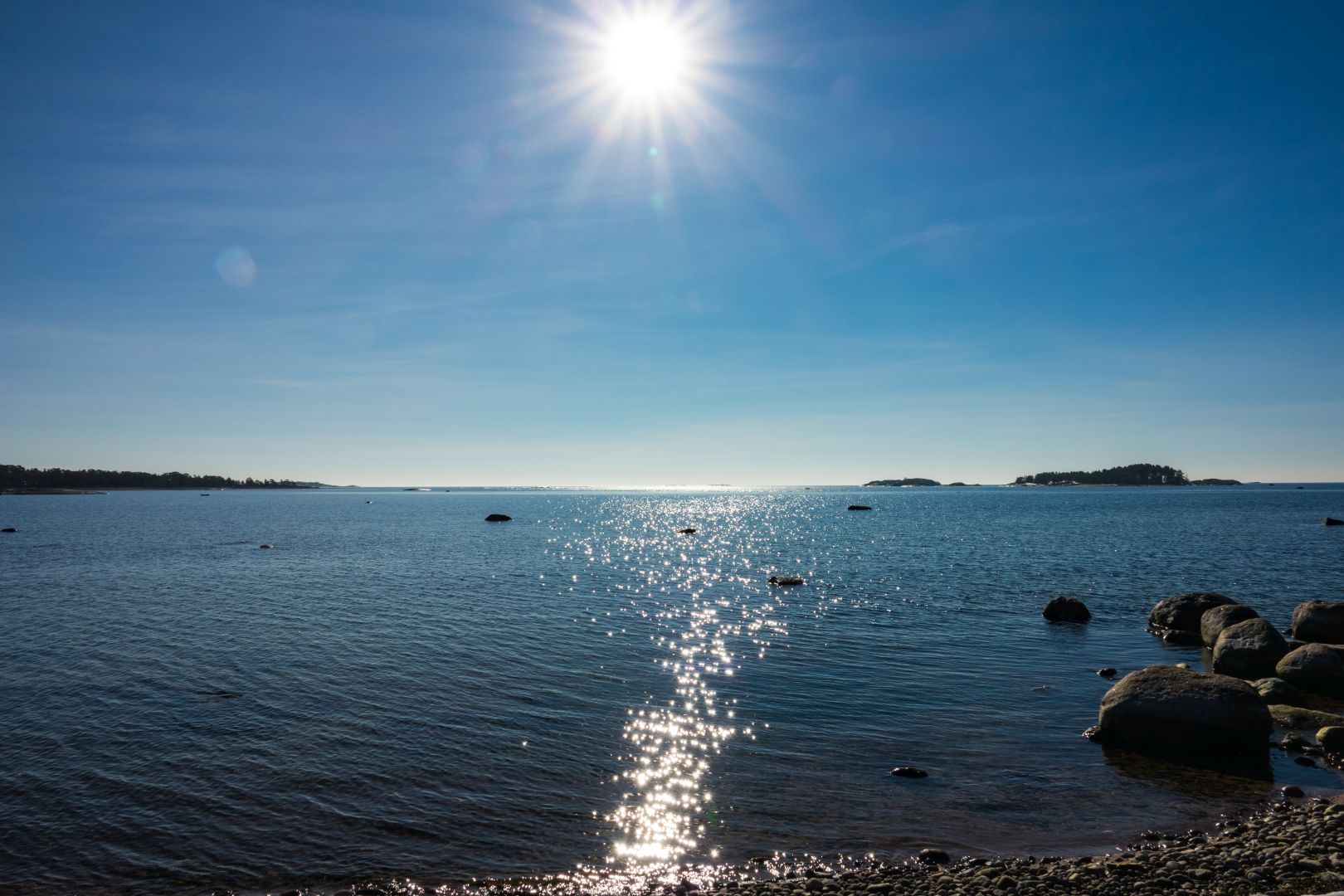

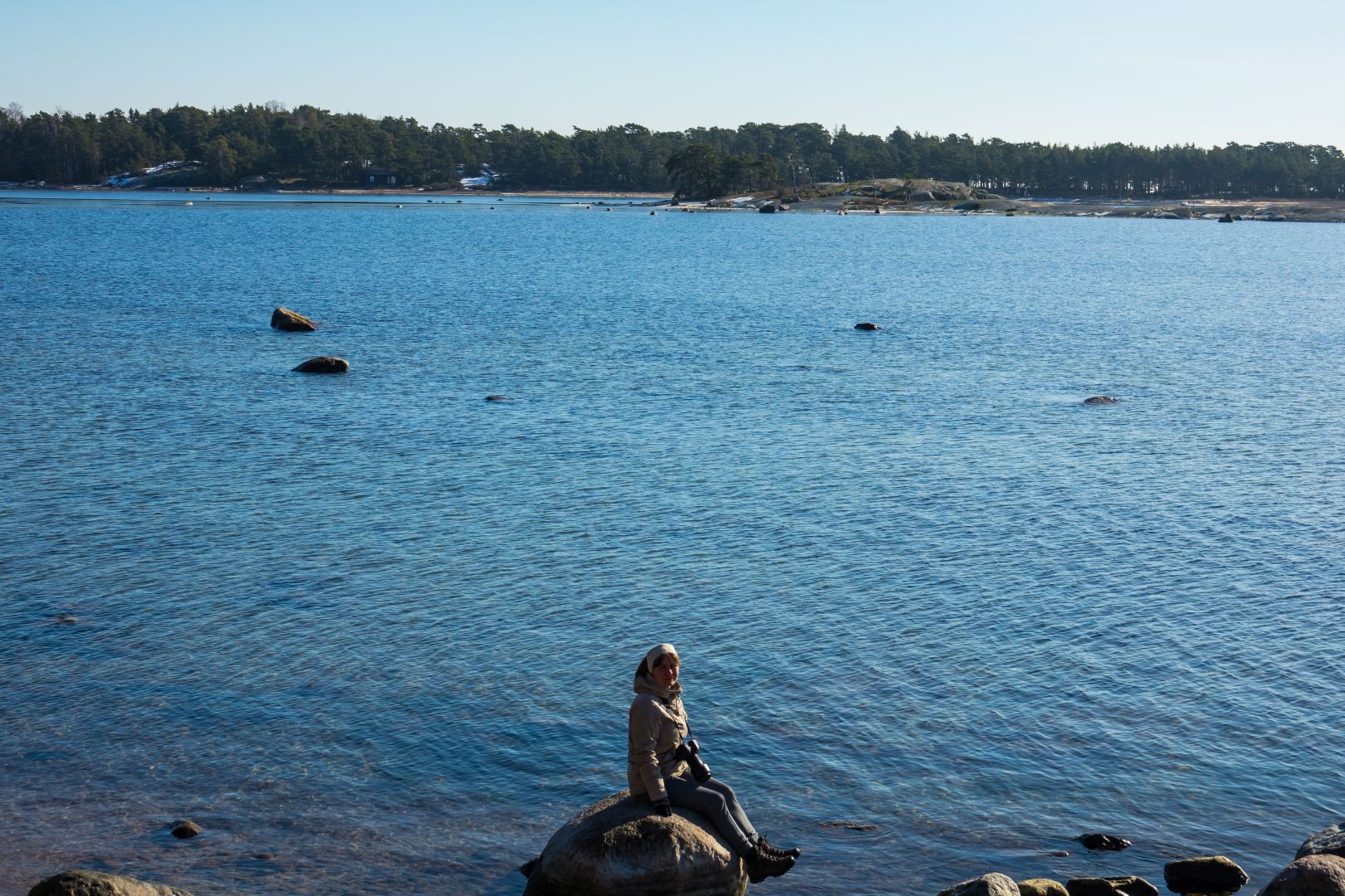
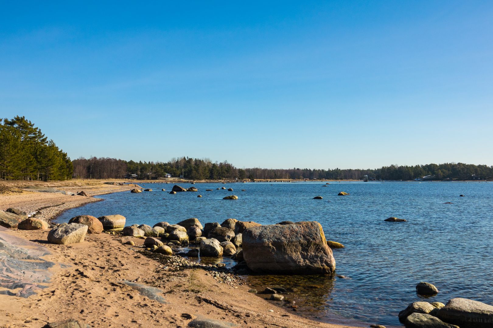


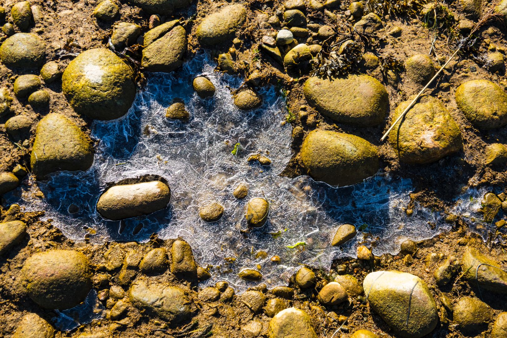
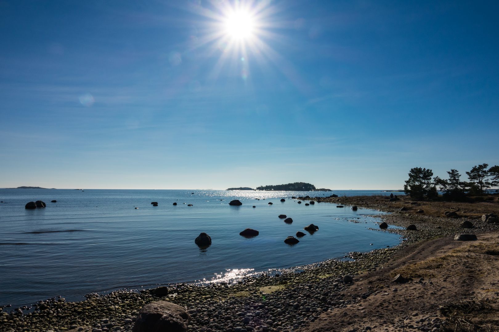

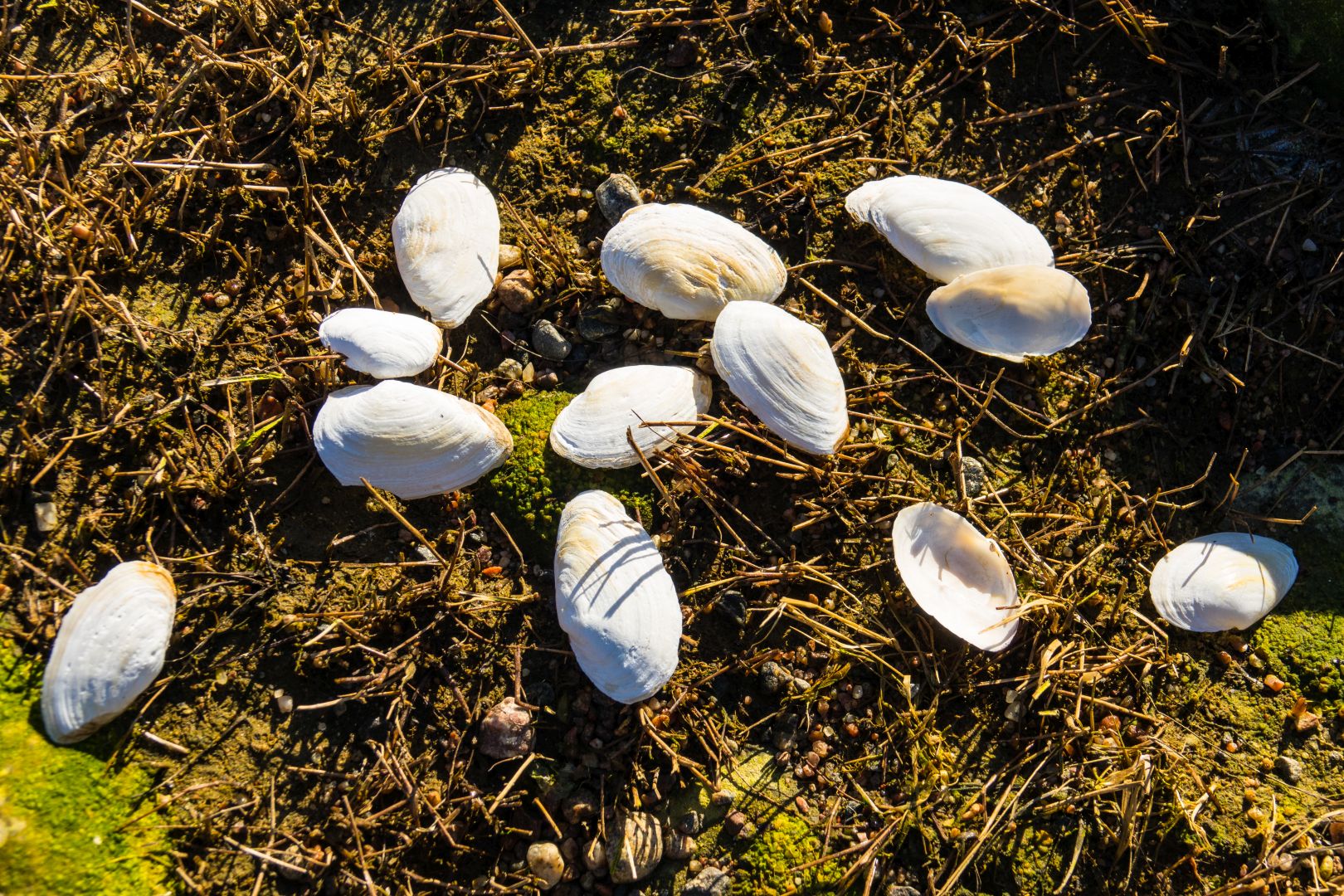
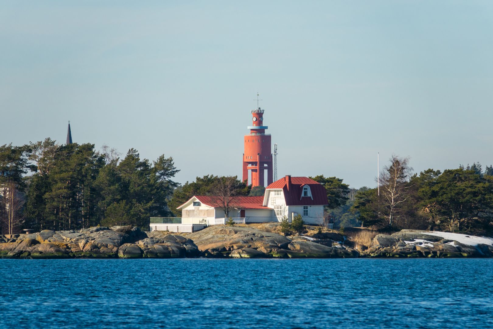
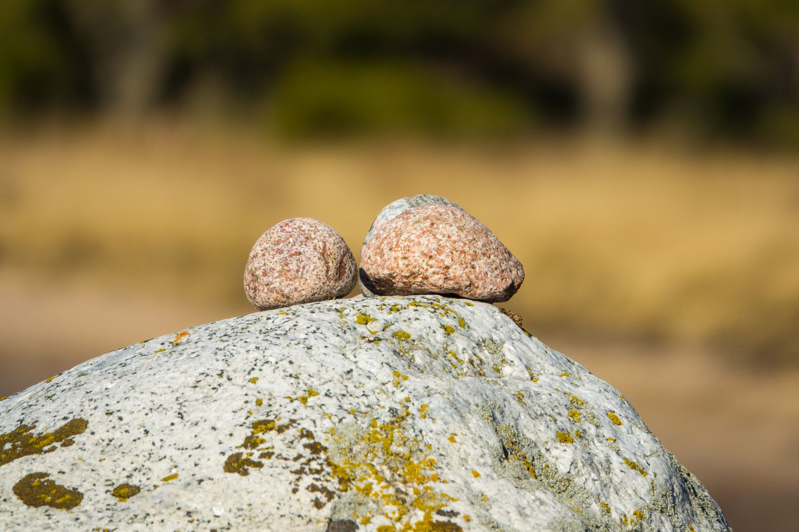
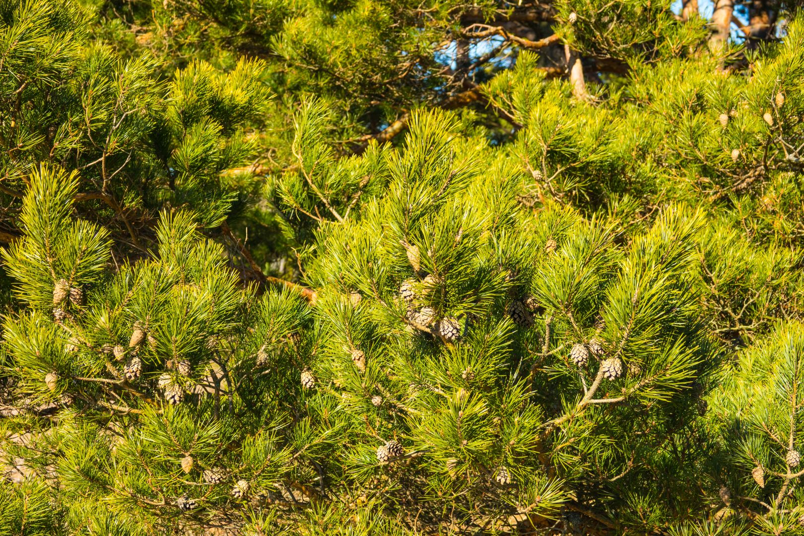
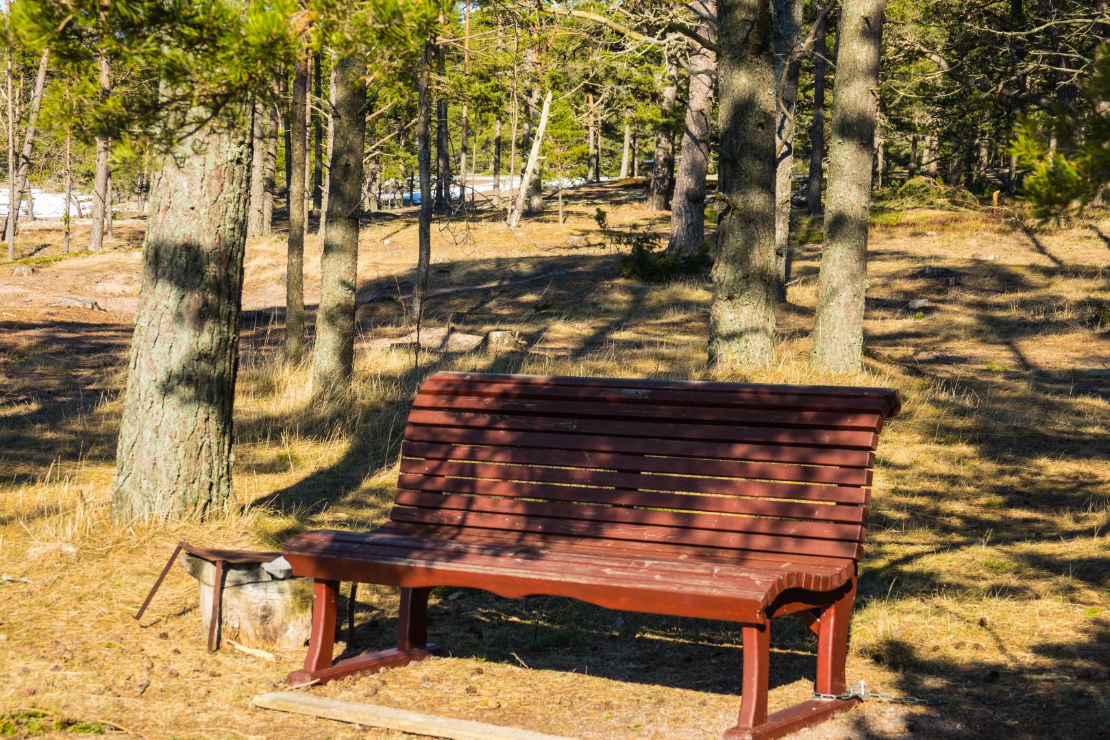
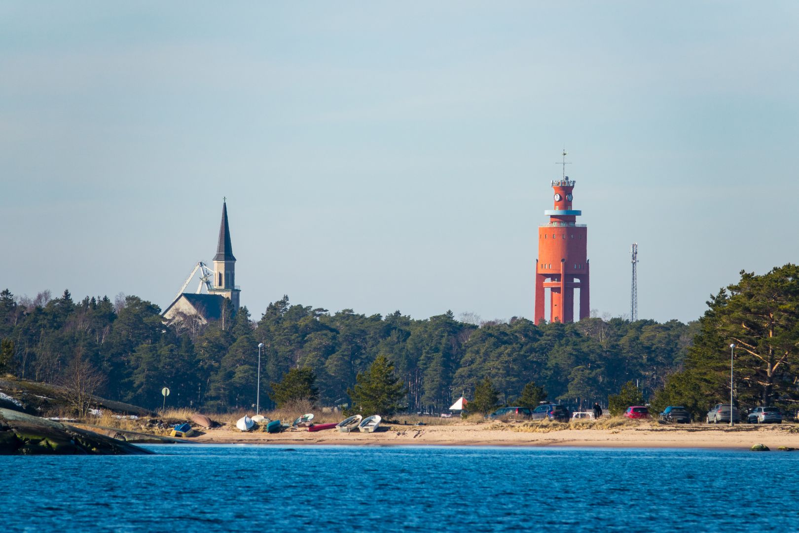
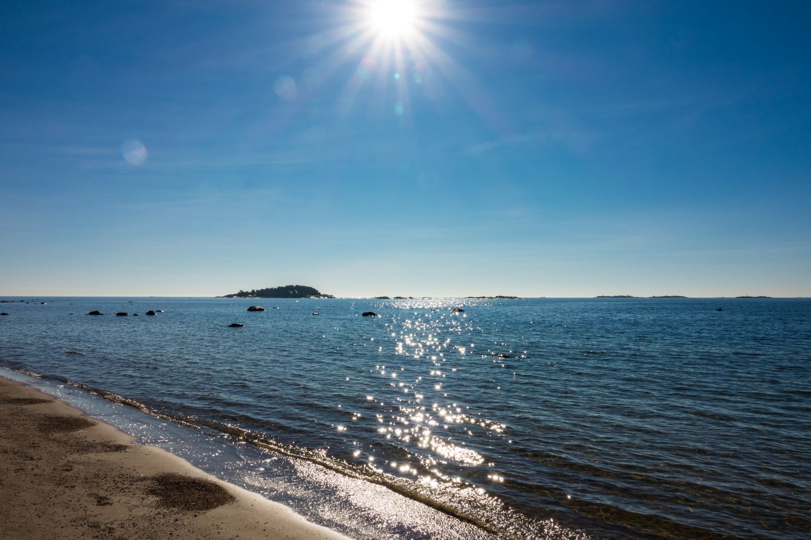
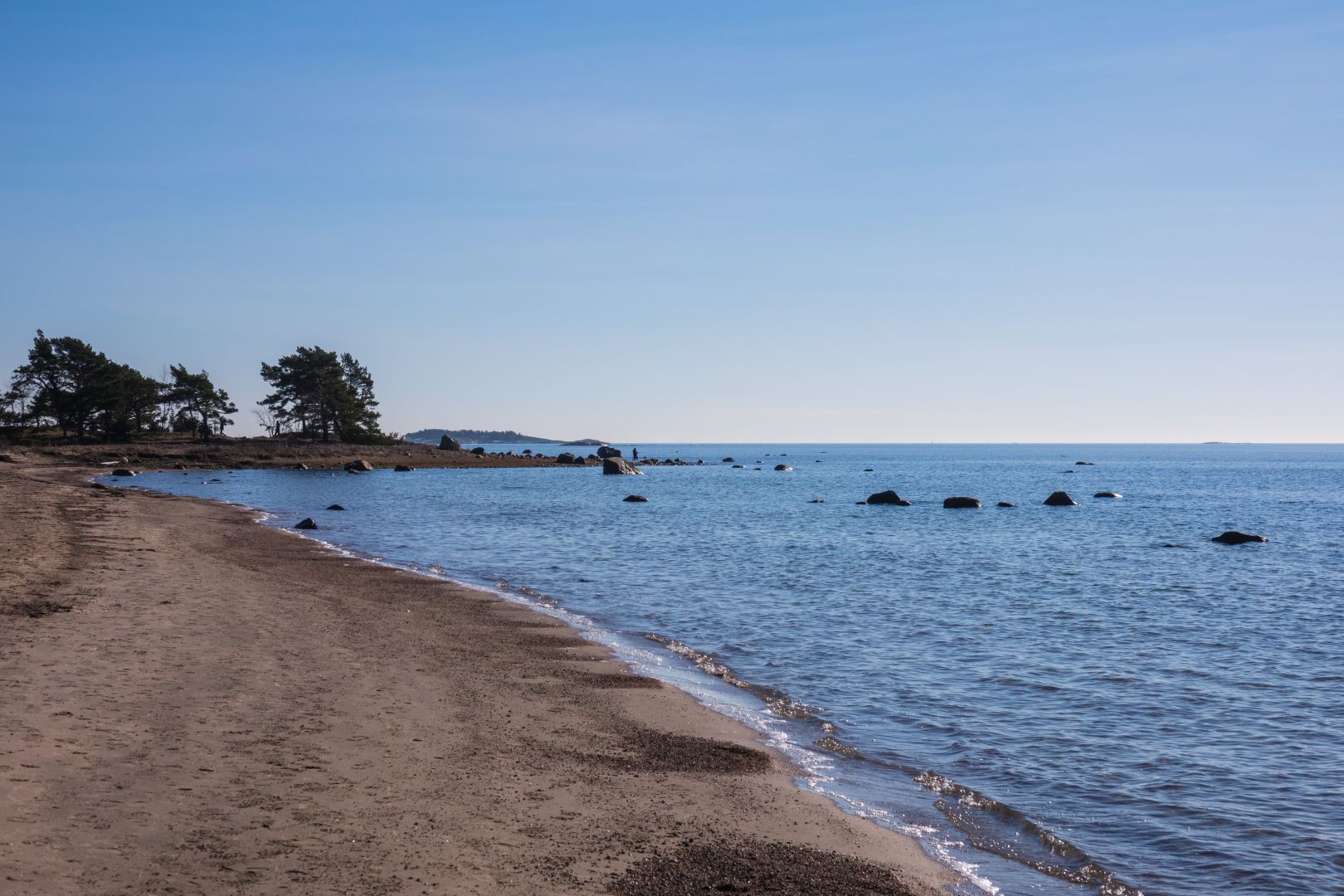
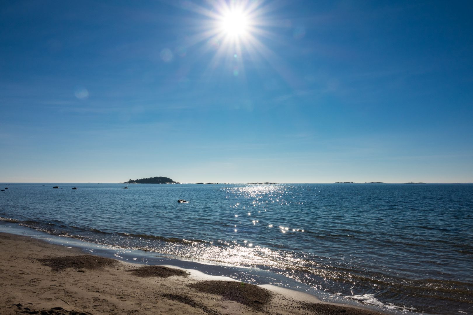

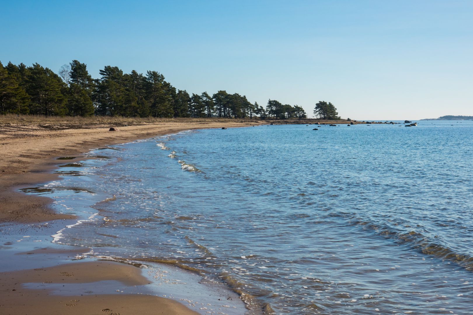
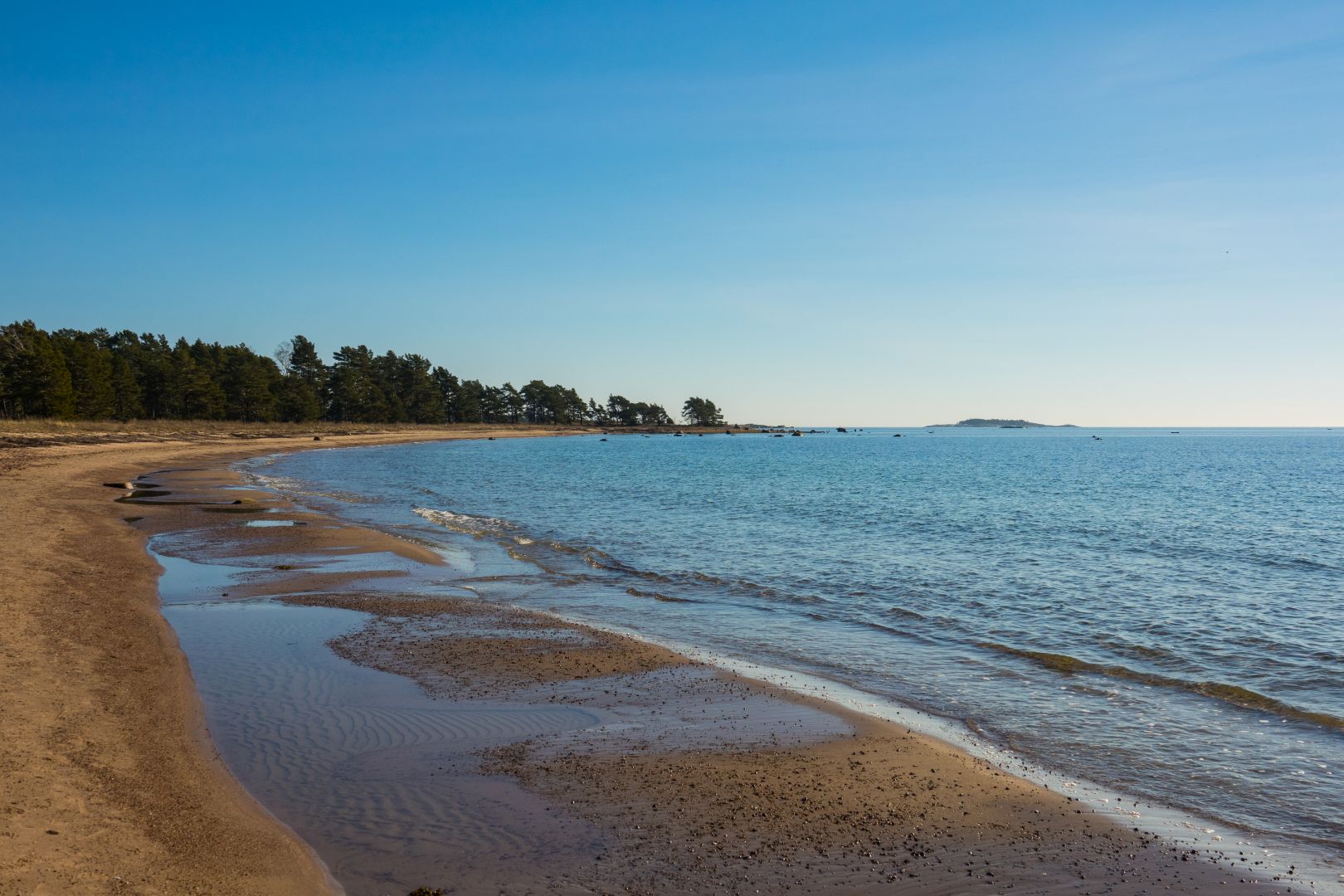
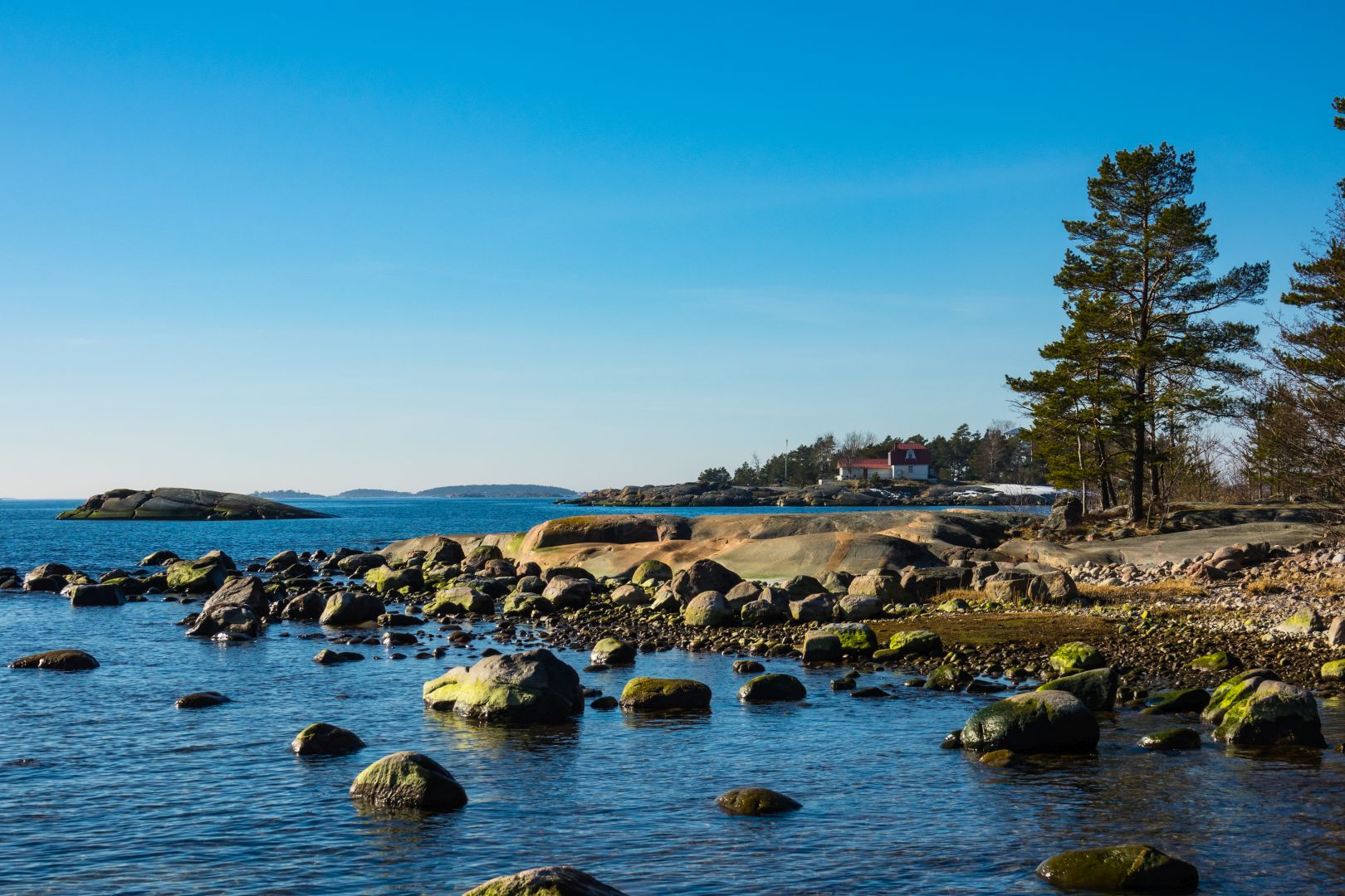
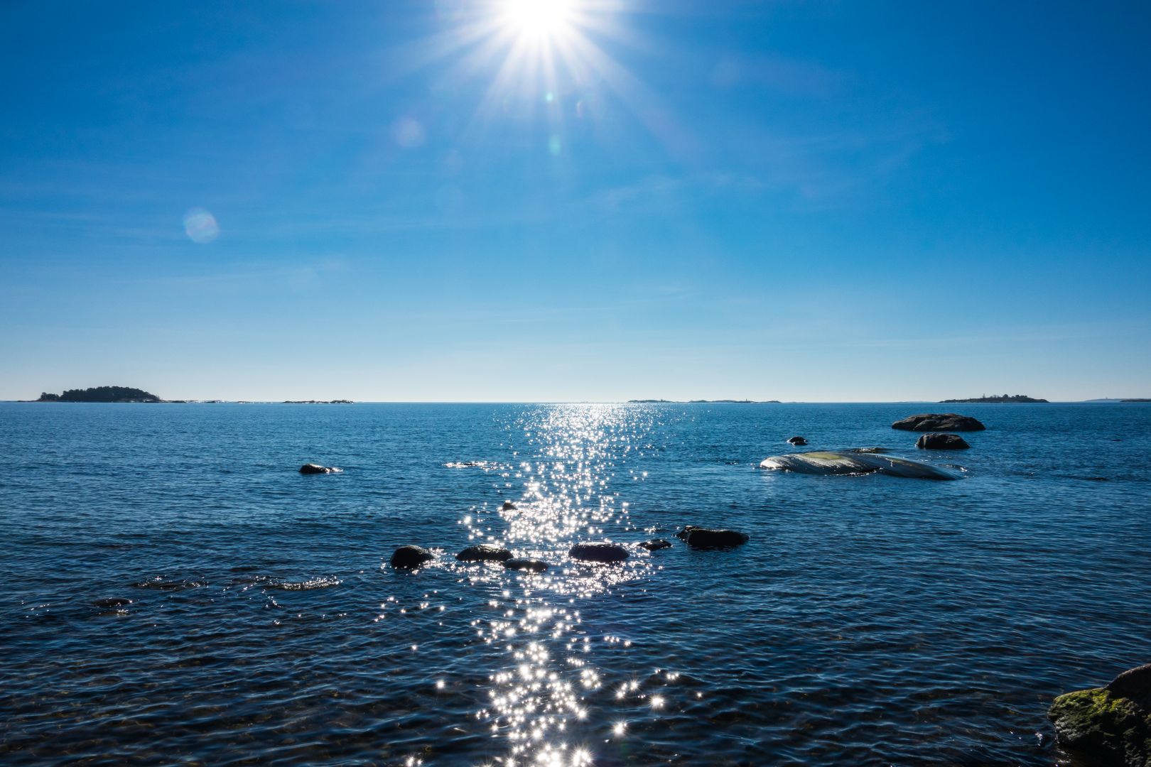
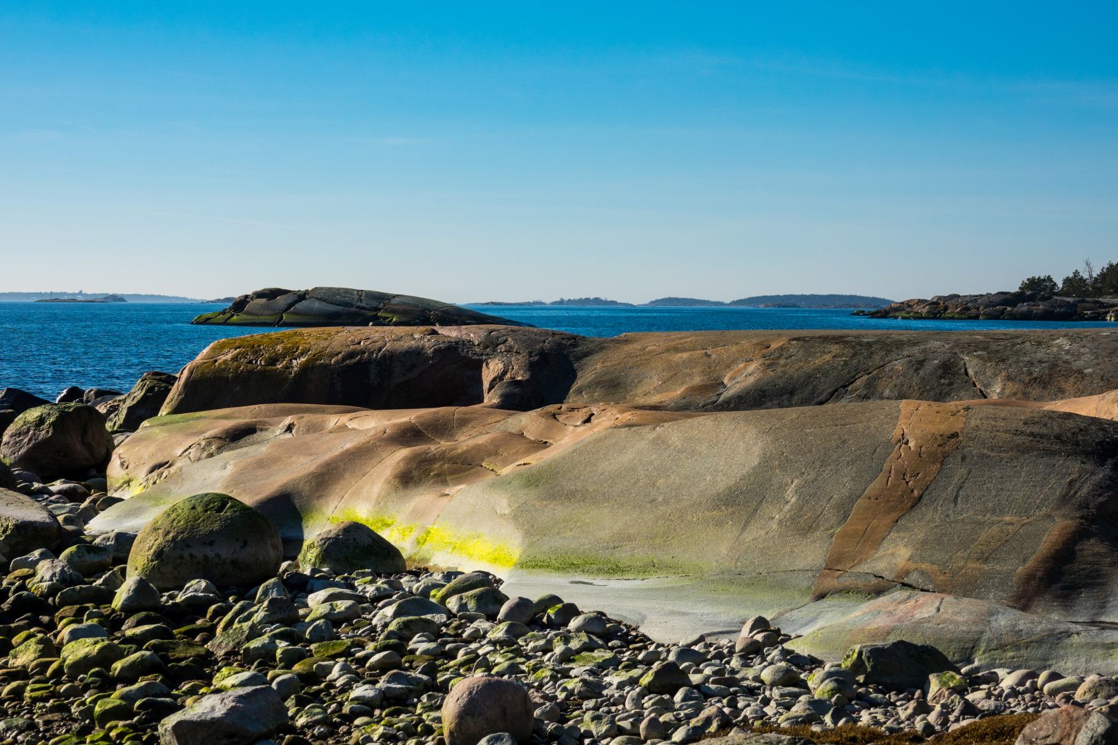
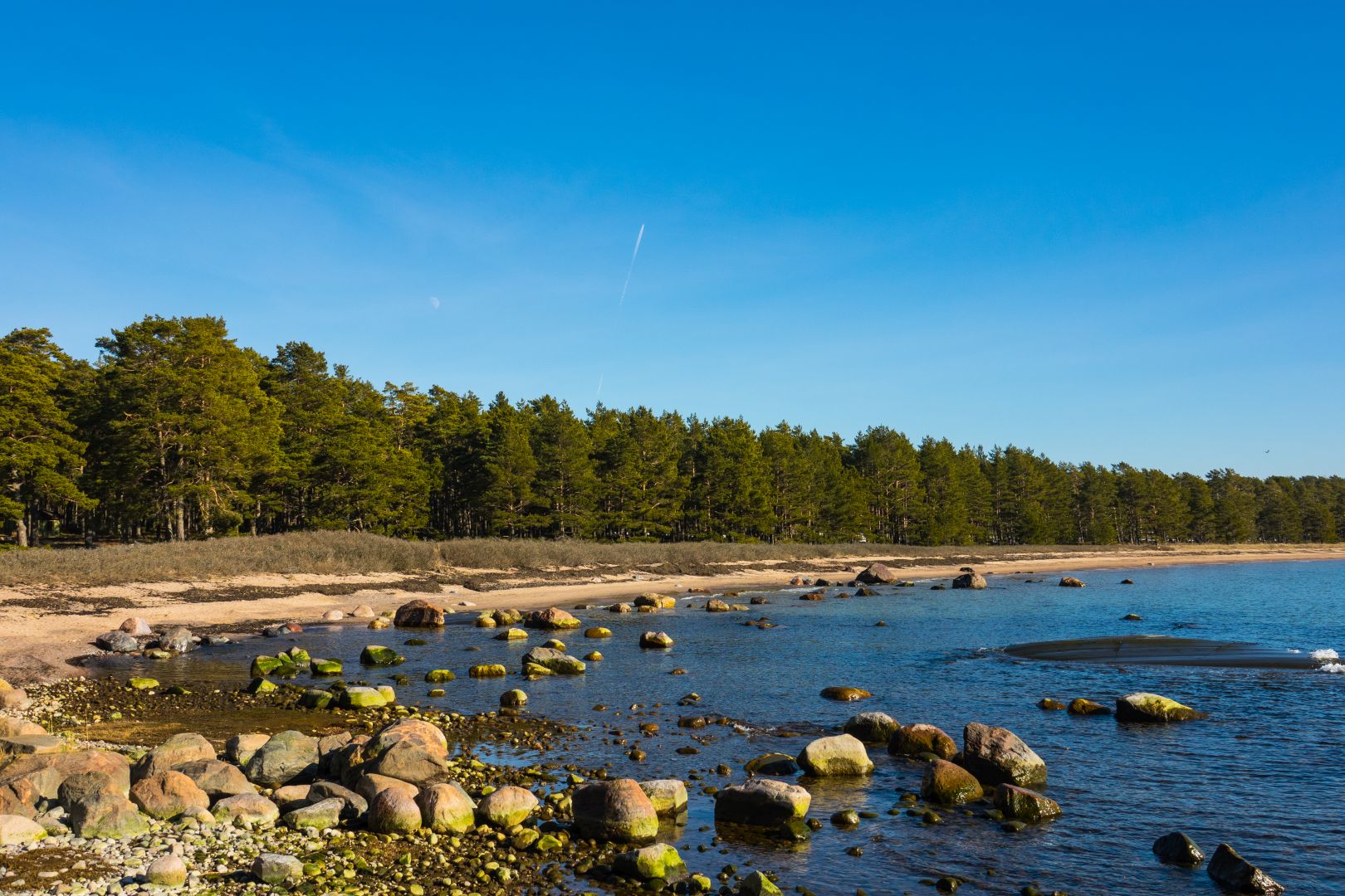

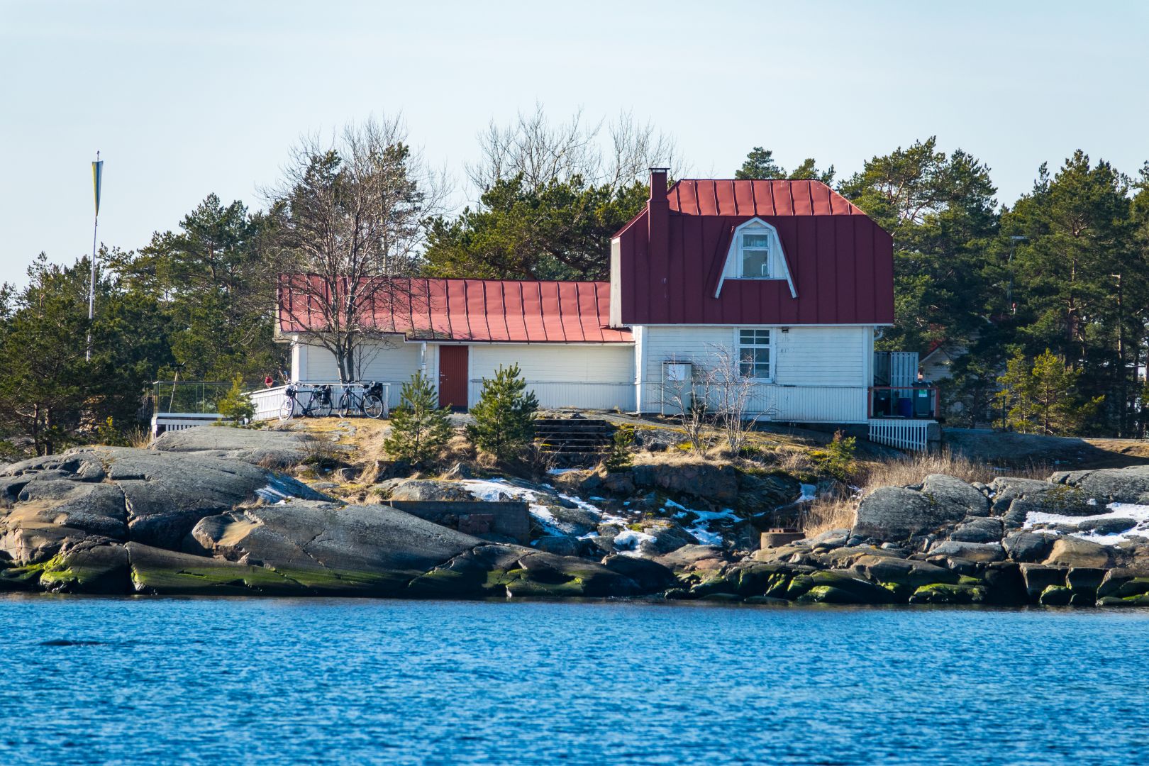
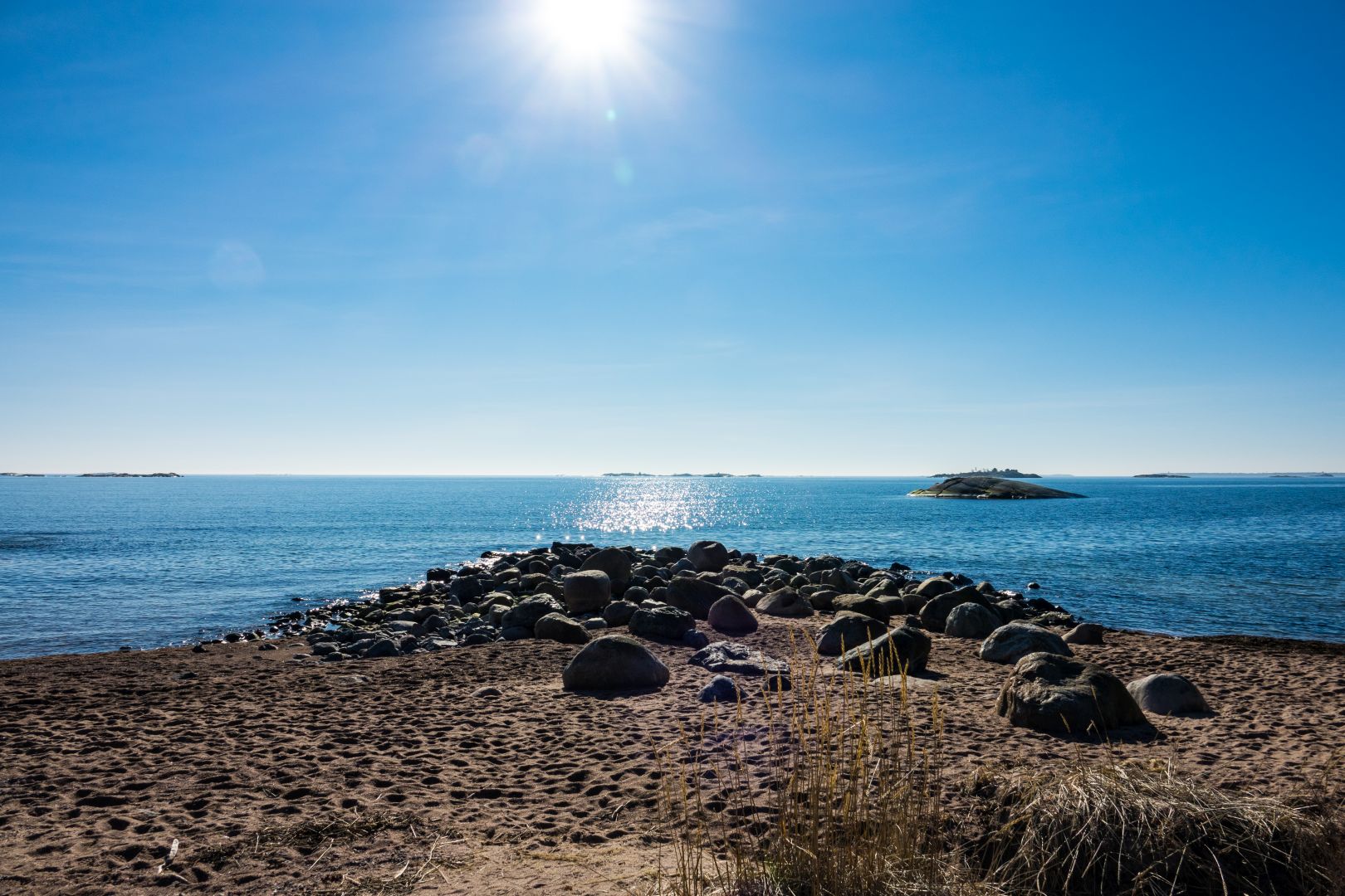
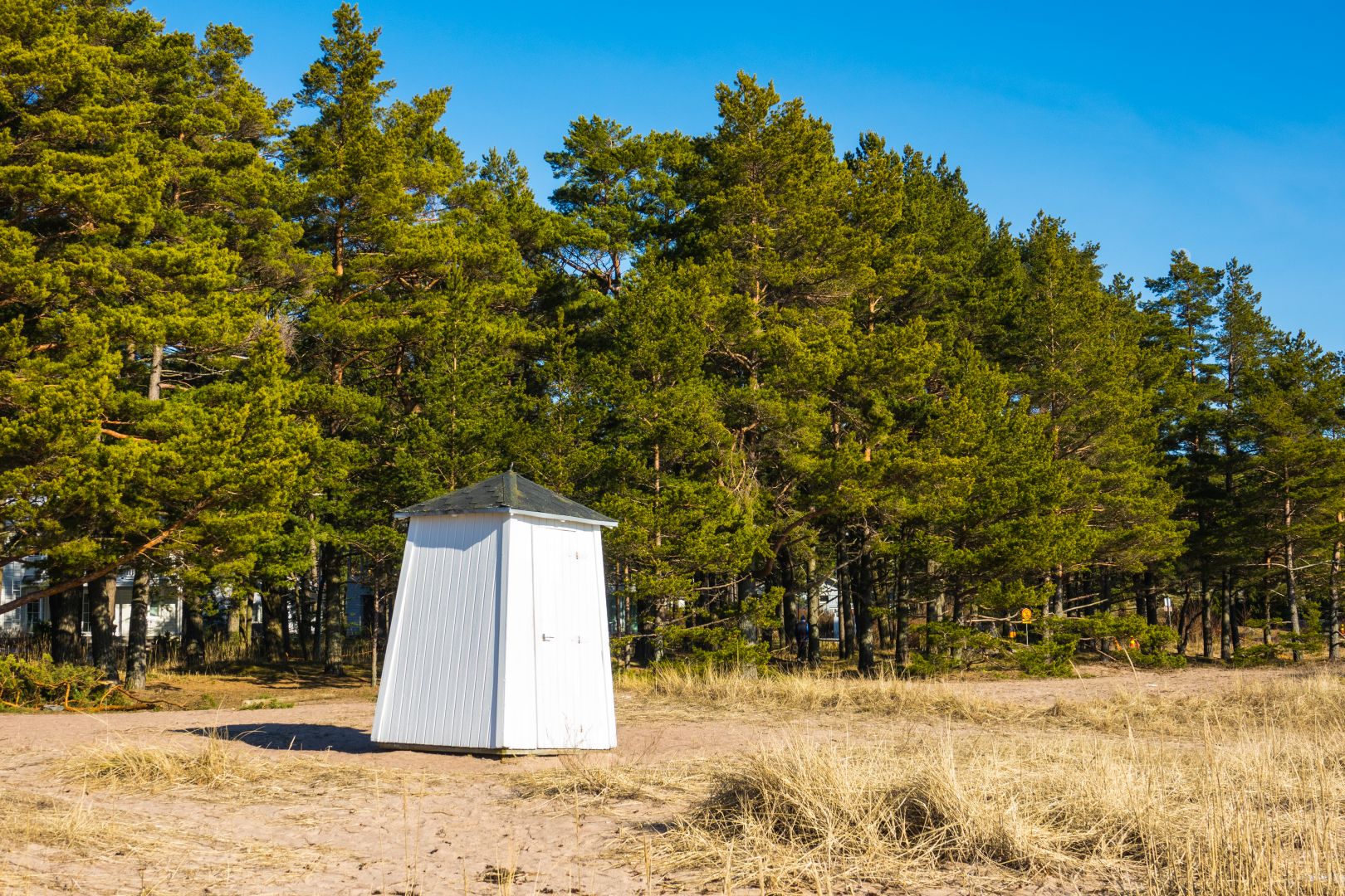
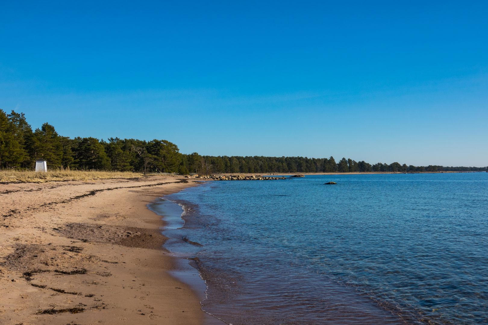
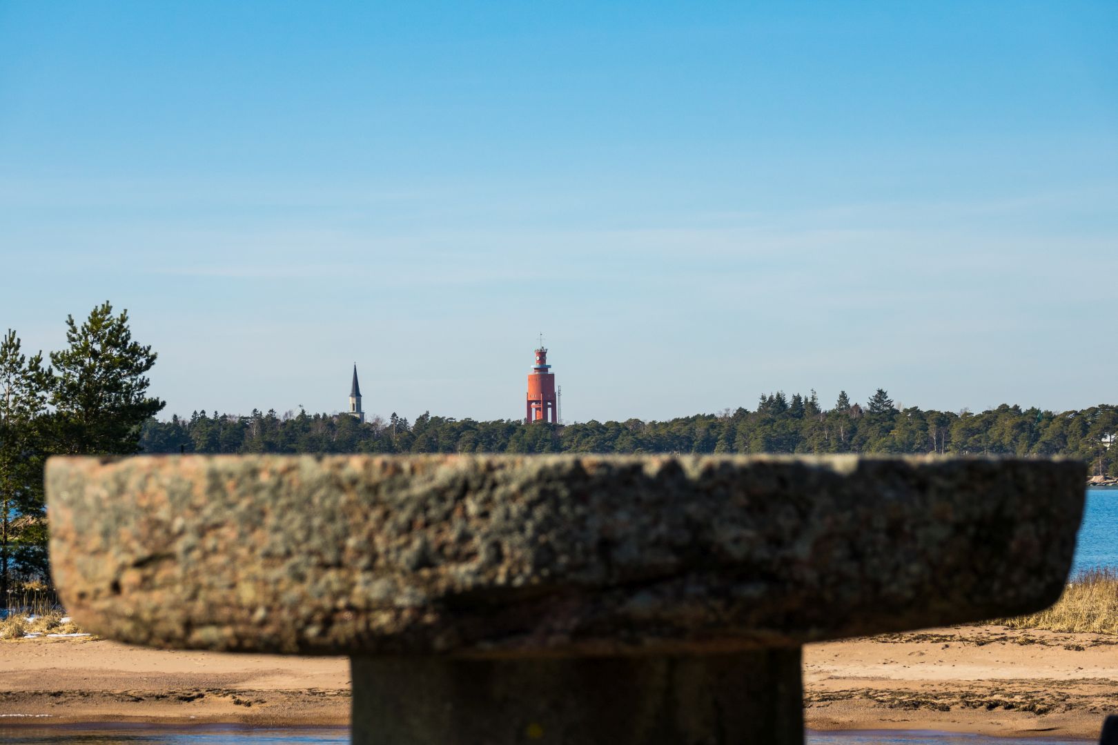
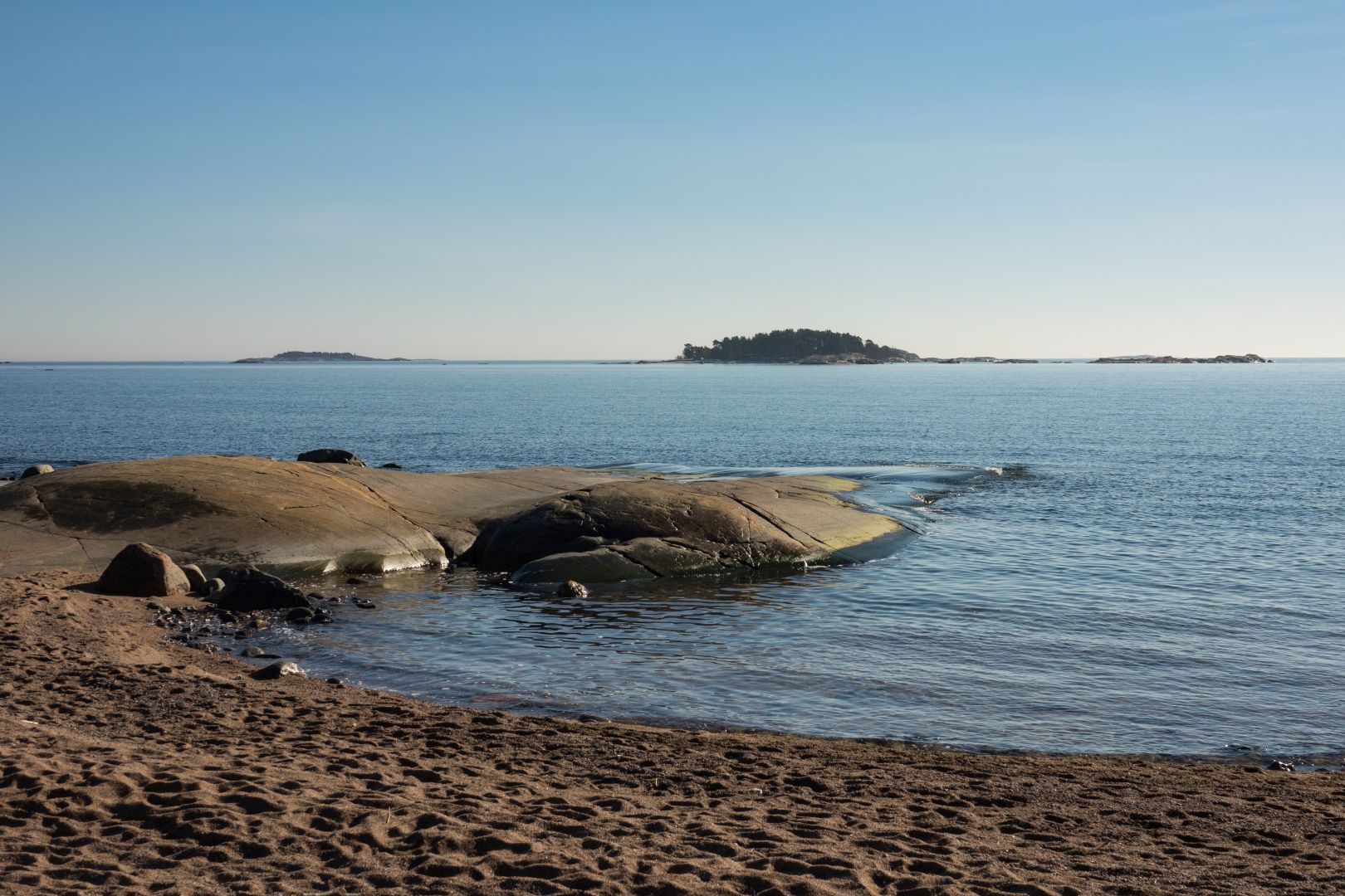
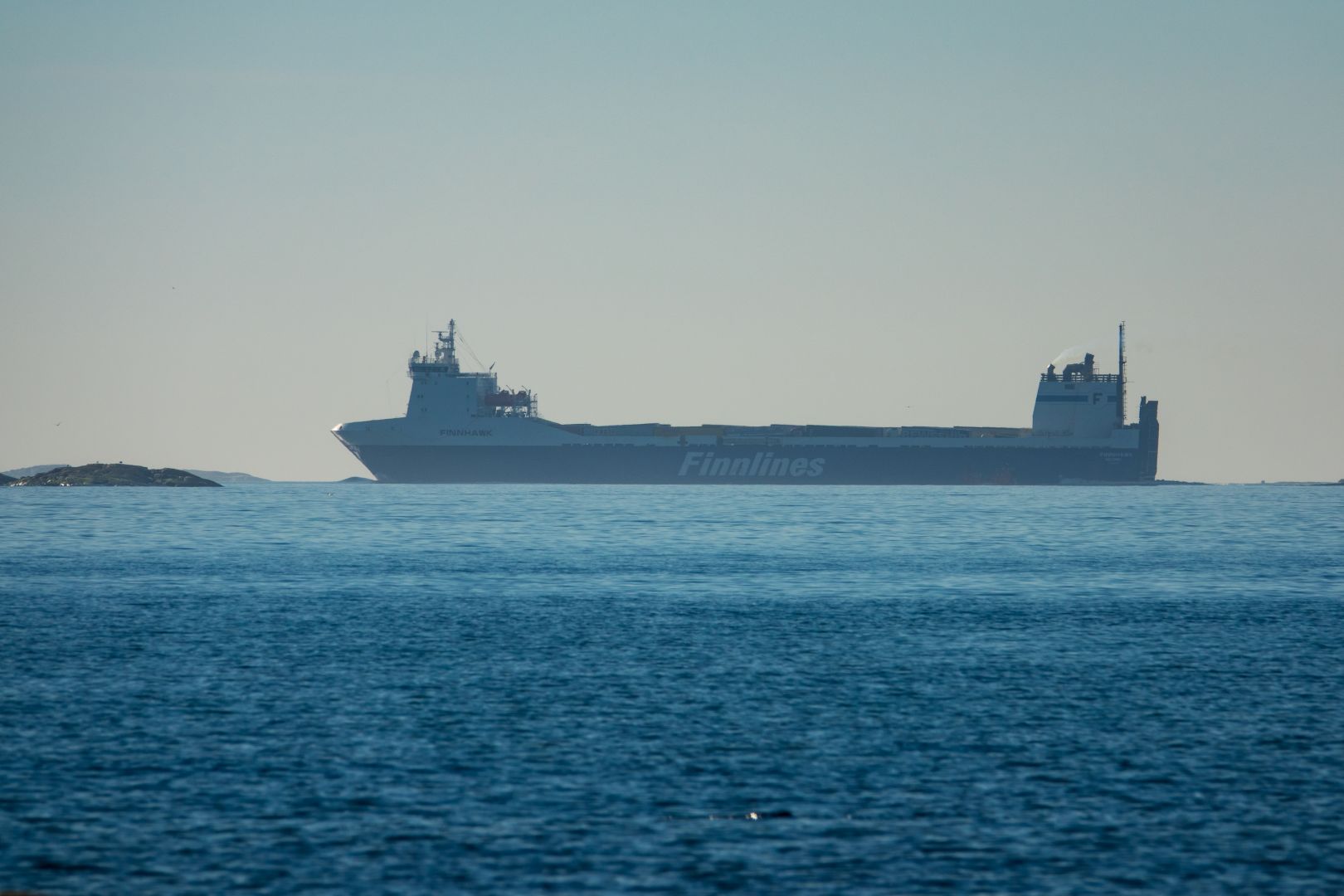
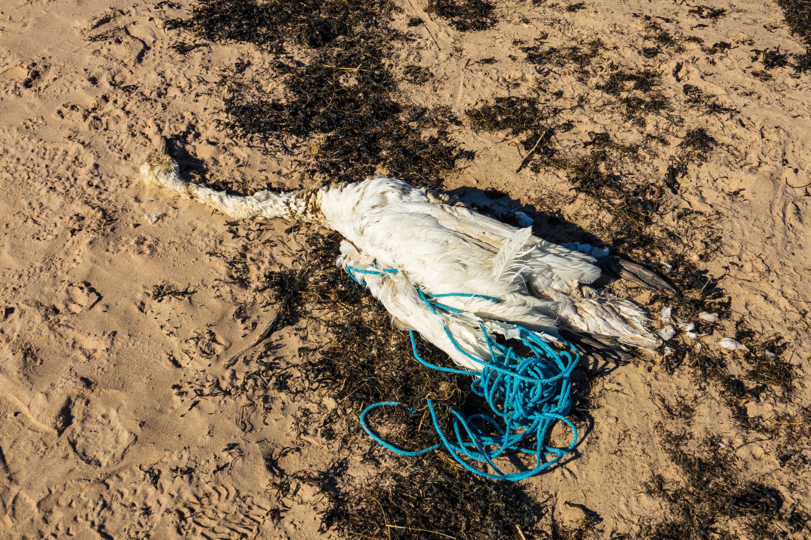
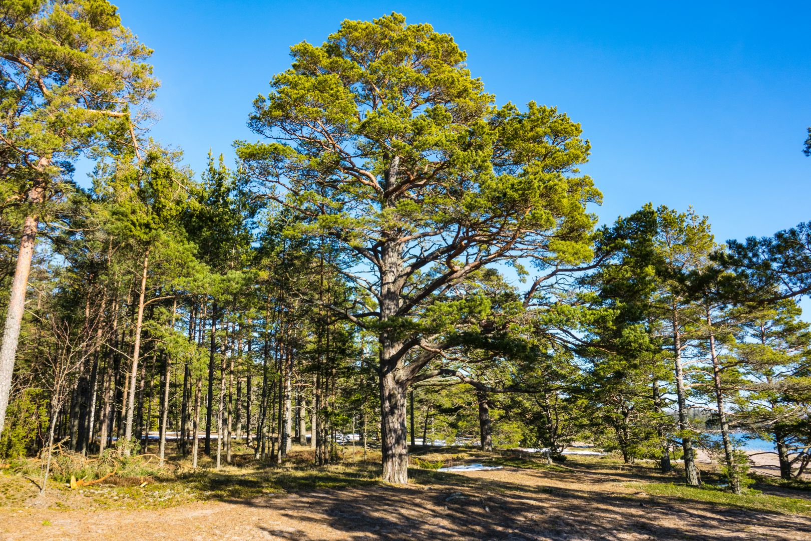
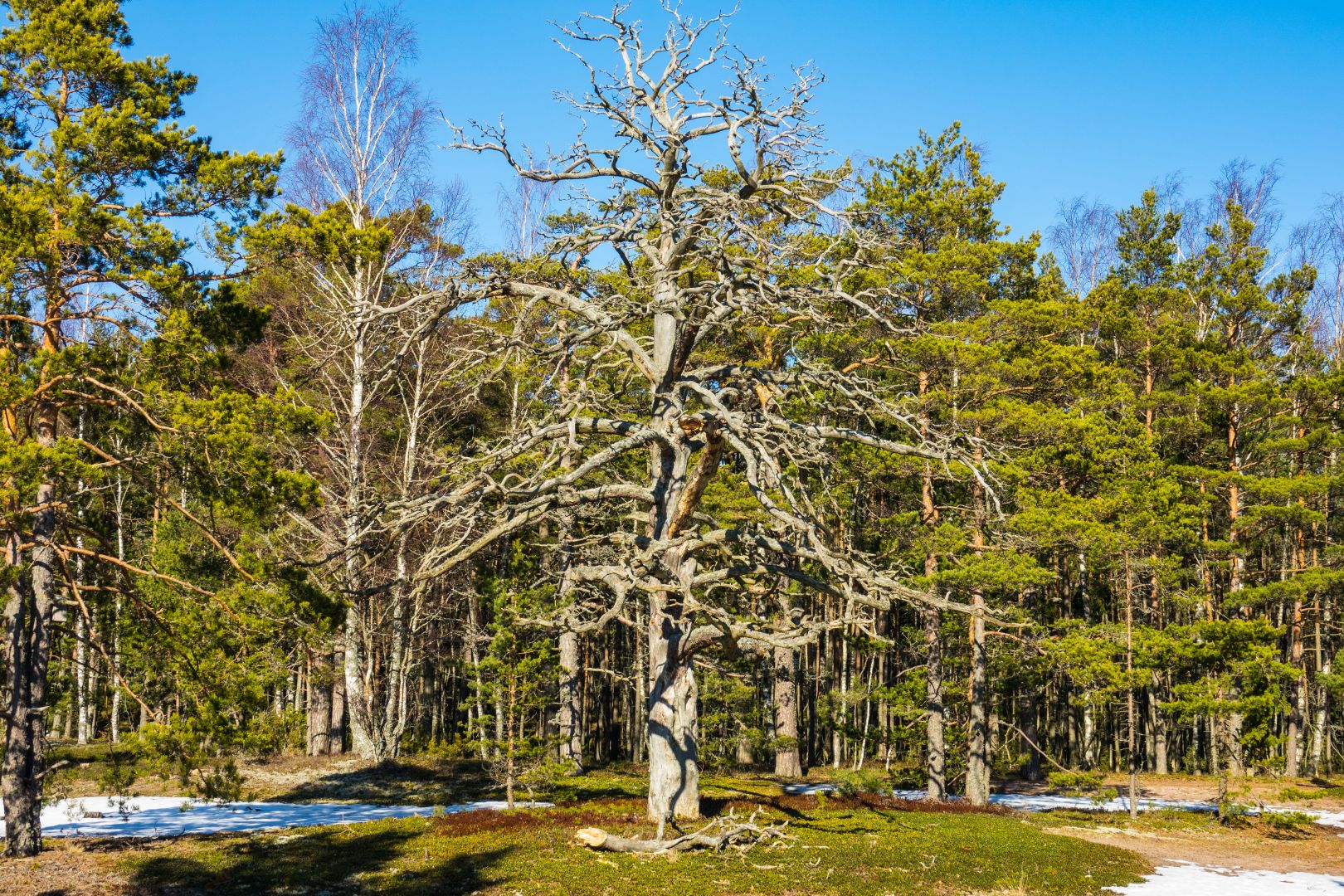
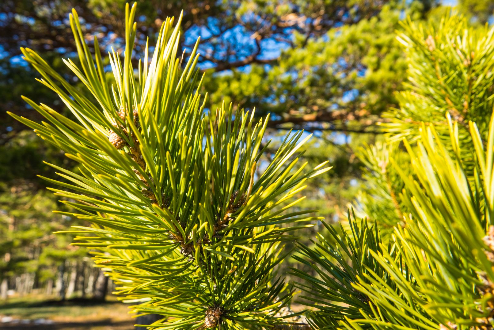
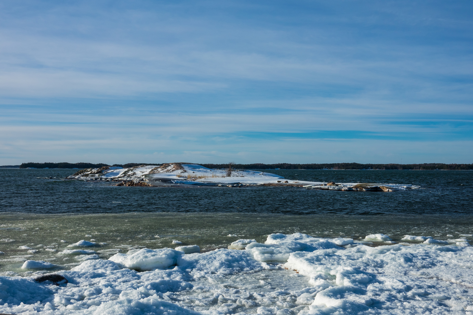
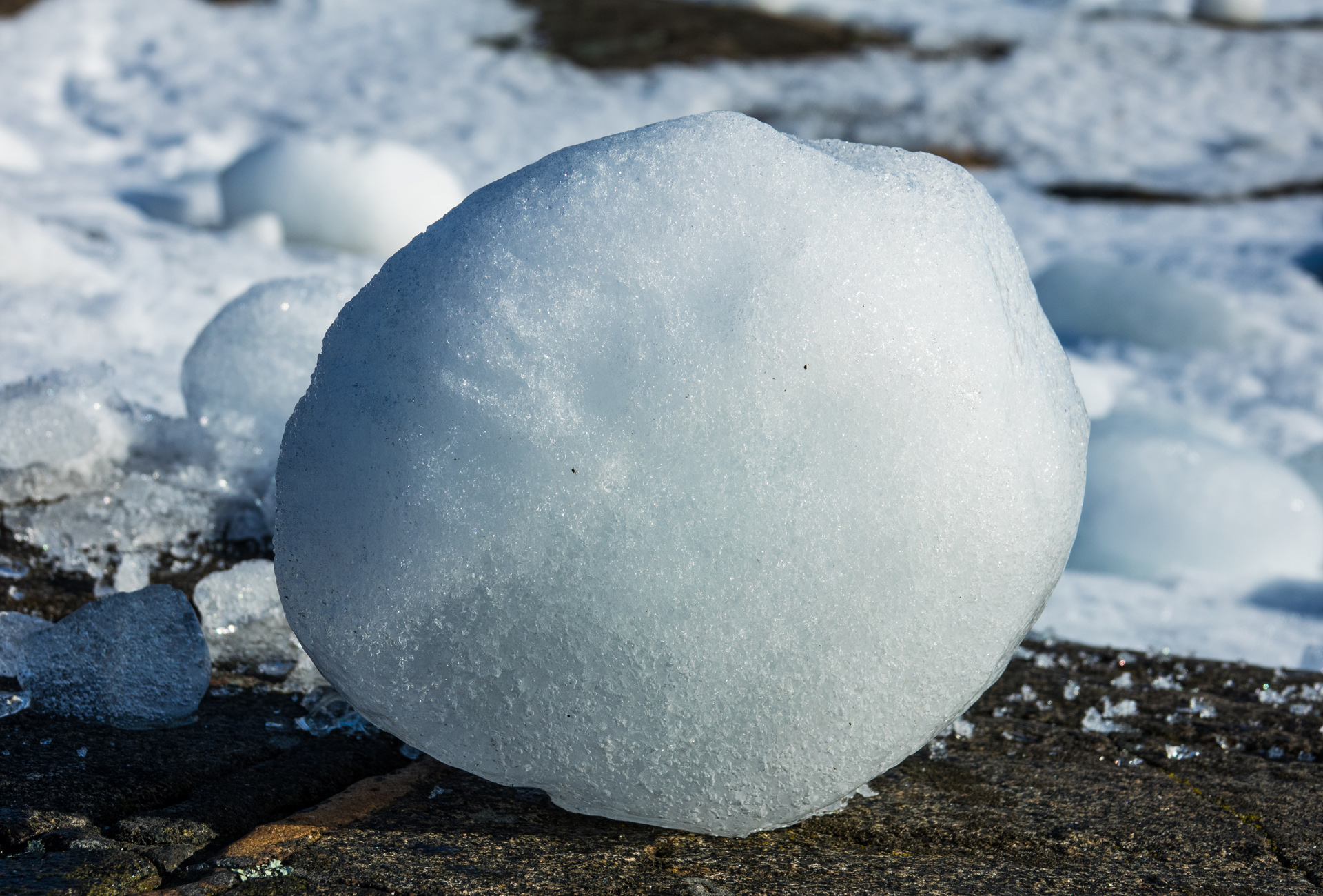
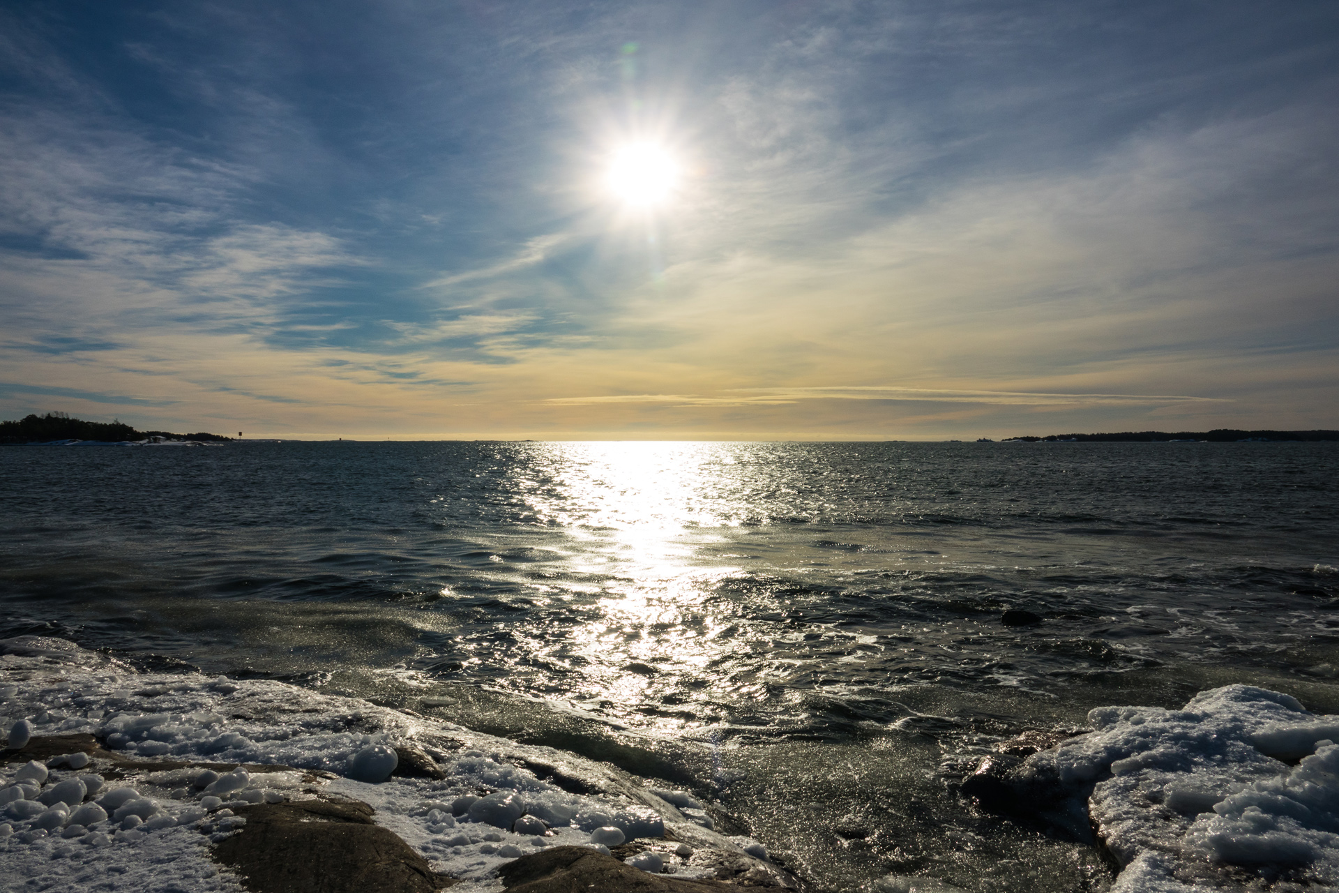
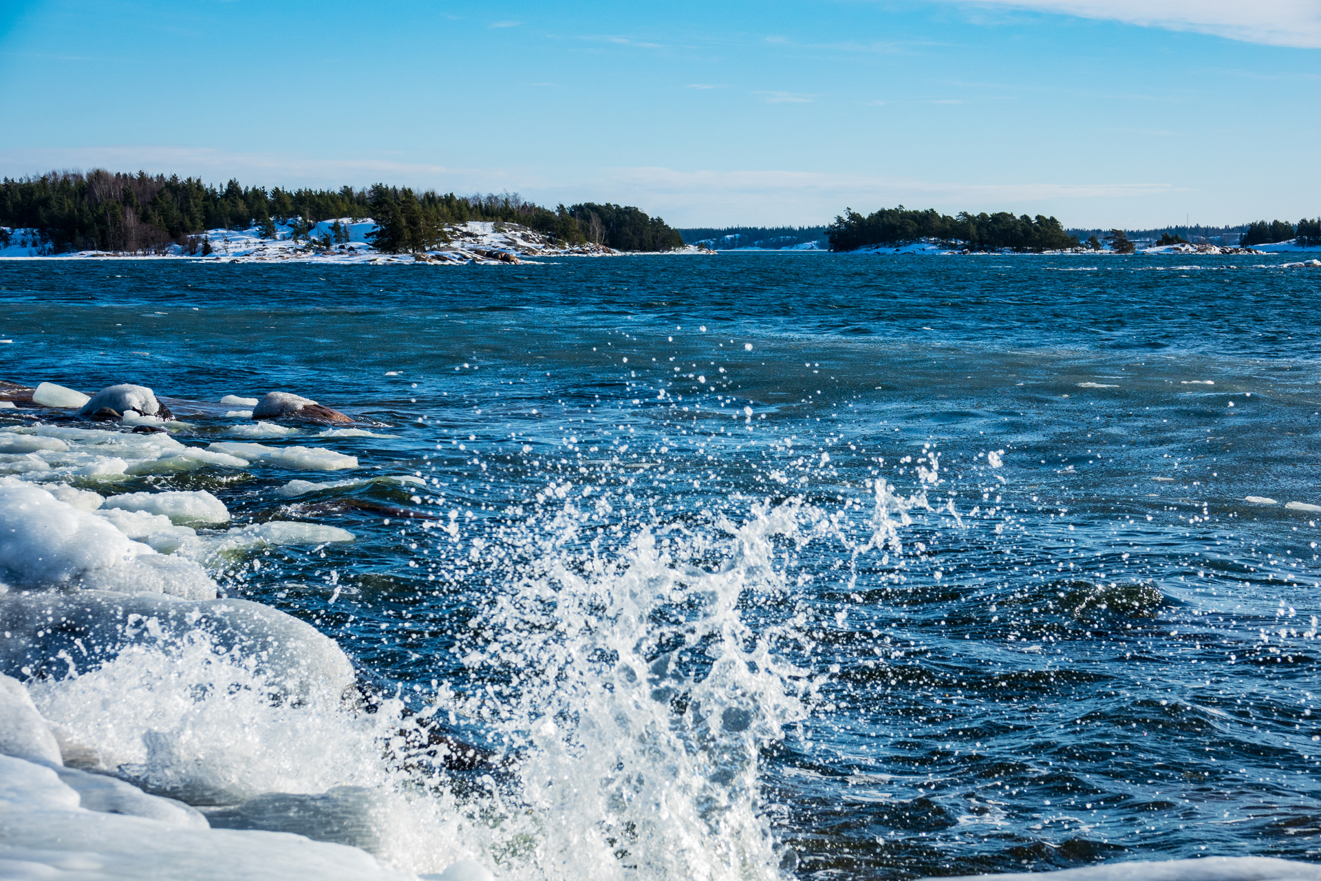
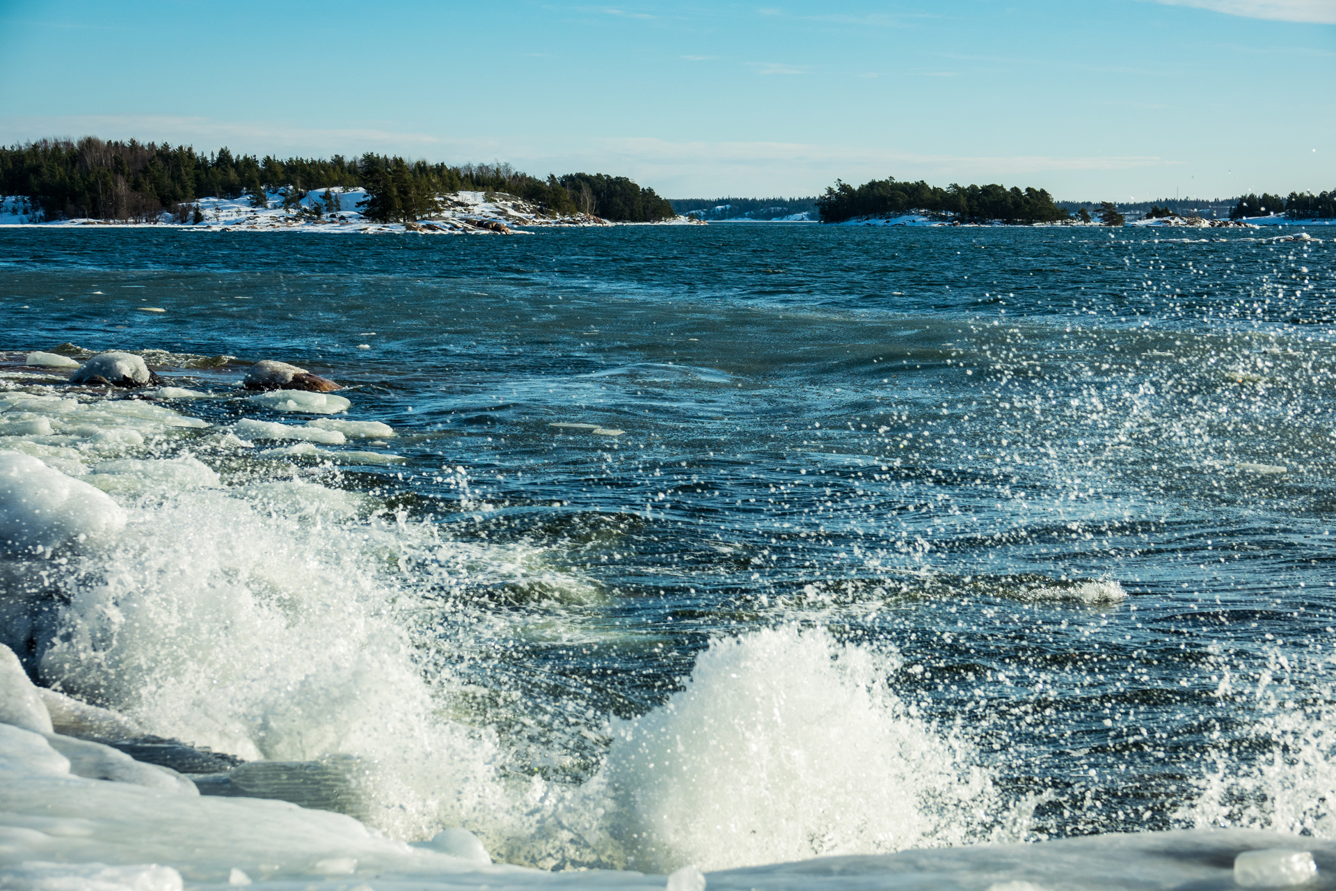
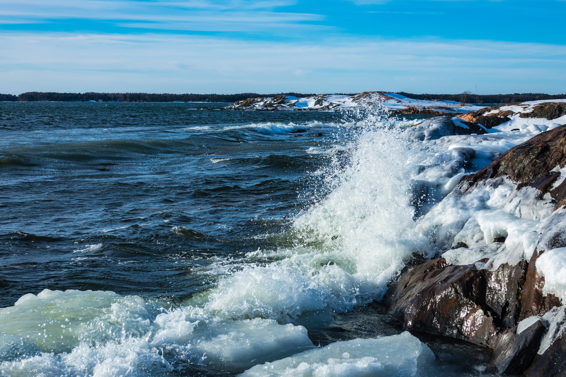
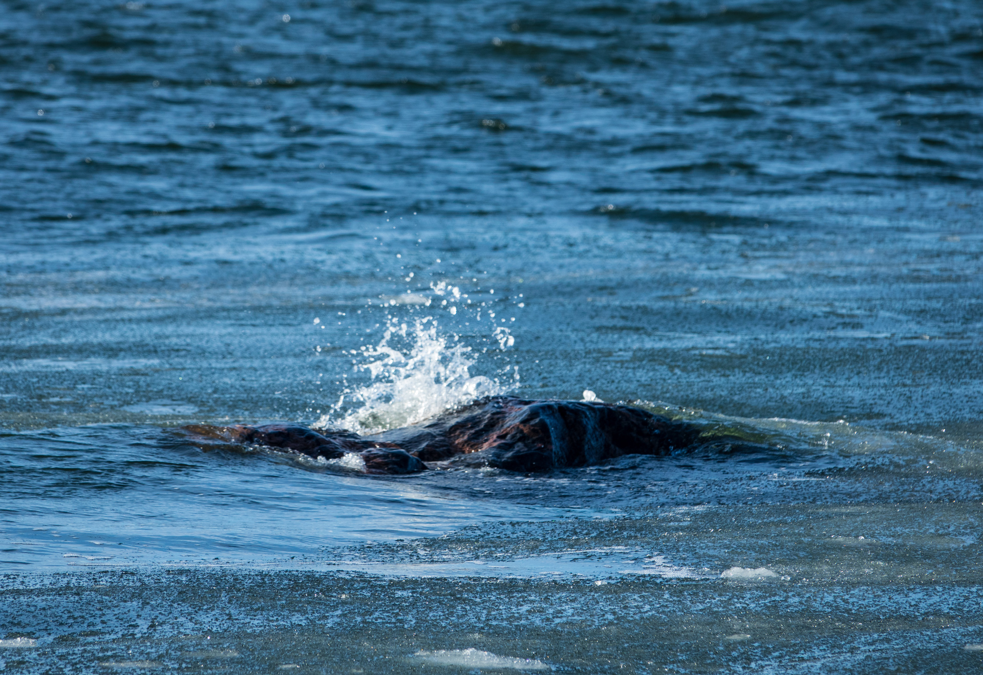
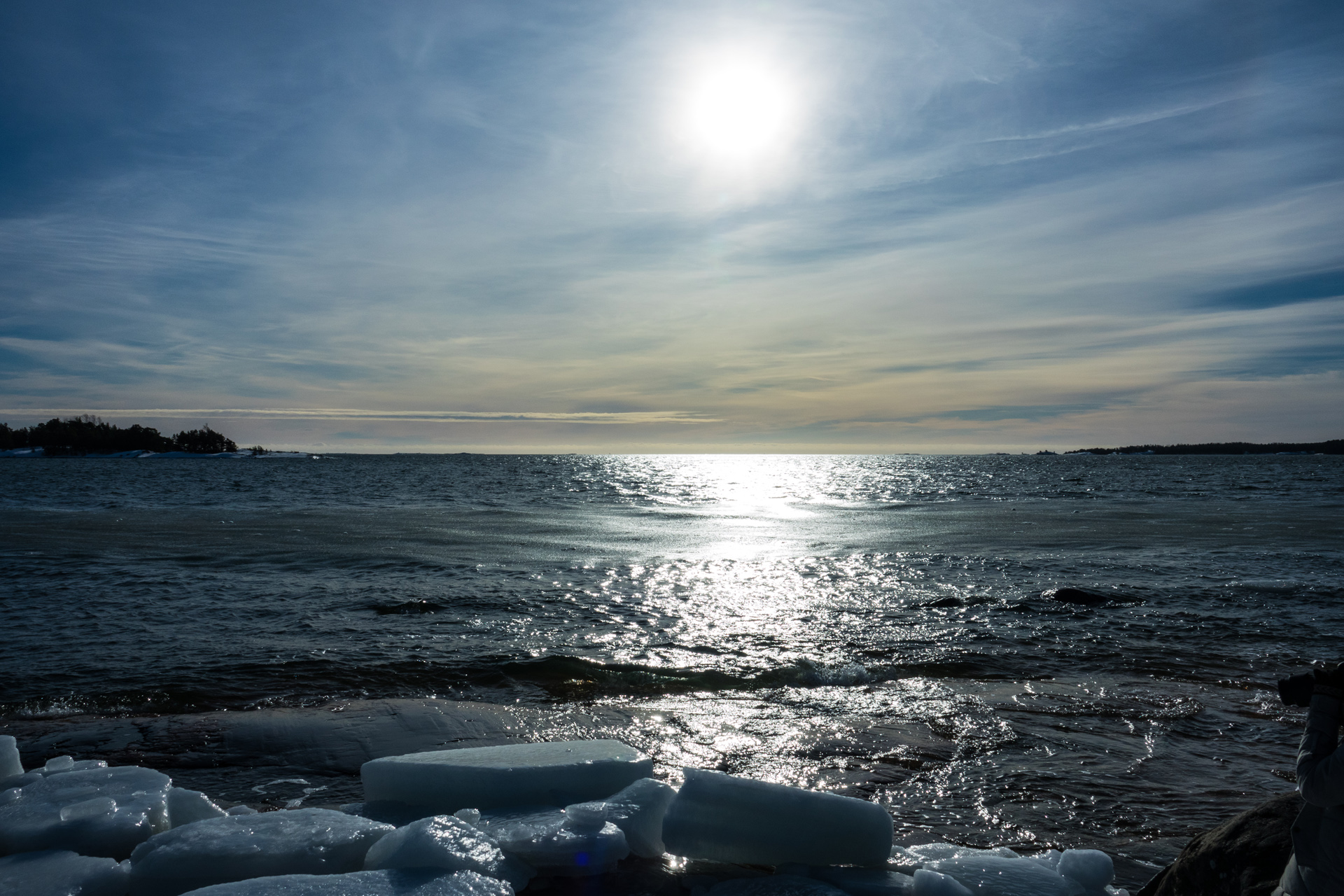
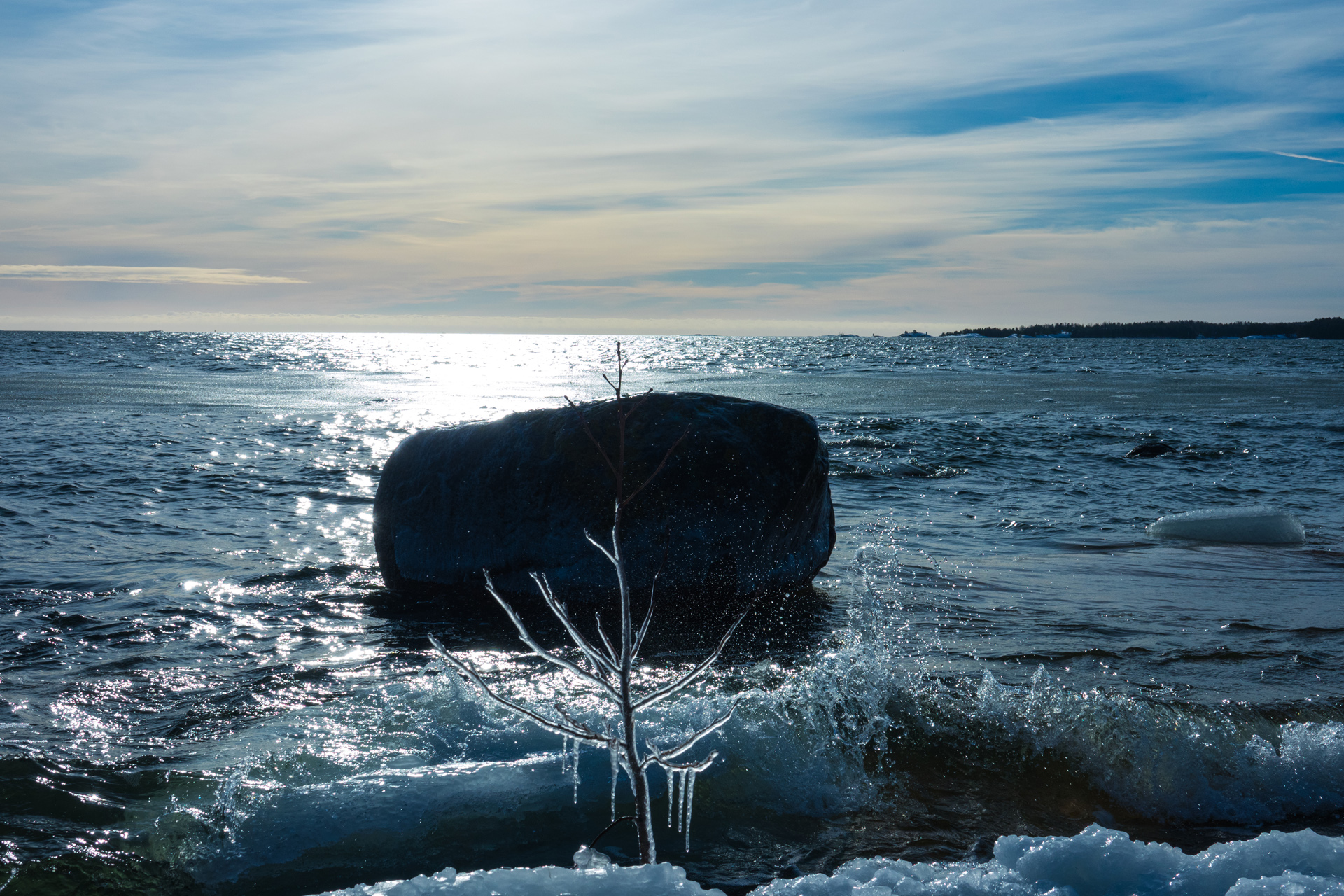
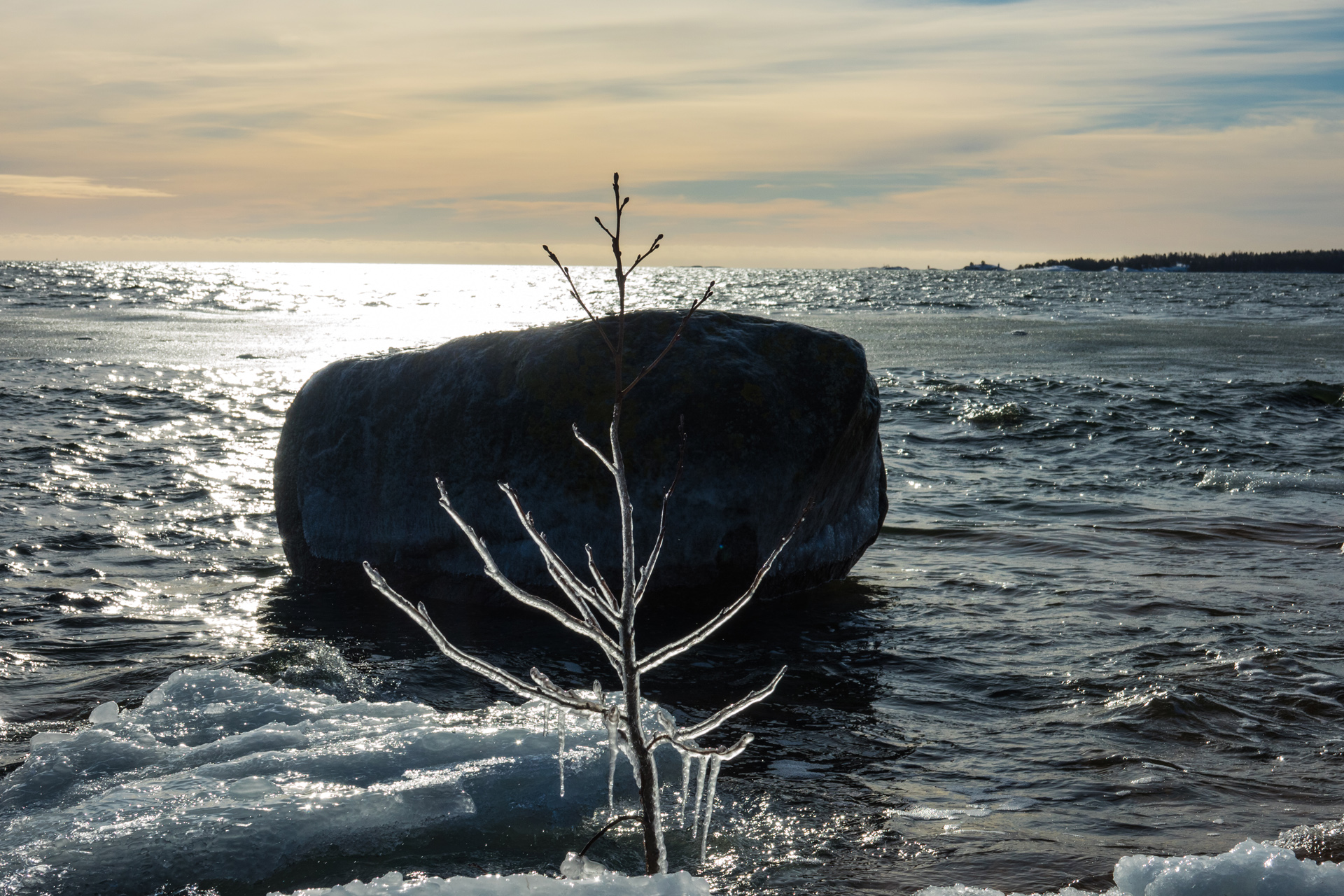
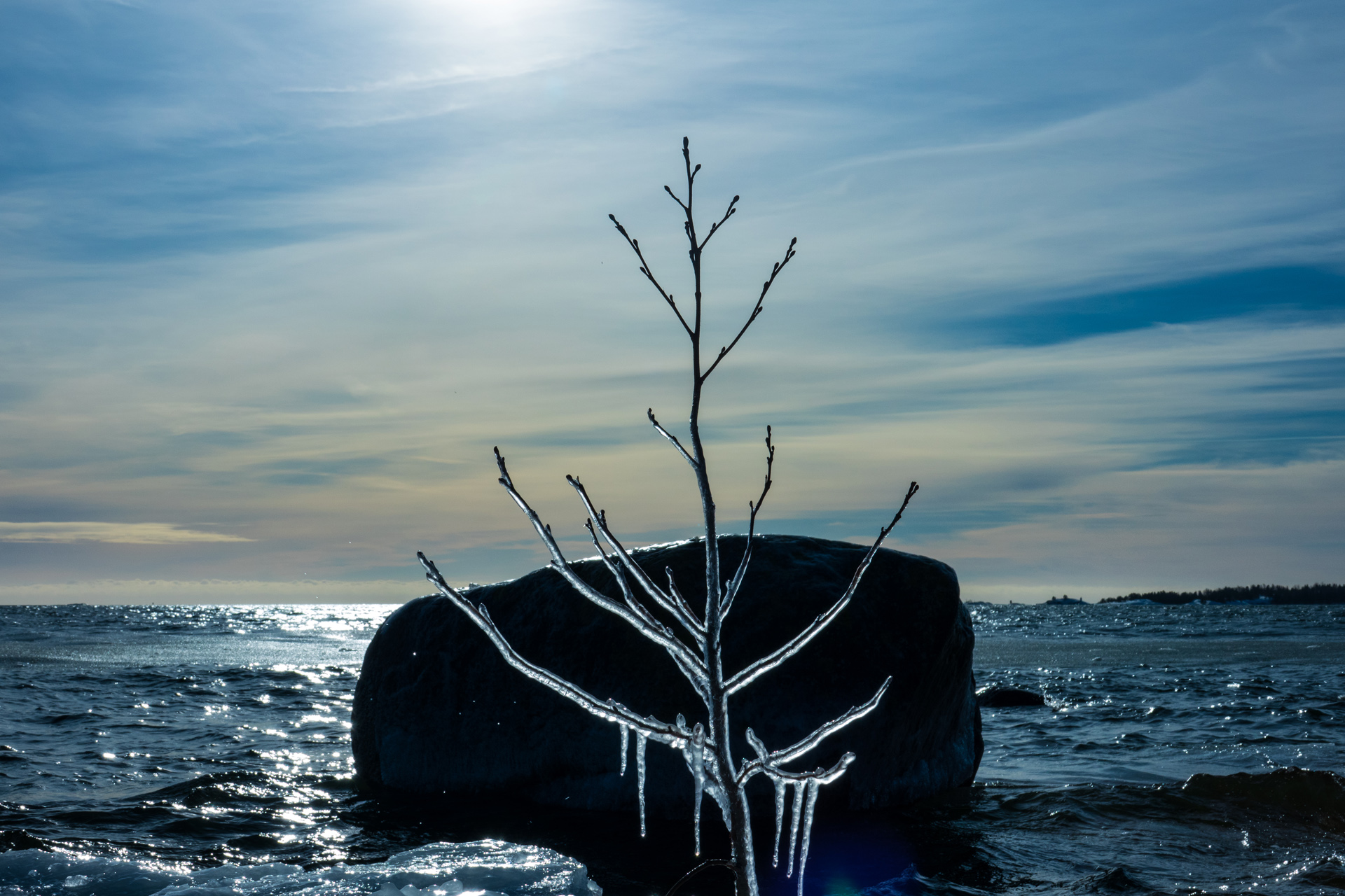
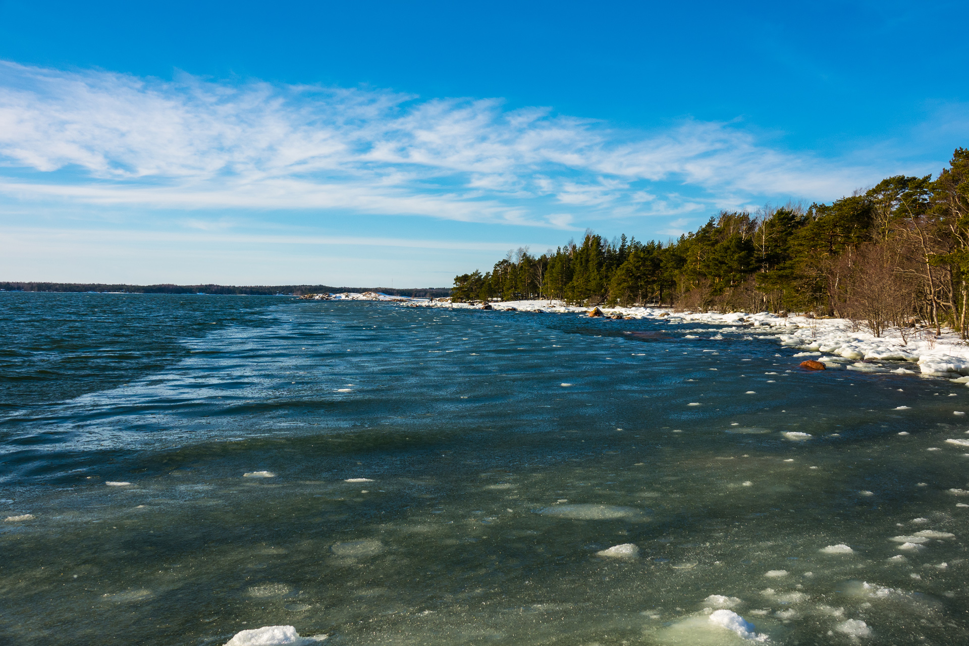
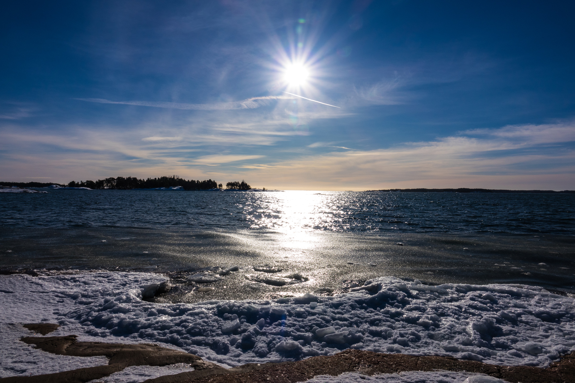
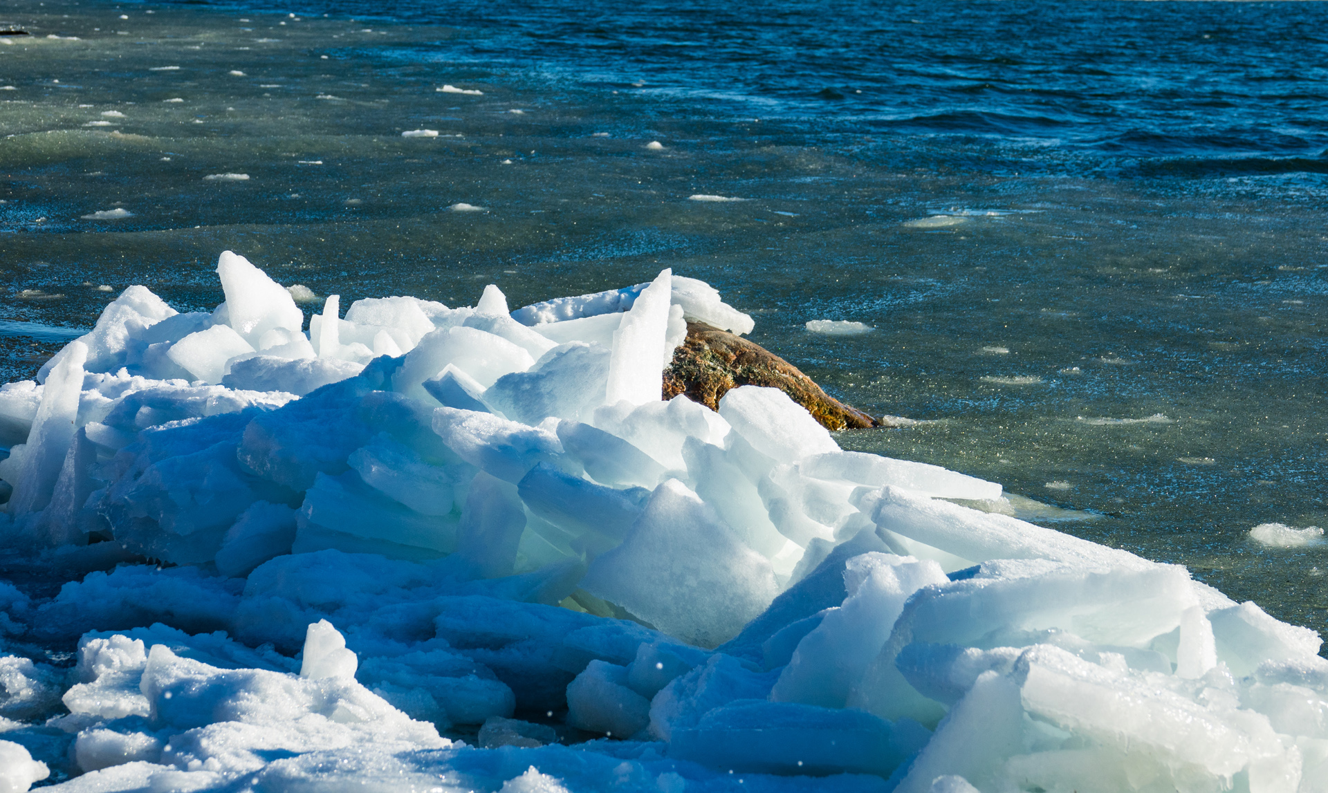
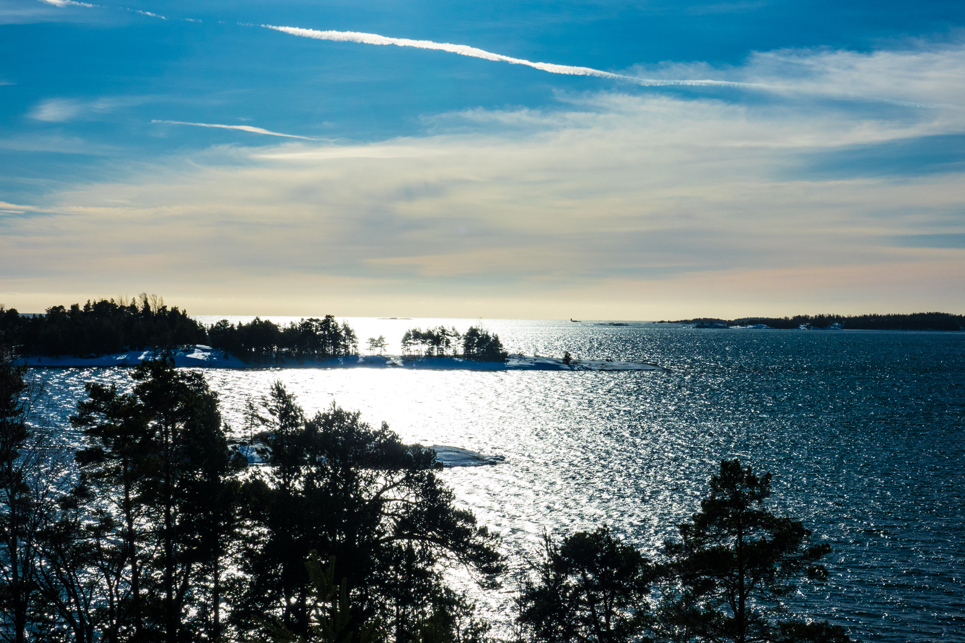
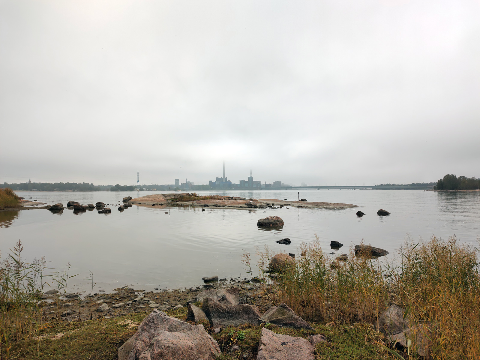
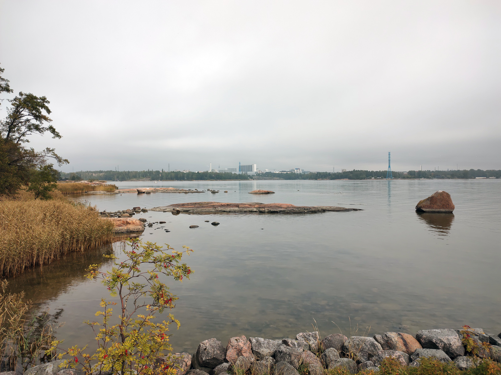
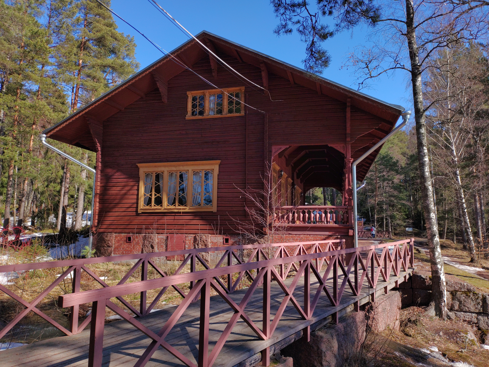
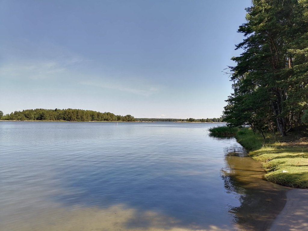
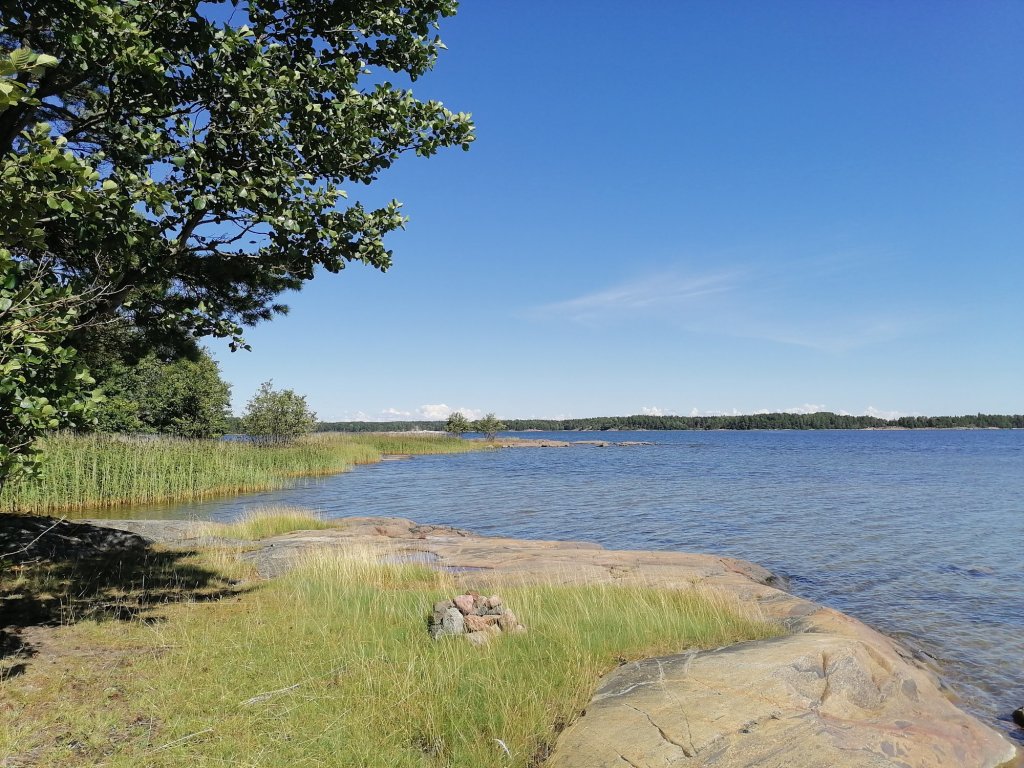
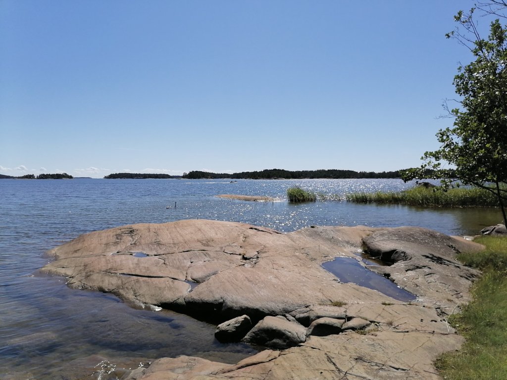
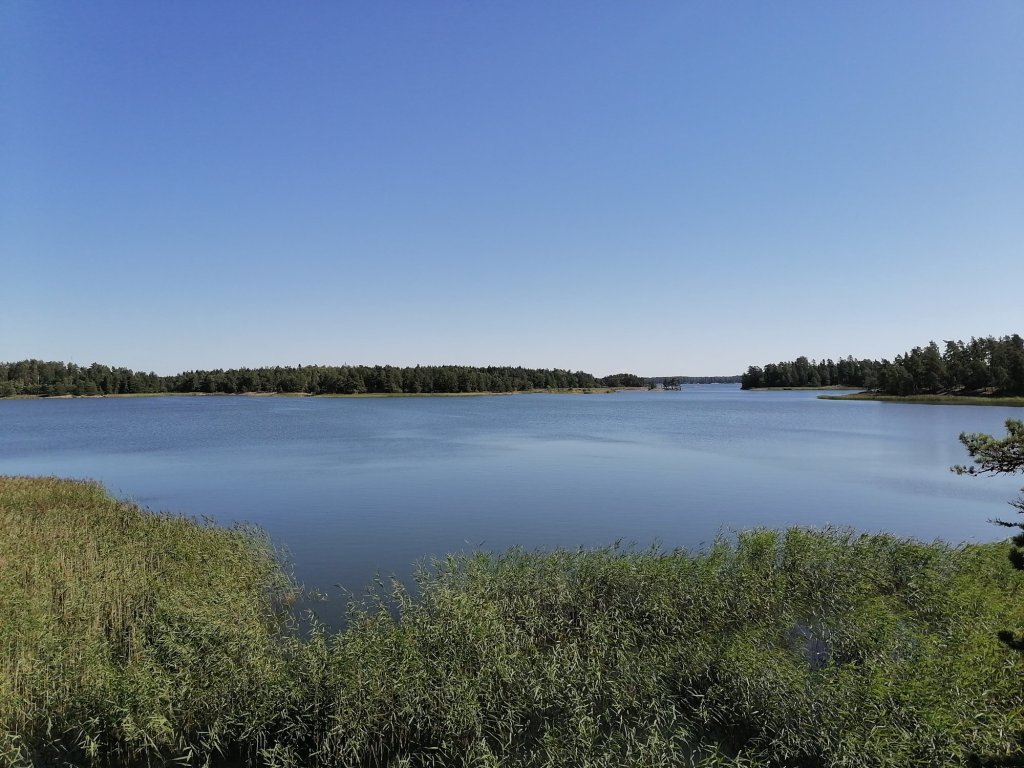
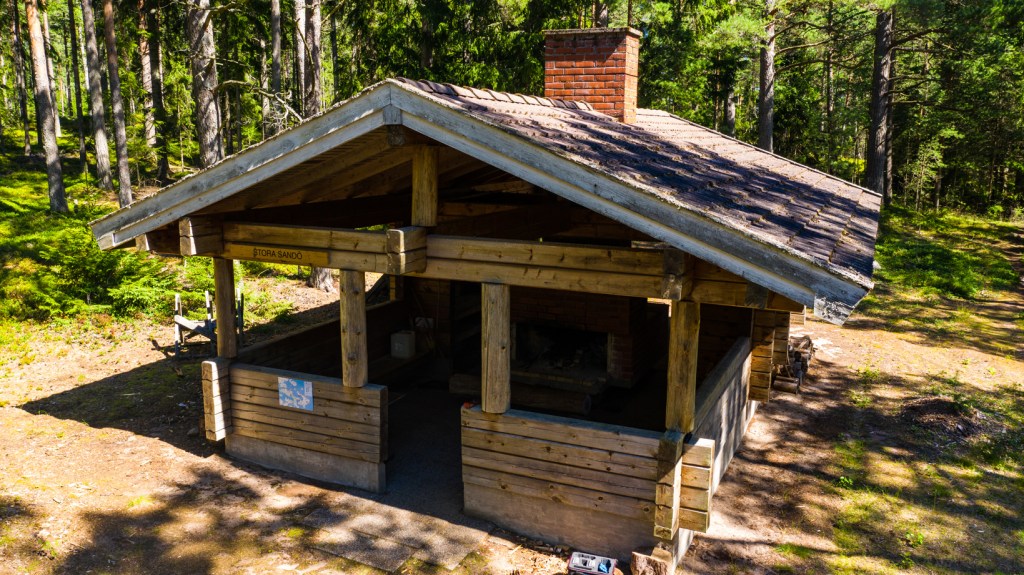
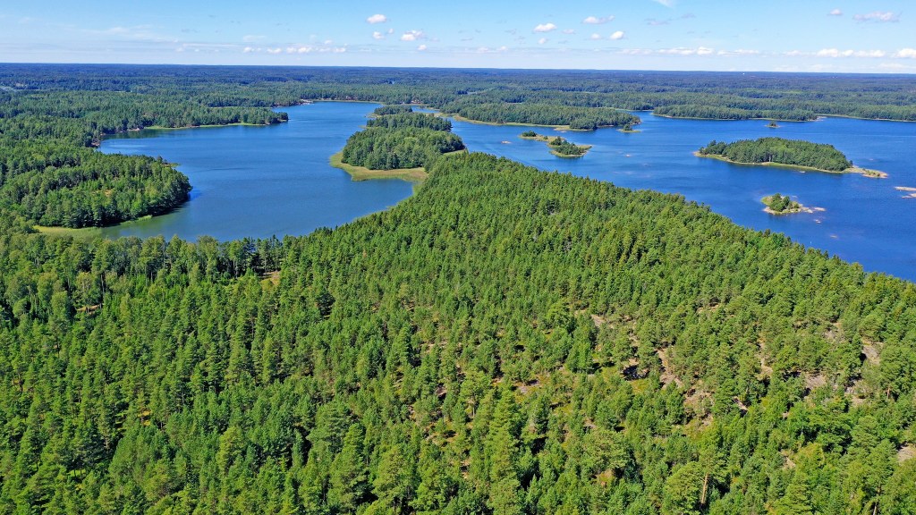
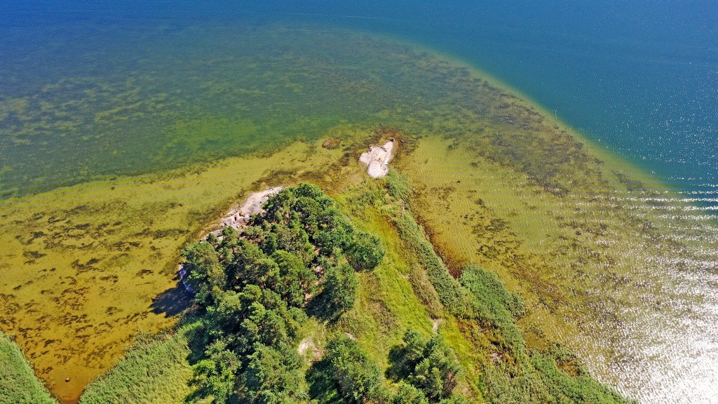
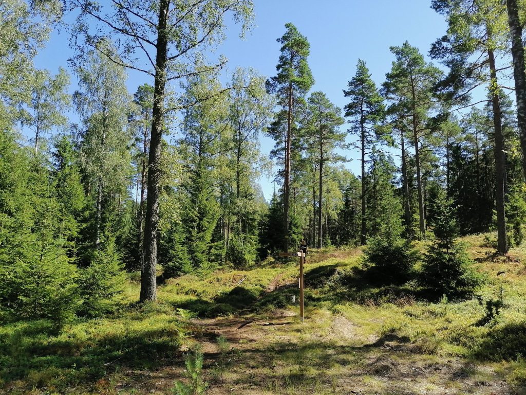
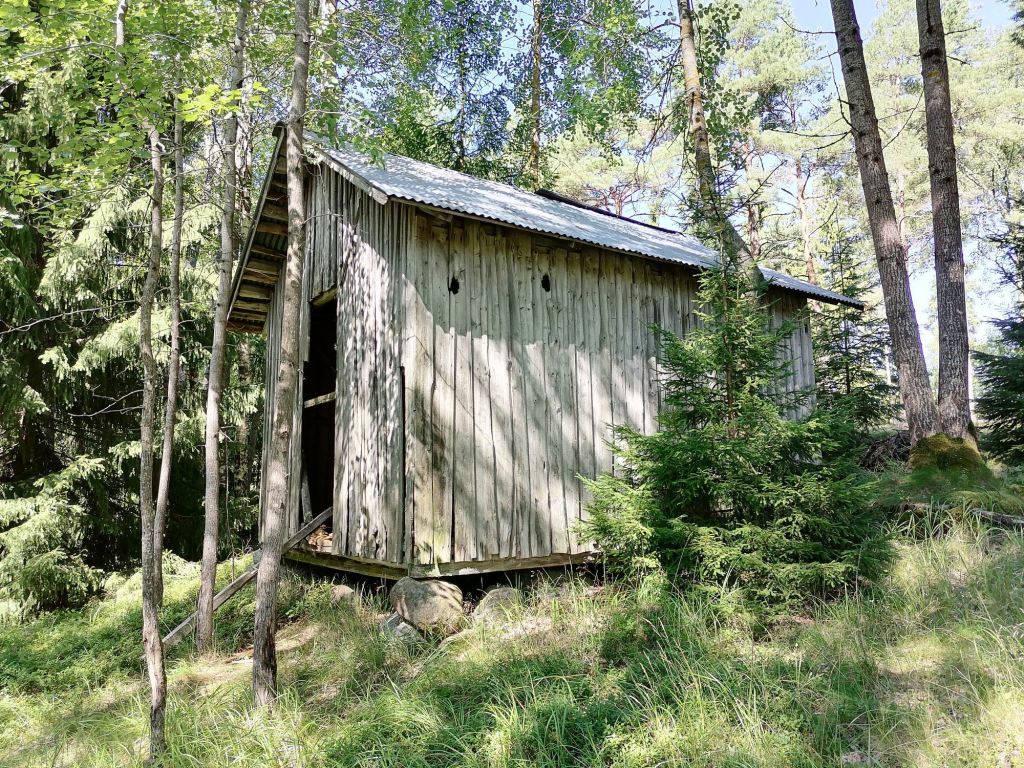
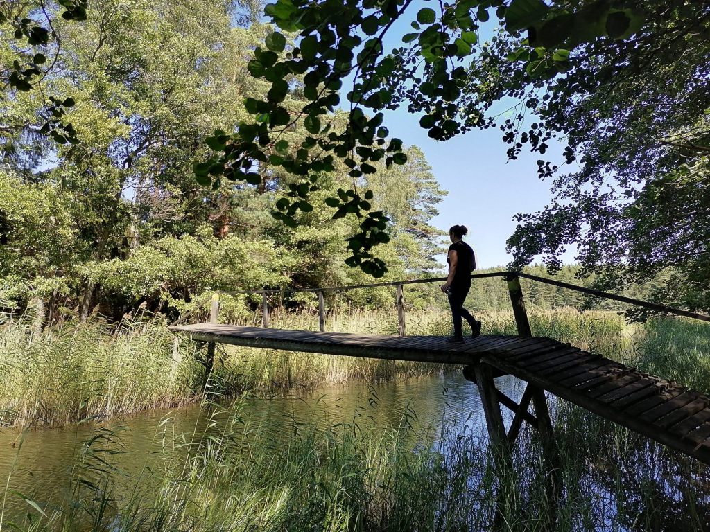
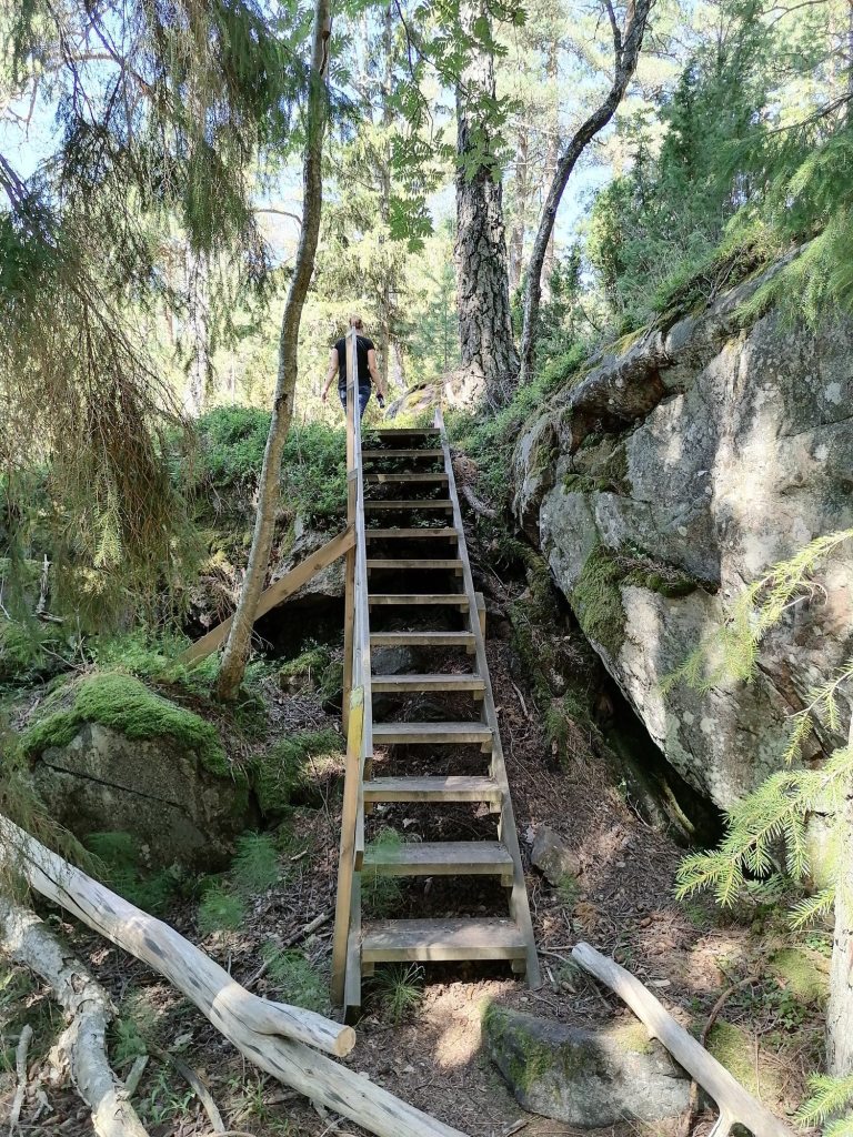
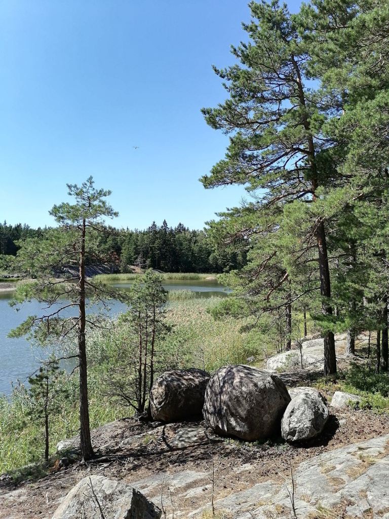
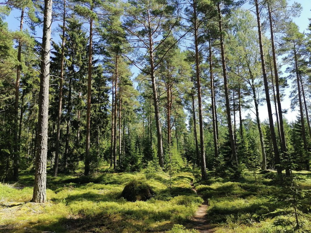
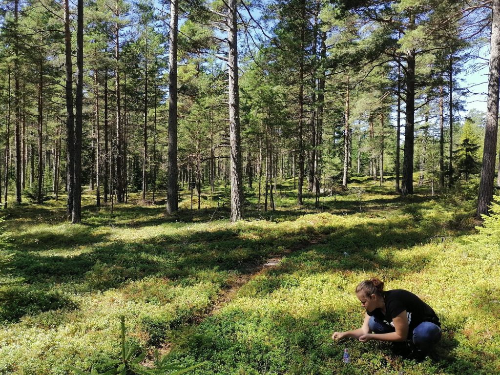
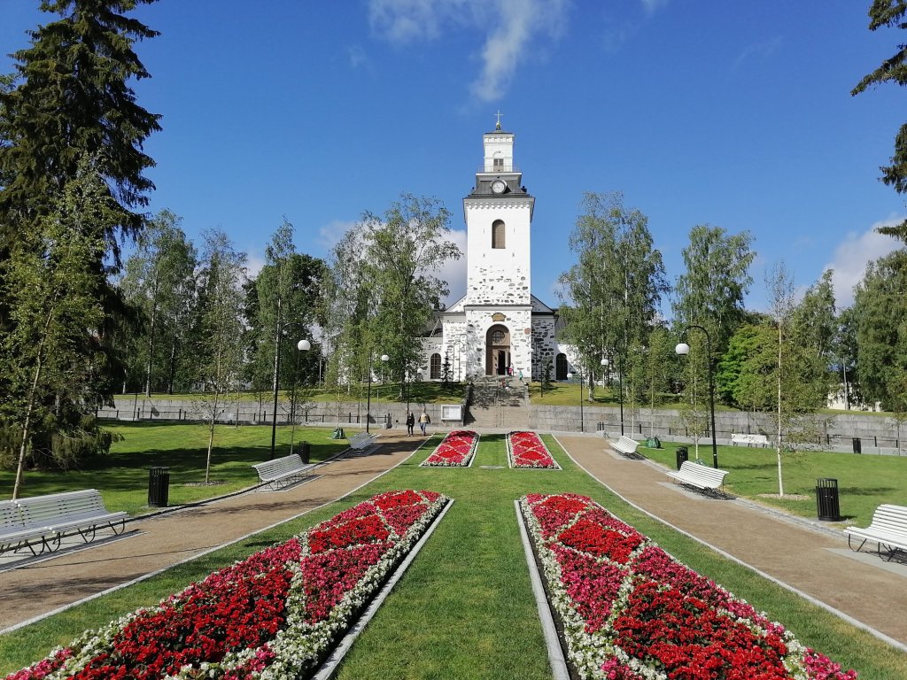
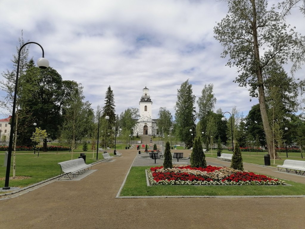
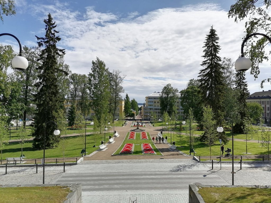
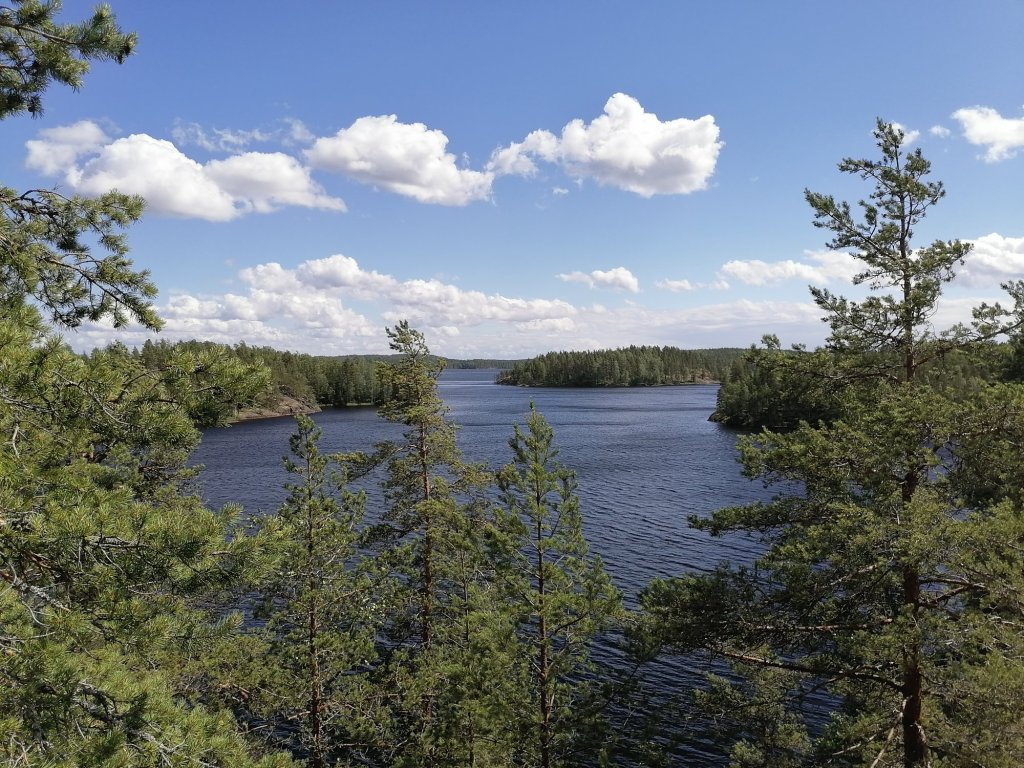
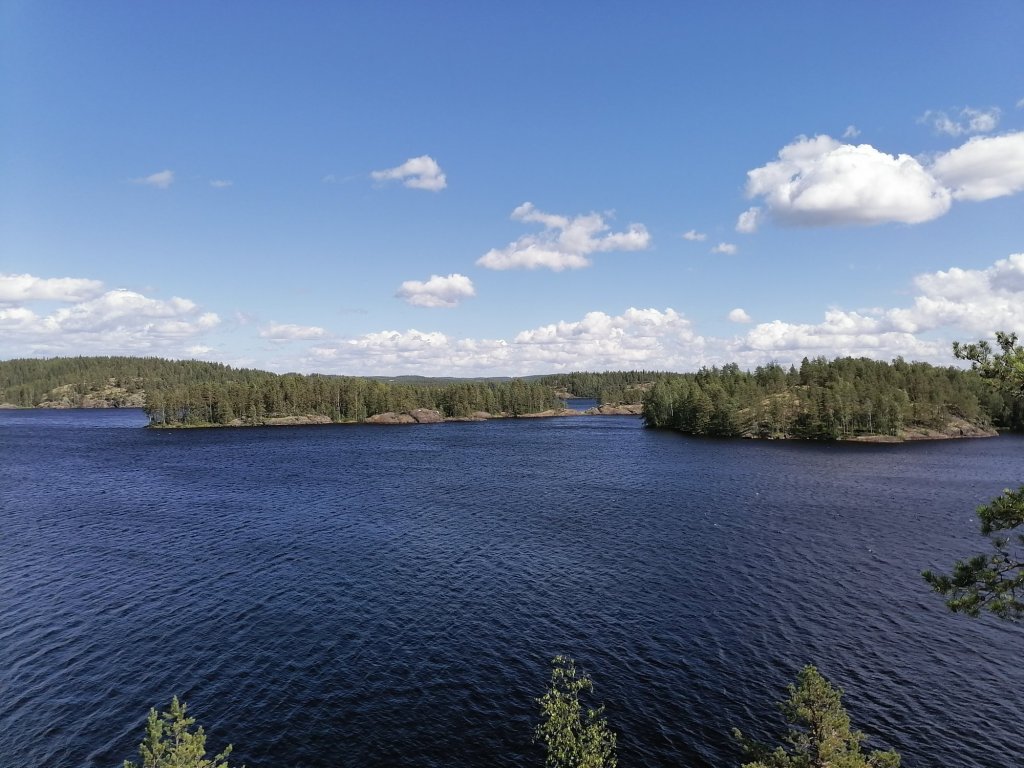
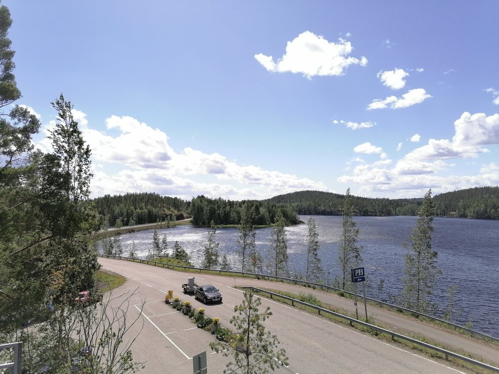
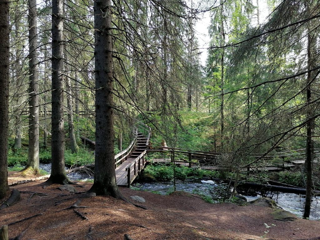
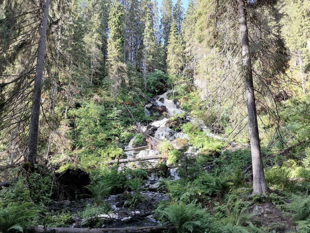
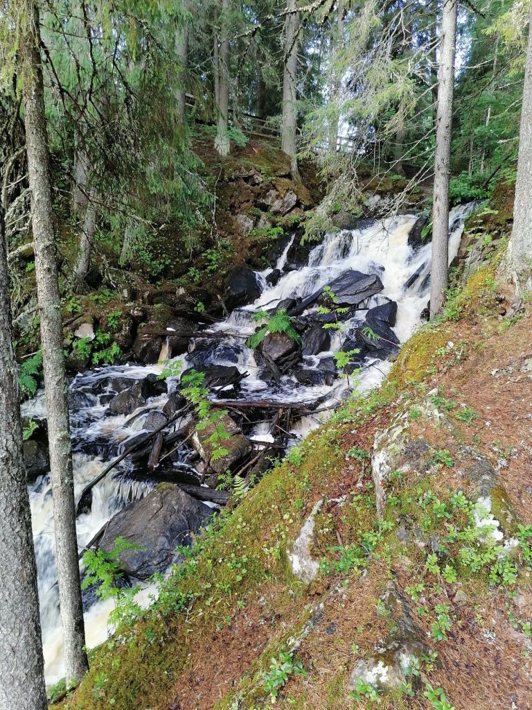
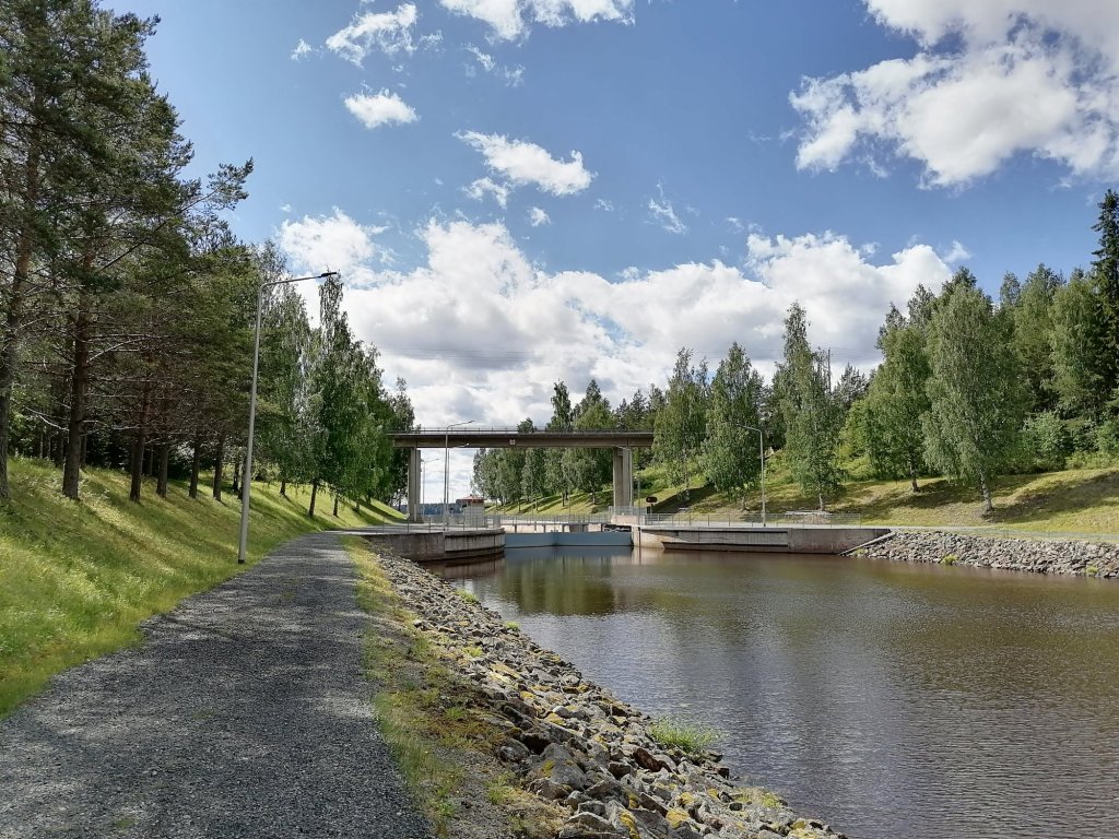
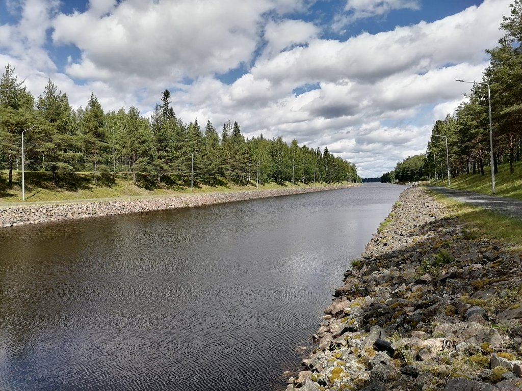
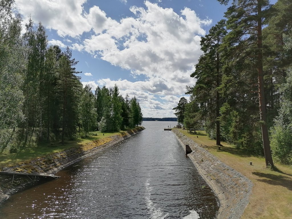
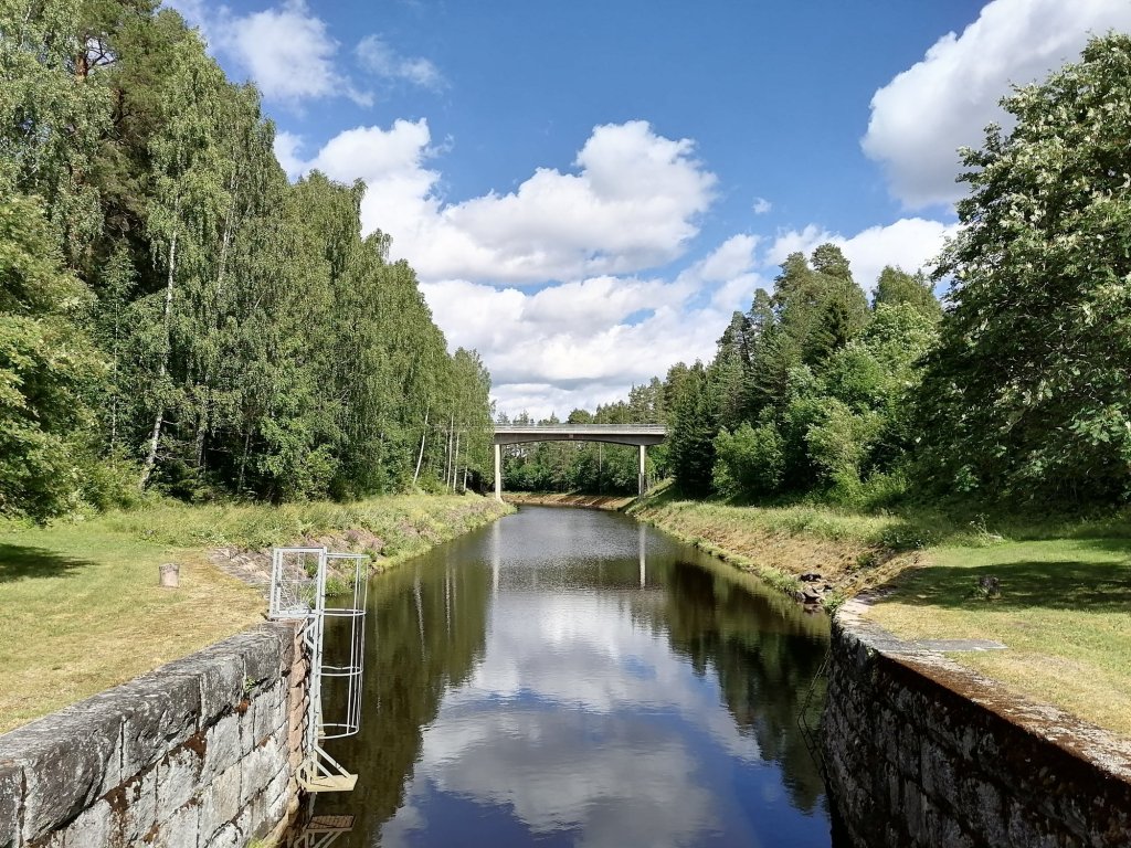
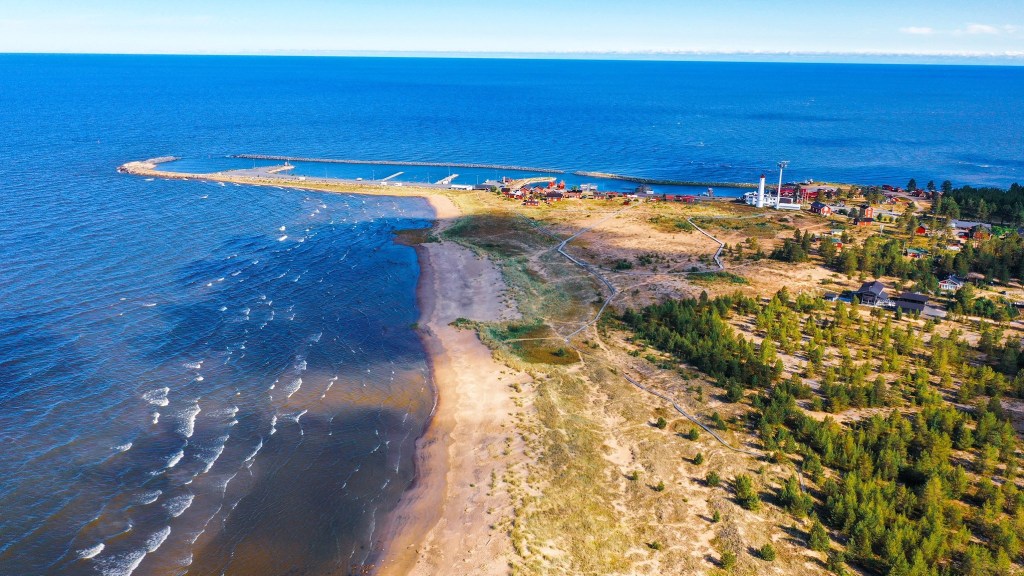
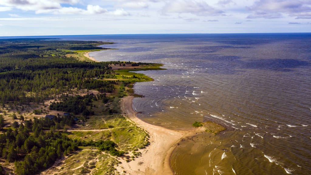
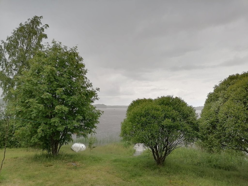
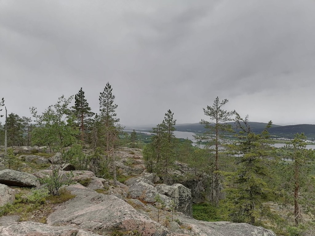
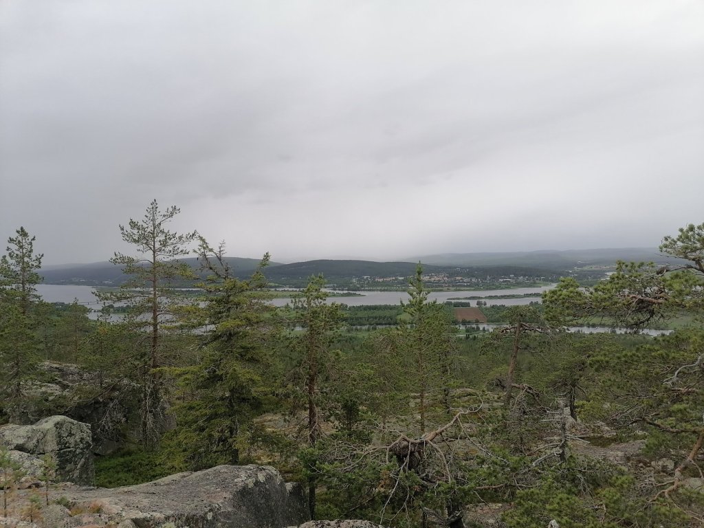
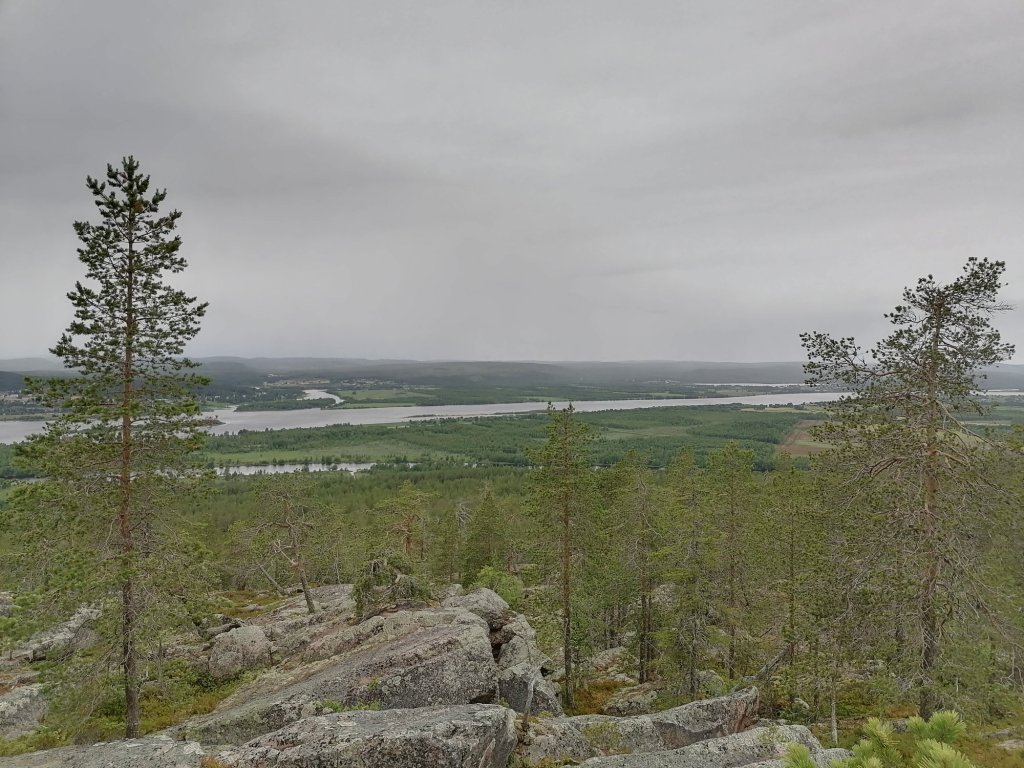
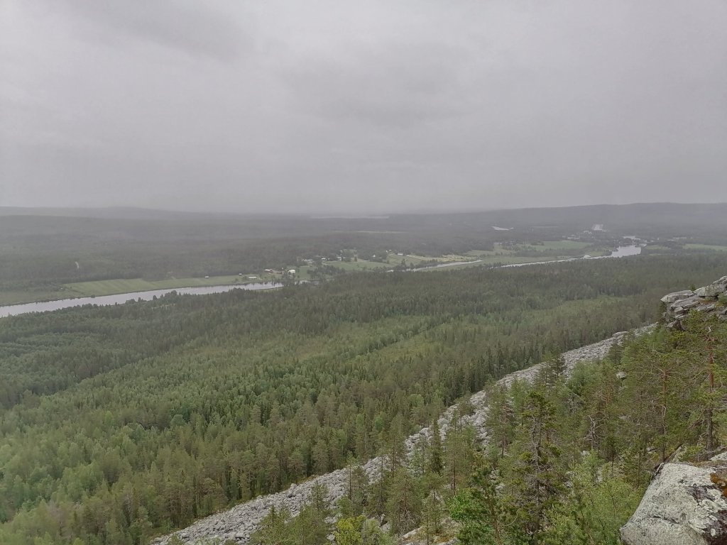
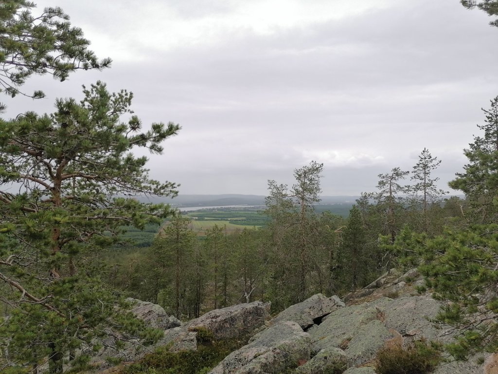
These pictures have been taken east from “Neljän tuulen tupa” cafeteria. There is area “Furuvik Nature preserve” (Furuvikin luonnonsuojelualue) where you can freely walk around and even take suntan but just don’t destroy anything from the nature.