Tag: places to visit

  • Saab museum
    The Uusikaupunki car factory produced Saabs for many years. So it is only natural that Saab has its own museum there. But nowadays there’s many other Car brands too! The POI in the TET is called “Saab museum”

    Old Rauma
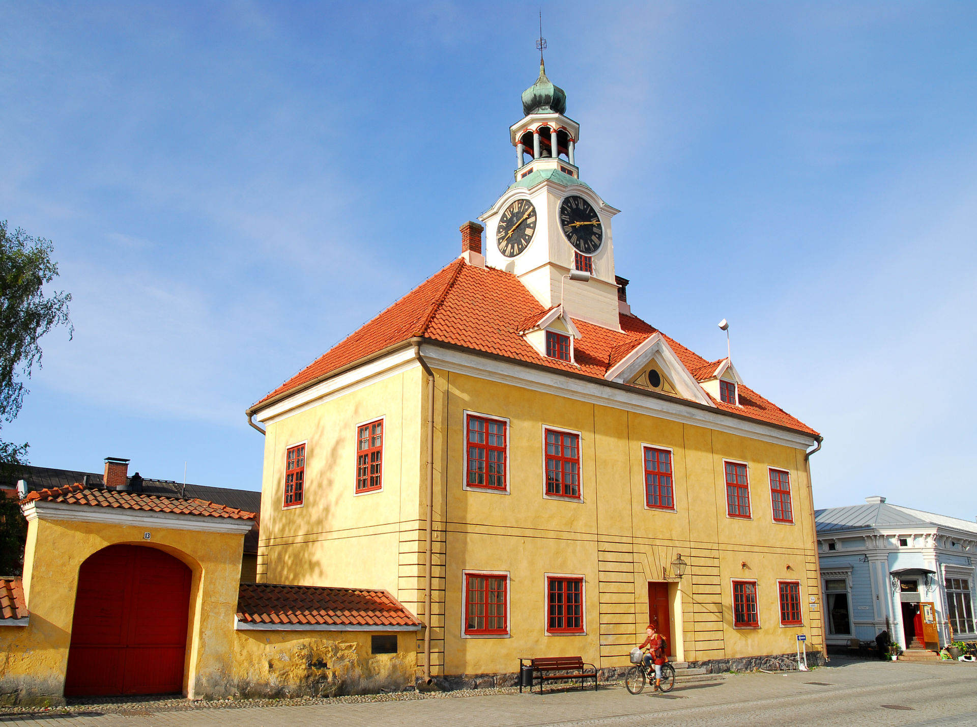
    The Old town of rauma is a Unesco World Heritage Site since 1991. The old part of the city consists of around 600 wooden houses which are used both for residential and commercial purposes. You will find some interesting shops, restaurants and cafeterias here.
    TET route makes a loop through the market square but it’s recommended to ride around the narrow streets of the Old town and maybe check the old stone church too. The old town hall was built in 1776 (unfortunately this building/ museum is closed until 2026).
    Kallo lighthouse
    8m tall lighthouse of Kallo was built in 1903. There’s something special about this small lighthouse and the place where it’s located! The POI in the TET gpx has the same name.

    Reposaari fortress park
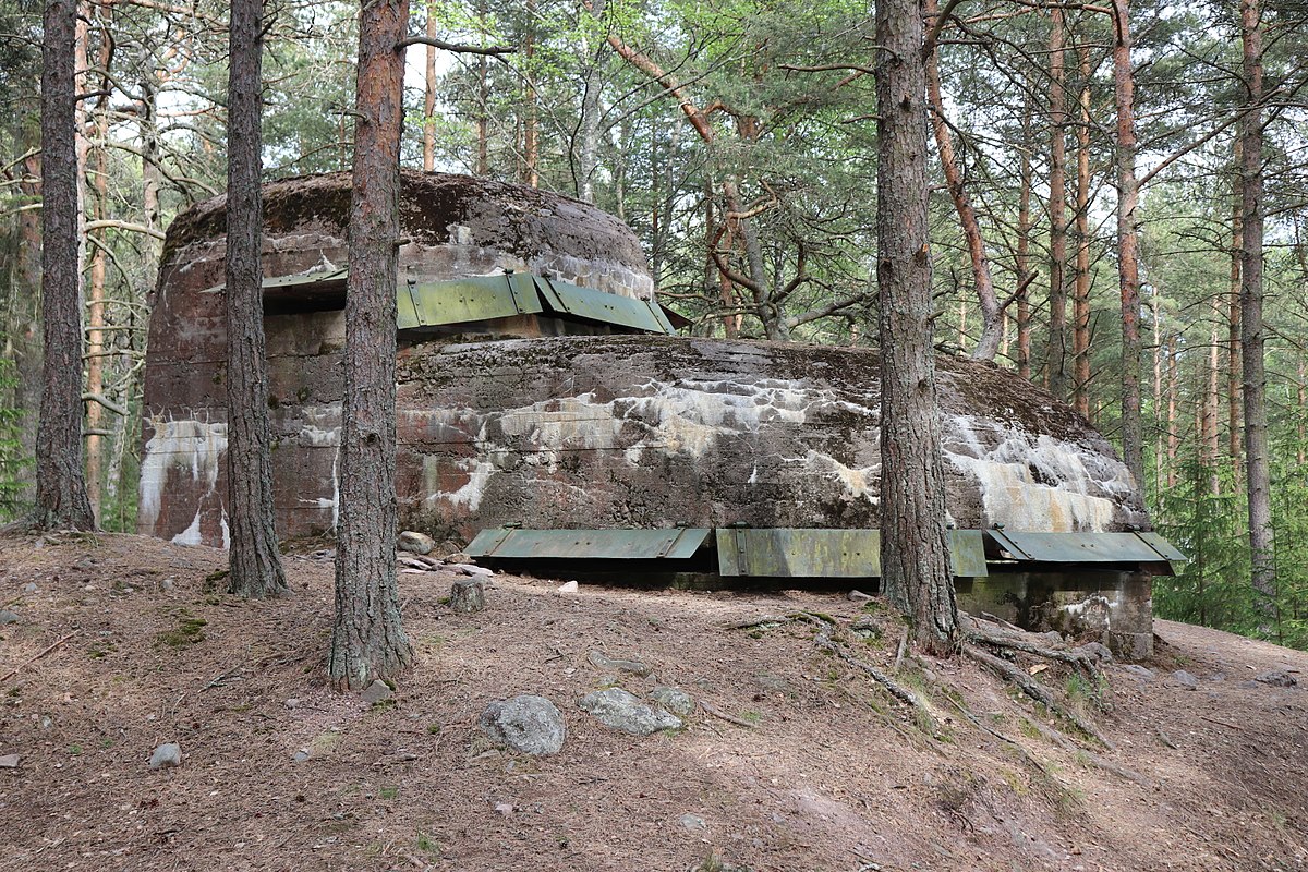
    This island and its coastline you can see from Kallo lighthouse. But you need to ride 15km to reach the Reposaari island! The POI in TET gpx is called “Fortress park”. There you will find a wide range of fortifications from the Second World War. And there is also an observation tower about 10m high with very nice views to the sea!
    Vattaja sand dunes
    The Vattaja dune area is a valuable landscape also by European standards. Vattaja is Europe’s largest coastal dune area in the boreal region, and with 15 kilometres of shoreline, it is also one of the longest sandy beaches in the Nordic countries.
    TET route would probably go through here but there are some military areas too so it’s not possible to make a nice route through the area. Now you need to ride about 35km north from TET track to reach Vattaja area. The POI in the TET gpx is called “Vattaja Beach & Dunes”
    If you don’t visit Vattaja dunes you can still check Yyteri or Kalajoki beaches near TET Section 3!

    Hailuoto/ Marjaniemi
    Hailuoto is The third biggest island in Finland. You can visit the island by ferry and in the future throught the bridge. The most western point of Hailuoto is called Marjaniemi and it offers nice sand beaches, a lighthouse and a small fishing village. The POI in the TET gpx is called “Hailuoto Marjaniemi”. You need to ride more than 60km west from the TET track (but 7km of this is in the ferry!)
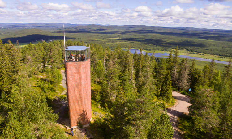
    Aavasaksa hilltop
    One of the first tourist attractions of Finland was the top of the hill of Aavasaksa. There is many things to see: Struve Geodetic Arc and The Imperial lodge that was built in 1883. But the best idea about the place you will have by hiking around the trail called The Scenic path of Aavasaksa.
    There is 2 POI’s in the TET gpx: “The Imperial Lodge” and “Aavasaksa Viewpoint terrace”. The Aavasaksa hilltop is about 3,5km noth from the TET track.
    Arctic Circle in Pello
    The cafeteria & Restaurant Tuomaan tupa is a crossing point of the Arctic Circle. North from here you can experience the midnight sun and the further north you go the longer the period of the midnight sun is!
    The POI in the TET gpx is called “Arctic Circle Pello”. You need to ride 2,8km north from the TET track.

  • Iso Valkee
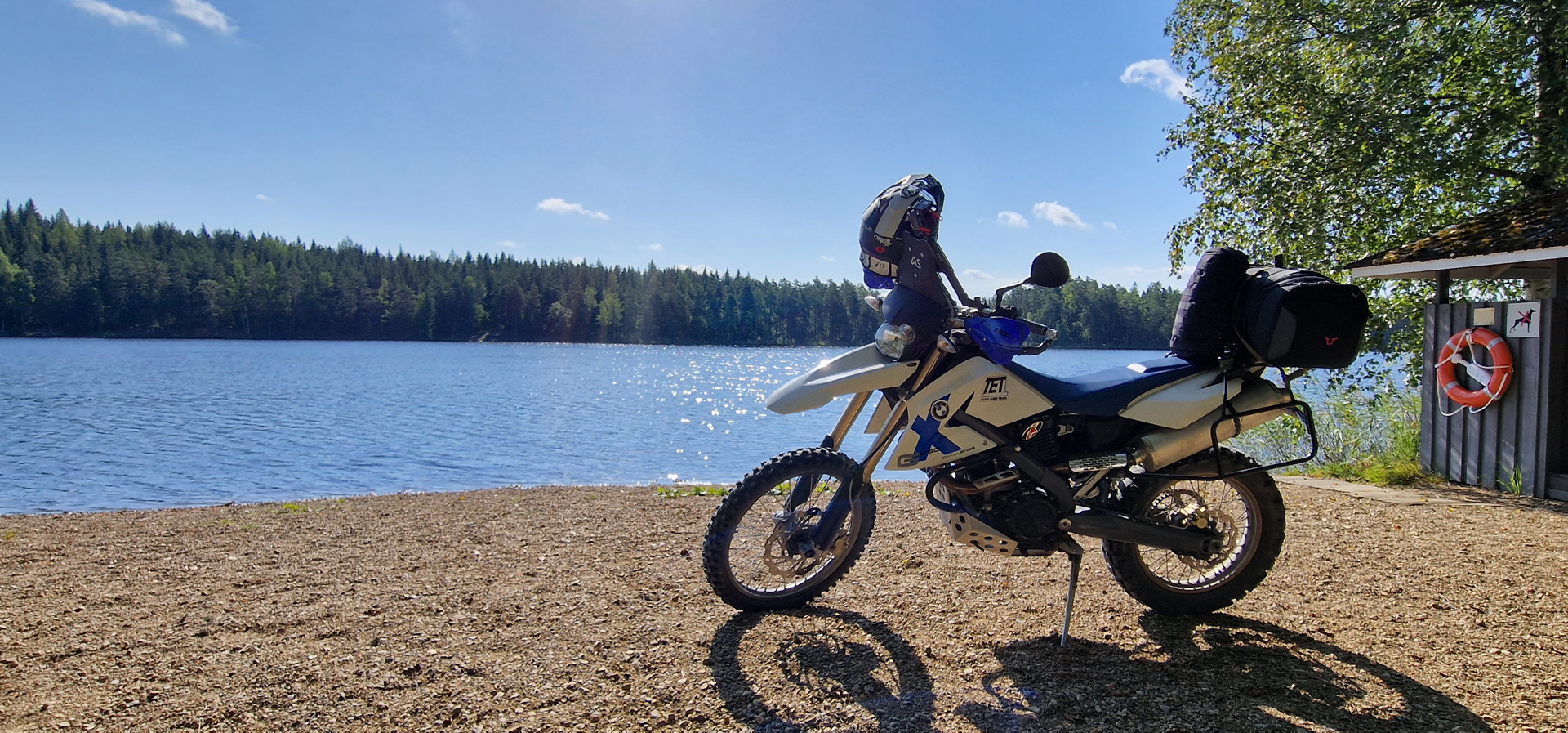
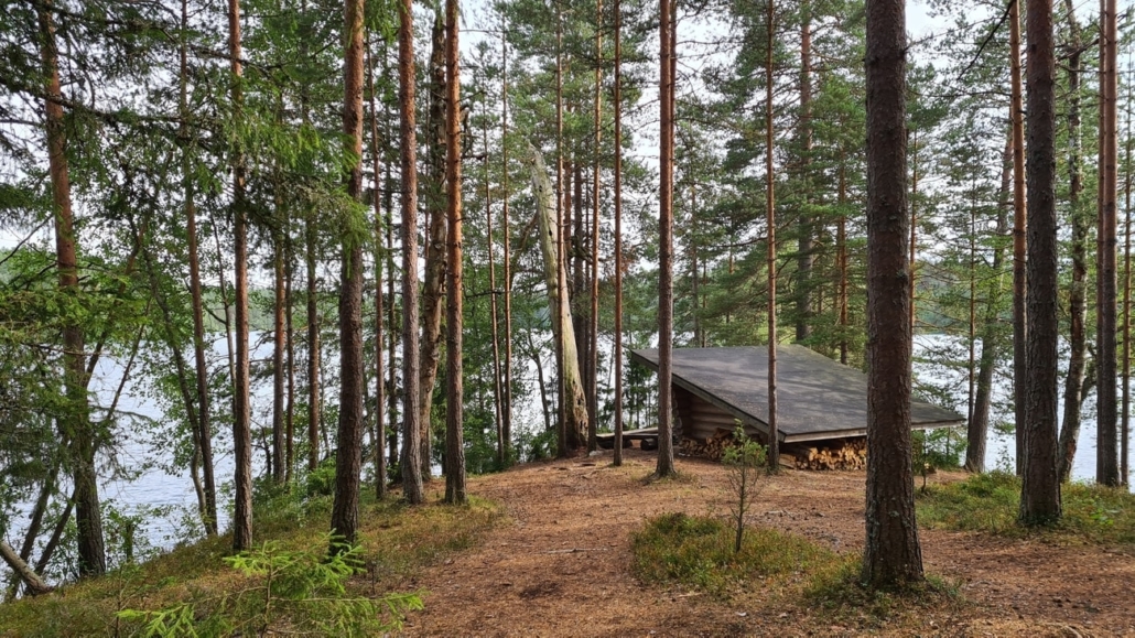
    You started from Helsinki 159km ago and you have been enjoying “Kiikala” area already 30km’s and now you have POI in your TET gpx called “Iso Valkee very nice place”. This is a small beach, camping area and Lean-To shelter by a very beautiful lake! The lake has very clear water and sand bottom so it’s a nice place for a swim. Or grilling some sousages and have a break.
    It’s ok to put your tent here and do wild camping. Remember: Don’t make fire if there is forest fire warning!

    Aulanko in Hämeenlinna
    You need to leave TET route just when you enter the main road 57 in Hattula/ Hämeenlinna. You need to ride 8km to south-east to reach the Aulanko area and there turn to left to Aulanko lookout tower.
    (Route here). Even if the tower itself is not open the place has amazing views to the lake and the tower itself looks quite unique. It’s 117 years old tower and the place is one of the national landscapes of Finland. The POI in TET gpx is called “Aulanko National view”.

    Niemisjärvi lake in Evo area
    You have been riding in Evo area already few km’s and the TET route makes a turn to the right to go around this lake. I recommend to ride straight to the place and have a short break there. With lean-to shelters, grilling places and a beautiful small beach it’s quite special place. You’re not allowed to ride over the bridge but you can park your bike before the bridge.
    POI is called “Niemisjärvi camping area”.

    Old church of Petäjävesi
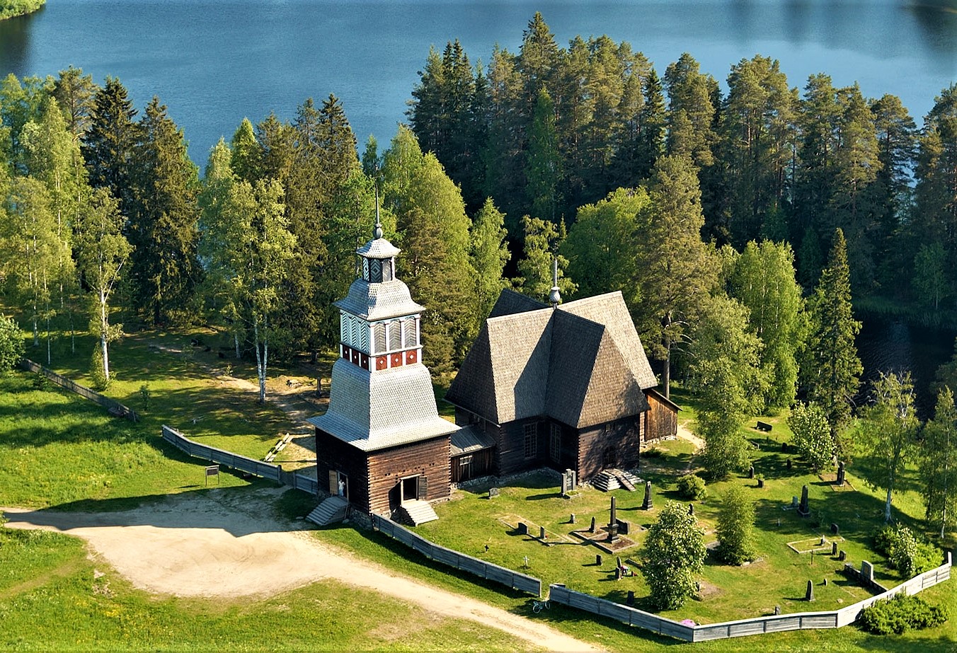
    You can see this wooden church from The TET route but we really recommend you to go and check this 250 years old wooden church. You can see the POI in TET gpx, it’s called “Old Church of Petäjävesi”.

    Finnish Air Force Museum
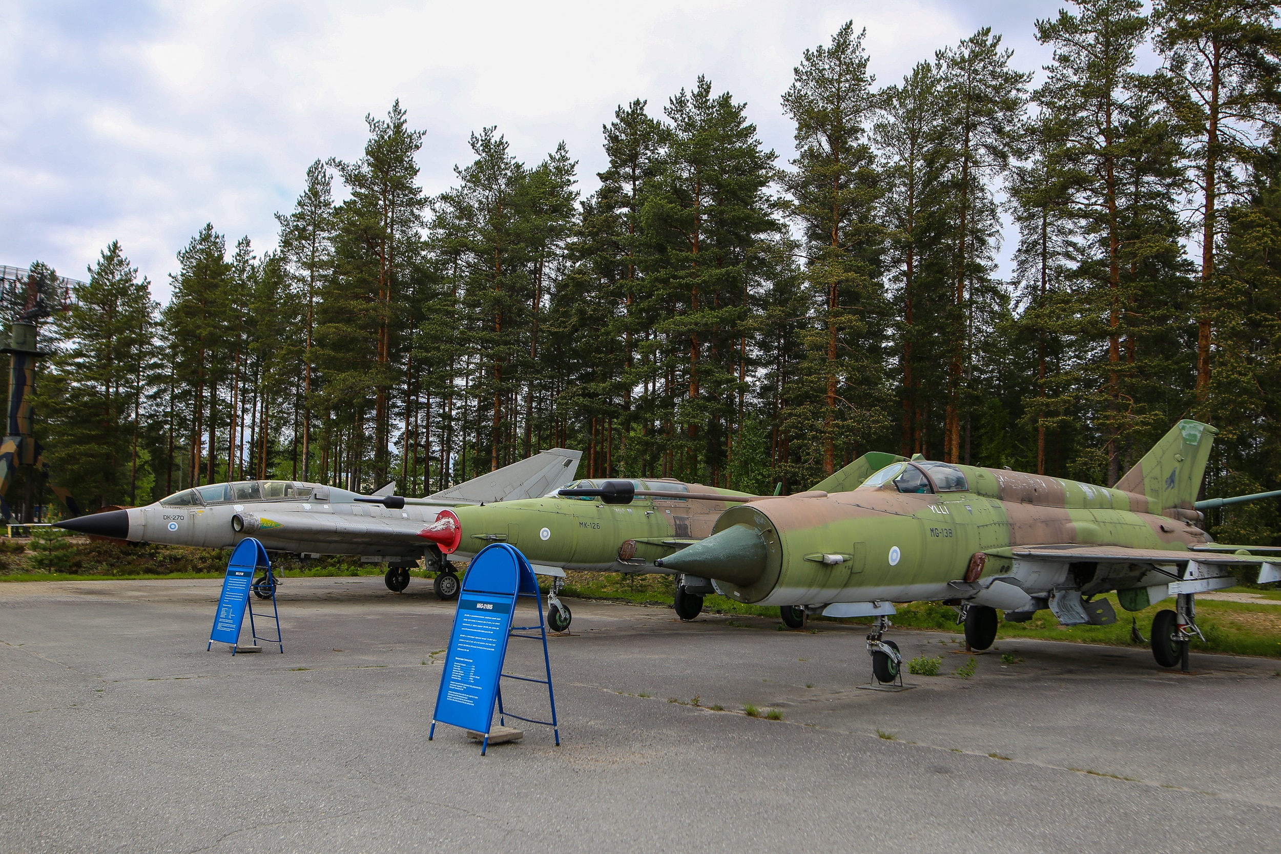
    You can see the planes and the museum from the route but if you are interested about this kind of stuff it is ofcourse recommended to go in!
    Google maps location

    Koli National landscape
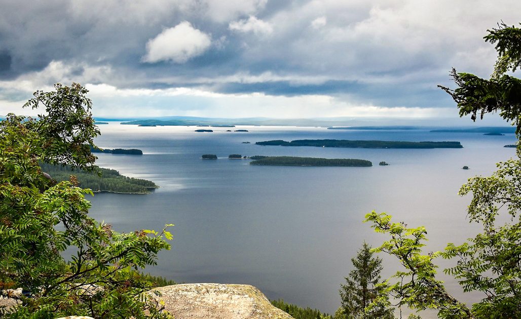
    If you want to visit Koli National park and the “famous view from the top of Koli” You need to ride about 20km away from the route near Juuka. And in Koli you need to leave your bike to the parking area and take the railcar to the top. From there it is about 1km hike to the lookout spot.
    POI is called “Koli hill top”.

    Raate road
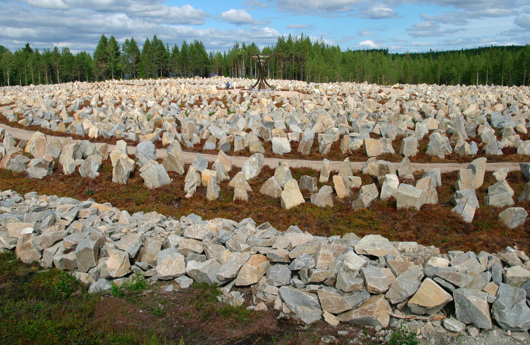
    The route goes across Raate road in Suomussalmi. You will probably see some tanks or something about the war while riding but it’s very much recommended to ride to the beginning of Raate Road. That is about 15km’s from the actual TET route to the museum area. Maybe visit the Raatteen portti museum or at least read about the Battle of Raate Road and check the Winter War Monument.
    POI’s are called “Raatteen portti” and “Winter War Monument”.

    Kiutaköngäs rapids
    The POI in TET gpx is called “Kiutaköngäs Rapids/ Waterfall”. If you ride 3 km north from the track you will find Oulanka National park (One of the gates to the park) and if you leave your bike to the parking area you will have about 1km hike to the famous rapids in the National park.

    Samperi’s locomotive
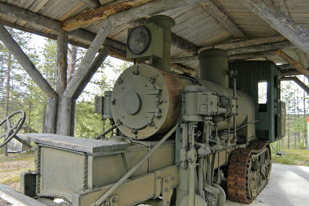
    About 4km east from the track you can find POI called “Tulppion majat” and just on the north side of that area there is a strange machine standing in the shelter. It’s a steam locomotive to be used in transporting logs from the forest closer to the road.